Inch Ford
Lake, Pool, Pond, Freshwater Marsh in Dumfriesshire
Scotland
Inch Ford
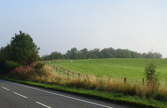
Inch Ford is a picturesque area located in Dumfriesshire, Scotland, known for its remarkable lake, pool, pond, and freshwater marsh. Situated amidst rolling hills and lush greenery, Inch Ford is a haven for nature enthusiasts and those seeking tranquility.
The highlight of the region is the expansive lake that stretches across the landscape. The lake is fed by nearby rivers and streams, ensuring a constant flow of fresh water. Its crystal-clear waters teem with a diverse range of aquatic life, including fish, waterfowl, and various species of plants.
Adjacent to the lake is a beautiful pool, which is smaller in size but equally enchanting. Surrounded by reeds and grasses, the pool provides a serene setting for visitors to relax and enjoy the peaceful ambiance. It is also a popular spot for birdwatching, as numerous species of water birds can be spotted here throughout the year.
A short distance away, nestled among the trees, is a serene pond. This smaller body of water is renowned for its tranquility and is a favorite spot for local wildlife, including frogs, dragonflies, and water lilies. The pond is a haven for photographers and nature lovers who enjoy capturing the peaceful scene.
Finally, Inch Ford boasts a captivating freshwater marsh. This marshland is home to a plethora of unique plant species, including reeds, rushes, and sedges. It serves as an important ecosystem, providing a habitat for various wildlife, such as frogs, insects, and water birds.
Overall, Inch Ford in Dumfriesshire offers a rich tapestry of natural wonders, from its expansive lake to its charming pool, pond, and freshwater marsh. Visitors to this idyllic location can immerse themselves in the beauty of the Scottish countryside and witness the diverse and fascinating wildlife that calls this place home.
If you have any feedback on the listing, please let us know in the comments section below.
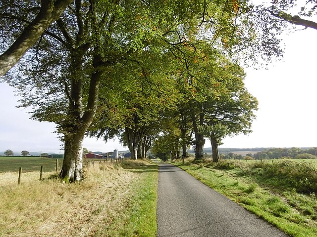
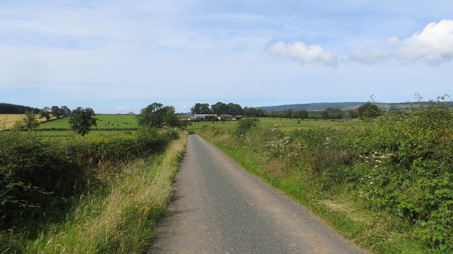
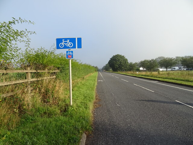
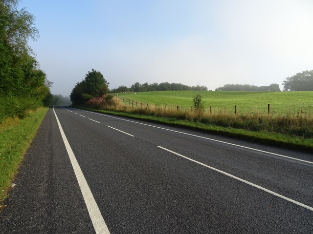
Inch Ford Images
Images are sourced within 2km of 55.194112/-3.4220331 or Grid Reference NY0989. Thanks to Geograph Open Source API. All images are credited.


Inch Ford is located at Grid Ref: NY0989 (Lat: 55.194112, Lng: -3.4220331)
Unitary Authority: Dumfries and Galloway
Police Authority: Dumfries and Galloway
What 3 Words
///bracelet.insulated.registers. Near Johnstonebridge, Dumfries & Galloway
Nearby Locations
Related Wikis

Dinwoodie railway station
Dinwoodie railway station was a station which served the rural area around the settlement of Dinwoodie, 6 miles north of Lockerbie in Applegarth parish...

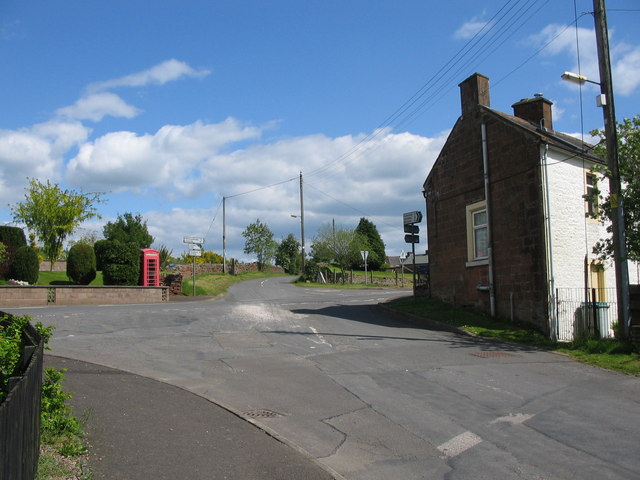
Johnstonebridge
Johnstonebridge is a village in Dumfries and Galloway, Scotland.It is roughly halfway between Moffat and Lockerbie, and lies on the A74(M) motorway. The...
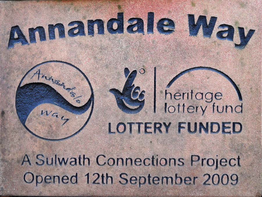
Annandale Way
The Annandale Way is a 90-kilometre (56 mi) hiking trail in Scotland, which is officially designated by NatureScot as one of Scotland's Great Trails. It...
Corncockle Quarry
Corncockle Quarry was a large and historically important sandstone quarry near Templand in Dumfries and Galloway, Scotland. Stone from here was used in...

Annandale Water services
Annandale Water services is a motorway service station in the village of Johnstonebridge, Scotland. The service station is located next to the A74(M) motorway...

Annandale Water
Annandale Water is a loch in Annandale, Dumfries and Galloway, in the south west of Scotland. It is part of Annandale Water service station at Junction...
Templand
Templand is a village in Dumfriesshire, Scotland, located around 4.5 miles (7.2 km) northwest of Lockerbie. Templand was built during the Industrial Revolution...
Millhousebridge
Millhousebridge (Scottish Gaelic: Drochaid a' Mhuilinn) is a village in Dumfries and Galloway, Scotland. == References ==
Nearby Amenities
Located within 500m of 55.194112,-3.4220331Have you been to Inch Ford?
Leave your review of Inch Ford below (or comments, questions and feedback).