Cogra Moss
Lake, Pool, Pond, Freshwater Marsh in Cumberland Copeland
England
Cogra Moss
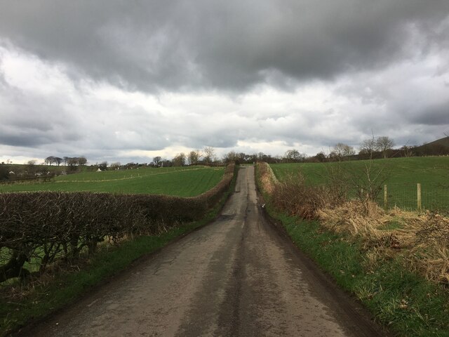
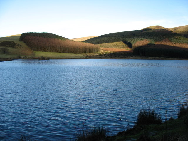
Cogra Moss is a serene and picturesque freshwater marsh located in Cumberland, a county in northwestern England. Spanning over 40 hectares, it is a popular destination for nature enthusiasts and offers a tranquil escape from the bustling city life.
The centerpiece of Cogra Moss is its expansive lake, which stretches over 20 hectares. The lake is fed by several small streams and springs, ensuring a constant supply of fresh water. With a maximum depth of 12 meters, it provides a suitable habitat for a diverse range of aquatic flora and fauna.
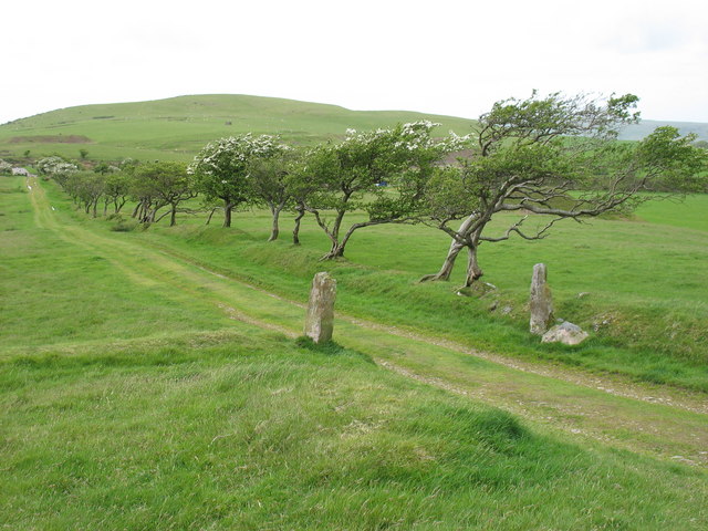
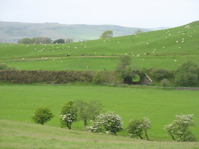
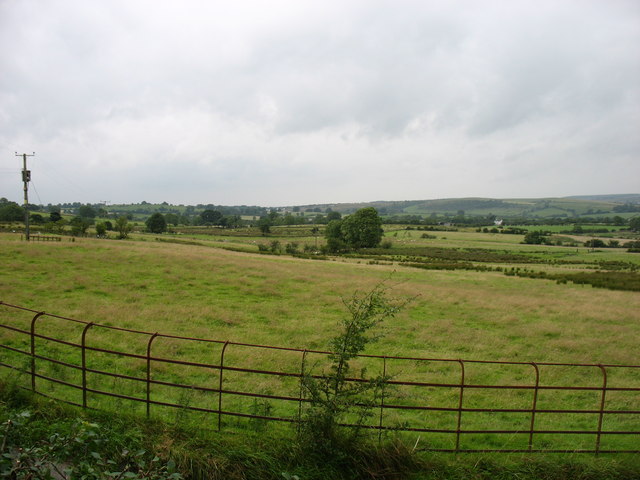
Surrounding the lake is a rich mosaic of habitats, including pools, ponds, and marshes. These areas are home to an abundance of plant species, such as reeds, rushes, and water lilies, which thrive in the moist environment. The marshes attract a variety of bird species, including herons, ducks, and swans, making it a haven for birdwatchers.
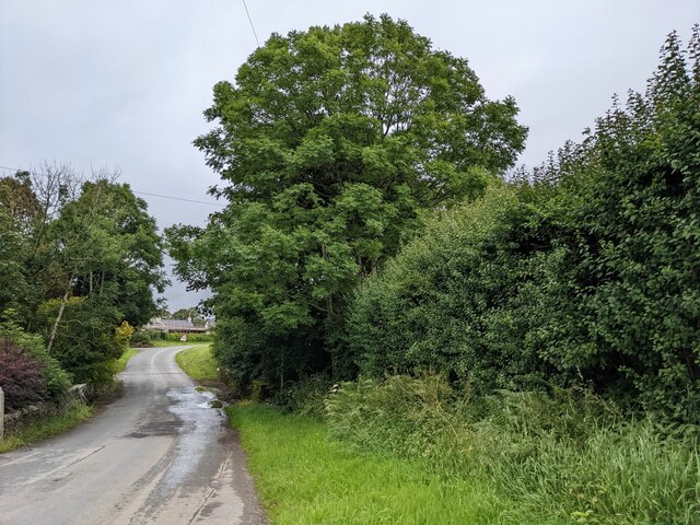
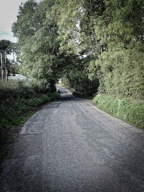
Cogra Moss also boasts a network of walking trails that allow visitors to explore the area's natural beauty. The trails meander through woodlands, wetlands, and open meadows, offering glimpses of wildlife and breathtaking views of the lake.
In addition to its natural allure, Cogra Moss holds historical significance. The area was once used for mining during the 19th century, and remnants of this industrial past can still be seen today. The ruins of old mine buildings and equipment serve as a reminder of the area's industrial heritage.
Overall, Cogra Moss is a captivating destination for those seeking tranquility and natural beauty. Its diverse habitats, scenic lake, and historical remnants make it a must-visit location for nature lovers and history enthusiasts alike.
If you have any feedback on the listing, please let us know in the comments section below.
Cogra Moss Images
Images are sourced within 2km of 54.562926/-3.400562 or Grid Reference NY0919. Thanks to Geograph Open Source API. All images are credited.
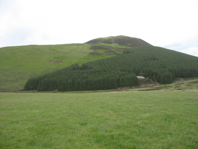
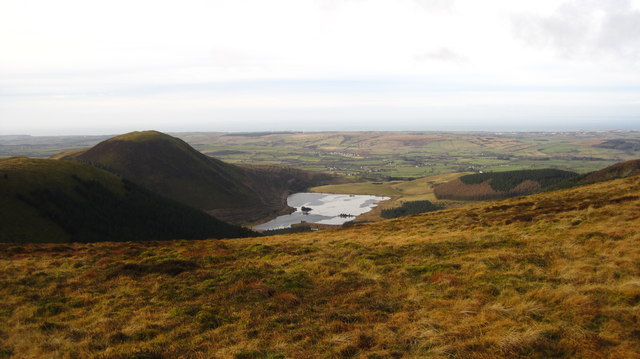
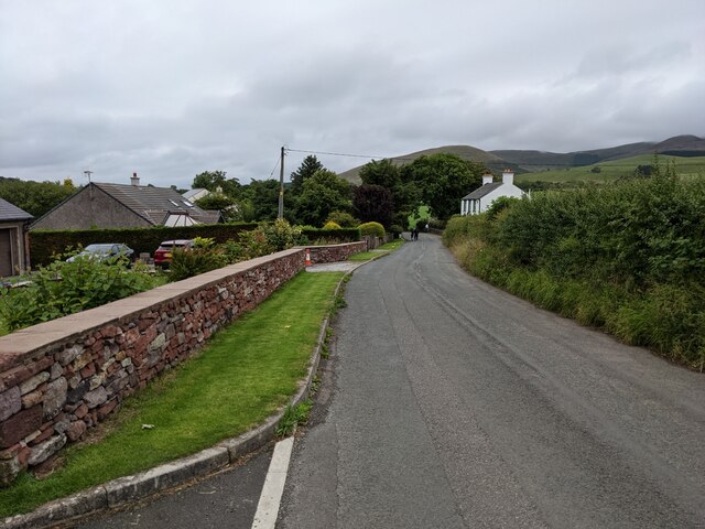
![Murton Fell [Knock Murton] Via Harris Side from minor road on grey day.
Name: Murton Fell [Knock Murton]
Hill number: 2492
Height: 447m / 1467ft
Area: 34B: Lake District - Central &amp; Western Fells
Class: Hu,sMa,B
Grid ref: NY 09485 19079
Summit feature: no feature: 2m from small narrow cairn
Drop: 141m
Col: 306m NY098188](https://s0.geograph.org.uk/geophotos/03/30/99/3309968_a14d8fdb.jpg)
Cogra Moss is located at Grid Ref: NY0919 (Lat: 54.562926, Lng: -3.400562)
Administrative County: Cumbria
District: Copeland
Police Authority: Cumbria
What 3 Words
///beyond.outdoors.lessening. Near Frizington, Cumbria
Nearby Locations
Related Wikis

Cogra Moss
Cogra Moss is a shallow reservoir to the east of the village of Lamplugh on the western edge of the English Lake District. It was created by the damming...

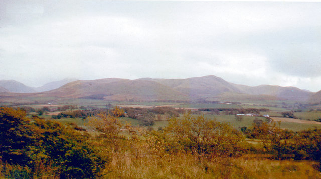
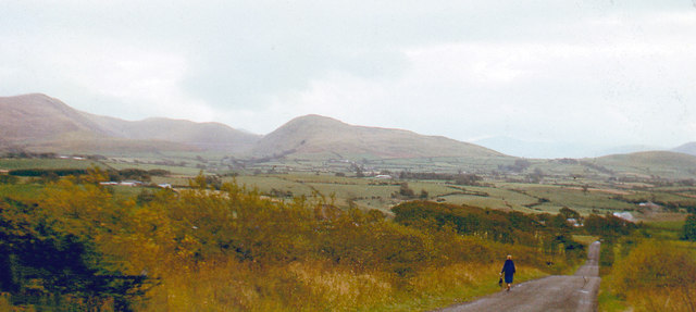
Knock Murton
Knock Murton or Murton Fell is a hill of 464.4 metres (1,524 ft) in the north west of the Lake District, England. It lies in the Borough of Copeland in...

St Michael, Lamplugh
St Michael is in Lamplugh, Cumbria, England. It is an active Anglican parish church in the deanery of Calder, and the diocese of Carlisle. Its benefice...
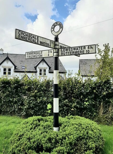
Lamplugh
Lamplugh () is a scattered community and civil parish located in West Cumbria on the edge of the English Lake District and historically part of Cumberland...
Nearby Amenities
Located within 500m of 54.562926,-3.400562Have you been to Cogra Moss?
Leave your review of Cogra Moss below (or comments, questions and feedback).