Loweswater

Civil Parish in Cumberland Allerdale

England

Loweswater

Houses at High House
Houses at High House Credit: David Medcalf

Loweswater is a civil parish located in the county of Cumberland, in the northwestern part of England. Situated in the Lake District National Park, it is a rural area renowned for its natural beauty and tranquil atmosphere. The parish is named after the picturesque Loweswater Lake, which lies at its heart.

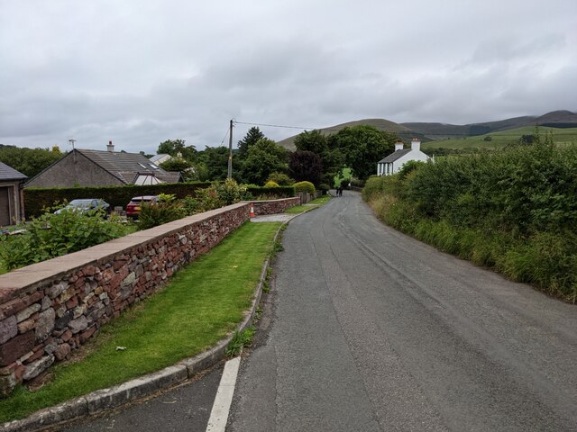
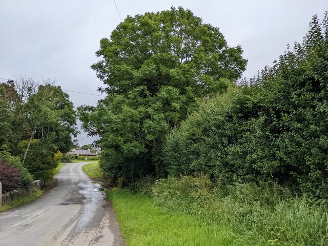
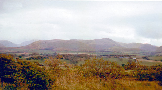
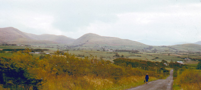
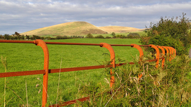
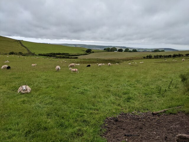
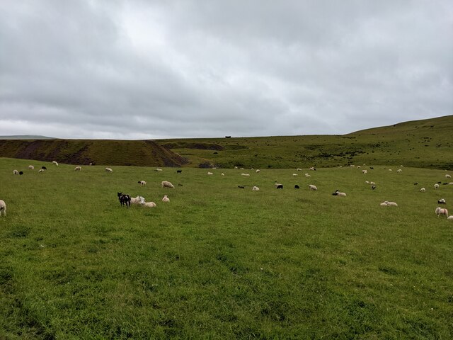
Loweswater is characterized by its stunning landscapes, encompassing rolling hills, lush green fields, and dense woodlands. The lake itself is a popular spot for fishing and boating, offering visitors the opportunity to enjoy its calm waters and admire the surrounding scenery. The area is also home to a diverse range of wildlife, including various bird species and mammals.

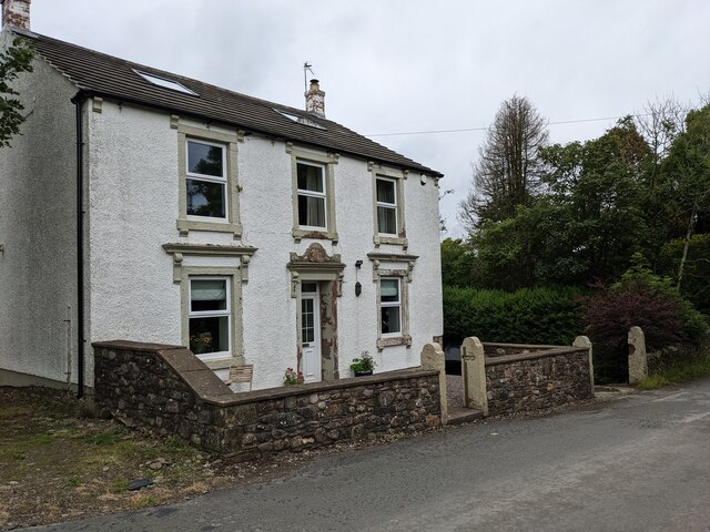
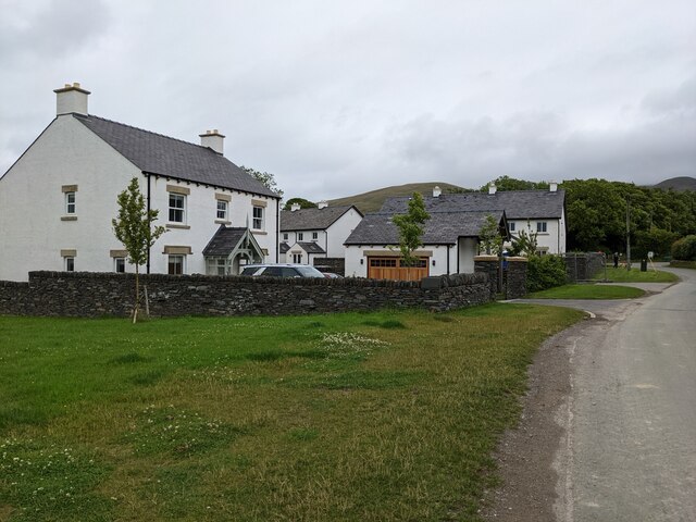
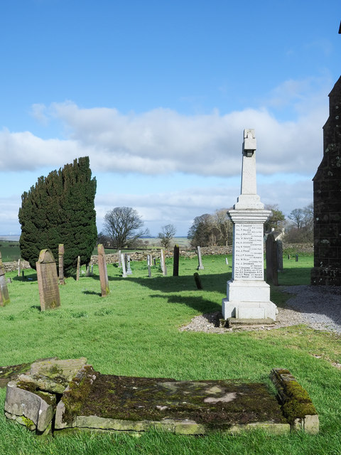
The parish is sparsely populated, with only a few small settlements scattered throughout the area. The village of Loweswater serves as the administrative center and is home to a handful of traditional cottages and a charming church. There are also a few amenities available, including a pub and a tearoom, catering to the needs of both residents and tourists.

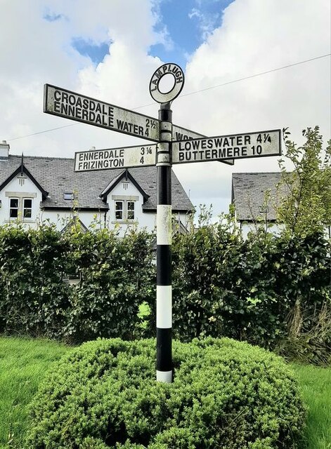
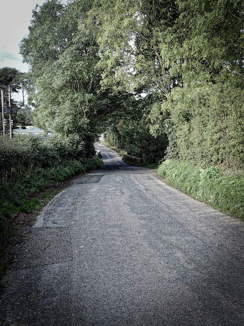
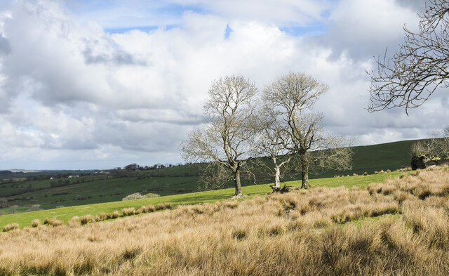
Loweswater is a haven for outdoor enthusiasts, offering numerous walking and hiking trails that showcase the natural beauty of the region. The parish is well-connected to the wider Lake District, with nearby attractions including Crummock Water and Buttermere Lake. The surrounding fells provide breathtaking views and an opportunity to engage in activities such as mountain biking and rock climbing.

Overall, Loweswater is a peaceful and idyllic civil parish, offering visitors a chance to escape the hustle and bustle of everyday life and immerse themselves in the stunning landscapes of the Lake District.

If you have any feedback on the listing, please let us know in the comments section below.
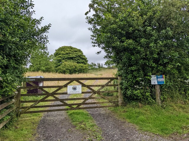
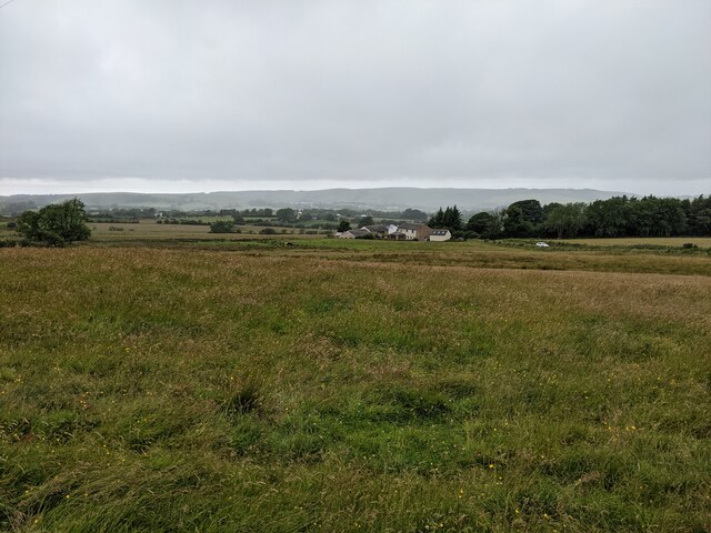
Loweswater Images

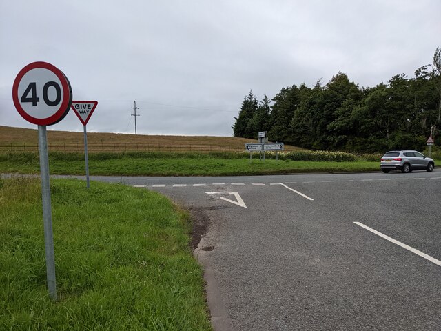
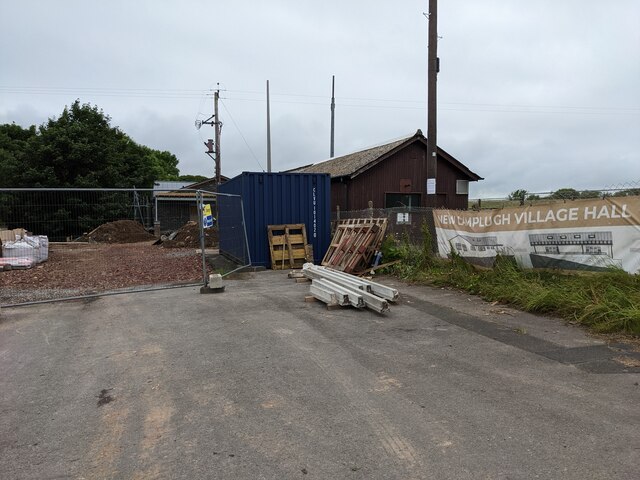
Images are sourced within 2km of 54.565254/-3.406671 or Grid Reference NY0919. Thanks to Geograph Open Source API. All images are credited.

Houses at High House
The road near High Millgillhead
A house at High Millgillhead
Houses at Fitz Bridge
Direction Sign – Signpost at Fitz Bridge, Lamplugh Located on the west side of the road in front of new houses at Fitz Bridge in Lamplugh parish. 4 arms and annulus finial.

Milestone Society National ID: CU_NY0820
Direction Sign – Signpost at Fitz Bridge, Lamplugh
Located on the west side of the road in front of new houses at Fitz Bridge in Lamplugh parish. 4 arms and annulus finial. Milestone Society National ID: CU_NY0820
Old Boundary Marker on Crossgates Bridge Township Boundary Marker at the north end of the east parapet of Crossgates Bridge. On the former boundary of Murton and Lamplugh townships but now entirely in Lamplugh parish.

Milestone Society National ID: CU_LAMP07pb
Old Boundary Marker on Crossgates Bridge
Township Boundary Marker at the north end of the east parapet of Crossgates Bridge. On the former boundary of Murton and Lamplugh townships but now entirely in Lamplugh parish. Milestone Society National ID: CU_LAMP07pb
Loweswater Fells, from Lamplugh, 1966 View ENE from by Lamplugh Hall, to Blake Fell (highest at 1,880 ft.).
Loweswater Fells, from Lamplugh, 1966
View ENE from by Lamplugh Hall, to Blake Fell (highest at 1,880 ft.).
Lamplugh Fells from near Lamplugh, 1966 View SSE near Dockray Nook to Blake Fell (1,880 ft.) on left, Murton Fell (1,463 ft.) in centre; Cogra Moss is just visible.
Lamplugh Fells from near Lamplugh, 1966
View SSE near Dockray Nook to Blake Fell (1,880 ft.) on left, Murton Fell (1,463 ft.) in centre; Cogra Moss is just visible.
Approaching Stegcroft Bridge
Iron fencing near Felldyke
War memorial at Lamplugh The small settlement at Lamplugh is at the western edge of the Lake District National Park. Much of the village lies just within the park boundary; its church, St. Michael's, lies outside.
The war memorial stands at the west end of the church; it has clearly been cleaned since Matthew Hatton photographed it in May 2014 - <a title="https://www.geograph.org.uk/photo/4019954" href="https://www.geograph.org.uk/photo/4019954">Link</a>.
War memorial at Lamplugh
The small settlement at Lamplugh is at the western edge of the Lake District National Park. Much of the village lies just within the park boundary; its church, St. Michael's, lies outside. The war memorial stands at the west end of the church; it has clearly been cleaned since Matthew Hatton photographed it in May 2014 - Link.
Trees and rushes in field The field is below a minor road on the north-western slope of Oswen Fell.
Trees and rushes in field
The field is below a minor road on the north-western slope of Oswen Fell.
Junction with the A5086
The new Lamplugh Village Hall Work in progress!
The new Lamplugh Village Hall
Work in progress!
Fields near Smaithwaite Farm
Fields by Smaithwaite Beck Looking towards the old mine tips.
Fields by Smaithwaite Beck
Looking towards the old mine tips.
The gate to Felldyke Bunkhouse
Looking across the field to High Trees
Show me another place!

Loweswater is located at Grid Ref: NY0919 (Lat: 54.565254, Lng: -3.406671)

Administrative County: Cumbria

District: Allerdale

Police Authority: Cumbria

What 3 Words

///months.bridges.song. Near Frizington, Cumbria

Related Wikis

Cogra Moss

Cogra Moss is a shallow reservoir to the east of the village of Lamplugh on the western edge of the English Lake District. It was created by the damming...

Knock Murton

Knock Murton or Murton Fell is a hill of 464.4 metres (1,524 ft) in the north west of the Lake District, England. It lies in the Borough of Copeland in...

St Michael, Lamplugh

St Michael is in Lamplugh, Cumbria, England. It is an active Anglican parish church in the deanery of Calder, and the diocese of Carlisle. Its benefice...

Lamplugh

Lamplugh () is a scattered community and civil parish located in West Cumbria on the edge of the English Lake District and historically part of Cumberland...

Nearby Amenities

Located within 500m of 54.565254,-3.406671
Dockray Nook
Place: locality
Lat/Long: 54.568458/-3.4115719
Rakegill Wood
Place: locality
Lat/Long: 54.5632963/-3.409732
Barrier: kissing_gate
Source: survey;gps
Lat/Long: 54.5652248/-3.4127452
Power: pole
Lat/Long: 54.5669013/-3.4135053
Power: pole
Lat/Long: 54.5671162/-3.4129928
Power: pole
Lat/Long: 54.5673311/-3.4124621
Power: pole
Lat/Long: 54.5675343/-3.4119597
The data included in this document is from www.openstreetmap.org. The data is made available under ODbL.

Have you been to Loweswater?

Leave your review of Loweswater below (or comments, questions and feedback).