Lowestoft
Civil Parish in Suffolk East Suffolk
England
Lowestoft
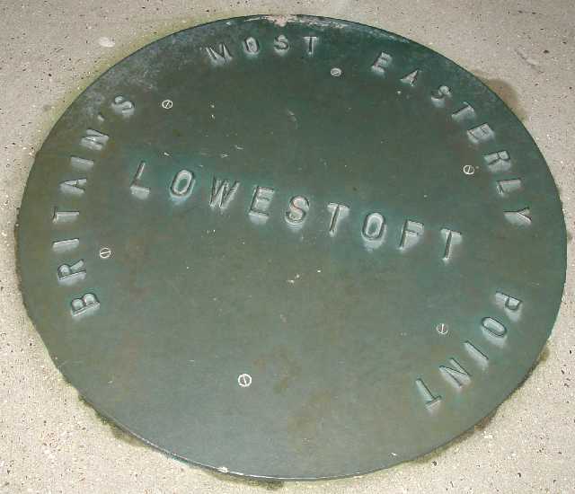
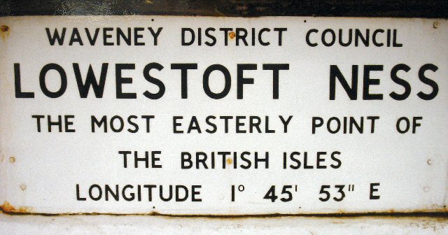
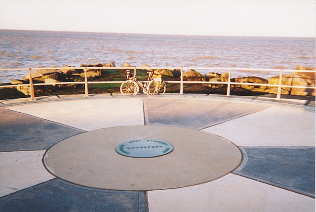
Lowestoft is a civil parish and a town located in the county of Suffolk, England. Situated on the eastern coast of England, it is the most easterly settlement in the United Kingdom. Lowestoft is situated on the North Sea coast at the mouth of the River Waveney, and it is approximately 110 miles northeast of London.
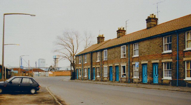
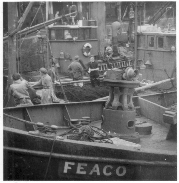
The town has a rich history, with evidence of human habitation dating back to the Paleolithic era. Lowestoft was originally a fishing village, and its economy was primarily based on fishing until the decline of the industry in the 20th century. Today, it is a popular seaside resort and a major port.
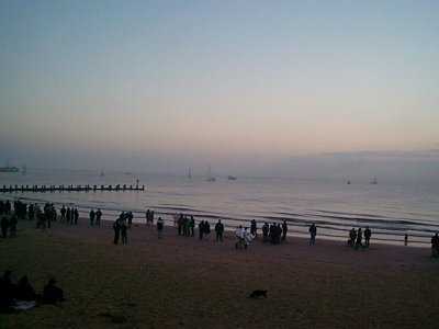
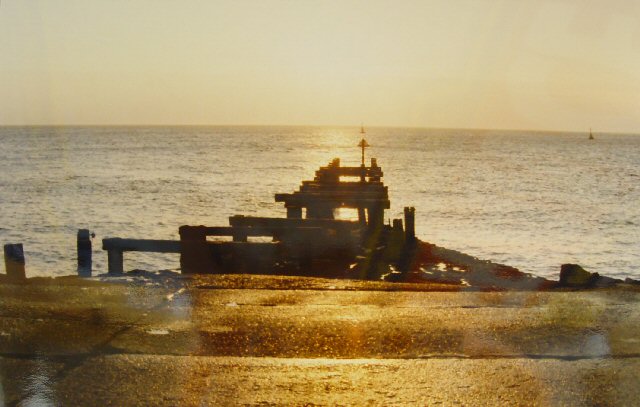
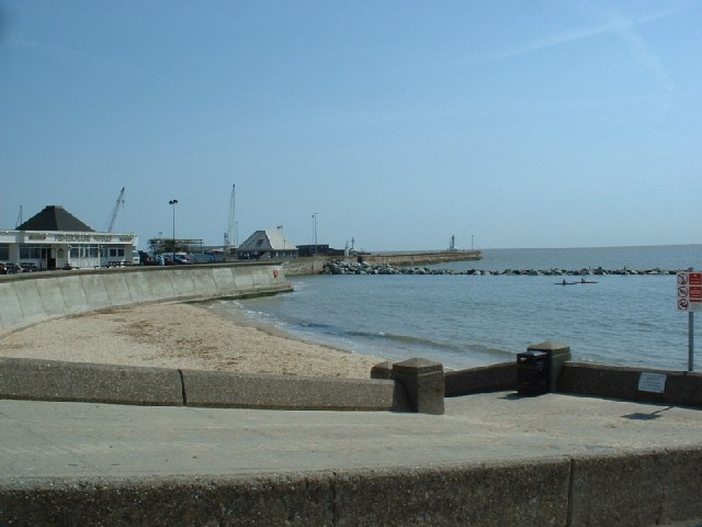
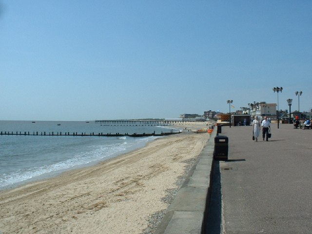
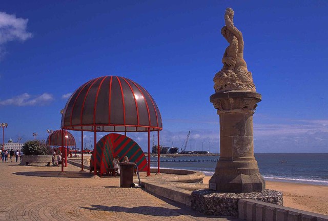
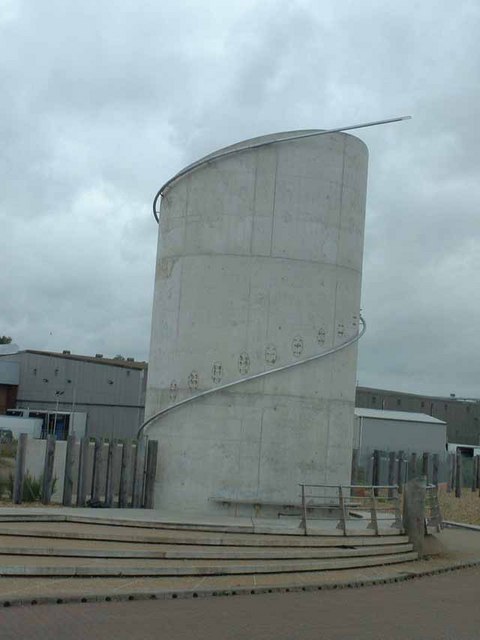
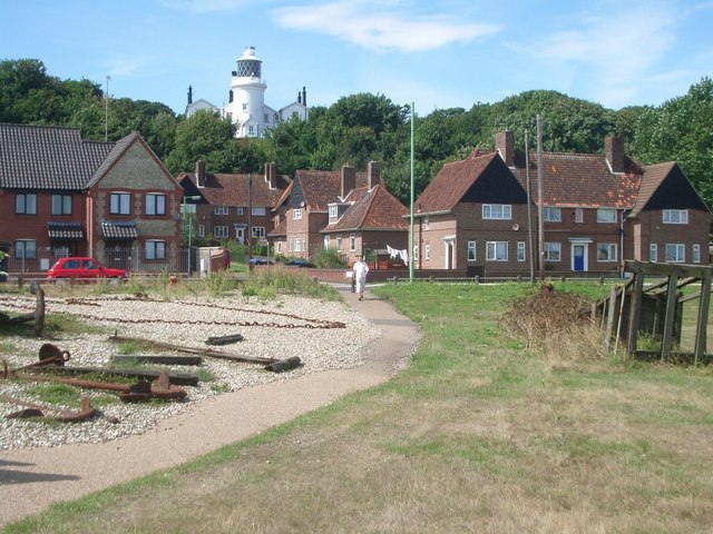
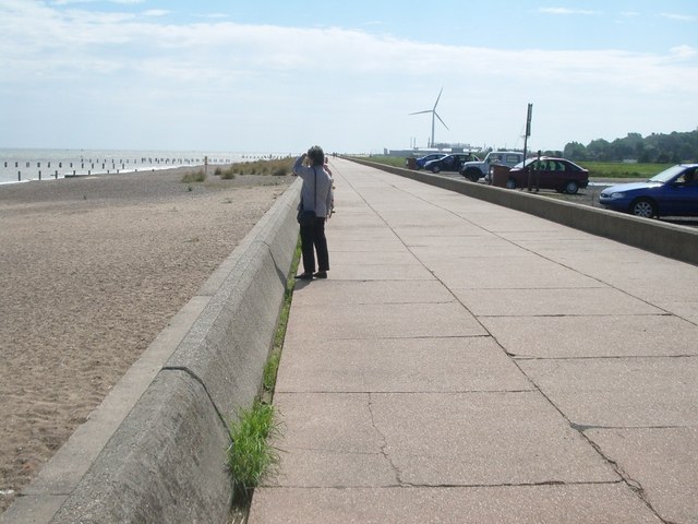
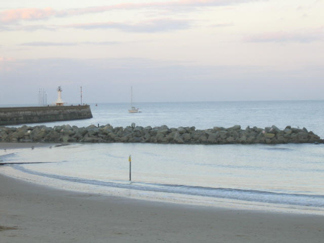
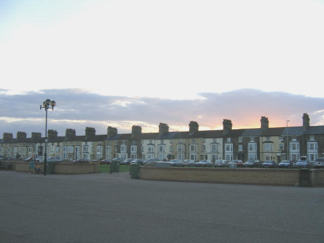
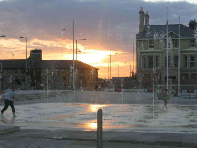
Lowestoft is known for its beautiful sandy beaches, which attract tourists from all over the country. The town has a lively seafront area with amusement arcades, cafes, and restaurants. There are also several piers and a lighthouse that are popular attractions for visitors.
In addition to its tourism industry, Lowestoft is home to a variety of industries, including offshore energy, oil and gas exploration, and renewable energy. The town is a hub for the offshore wind industry and has several wind farms located off its coast.
Lowestoft is well-connected to the rest of the country by road and rail. The A12 road connects the town to London and other major cities, while the town's railway station provides regular services to Norwich and Ipswich.
The population of Lowestoft is approximately 70,000, and the town is served by several primary and secondary schools, as well as a college. Overall, Lowestoft offers a combination of natural beauty, historical significance, and economic opportunities, making it a vibrant and attractive place to live or visit.
If you have any feedback on the listing, please let us know in the comments section below.
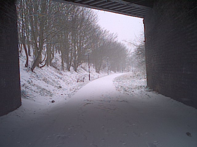
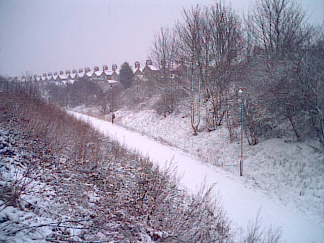
Lowestoft Images
Images are sourced within 2km of 52.484626/1.750288 or Grid Reference TM5494. Thanks to Geograph Open Source API. All images are credited.
Lowestoft is located at Grid Ref: TM5494 (Lat: 52.484626, Lng: 1.750288)
Administrative County: Suffolk
District: East Suffolk
Police Authority: Suffolk
What 3 Words
///charmingly.crash.smile. Near Lowestoft, Suffolk
Nearby Locations
Related Wikis
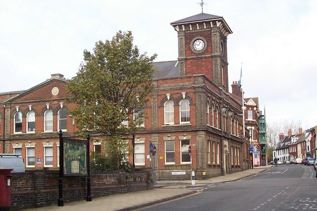
Lowestoft Town Hall
Lowestoft Town Hall is a municipal building in the High Street, Lowestoft, Suffolk, England. The town hall, which was the meeting place of Lowestoft Council...
Waveney District
Waveney was a local government district in Suffolk, England, named after the River Waveney that formed its north-east border. The district council was...

Lowestoft Sixth Form College
Lowestoft Sixth Form College is a sixth-form college in the town of Lowestoft in the English county of Suffolk. The college opened in September 2011, replacing...

Lowestoft Lighthouse
Lowestoft Lighthouse is a lighthouse operated by Trinity House located to the north of the centre of Lowestoft in the English county of Suffolk. It stands...
Nearby Amenities
Located within 500m of 52.484626,1.750288Have you been to Lowestoft?
Leave your review of Lowestoft below (or comments, questions and feedback).