High Plantation

Wood, Forest in Dumfriesshire

Scotland

High Plantation

Mast and Trig Point Hetland Hill
Mast and Trig Point Hetland Hill Credit: thejackrustles

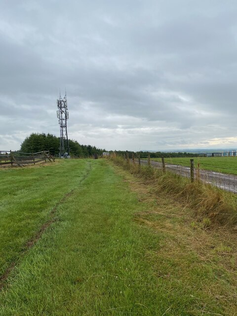
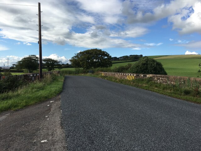
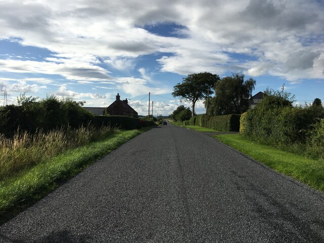
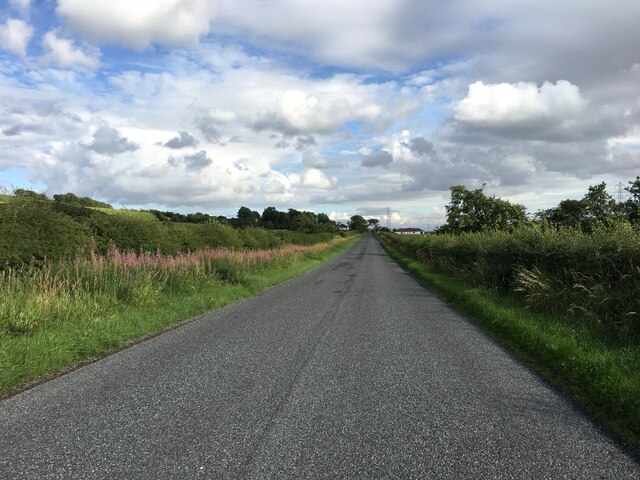
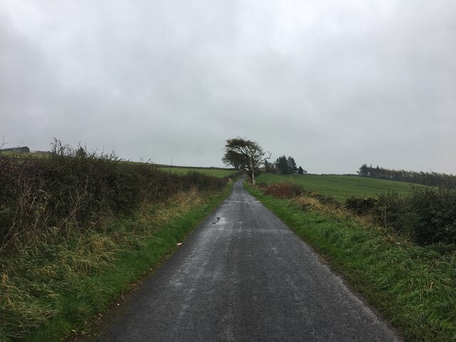
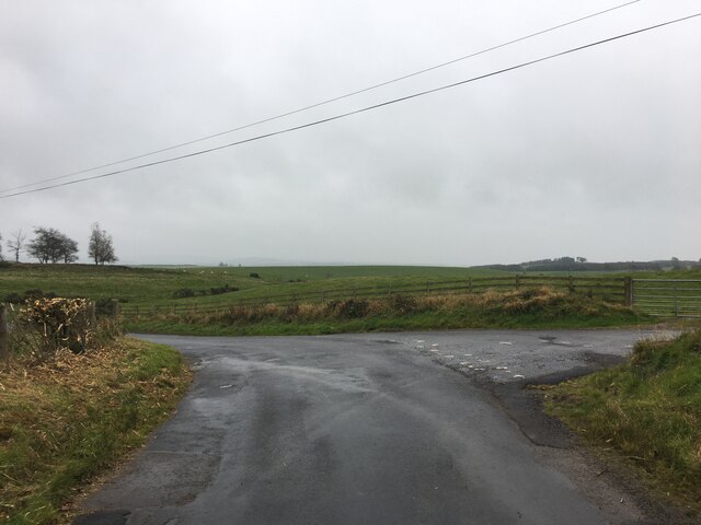
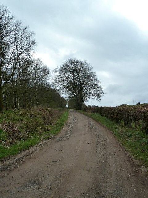
High Plantation is a scenic woodland located in Dumfriesshire, Scotland. This beautiful forest spans over a vast area and offers a serene and tranquil environment for nature lovers and outdoor enthusiasts. The plantation is situated amidst rolling hills, providing breathtaking views of the surrounding landscape.

The woodland is home to a diverse range of plant species, including various types of trees such as oak, beech, and pine. These trees create a dense canopy, providing shade and shelter for a wide array of wildlife, including birds, small mammals, and insects. The forest floor is adorned with a carpet of mosses, ferns, and wildflowers, adding to its natural beauty.

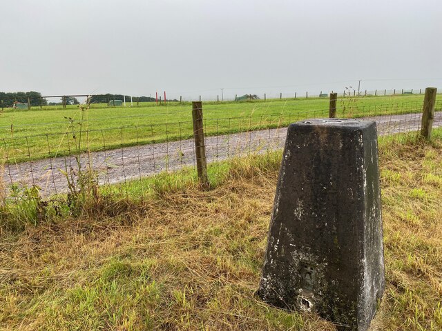
High Plantation offers numerous walking trails and paths that allow visitors to explore the forest at their own pace. These trails vary in difficulty, catering to both casual walkers and experienced hikers. The well-maintained paths provide a safe and enjoyable experience for all visitors.

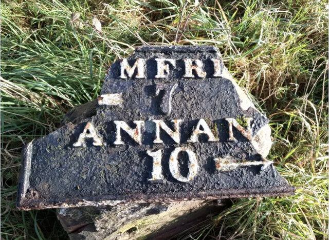
In addition to its natural wonders, High Plantation also boasts historical significance. It is believed that the forest has been present for centuries, with remnants of ancient structures and archaeological sites scattered throughout. These remnants offer glimpses into the rich history and cultural heritage of the area.

Overall, High Plantation in Dumfriesshire is a haven for nature lovers, offering a unique blend of natural beauty, wildlife, and historical significance. Whether one seeks a peaceful walk amidst lush greenery or an opportunity to delve into the region's past, this woodland is sure to captivate and inspire all who visit.

If you have any feedback on the listing, please let us know in the comments section below.

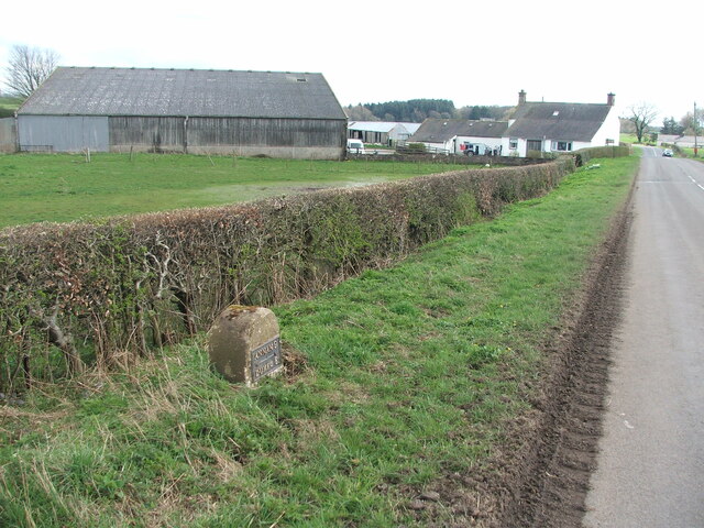
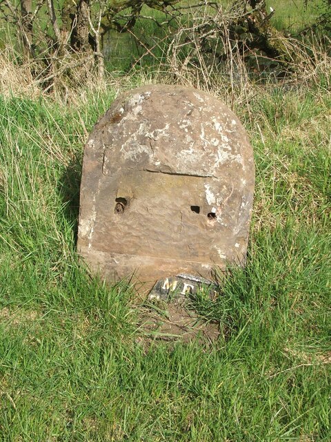
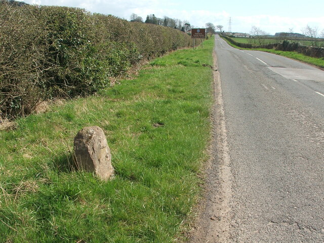
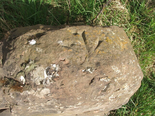
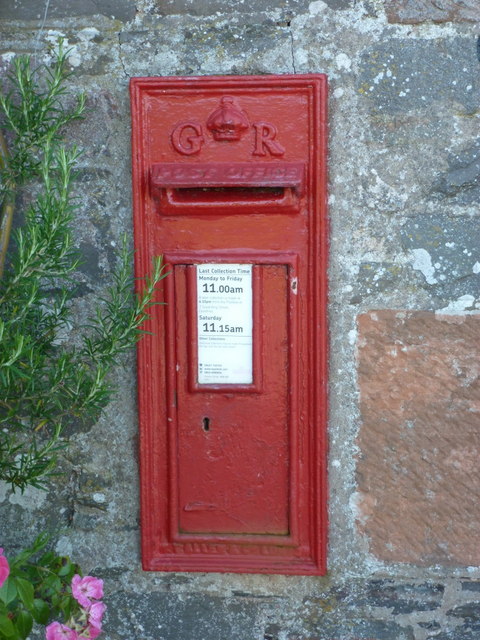
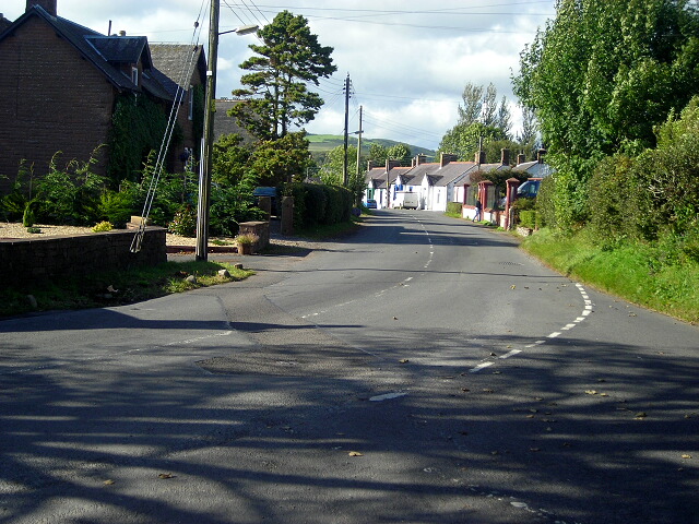
High Plantation Images

Images are sourced within 2km of 55.039492/-3.4426991 or Grid Reference NY0772. Thanks to Geograph Open Source API. All images are credited.

Mast and Trig Point Hetland Hill
Hetland Hill Trig Point Flush Bracket S9833
Hetland Garden Centre Hetland Garden Centre.
Hetland Garden Centre
Hetland Garden Centre.
Old milestone This milestone once had more white paint on the stone.  Although sunken in the verge it is fairly easy to spot just west of the lane that leads to Howthat.  The damage to the top left hand side was probably done many years ago.
Old milestone
This milestone once had more white paint on the stone. Although sunken in the verge it is fairly easy to spot just west of the lane that leads to Howthat. The damage to the top left hand side was probably done many years ago.
Old milestone A view of the 9 miles from Annan milestone with East Bowerhouse Farm in the distance.   Neatly rimmed hedges.
Old milestone
A view of the 9 miles from Annan milestone with East Bowerhouse Farm in the distance. Neatly rimmed hedges.
Old milestone The plate of the Annan 10 milestone has come adrift.   The top right hand corner of the plate was broken off long ago and now more is lost.   Travelling towards Annan the milestone is south of Mousewald just beyond a lane on the right to Townfoot.  It is near a little bridge and a small lay-by.   As the plate has recently come off, the way these plates were fixed to the stones is clearly shown.
Old milestone
The plate of the Annan 10 milestone has come adrift. The top right hand corner of the plate was broken off long ago and now more is lost. Travelling towards Annan the milestone is south of Mousewald just beyond a lane on the right to Townfoot. It is near a little bridge and a small lay-by. As the plate has recently come off, the way these plates were fixed to the stones is clearly shown.
Old milestone Looking south east in the direction of Annan.  The brown sign indicates the Galloway Tourist Route to Gretna Green.
Old milestone
Looking south east in the direction of Annan. The brown sign indicates the Galloway Tourist Route to Gretna Green.
Old milestone The Annan 10 milestone may have lost its plate and be quite eroded but there is clear cut benchmark on the top edge.
Old milestone
The Annan 10 milestone may have lost its plate and be quite eroded but there is clear cut benchmark on the top edge.
B724 towards Mouswald
B724 towards Clarencefield
Minor road towards Dalton
Road junction near Dalton
Old Milestone by the B724, south of Townfoot Bridge, Mouswald Stone post with metal plate by the B724, in parish of Mouswald (Annandale District), Townfoot, near a little bridge and small lay-by, East side of road. Plate broken.

Inscription reads:-
DUMFRI(ES)
{<-arrow} 7
ANNAN
10 {arrow->}
Carved bench mark and pivot on top.

Surveyed

Milestone Society National ID: DG_ANDF10
Old Milestone by the B724, south of Townfoot Bridge, Mouswald
Stone post with metal plate by the B724, in parish of Mouswald (Annandale District), Townfoot, near a little bridge and small lay-by, East side of road. Plate broken. Inscription reads:- DUMFRI(ES) {<-arrow} 7 ANNAN 10 {arrow->} Carved bench mark and pivot on top. Surveyed Milestone Society National ID: DG_ANDF10
Mouswald: old road-sign at Cleughbrae A pre-Worboys direction sign just off the A75. The bottom panel names Annan, to the right.
Mouswald: old road-sign at Cleughbrae
A pre-Worboys direction sign just off the A75. The bottom panel names Annan, to the right.
Mouswald: Mill Cottage A small cottage just off the main road at Cleughbrae, with a postbox set into the wall - see &lt;a href=&quot;https://www.geograph.org.uk/photo/2520123&quot;&gt;NY0673 : Mouswald: postbox № DG1 117, Cleughbrae&lt;/a&gt;.
Mouswald: Mill Cottage
A small cottage just off the main road at Cleughbrae, with a postbox set into the wall - see NY0673 : Mouswald: postbox № DG1 117, Cleughbrae.
Mouswald: postbox &#8470; DG1 117, Cleughbrae A George V-reign postbox set into the wall of &lt;a href=&quot;https://www.geograph.org.uk/photo/2520118&quot;&gt;NY0673 : Mouswald: Mill Cottage&lt;/a&gt;, emptied finally at 11am on weekdays and fifteen minutes later on Saturdays.
Mouswald: postbox № DG1 117, Cleughbrae
A George V-reign postbox set into the wall of NY0673 : Mouswald: Mill Cottage, emptied finally at 11am on weekdays and fifteen minutes later on Saturdays.
High Plantation View along this small farm track that leads to Panteth-hill. The plantation is left of picture.
High Plantation
View along this small farm track that leads to Panteth-hill. The plantation is left of picture.
Show me another place!

High Plantation is located at Grid Ref: NY0772 (Lat: 55.039492, Lng: -3.4426991)

Unitary Authority: Dumfries and Galloway

Police Authority: Dumfries and Galloway

What 3 Words

///fonts.hosts.motored. Near Lochmaben, Dumfries & Galloway

Related Wikis

Mouswald

Mouswald is a rural village slightly east of Dumfries in south-west Scotland. It lies on the B724 south of the A75. The site views southward over the Solway...

Carrutherstown

Carrutherstown is a village in the civil parish of Dalton, in Dumfries and Galloway, Scotland. It is about 9 miles (14 km) east of Dumfries. == Demographics... ==

Ruthwell railway station

Ruthwell railway station was a railway station in Dumfries and Galloway south of Dumfries, serving the village of Ruthwell with its famous 8th century...

Comlongon Castle

Comlongon Castle is a tower house dating from the later 15th century or early 16th century. It is located 1 kilometre (0.62 mi) west of the village of...

Rockhall Tower

Rockhall Tower, also known as Rockhall House or Rockhall Tower House, is a 16th-century tower house in Collin, Dumfries and Galloway. The castle originally...

Dalton, Dumfries and Galloway

The village of Dalton is a small settlement about 10 miles (16 km) southeast of Dumfries and 4 miles (6.4 km) south of Lockerbie, in Dumfries and Galloway...

Clarencefield

Clarencefield is a small village in Ruthwell Parish between Dumfries and Annan in Dumfries and Galloway, Scotland. It was once served by Ruthwell railway...

Racks railway station

Racks railway station was a railway station in Dumfries and Galloway, Scotland, south of Dumfries, OS NGR NY 033 743, serving and effectively creating...

Nearby Amenities

Located within 500m of 55.039492,-3.4426991
Bus Stop
Byeloch
Naptan AtcoCode: 680000521333
Naptan Bearing: NW
Naptan BusStopType: CUS
Naptan CommonName: Byeloch
Naptan Indicator: opp Farm
Naptan Landmark: Byeloch
Naptan NaptanCode: 34237635
Naptan Notes: none
Naptan Street: A75
Naptan Verified: no
Source: naptan_import
Lat/Long: 55.0431657/-3.4463925
Bus Stop
Byeloch
Naptan AtcoCode: 680000521444
Naptan Bearing: SE
Naptan BusStopType: CUS
Naptan CommonName: Byeloch
Naptan Indicator: Farm
Naptan Landmark: Byeloch
Naptan NaptanCode: 34237634
Naptan Notes: none
Naptan Street: A75
Naptan Verified: no
Source: naptan_import
Lat/Long: 55.0432214/-3.446238
Parking
Source: survey
Lat/Long: 55.0383894/-3.4358357
Power: pole
Lat/Long: 55.0431274/-3.4385939
Power: pole
Lat/Long: 55.0432558/-3.4396707
Power: pole
Lat/Long: 55.0434152/-3.440817
Power: pole
Lat/Long: 55.0436071/-3.4423651
Power: pole
Lat/Long: 55.0438049/-3.4438978
Power: pole
Lat/Long: 55.0424293/-3.4379551
Power: pole
Lat/Long: 55.041712/-3.4387691
Power: pole
Lat/Long: 55.0410404/-3.4395187
The data included in this document is from www.openstreetmap.org. The data is made available under ODbL.

Have you been to High Plantation?

Leave your review of High Plantation below (or comments, questions and feedback).