Smiddy Hill Clumps
Wood, Forest in West Lothian
Scotland
Smiddy Hill Clumps
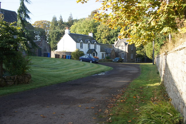
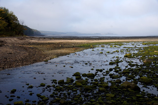
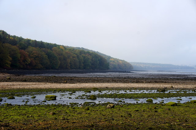
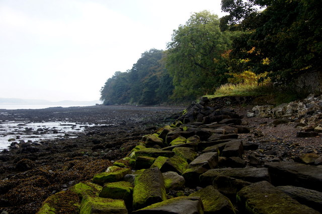
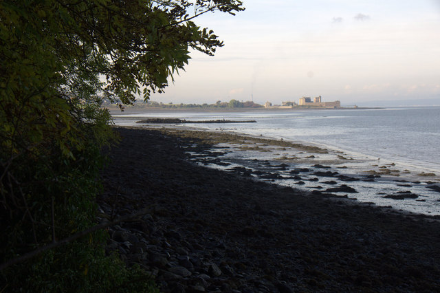
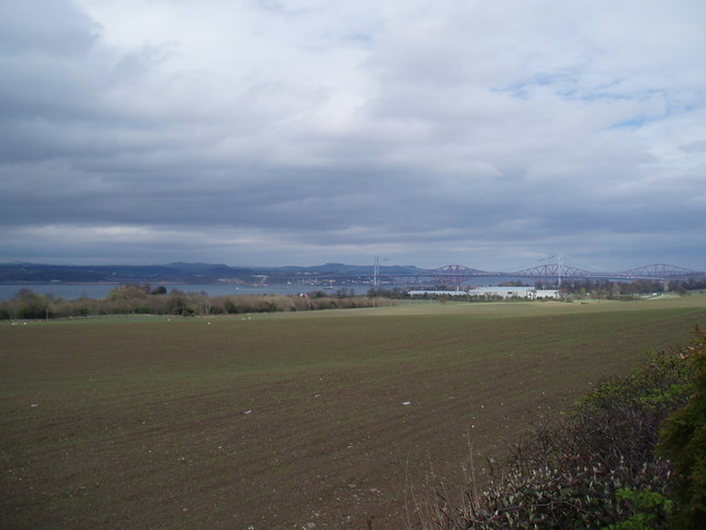
Smiddy Hill Clumps is a woodland area located in West Lothian, Scotland. Situated near the town of Livingston, it covers an approximate area of 14 hectares. This woodland is known for its beautiful and diverse ecosystem, making it a popular spot for nature enthusiasts and hikers.
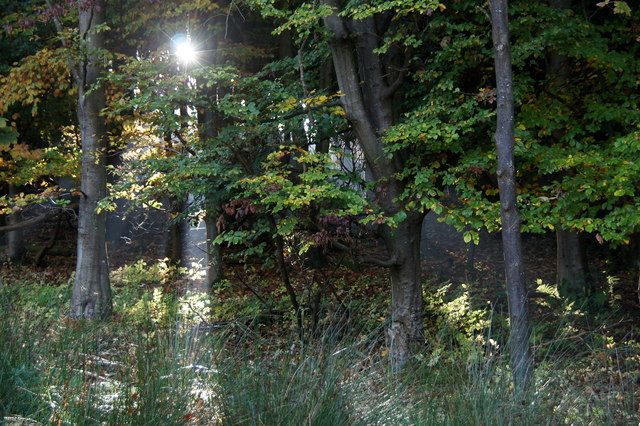
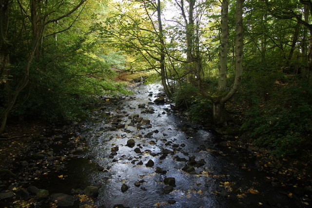
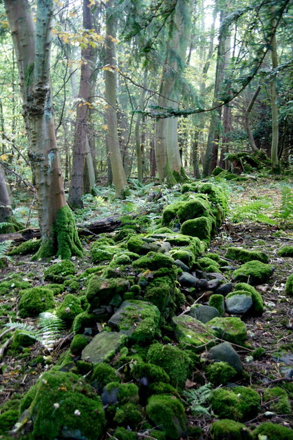
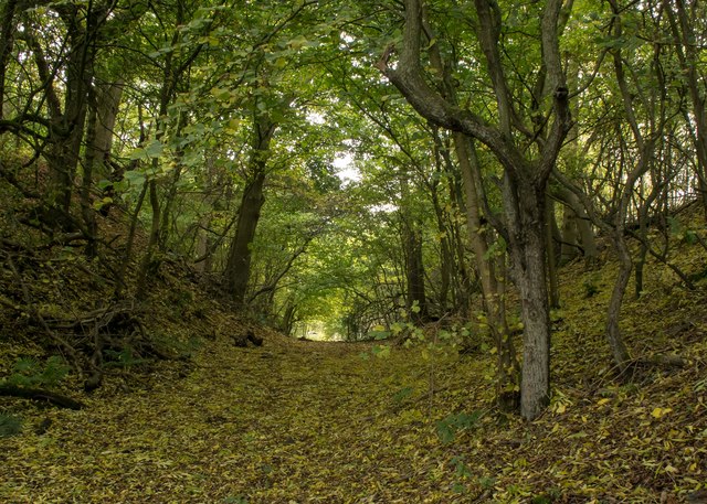
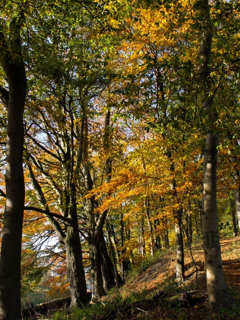
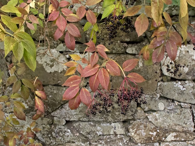
The clumps consist of a mixture of broadleaf and coniferous trees, including oak, birch, beech, pine, and spruce. The varied tree species provide a rich habitat for numerous wildlife species, such as red squirrels, roe deer, and a variety of bird species.
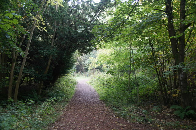
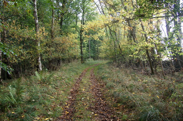
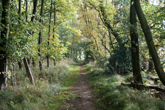
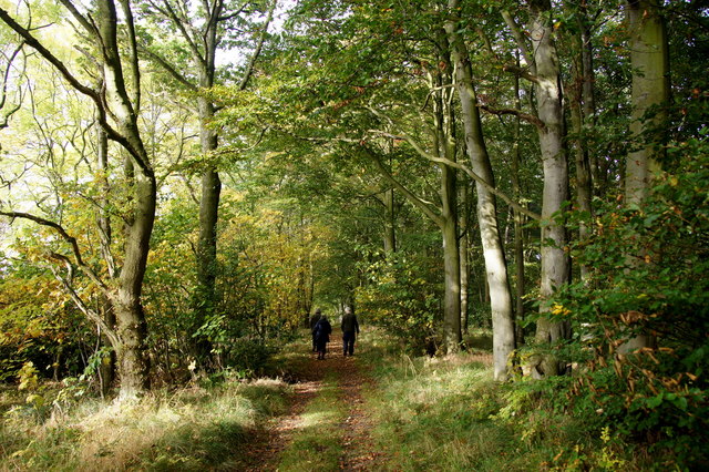
The woodland also features a network of well-maintained trails, allowing visitors to explore the area and enjoy the serene atmosphere. The trails wind their way through the clumps, offering picturesque views and opportunities for wildlife spotting.
Smiddy Hill Clumps is managed by the local conservation authority, which ensures the preservation of the woodland's natural beauty and biodiversity. The management practices include selective tree thinning and the creation of open glades to encourage the growth of native plants and provide additional habitats for wildlife.
Due to its accessibility and proximity to urban areas, Smiddy Hill Clumps is a popular destination for both locals and tourists seeking a peaceful retreat or a refreshing walk in nature. The woodland offers a tranquil escape from the bustling city life, providing a chance to reconnect with nature and appreciate the beauty of West Lothian's natural landscapes.
If you have any feedback on the listing, please let us know in the comments section below.
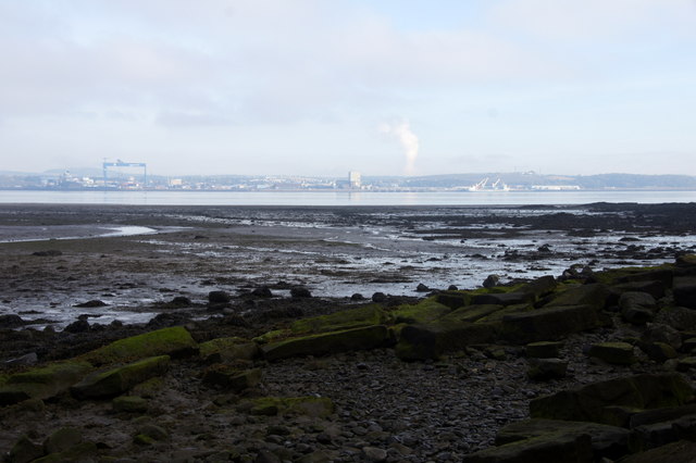
Smiddy Hill Clumps Images
Images are sourced within 2km of 55.987384/-3.4778541 or Grid Reference NT0778. Thanks to Geograph Open Source API. All images are credited.

Smiddy Hill Clumps is located at Grid Ref: NT0778 (Lat: 55.987384, Lng: -3.4778541)
Unitary Authority: West Lothian
Police Authority: The Lothians and Scottish Borders
What 3 Words
///earliest.ambitions.cities. Near Winchburgh, West Lothian
Nearby Locations
Related Wikis
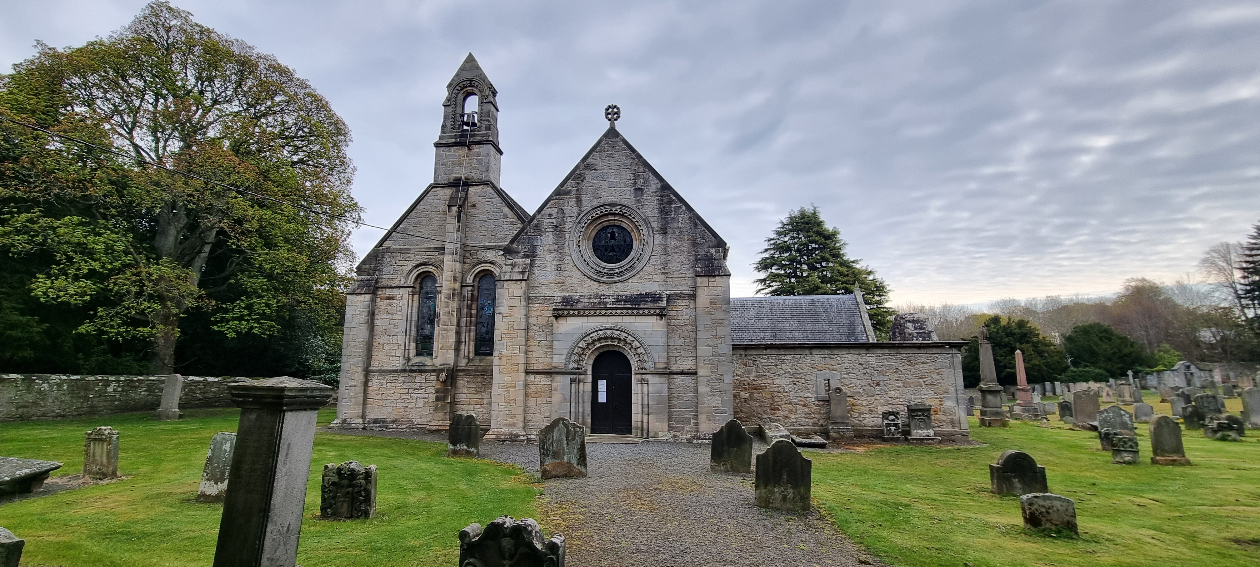
Abercorn
Abercorn (Gaelic: Obar Chùirnidh, Old English: Æbbercurnig) is a village and civil parish in West Lothian, Scotland. Close to the south coast of the Firth...
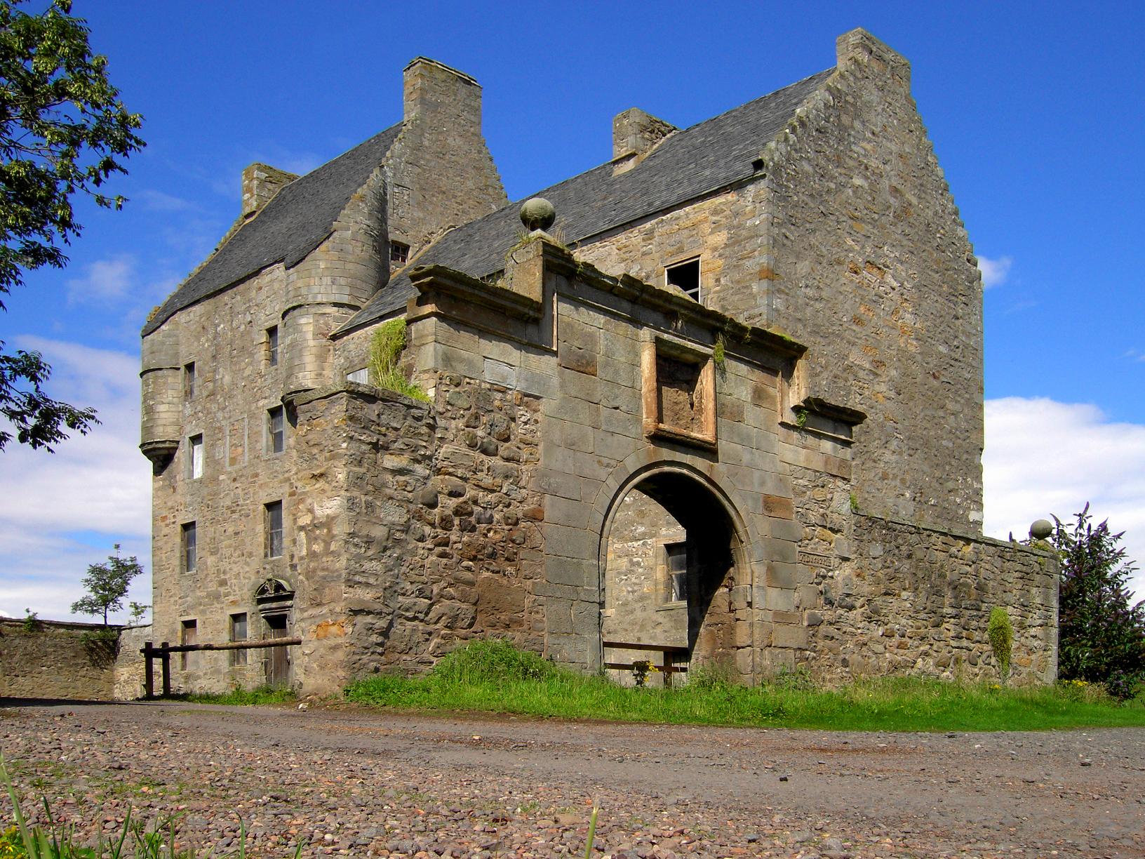
Midhope Castle
Midhope Castle is a 15th-century tower house in Scotland. It is situated in the hamlet of Abercorn on the Hopetoun estate, About 4 kilometres (2.5 mi)...

Abercorn Castle
Abercorn Castle was a 12th-century castle near Abercorn in West Lothian, Scotland. == History == The castle was in the possession of William de Avenel...

Hopetoun House
Hopetoun House is a country house near South Queensferry owned by the Hopetoun House Preservation Trust, a charity established in 1974 to preserve the...

Newton, West Lothian
Newton or (The Newton) is a small village in the county of West Lothian, Scotland. It lies on the A904 trunk road 2.6 miles (4.2 km) west of South Queensferry...

Winchburgh rail crash
The Winchburgh rail crash was a multi-train rail crash that occurred on Monday 13 October 1862, 1+1⁄2 miles (2.4 km) northwest of Winchburgh in Linlithgowshire...

Duntarvie Castle
Duntarvie Castle is a ruined Scots Renaissance house in West Lothian, Scotland. It is located 1.5 kilometres (0.93 mi) north of Winchburgh and 9 kilometres...
Philpstoun railway station
Philpstoun railway station was a railway station in the village of Philpstoun, to the east of Linlithgow in West Lothian, Scotland. It was located on the...
Nearby Amenities
Located within 500m of 55.987384,-3.4778541Have you been to Smiddy Hill Clumps?
Leave your review of Smiddy Hill Clumps below (or comments, questions and feedback).