Low Plantation

Wood, Forest in Dumfriesshire

Scotland

Low Plantation

Mast and Trig Point Hetland Hill
Mast and Trig Point Hetland Hill Credit: thejackrustles

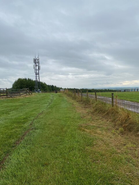
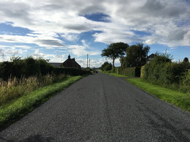
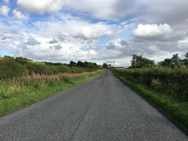
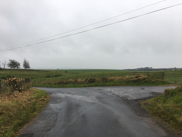
Low Plantation is a picturesque forest located in Dumfriesshire, Scotland. Covering an area of approximately 300 acres, this woodland is a haven for nature enthusiasts and outdoor lovers. The forest is predominantly made up of native Scottish trees such as oak, birch, and pine, creating a diverse and vibrant ecosystem.

Visitors to Low Plantation can enjoy a network of walking trails that wind through the trees, offering stunning views of the surrounding countryside. The forest is home to a variety of wildlife, including deer, red squirrels, and a wide range of bird species, making it a popular spot for birdwatching and wildlife photography.

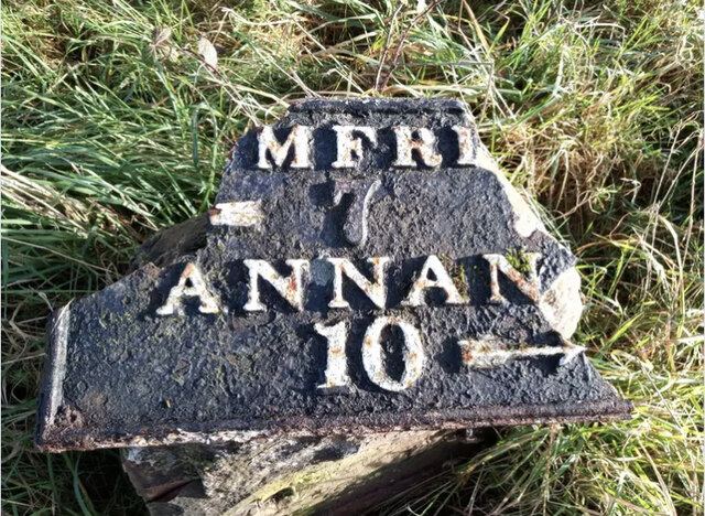
In addition to its natural beauty, Low Plantation also has a rich history. The area has been used for timber production for centuries, and remnants of old sawmills and logging camps can still be found scattered throughout the forest.

Whether you're looking for a peaceful stroll through the woods, a chance to spot some wildlife, or a glimpse into the region's past, Low Plantation offers something for everyone to enjoy.

If you have any feedback on the listing, please let us know in the comments section below.

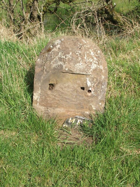
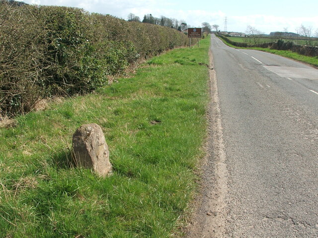
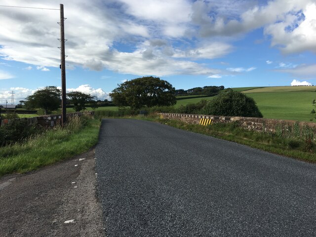
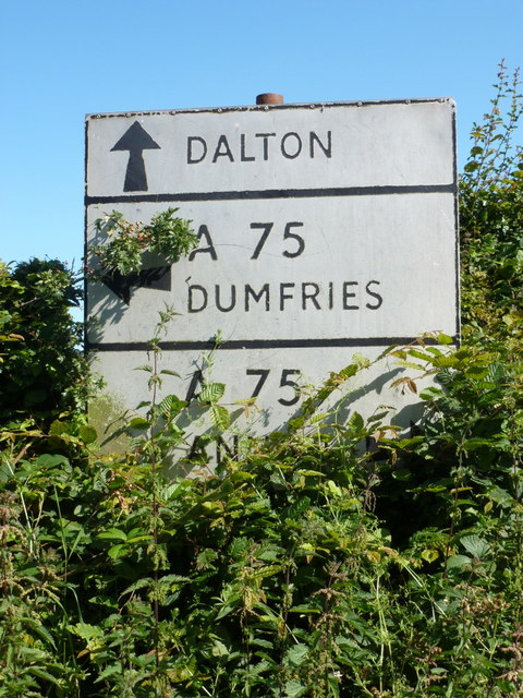
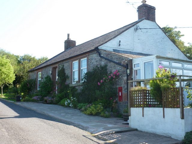
Low Plantation Images

Images are sourced within 2km of 55.0372/-3.4502532 or Grid Reference NY0772. Thanks to Geograph Open Source API. All images are credited.

Mast and Trig Point Hetland Hill
Hetland Hill Trig Point Flush Bracket S9833
Old milestone This milestone once had more white paint on the stone.  Although sunken in the verge it is fairly easy to spot just west of the lane that leads to Howthat.  The damage to the top left hand side was probably done many years ago.
Old milestone
This milestone once had more white paint on the stone. Although sunken in the verge it is fairly easy to spot just west of the lane that leads to Howthat. The damage to the top left hand side was probably done many years ago.
Old milestone A view of the 9 miles from Annan milestone with East Bowerhouse Farm in the distance.   Neatly rimmed hedges.
Old milestone
A view of the 9 miles from Annan milestone with East Bowerhouse Farm in the distance. Neatly rimmed hedges.
Old milestone The plate of the Annan 10 milestone has come adrift.   The top right hand corner of the plate was broken off long ago and now more is lost.   Travelling towards Annan the milestone is south of Mousewald just beyond a lane on the right to Townfoot.  It is near a little bridge and a small lay-by.   As the plate has recently come off, the way these plates were fixed to the stones is clearly shown.
Old milestone
The plate of the Annan 10 milestone has come adrift. The top right hand corner of the plate was broken off long ago and now more is lost. Travelling towards Annan the milestone is south of Mousewald just beyond a lane on the right to Townfoot. It is near a little bridge and a small lay-by. As the plate has recently come off, the way these plates were fixed to the stones is clearly shown.
Old milestone Looking south east in the direction of Annan.  The brown sign indicates the Galloway Tourist Route to Gretna Green.
Old milestone
Looking south east in the direction of Annan. The brown sign indicates the Galloway Tourist Route to Gretna Green.
Old milestone The Annan 10 milestone may have lost its plate and be quite eroded but there is clear cut benchmark on the top edge.
Old milestone
The Annan 10 milestone may have lost its plate and be quite eroded but there is clear cut benchmark on the top edge.
Old milestone A sad end to the 11 miles from Annan milestone just north west of Burnhill and Mouswald school.   The base of the stone is still in the ground but not all the broken pieces or plate are on the verge.  There is a cut bench mark on the front top which is the white painted section on the right of the photograph.
Old milestone
A sad end to the 11 miles from Annan milestone just north west of Burnhill and Mouswald school. The base of the stone is still in the ground but not all the broken pieces or plate are on the verge. There is a cut bench mark on the front top which is the white painted section on the right of the photograph.
Old milestone The position of the broken pieces of milestone Annan 11 with Burnhill in the distance.
Old milestone
The position of the broken pieces of milestone Annan 11 with Burnhill in the distance.
Old milestone Looking towards Mouswald Grange.    Another view of the sad demise of Dumfries 6 Annan 11.
Old milestone
Looking towards Mouswald Grange. Another view of the sad demise of Dumfries 6 Annan 11.
B724 towards Mouswald
B724 towards Clarencefield
Road junction near Dalton
Old Milestone by the B724, south of Townfoot Bridge, Mouswald Stone post with metal plate by the B724, in parish of Mouswald (Annandale District), Townfoot, near a little bridge and small lay-by, East side of road. Plate broken.

Inscription reads:-
DUMFRI(ES)
{<-arrow} 7
ANNAN
10 {arrow->}
Carved bench mark and pivot on top.

Surveyed

Milestone Society National ID: DG_ANDF10
Old Milestone by the B724, south of Townfoot Bridge, Mouswald
Stone post with metal plate by the B724, in parish of Mouswald (Annandale District), Townfoot, near a little bridge and small lay-by, East side of road. Plate broken. Inscription reads:- DUMFRI(ES) {<-arrow} 7 ANNAN 10 {arrow->} Carved bench mark and pivot on top. Surveyed Milestone Society National ID: DG_ANDF10
Mouswald: old road-sign at Cleughbrae A pre-Worboys direction sign just off the A75. The bottom panel names Annan, to the right.
Mouswald: old road-sign at Cleughbrae
A pre-Worboys direction sign just off the A75. The bottom panel names Annan, to the right.
Mouswald: Mill Cottage A small cottage just off the main road at Cleughbrae, with a postbox set into the wall - see &lt;a href=&quot;https://www.geograph.org.uk/photo/2520123&quot;&gt;NY0673 : Mouswald: postbox № DG1 117, Cleughbrae&lt;/a&gt;.
Mouswald: Mill Cottage
A small cottage just off the main road at Cleughbrae, with a postbox set into the wall - see NY0673 : Mouswald: postbox № DG1 117, Cleughbrae.
Mouswald: postbox &#8470; DG1 117, Cleughbrae A George V-reign postbox set into the wall of &lt;a href=&quot;https://www.geograph.org.uk/photo/2520118&quot;&gt;NY0673 : Mouswald: Mill Cottage&lt;/a&gt;, emptied finally at 11am on weekdays and fifteen minutes later on Saturdays.
Mouswald: postbox № DG1 117, Cleughbrae
A George V-reign postbox set into the wall of NY0673 : Mouswald: Mill Cottage, emptied finally at 11am on weekdays and fifteen minutes later on Saturdays.
Show me another place!

Low Plantation is located at Grid Ref: NY0772 (Lat: 55.0372, Lng: -3.4502532)

Unitary Authority: Dumfries and Galloway

Police Authority: Dumfries and Galloway

What 3 Words

///icons.shredding.locating. Near Lochmaben, Dumfries & Galloway

Related Wikis

Mouswald

Mouswald is a rural village slightly east of Dumfries in south-west Scotland. It lies on the B724 south of the A75. The site views southward over the Solway...

Carrutherstown

Carrutherstown is a village in the civil parish of Dalton, in Dumfries and Galloway, Scotland. It is about 9 miles (14 km) east of Dumfries. == Demographics... ==

Ruthwell railway station

Ruthwell railway station was a railway station in Dumfries and Galloway south of Dumfries, serving the village of Ruthwell with its famous 8th century...

Comlongon Castle

Comlongon Castle is a tower house dating from the later 15th century or early 16th century. It is located 1 kilometre (0.62 mi) west of the village of...

Nearby Amenities

Located within 500m of 55.0372,-3.4502532
Power: pole
Lat/Long: 55.0398803/-3.4563938
Power: pole
Lat/Long: 55.0394064/-3.4554329
Power: pole
Lat/Long: 55.0386935/-3.4549281
Power: pole
Lat/Long: 55.0379673/-3.4543742
Power: pole
Lat/Long: 55.0372454/-3.4538178
Power: pole
Lat/Long: 55.0365221/-3.4532897
Power: pole
Lat/Long: 55.0357958/-3.4527359
Power: pole
Lat/Long: 55.0350725/-3.4521821
Power: pole
Lat/Long: 55.0343551/-3.4516695
Power: pole
Lat/Long: 55.0336287/-3.4511182
Power: pole
Lat/Long: 55.032898/-3.4505901
The data included in this document is from www.openstreetmap.org. The data is made available under ODbL.

Have you been to Low Plantation?

Leave your review of Low Plantation below (or comments, questions and feedback).