Greystonerig Strip
Wood, Forest in Dumfriesshire
Scotland
Greystonerig Strip
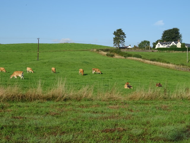
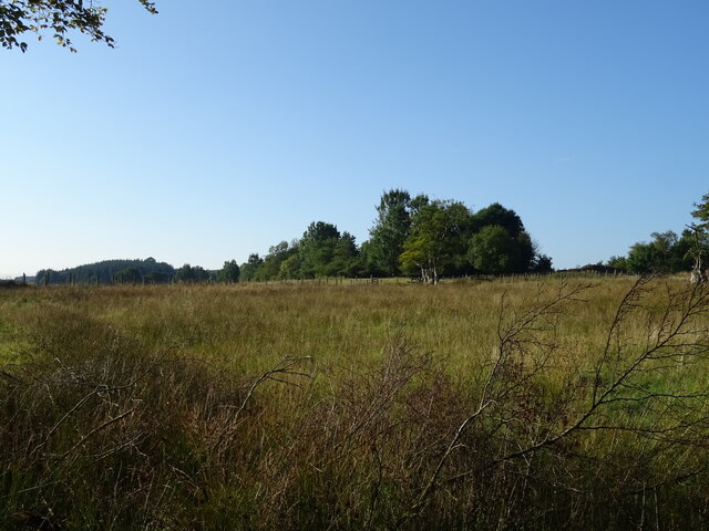
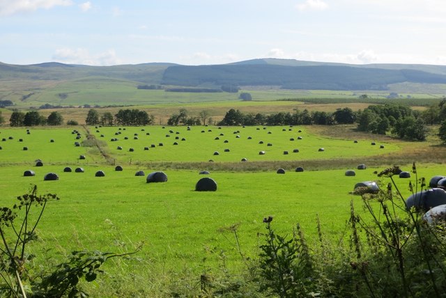
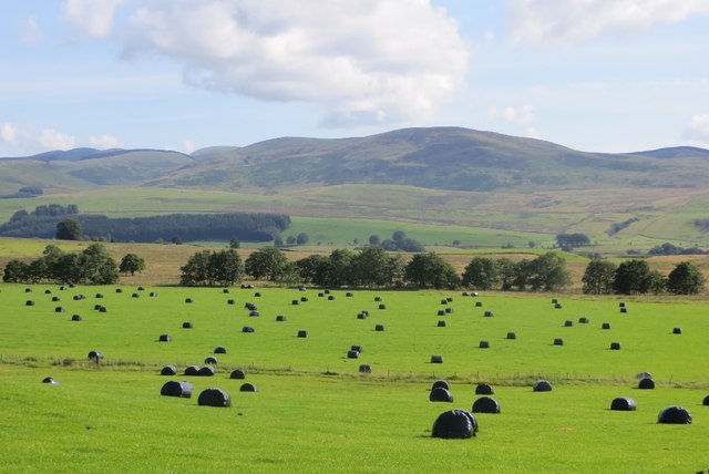
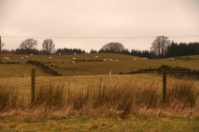
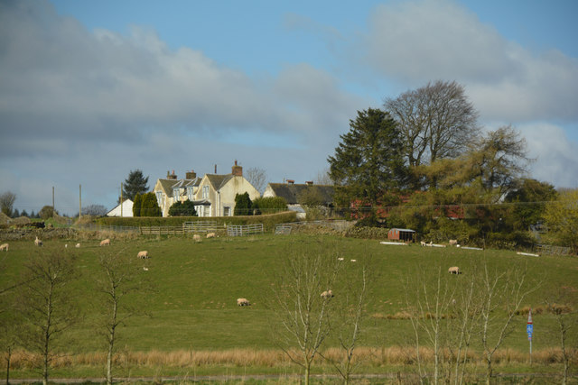
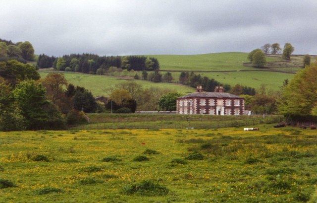
Greystonerig Strip is a picturesque woodland area located in Dumfriesshire, Scotland. Spread across a vast expanse, this woodland is known for its stunning beauty and diverse flora and fauna. The strip is situated near the small village of Greystonerig, which adds to its tranquil and rural ambiance.
The woodland itself is predominantly composed of a mix of deciduous and coniferous trees, creating a rich and varied ecosystem. Ancient oaks, birches, and beeches stand tall, their leafy branches forming a dense canopy overhead. This canopy not only provides shade but also offers a habitat for a wide range of bird species, including woodpeckers, owls, and songbirds.
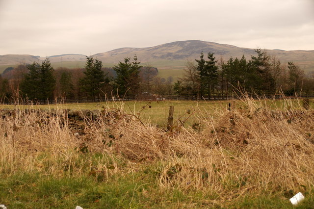
Walking through Greystonerig Strip, visitors are treated to a serene and peaceful atmosphere. The forest floor is covered with a thick layer of moss, ferns, and wildflowers, adding pops of color to the lush green surroundings. As one ventures deeper into the woods, they may encounter small streams and brooks, adding to the enchanting charm of the area.
The strip is also home to various wildlife species, such as deer, foxes, and rabbits, which can be spotted if one is lucky. Nature enthusiasts and photographers are drawn to this woodland for its abundant wildlife and the opportunity to capture breathtaking images.
Greystonerig Strip is a beloved destination for hikers and nature lovers alike, offering a chance to escape the hustle and bustle of city life and immerse oneself in the tranquility of the Scottish countryside.
If you have any feedback on the listing, please let us know in the comments section below.
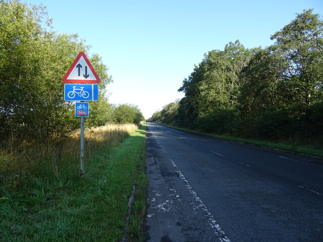
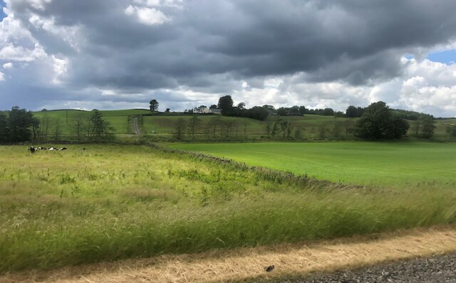
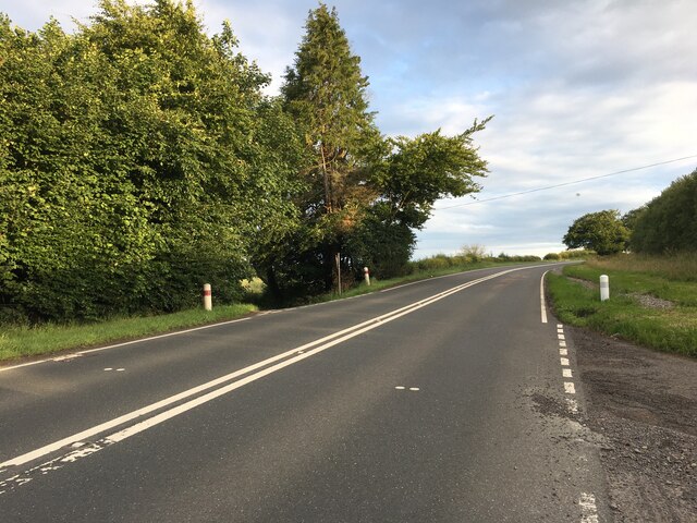
Greystonerig Strip Images
Images are sourced within 2km of 55.270799/-3.4508383 or Grid Reference NY0798. Thanks to Geograph Open Source API. All images are credited.
![Gas Distribution Station at Beattock An aerial view. In front are the Beattock-Dumfries [A701] and Beattock-Lochmaben [B7020] roads. Beyond are the A74(M) and B7076 running parallel.](https://s0.geograph.org.uk/geophotos/04/68/65/4686524_7357068f.jpg)

Greystonerig Strip is located at Grid Ref: NY0798 (Lat: 55.270799, Lng: -3.4508383)
Unitary Authority: Dumfries and Galloway
Police Authority: Dumfries and Galloway
What 3 Words
///deranged.sailed.earful. Near Beattock, Dumfries & Galloway
Nearby Locations
Related Wikis

Lochwood Tower
Lochwood Tower, also known as Lochwood Castle, is a ruined 16th-century L-plan tower house situated in Annandale (Valley of the River Annan) about 6 miles...

Kirkpatrick-Juxta
Kirkpatrick-Juxta is a parish in Dumfries and Galloway on the A701, between Biggar, Moffat and Lockerbie. The parish straddles the main road A74 (M). It...

Beattock railway station
Beattock railway station was a station which served the village of Beattock, in the parish of Kirkpatrick-Juxta in the Scottish county of Dumfries and...
Beattock
Beattock is a village in Dumfries and Galloway, Scotland, approximately 1⁄2 mile (800 metres) southwest of Moffat and 19 miles (31 kilometres) north of...

Wamphray railway station
Wamphray railway station served Newton Wamphray, near Beattock, in the Scottish county of Dumfries and Galloway. It was served by local trains on what...

Newton Wamphray
Newton Wamphray is a village in Dumfries and Galloway. Wamphray is the name of the surrounding parish and of the Wamphray Water, which flows south-west...

Auchencastle railway station
Auchencastle railway station was a private station which served Auchencastle, near Beattock, in the Scottish county of Dumfries and Galloway. It was used...

Annandale Water services
Annandale Water services is a motorway service station in the village of Johnstonebridge, Scotland. The service station is located next to the A74(M) motorway...
Nearby Amenities
Located within 500m of 55.270799,-3.4508383Have you been to Greystonerig Strip?
Leave your review of Greystonerig Strip below (or comments, questions and feedback).