Biggarts Moss

Wood, Forest in Dumfriesshire

Scotland

Biggarts Moss

Cattle grazing, Newfarm
Cattle grazing, Newfarm Credit: JThomas

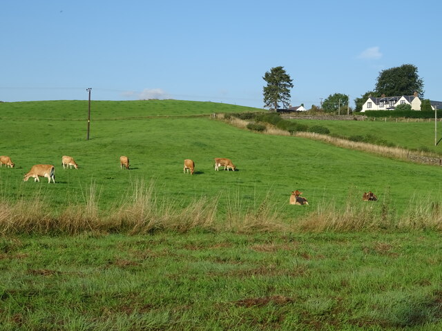
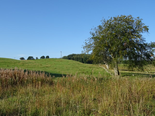
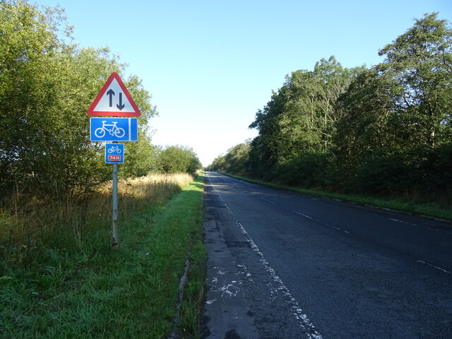
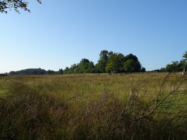
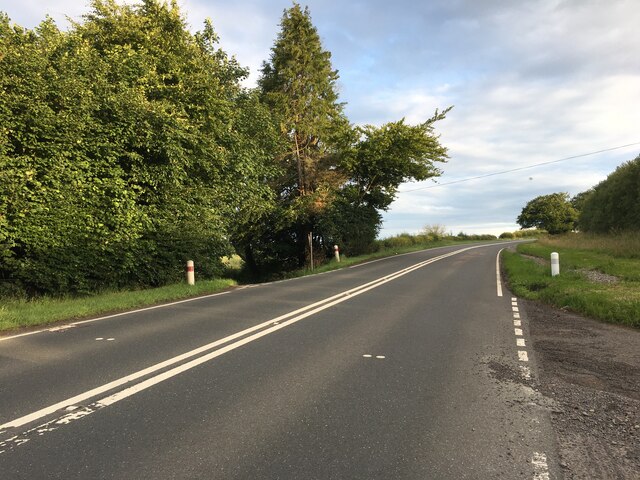
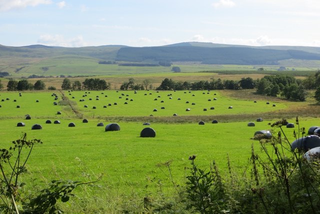
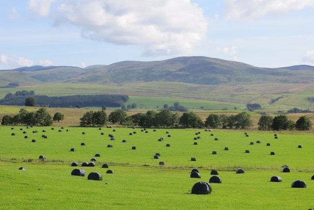
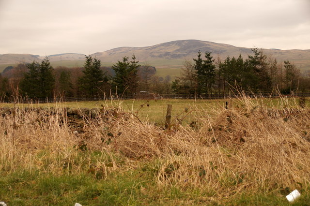
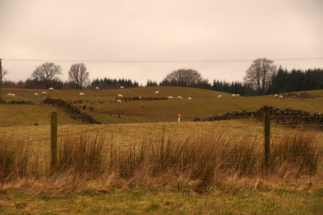
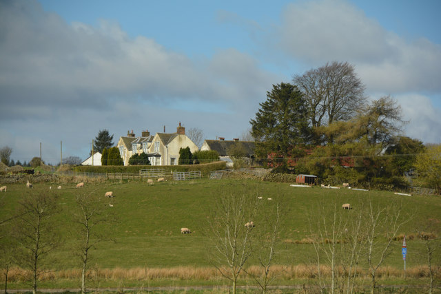
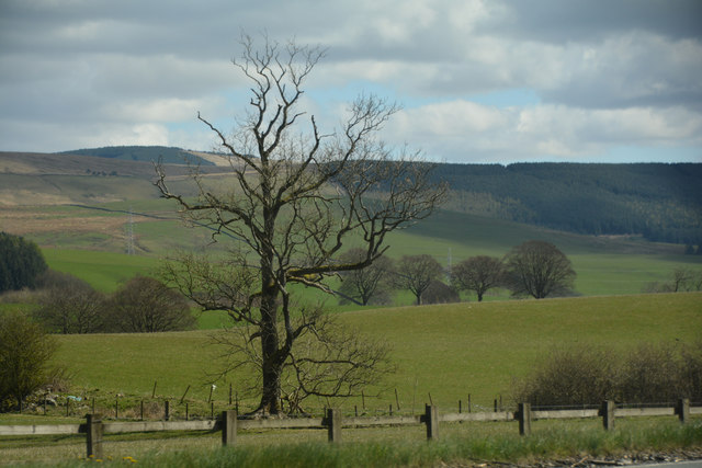
Biggarts Moss is a forest located in Dumfriesshire, Scotland. Covering an area of approximately 600 hectares, the moss is characterized by its diverse range of flora and fauna. The forest is predominantly composed of native Scots pine trees, as well as birch, oak, and rowan trees.

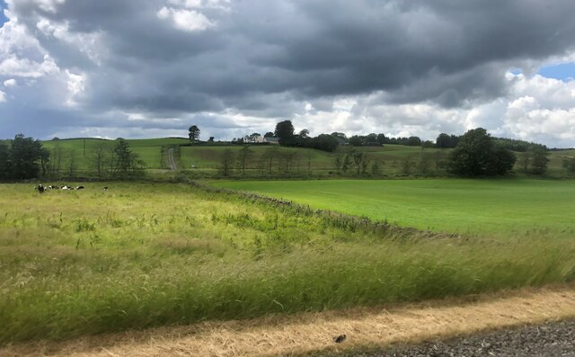
Biggarts Moss is home to a variety of wildlife, including red squirrels, roe deer, and numerous bird species such as woodpeckers and redstarts. The forest provides a habitat for these animals to thrive in a natural setting.

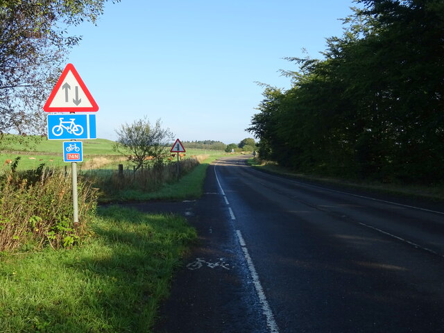
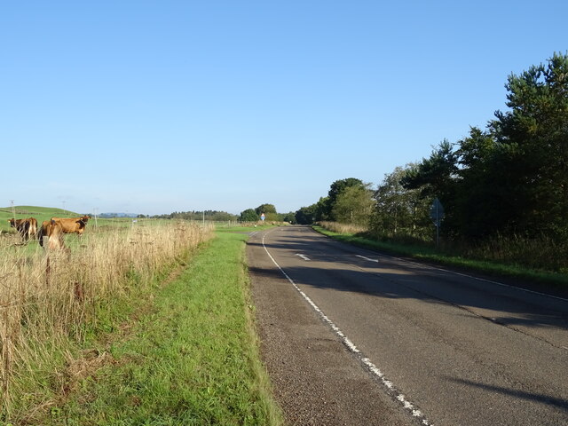
Visitors to Biggarts Moss can enjoy a network of walking trails that wind through the forest, allowing for peaceful strolls and opportunities to observe the local wildlife. The moss also features a picnic area, making it a great spot for a day out in nature.

Overall, Biggarts Moss is a beautiful and tranquil forest that offers a slice of wilderness in the heart of Dumfriesshire. Its rich biodiversity and peaceful atmosphere make it a popular destination for nature lovers and outdoor enthusiasts alike.

If you have any feedback on the listing, please let us know in the comments section below.

Biggarts Moss Images

Images are sourced within 2km of 55.274349/-3.4515974 or Grid Reference NY0798. Thanks to Geograph Open Source API. All images are credited.
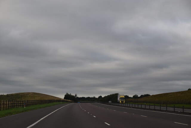
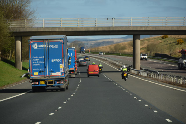
Cattle grazing, Newfarm
National Cycle Route 74 towards Beattock B7076 heading north.
National Cycle Route 74 towards Beattock
B7076 heading north.
B7076, Newfarm Towards Beattock.
B7076, Newfarm
Towards Beattock.
Hillside grazing, Mid Murthat
National Cycle Route 74 towards Beattock On the B7076.
National Cycle Route 74 towards Beattock
On the B7076.
Grassland, Buck Rigg
Newfarm on Blackrig Hill Under an ominous sky
Newfarm on Blackrig Hill
Under an ominous sky
A701 towards Dumfries
A74(M), southbound The A74(M) & M74  run over 80 miles from the M6 at the Scottish border near Gretna to the M8 at Glasgow. This is one of the two most important routeways into Scotland from the south. The last stretch of the M74 opened in 2011 (see <a title="https://www.geograph.org.uk/snippet/590" href="https://www.geograph.org.uk/snippet/590">Link</a> ).
Wikipedia: <span class="nowrap"><a title="http://en.wikipedia.org/wiki/A74(M)_and_M74_motorways" rel="nofollow ugc noopener" href="http://en.wikipedia.org/wiki/A74(M)_and_M74_motorways">Link</a><img style="margin-left:2px;" alt="External link" title="External link - shift click to open in new window" src="https://s1.geograph.org.uk/img/external.png" width="10" height="10"/></span>
A74(M), southbound
The A74(M) & M74 run over 80 miles from the M6 at the Scottish border near Gretna to the M8 at Glasgow. This is one of the two most important routeways into Scotland from the south. The last stretch of the M74 opened in 2011 (see Link ). Wikipedia: LinkExternal link
Gas Distribution Station at Beattock An aerial view. In front are the Beattock-Dumfries [A701] and Beattock-Lochmaben [B7020] roads. Beyond are the A74(M) and B7076 running parallel.
Gas Distribution Station at Beattock
An aerial view. In front are the Beattock-Dumfries [A701] and Beattock-Lochmaben [B7020] roads. Beyond are the A74(M) and B7076 running parallel.
Fields, Stockholm A bit duller than its namesake, silage bales in Annandale.
Fields, Stockholm
A bit duller than its namesake, silage bales in Annandale.
Stockholm, Annandale Silage bales and a view across a wide plain towards the resumption of the Southern Uplands.
Stockholm, Annandale
Silage bales and a view across a wide plain towards the resumption of the Southern Uplands.
Fields south of Beattock Looking across the A74(M) towards Craig Hill.
Fields south of Beattock
Looking across the A74(M) towards Craig Hill.
Fields south of Beattock
Dumfries and Galloway : Grassy Field A grassy field and Newfarm seen in Dumfries and Galloway.
Dumfries and Galloway : Grassy Field
A grassy field and Newfarm seen in Dumfries and Galloway.
Dumfries and Galloway : The A74(M) Motorway Heading along the A74(M) through Dumfries and Galloway.
Dumfries and Galloway : The A74(M) Motorway
Heading along the A74(M) through Dumfries and Galloway.
Dumfries And Galloway : Countryside Scenery Looking out across the grassy countryside.
Dumfries And Galloway : Countryside Scenery
Looking out across the grassy countryside.
Dumfries And Galloway : The A74(M) Looking along the A74(M).
Dumfries And Galloway : The A74(M)
Looking along the A74(M).
Show me another place!

Biggarts Moss is located at Grid Ref: NY0798 (Lat: 55.274349, Lng: -3.4515974)

Unitary Authority: Dumfries and Galloway

Police Authority: Dumfries and Galloway

What 3 Words

///probably.peach.match. Near Beattock, Dumfries & Galloway

Related Wikis

Lochwood Tower

Lochwood Tower, also known as Lochwood Castle, is a ruined 16th-century L-plan tower house situated in Annandale (Valley of the River Annan) about 6 miles...

Kirkpatrick-Juxta

Kirkpatrick-Juxta is a parish in Dumfries and Galloway on the A701, between Biggar, Moffat and Lockerbie. The parish straddles the main road A74 (M). It...

Beattock railway station

Beattock railway station was a station which served the village of Beattock, in the parish of Kirkpatrick-Juxta in the Scottish county of Dumfries and...

Beattock

Beattock is a village in Dumfries and Galloway, Scotland, approximately 1⁄2 mile (800 metres) southwest of Moffat and 19 miles (31 kilometres) north of...

Nearby Amenities

Located within 500m of 55.274349,-3.4515974
The data included in this document is from www.openstreetmap.org. The data is made available under ODbL.

Have you been to Biggarts Moss?

Leave your review of Biggarts Moss below (or comments, questions and feedback).