Altskeith

Settlement in Perthshire

Scotland

Altskeith

Eilean Gorm island bothy, Loch Ard, The Trossachs A bothy upon a lake island- visits and stays are allowed.
Eilean Gorm island bothy, Loch Ard, The Trossachs Credit: Kim McGillivray

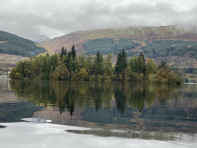
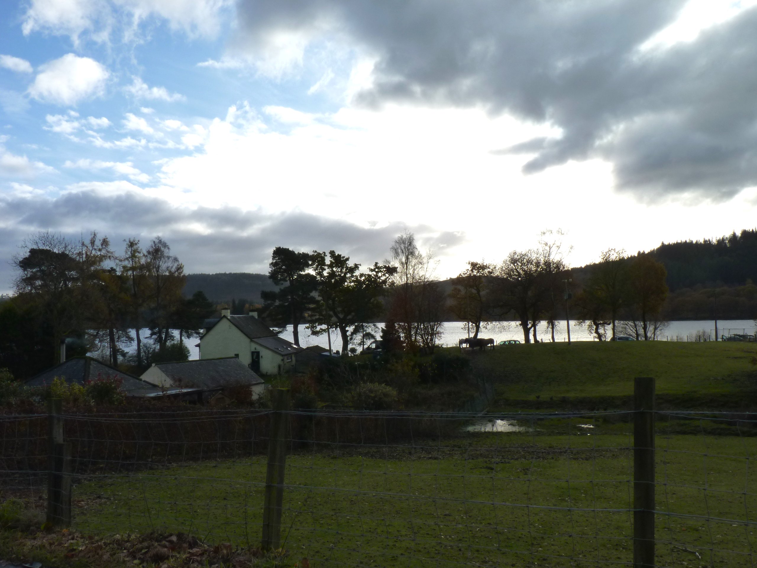
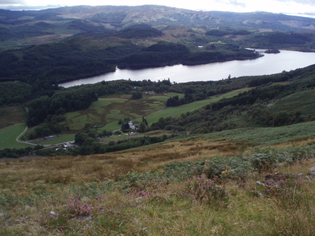
Altskeith is a charming village located in the county of Perthshire, Scotland. Nestled on the banks of the stunning Loch Ard, it offers breathtaking views and a tranquil atmosphere that attracts visitors from near and far.

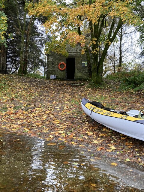
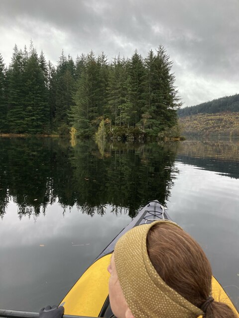
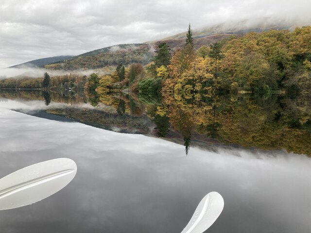
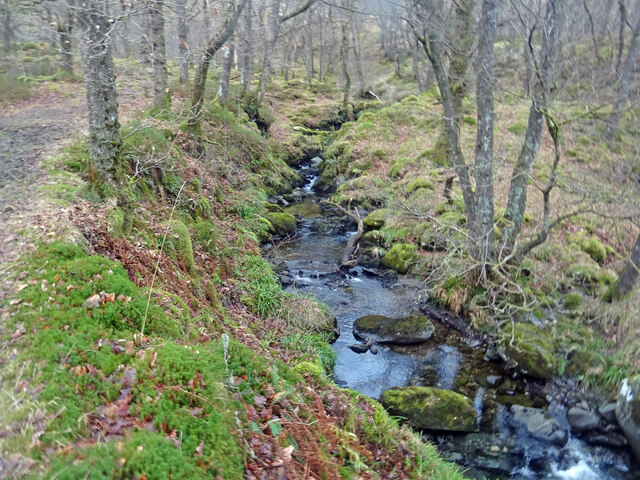
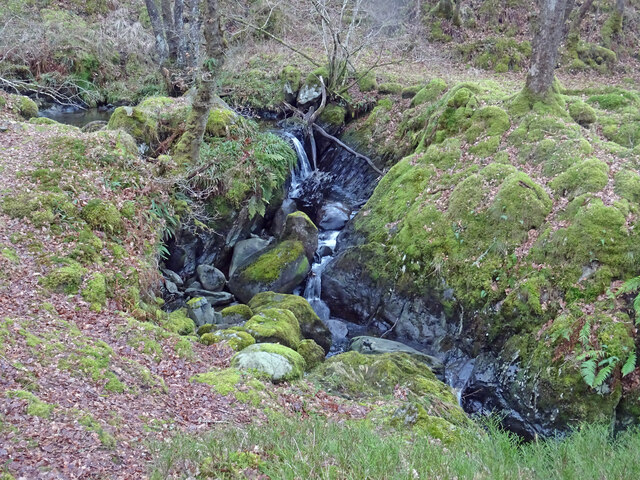
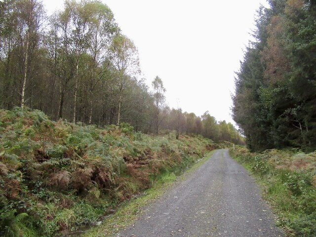
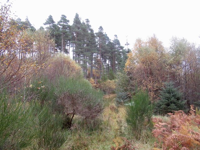
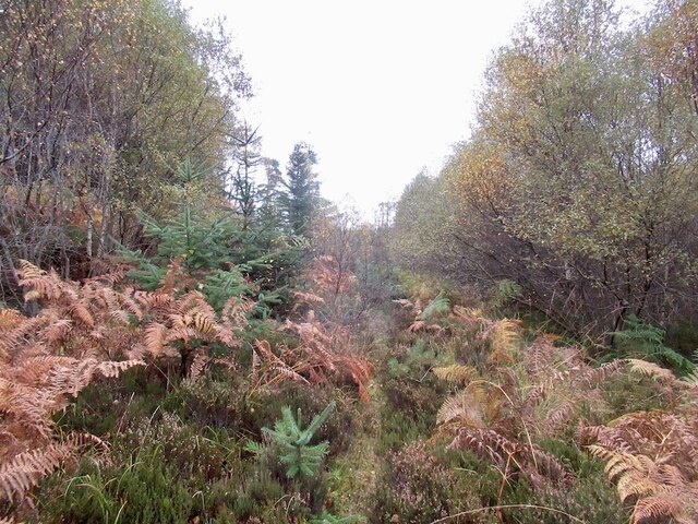
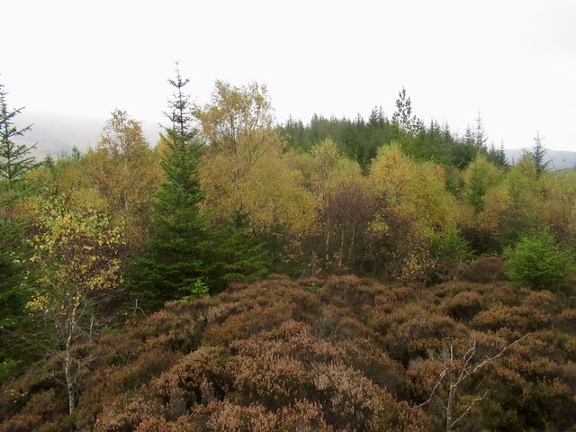
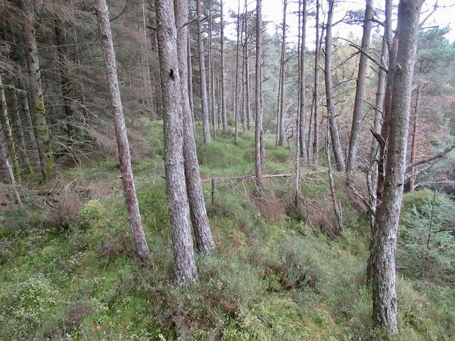
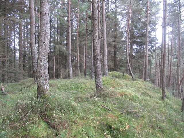
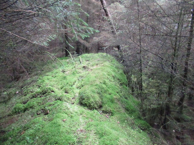
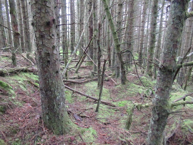
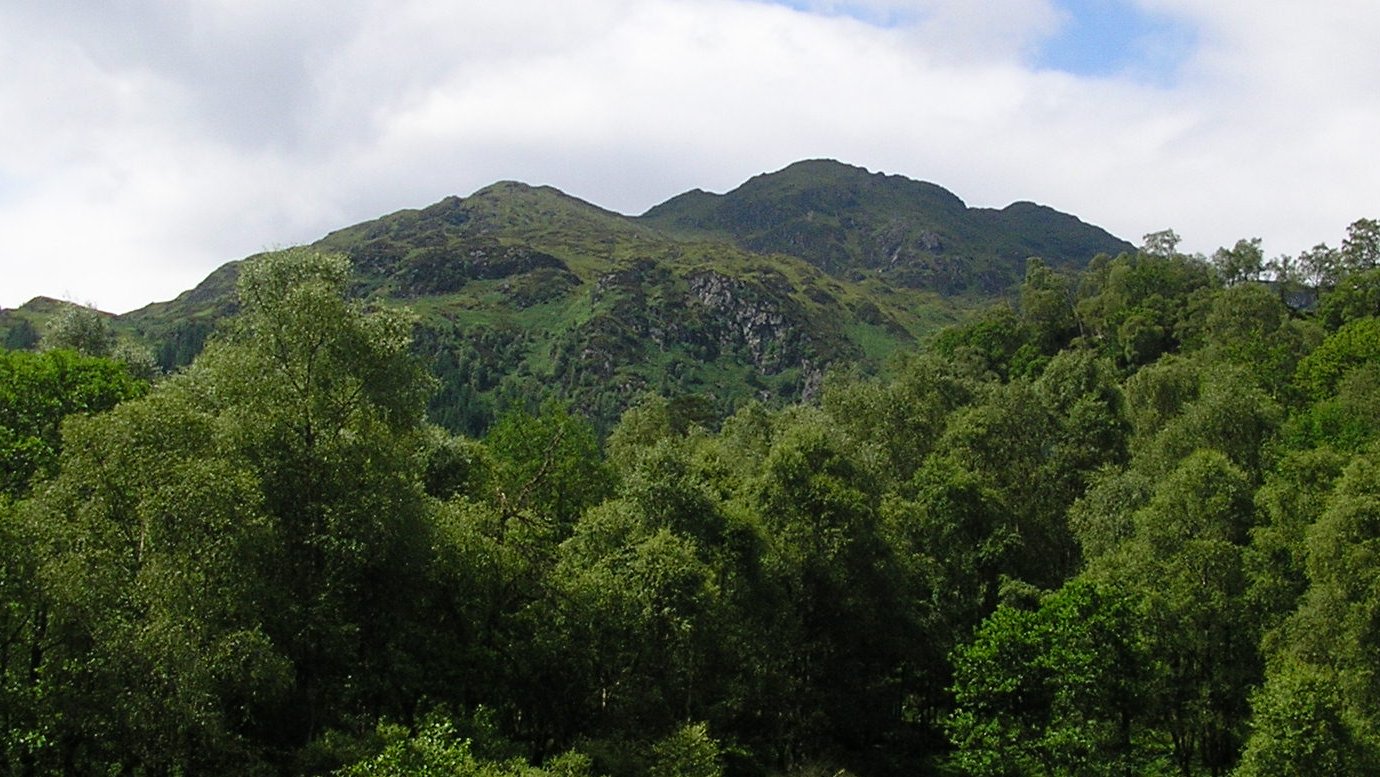
The village is known for its natural beauty, surrounded by lush forests and rolling hills, making it a haven for outdoor enthusiasts. Hiking and cycling trails are abundant, allowing visitors to explore the picturesque landscapes and enjoy the fresh air. Loch Ard itself provides opportunities for water activities such as fishing, kayaking, and boating.

Altskeith is also home to a variety of wildlife, including red deer, ospreys, and otters, making it a popular destination for nature lovers and bird watchers. The area is renowned for its diverse flora and fauna, with colorful wildflowers dotting the meadows during the summer months.

In addition to its natural attractions, Altskeith offers a range of accommodation options, from cozy cottages to luxury lodges, ensuring a comfortable stay for all visitors. The village is also within easy reach of other notable attractions in Perthshire, including the Trossachs National Park and the famous Loch Lomond.

With its stunning scenery, outdoor activities, and peaceful ambiance, Altskeith is a hidden gem in Perthshire, providing an idyllic getaway for those seeking a break from the hustle and bustle of city life.

If you have any feedback on the listing, please let us know in the comments section below.
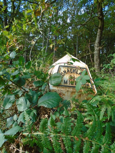
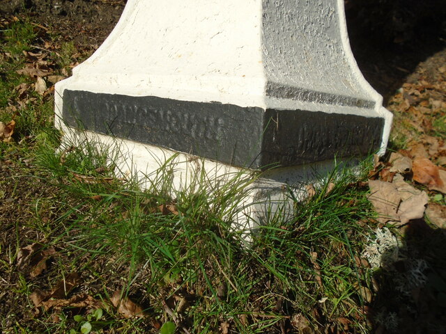
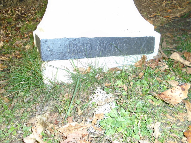
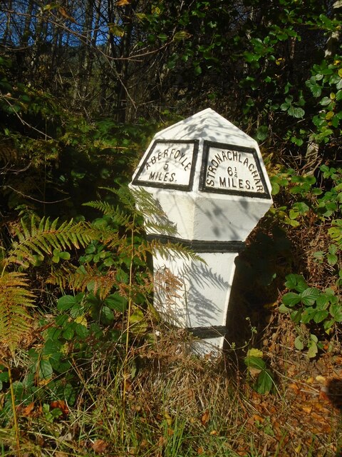
Altskeith Images

Images are sourced within 2km of 56.185652/-4.482939 or Grid Reference NN4602. Thanks to Geograph Open Source API. All images are credited.

Eilean Gorm island bothy, Loch Ard, The Trossachs A bothy upon a lake island- visits and stays are allowed.
Eilean Gorm island bothy, Loch Ard, The Trossachs
A bothy upon a lake island- visits and stays are allowed.
Eilean Gorm, Loch Ard, The Trossachs Looking north north east, from a kayak, at the lake island of Eilean Gorm.
Eilean Gorm, Loch Ard, The Trossachs
Looking north north east, from a kayak, at the lake island of Eilean Gorm.
Loch Ard Forest, The Trossachs The extensive forest that extends from the southern shore of Loch Ard. On the right is a narrow passage into an inlet bay of the loch.
Loch Ard Forest, The Trossachs
The extensive forest that extends from the southern shore of Loch Ard. On the right is a narrow passage into an inlet bay of the loch.
Woodlands on north shore of Loch Ard, The Trossachs Autumnal woodland colours on a flat-calm day.
Woodlands on north shore of Loch Ard, The Trossachs
Autumnal woodland colours on a flat-calm day.
Old milepost This original Grangemouth Ironworks milepost is 3 miles from Aberfoyle on the north side of the road, B829, bordering Loch Ard.   In autumn 2021 it is almost hidden in the brambles and bracken.
Old milepost
This original Grangemouth Ironworks milepost is 3 miles from Aberfoyle on the north side of the road, B829, bordering Loch Ard. In autumn 2021 it is almost hidden in the brambles and bracken.
Old milepost On the B829, the 4 miles from Aberfoyle milepost is on the verge in front of a hotel and is well maintained.   This picture shows the makers name each side of the base, GRANGEMOUTH on the left side, IRONWORKS on the right.
Old milepost
On the B829, the 4 miles from Aberfoyle milepost is on the verge in front of a hotel and is well maintained. This picture shows the makers name each side of the base, GRANGEMOUTH on the left side, IRONWORKS on the right.
Old milepost IRONWORKS 4 can be seen on the right-hand side of the base of the milepost 4 miles from Aberfoyle along the B829.  The original Grangemouth Ironworks was operational from 1884-1900.
Old milepost
IRONWORKS 4 can be seen on the right-hand side of the base of the milepost 4 miles from Aberfoyle along the B829. The original Grangemouth Ironworks was operational from 1884-1900.
Old milepost The 5 mile post on the north side of the B829 has been well maintained although now leaning slightly.  It is another of the original Grangemouth Ironworks castings.  It is thought that the posts along this road were erected for the visit of Queen Victoria in the 1890s.
Old milepost
The 5 mile post on the north side of the B829 has been well maintained although now leaning slightly. It is another of the original Grangemouth Ironworks castings. It is thought that the posts along this road were erected for the visit of Queen Victoria in the 1890s.
Ledard Burn, Winter Taken from a similar position as this photograph here:- <a title="https://www.geograph.org.uk/photo/6145723" href="https://www.geograph.org.uk/photo/6145723">Link</a> taken in spring nearly 3 years ago. Less vegetation and therefore more muted colours are the difference. It is a lovely spot at any time of year.
Ledard Burn, Winter
Taken from a similar position as this photograph here:- Link taken in spring nearly 3 years ago. Less vegetation and therefore more muted colours are the difference. It is a lovely spot at any time of year.
Little Falls Lovely little waterfalls on the Ledard Burn near Kinlochard in the Trossachs, with Oaks and Alders surrounding the burn.
Little Falls
Lovely little waterfalls on the Ledard Burn near Kinlochard in the Trossachs, with Oaks and Alders surrounding the burn.
Statute Labour Road Passing the horribly inaccessible Bad Dearg (left). Lovely birch wood though.
Statute Labour Road
Passing the horribly inaccessible Bad Dearg (left). Lovely birch wood though.
Loch Ard Forest A hillside where the conifer plantation was felled and not replanted leading to colonisation by birch.
Loch Ard Forest
A hillside where the conifer plantation was felled and not replanted leading to colonisation by birch.
Overgrown road, Loch Ard Forest
Summit ridge, Bad Dearg Purgatorial going in deep heather growing over the rotting remains of the conifers that once stood here. I have been here before, orienteering in 1980. That was brutal too.
Summit ridge, Bad Dearg
Purgatorial going in deep heather growing over the rotting remains of the conifers that once stood here. I have been here before, orienteering in 1980. That was brutal too.
Scots pines, Innis Ard
Eastern summit, Innis Ard
Summit, Innis Ard Moss covered rock in dense spruce wood.
Summit, Innis Ard
Moss covered rock in dense spruce wood.
Conifer plantation, Innis Ard
Show me another place!

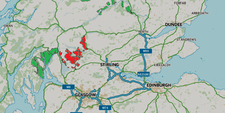
Altskeith is located at Grid Ref: NN4602 (Lat: 56.185652, Lng: -4.482939)

Unitary Authority: Stirling

Police Authority: Forth Valley

What 3 Words

///showcases.back.promise. Near Balfron, Stirling

Nearby Locations

Dail Malio Altskeith

Related Wikis

Kinlochard

Kinlochard is a village in Stirling, Scotland. It lies to the western end of Loch Ard. Children in Kinlochard attend Aberfoyle Primary School and eventually...

Loch Ard

Loch Ard (Scottish Gaelic: Loch na h-Ă€irde) is a loch, located in Loch Lomond and the Trossachs National Park, Stirling council area, Scotland. == Overview... ==

Beinn an Fhogharaidh

Beinn an Fhogharaidh is a mountain ridge, 616 metres (2,021 ft) high, in the southern Scottish Highlands near the village of Aberfoyle in Stirling council...

Queen Elizabeth Forest Park

Queen Elizabeth Forest Park is a 19,665-hectare (48,590-acre) forest park in the Scottish Highlands which extends from the eastern shores of Loch Lomond...

Ben Venue

Ben Venue (Scottish Gaelic: A' Bheinn Mheanbh) is a mountain in the Trossachs area of Scotland. The name Ben Venue is derived from the Scottish Gaelic...

Milton, Stirling

Milton is a hamlet in Stirling, Scotland near Aberfoyle situated above the River Forth. In 1961 it had a population of 98. Most pupils attend Aberfoyle...

Duchray Water

Duchray Water, also called Dachray Water, is a 14-mile-long (23 km) headstream of the River Forth in the Trossachs region of Scotland. == Location == Duchray...

Craigmore (hill)

Craigmore is a prominent hill, 387 metres high, above the village of Aberfoyle in the council area of Stirling in Scotland. == Geography == The summit...

Nearby Amenities

Located within 500m of 56.185652,-4.482939
Power: pole
Lat/Long: 56.189125/-4.477856
The data included in this document is from www.openstreetmap.org. The data is made available under ODbL.

Have you been to Altskeith?

Leave your review of Altskeith below (or comments, questions and feedback).