Dail Malio

Settlement in Perthshire

Scotland

Dail Malio

Eilean Gorm island bothy, Loch Ard, The Trossachs A bothy upon a lake island- visits and stays are allowed.
Eilean Gorm island bothy, Loch Ard, The Trossachs Credit: Kim McGillivray

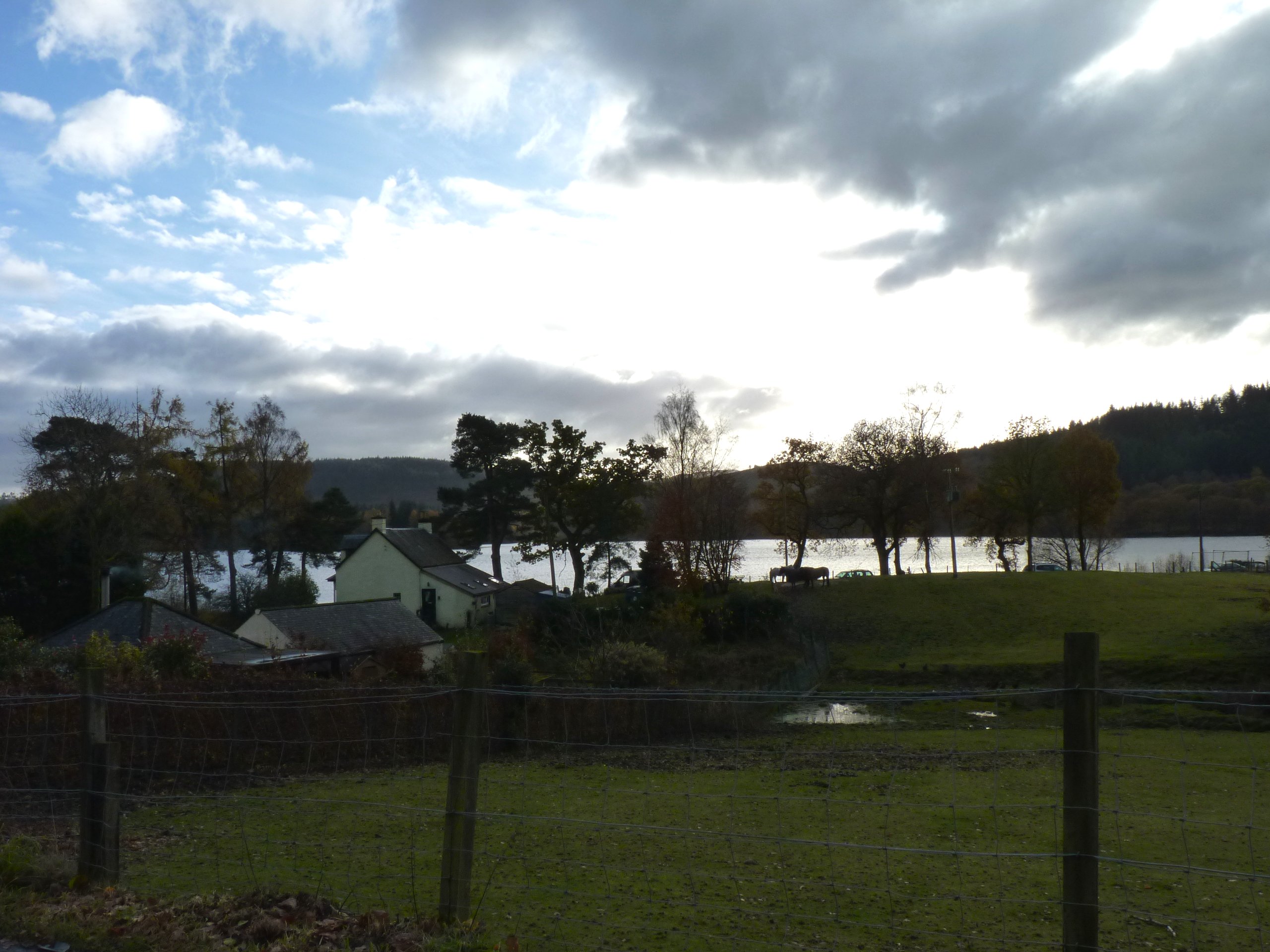
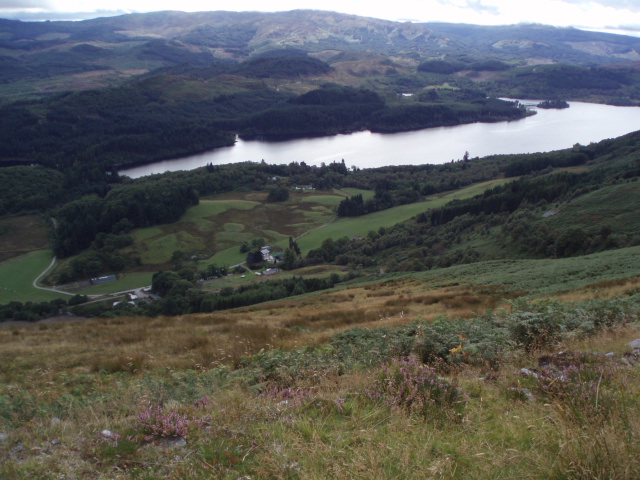
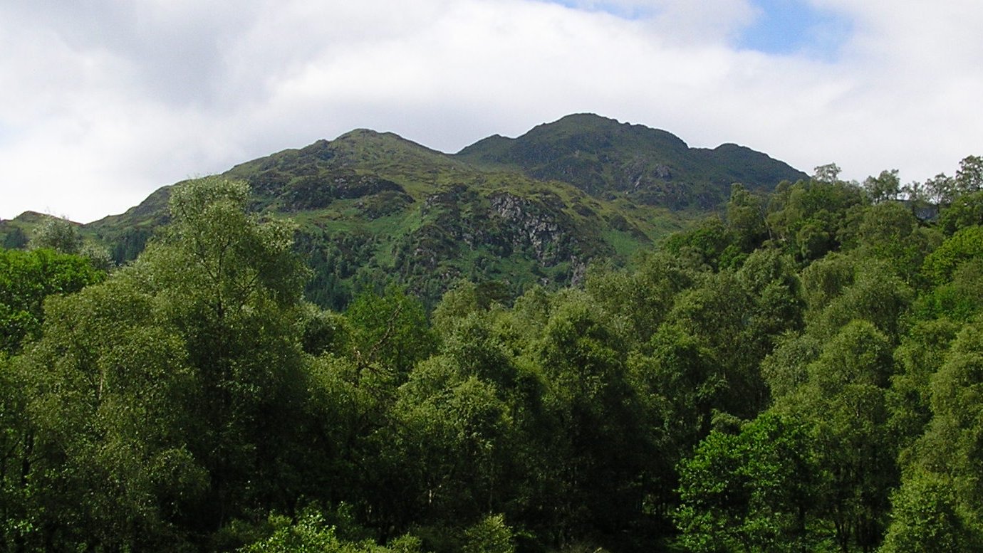
Dail Malio is a picturesque village located in the county of Perthshire, Scotland. Situated in the heart of the country, it is surrounded by stunning natural landscapes and offers a peaceful retreat for residents and visitors alike.

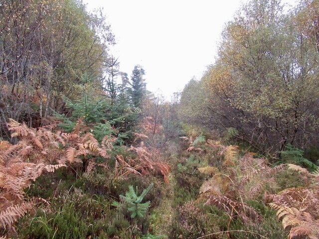
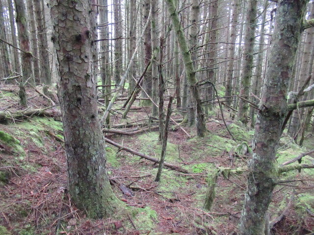
The village is nestled amidst rolling hills and lush countryside, providing ample opportunities for outdoor activities such as hiking, cycling, and fishing. The nearby River Tay adds to the charm of Dail Malio, attracting anglers who are looking to experience some of the best salmon fishing in the region.

Despite its small size, Dail Malio boasts a close-knit community that is known for its warm hospitality. The village is home to a number of quaint cottages and traditional stone houses, which add to its idyllic atmosphere. The local residents take great pride in their village and often organize community events and festivals to celebrate their heritage and promote a sense of togetherness.

Dail Malio also offers a range of amenities to cater to the needs of its residents. The village has a well-stocked general store, a post office, and a cozy pub where locals and visitors can socialize over a pint or two. For those seeking more extensive services, the nearby town of Perth is easily accessible and provides a wider range of shops, restaurants, and entertainment options.

Overall, Dail Malio is a hidden gem in Perthshire, offering a tranquil escape from the hustle and bustle of city life. Its natural beauty, friendly community, and range of recreational activities make it an ideal destination for nature lovers and those seeking a peaceful retreat in the Scottish countryside.

If you have any feedback on the listing, please let us know in the comments section below.
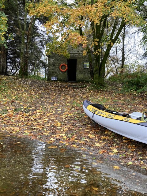
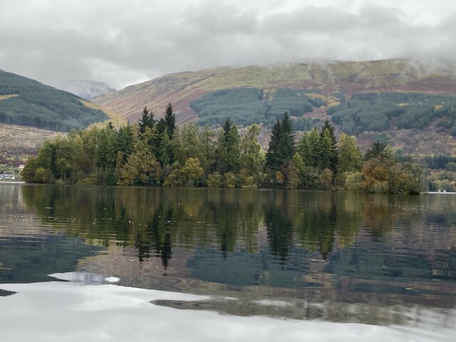
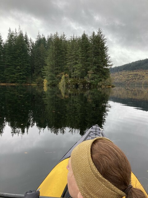
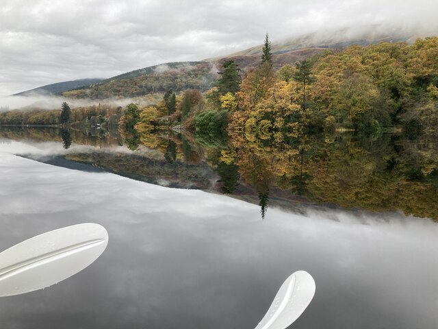
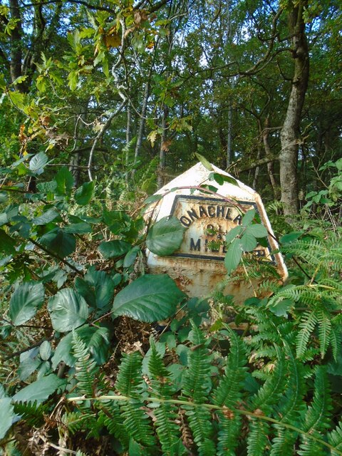
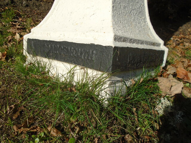
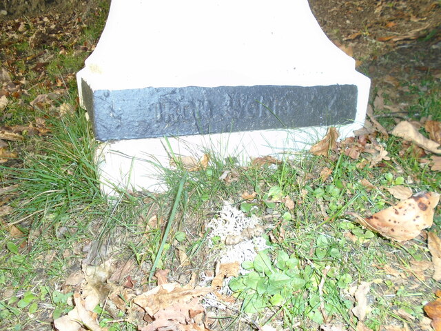
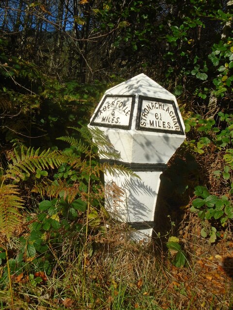
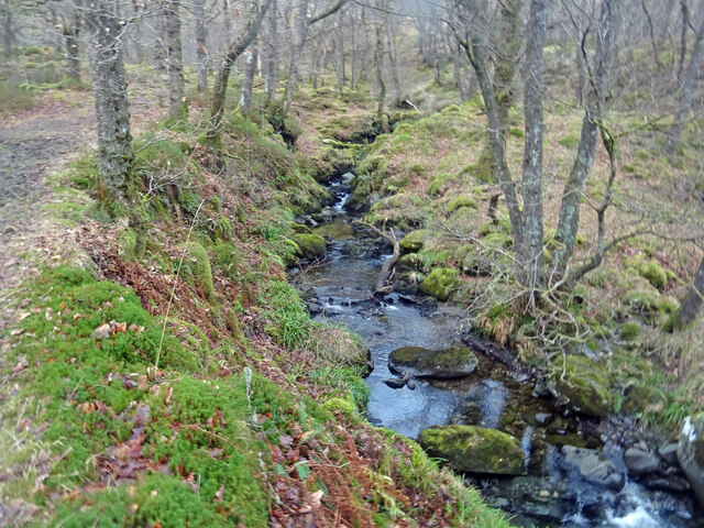
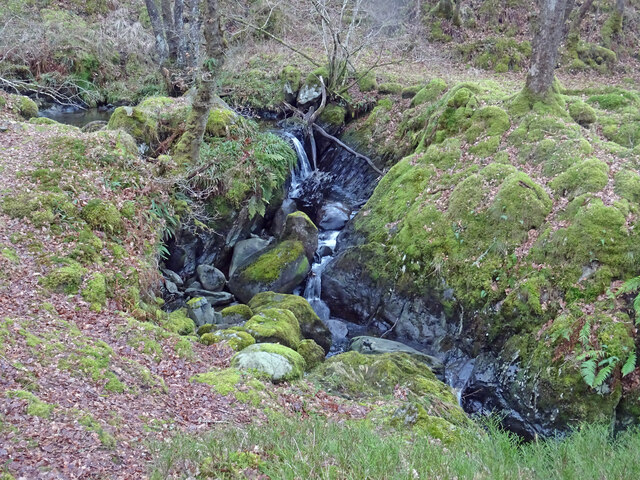
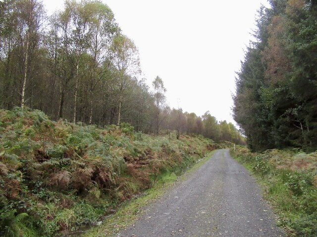
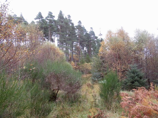
Dail Malio Images

Images are sourced within 2km of 56.187827/-4.4797916 or Grid Reference NN4602. Thanks to Geograph Open Source API. All images are credited.

Eilean Gorm island bothy, Loch Ard, The Trossachs A bothy upon a lake island- visits and stays are allowed.
Eilean Gorm island bothy, Loch Ard, The Trossachs
A bothy upon a lake island- visits and stays are allowed.
Eilean Gorm, Loch Ard, The Trossachs Looking north north east, from a kayak, at the lake island of Eilean Gorm.
Eilean Gorm, Loch Ard, The Trossachs
Looking north north east, from a kayak, at the lake island of Eilean Gorm.
Loch Ard Forest, The Trossachs The extensive forest that extends from the southern shore of Loch Ard. On the right is a narrow passage into an inlet bay of the loch.
Loch Ard Forest, The Trossachs
The extensive forest that extends from the southern shore of Loch Ard. On the right is a narrow passage into an inlet bay of the loch.
Woodlands on north shore of Loch Ard, The Trossachs Autumnal woodland colours on a flat-calm day.
Woodlands on north shore of Loch Ard, The Trossachs
Autumnal woodland colours on a flat-calm day.
Old milepost This original Grangemouth Ironworks milepost is 3 miles from Aberfoyle on the north side of the road, B829, bordering Loch Ard.   In autumn 2021 it is almost hidden in the brambles and bracken.
Old milepost
This original Grangemouth Ironworks milepost is 3 miles from Aberfoyle on the north side of the road, B829, bordering Loch Ard. In autumn 2021 it is almost hidden in the brambles and bracken.
Old milepost On the B829, the 4 miles from Aberfoyle milepost is on the verge in front of a hotel and is well maintained.   This picture shows the makers name each side of the base, GRANGEMOUTH on the left side, IRONWORKS on the right.
Old milepost
On the B829, the 4 miles from Aberfoyle milepost is on the verge in front of a hotel and is well maintained. This picture shows the makers name each side of the base, GRANGEMOUTH on the left side, IRONWORKS on the right.
Old milepost IRONWORKS 4 can be seen on the right-hand side of the base of the milepost 4 miles from Aberfoyle along the B829.  The original Grangemouth Ironworks was operational from 1884-1900.
Old milepost
IRONWORKS 4 can be seen on the right-hand side of the base of the milepost 4 miles from Aberfoyle along the B829. The original Grangemouth Ironworks was operational from 1884-1900.
Old milepost The 5 mile post on the north side of the B829 has been well maintained although now leaning slightly.  It is another of the original Grangemouth Ironworks castings.  It is thought that the posts along this road were erected for the visit of Queen Victoria in the 1890s.
Old milepost
The 5 mile post on the north side of the B829 has been well maintained although now leaning slightly. It is another of the original Grangemouth Ironworks castings. It is thought that the posts along this road were erected for the visit of Queen Victoria in the 1890s.
Ledard Burn, Winter Taken from a similar position as this photograph here:- <a title="https://www.geograph.org.uk/photo/6145723" href="https://www.geograph.org.uk/photo/6145723">Link</a> taken in spring nearly 3 years ago. Less vegetation and therefore more muted colours are the difference. It is a lovely spot at any time of year.
Ledard Burn, Winter
Taken from a similar position as this photograph here:- Link taken in spring nearly 3 years ago. Less vegetation and therefore more muted colours are the difference. It is a lovely spot at any time of year.
Little Falls Lovely little waterfalls on the Ledard Burn near Kinlochard in the Trossachs, with Oaks and Alders surrounding the burn.
Little Falls
Lovely little waterfalls on the Ledard Burn near Kinlochard in the Trossachs, with Oaks and Alders surrounding the burn.
Statute Labour Road Passing the horribly inaccessible Bad Dearg (left). Lovely birch wood though.
Statute Labour Road
Passing the horribly inaccessible Bad Dearg (left). Lovely birch wood though.
Loch Ard Forest A hillside where the conifer plantation was felled and not replanted leading to colonisation by birch.
Loch Ard Forest
A hillside where the conifer plantation was felled and not replanted leading to colonisation by birch.
Overgrown road, Loch Ard Forest
Conifer plantation, Innis Ard
Logging road, Loch Ard Forest
Road (B829) beside Loch Ard near to Forest Hills Hotel Looking south-eastward.
Road (B829) beside Loch Ard near to Forest Hills Hotel
Looking south-eastward.
Hedge-lined track giving access to Ledard Looking northward. Signage also indicates access to 'Hill Paths'.
Hedge-lined track giving access to Ledard
Looking northward. Signage also indicates access to 'Hill Paths'.
Lochard Cottages, Kinlochard Looking eastward.
Lochard Cottages, Kinlochard
Looking eastward.
Show me another place!

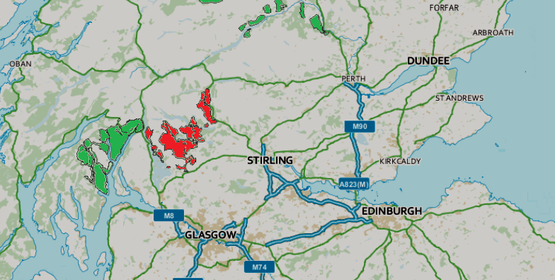
Dail Malio is located at Grid Ref: NN4602 (Lat: 56.187827, Lng: -4.4797916)

Unitary Authority: Stirling

Police Authority: Forth Valley

What 3 Words

///replaces.mess.outermost. Near Balfron, Stirling

Nearby Locations

Altskeith Dail Malio

Related Wikis

Kinlochard

Kinlochard is a village in Stirling, Scotland. It lies to the western end of Loch Ard. Children in Kinlochard attend Aberfoyle Primary School and eventually...

Loch Ard

Loch Ard (Scottish Gaelic: Loch na h-Ă€irde) is a loch, located in Loch Lomond and the Trossachs National Park, Stirling council area, Scotland. == Overview... ==

Beinn an Fhogharaidh

Beinn an Fhogharaidh is a mountain ridge, 616 metres (2,021 ft) high, in the southern Scottish Highlands near the village of Aberfoyle in Stirling council...

Queen Elizabeth Forest Park

Queen Elizabeth Forest Park is a 19,665-hectare (48,590-acre) forest park in the Scottish Highlands which extends from the eastern shores of Loch Lomond...

Ben Venue

Ben Venue (Scottish Gaelic: A' Bheinn Mheanbh) is a mountain in the Trossachs area of Scotland. The name Ben Venue is derived from the Scottish Gaelic...

Milton, Stirling

Milton is a hamlet in Stirling, Scotland near Aberfoyle situated above the River Forth. In 1961 it had a population of 98. Most pupils attend Aberfoyle...

Duchray Water

Duchray Water, also called Dachray Water, is a 14-mile-long (23 km) headstream of the River Forth in the Trossachs region of Scotland. == Location == Duchray...

Craigmore (hill)

Craigmore is a prominent hill, 387 metres high, above the village of Aberfoyle in the council area of Stirling in Scotland. == Geography == The summit...

Nearby Amenities

Located within 500m of 56.187827,-4.4797916
Power: pole
Lat/Long: 56.1904979/-4.4817184
Power: pole
Lat/Long: 56.1905887/-4.4822707
Power: pole
Lat/Long: 56.1906725/-4.4827601
Power: pole
Lat/Long: 56.1907295/-4.4832245
Power: pole
Lat/Long: 56.1905817/-4.4842411
Power: pole
Lat/Long: 56.1905072/-4.4856969
Power: pole
Lat/Long: 56.188241/-4.4740951
Power: pole
Lat/Long: 56.1891995/-4.4734644
Power: pole
Lat/Long: 56.189125/-4.477856
Power: pole
Lat/Long: 56.1889824/-4.4769378
Power: pole
Lat/Long: 56.1888445/-4.476032
Power: pole
Lat/Long: 56.1887042/-4.4751023
Power: pole
Lat/Long: 56.1889335/-4.4743587
The data included in this document is from www.openstreetmap.org. The data is made available under ODbL.

Have you been to Dail Malio?

Leave your review of Dail Malio below (or comments, questions and feedback).