Blashie Wood
Wood, Forest in Clackmannanshire
Scotland
Blashie Wood
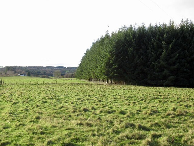
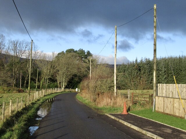
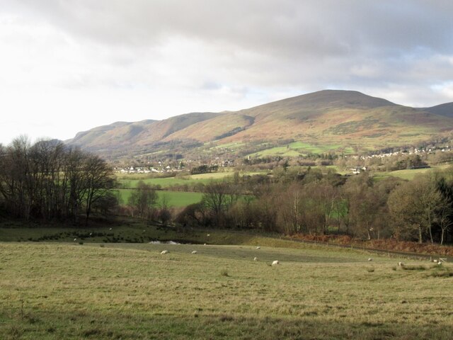
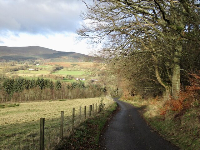
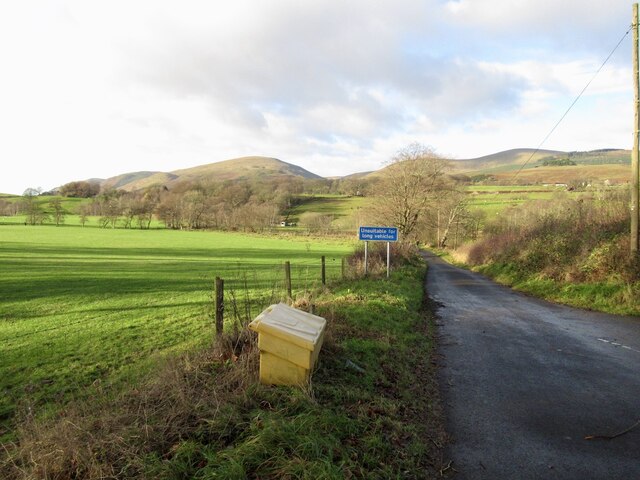
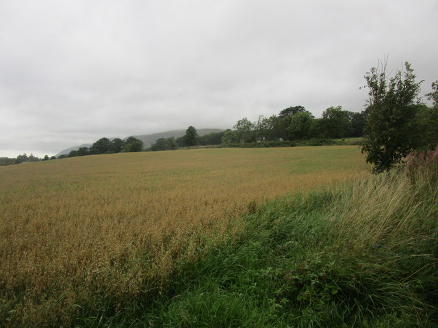
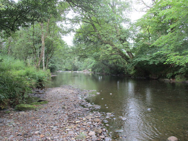
Blashie Wood is a picturesque woodland located in Clackmannanshire, Scotland. Covering an area of approximately 20 hectares, this forest is a haven for nature enthusiasts and outdoor lovers alike. It is situated on the southern slopes of the Ochil Hills, offering stunning views of the surrounding countryside.
The woodland is predominantly comprised of native tree species, such as oak, birch, and ash. These trees create a diverse and vibrant ecosystem that supports a wide range of wildlife. Visitors can expect to spot various bird species, including woodpeckers and owls, as well as small mammals like squirrels and rabbits.
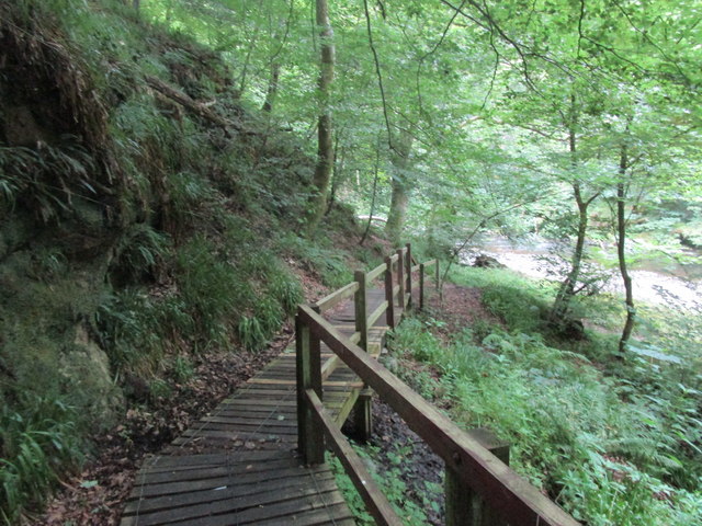
Blashie Wood features well-maintained walking trails that wind through the forest, allowing visitors to explore its beauty at their own pace. These paths are suitable for all levels of fitness and provide an excellent opportunity to immerse oneself in nature. The sounds of rustling leaves and chirping birds create a calming ambiance, making it an ideal place for relaxation and rejuvenation.
In addition to its natural beauty, Blashie Wood holds historical significance. It was once part of the estate owned by the influential Erskine family. Today, remnants of an old walled garden and a small pond can still be found within the woodland, serving as a reminder of its past.
Blashie Wood is a true gem of Clackmannanshire, offering visitors a tranquil escape from the hustle and bustle of everyday life. Its stunning scenery, diverse wildlife, and rich history make it a must-visit destination for nature enthusiasts and history buffs alike.
If you have any feedback on the listing, please let us know in the comments section below.
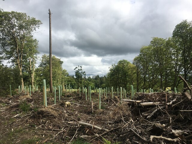
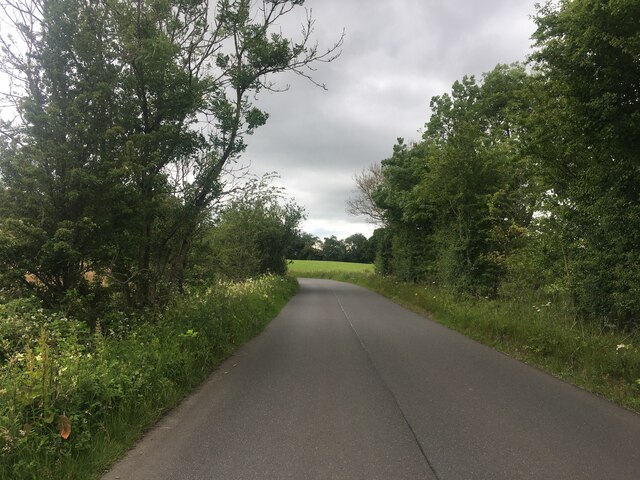
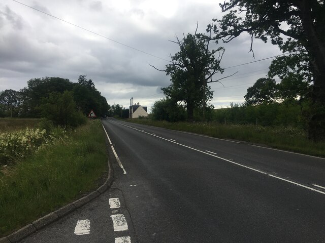
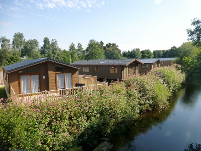
Blashie Wood Images
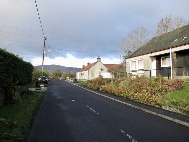
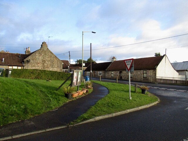
Images are sourced within 2km of 56.151271/-3.6472517 or Grid Reference NS9796. Thanks to Geograph Open Source API. All images are credited.
Blashie Wood is located at Grid Ref: NS9796 (Lat: 56.151271, Lng: -3.6472517)
Unitary Authority: Clackmannanshire
Police Authority: Forth Valley
What 3 Words
///tumble.brass.escapades. Near Dollar, Clackmannanshire
Nearby Locations
Related Wikis

Blairingone
Blairingone is a village in Perth and Kinross, Scotland. It lies on the A977 road at its intersection with Vicar's Bridge Road near the extreme south-westerly...

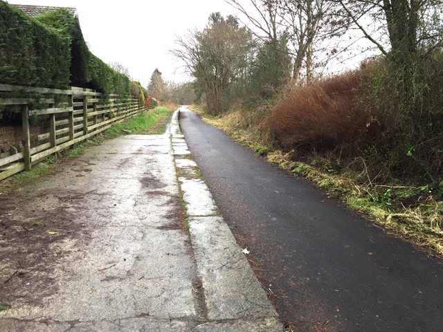
Devon Way
Devon Way is a pathway in Clackmannanshire, Central Scotland. It lies on the southern section of the former Devon Valley Railway from Dollar to Tillicoultry...

Dollar railway station
Dollar railway station served the village of Dollar, Clackmannanshire, Scotland from 1869 to 1964 on the Devon Valley Railway. == History == The station...

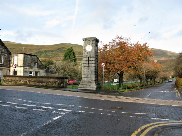
Dollar, Clackmannanshire
Dollar (Scottish Gaelic: Dolair) is a small town with a population of 2,800 people in Clackmannanshire, Scotland. It is 12 miles (19 kilometres) east of...
Nearby Amenities
Located within 500m of 56.151271,-3.6472517Have you been to Blashie Wood?
Leave your review of Blashie Wood below (or comments, questions and feedback).