Eleanor Strip

Wood, Forest in Clackmannanshire

Scotland

Eleanor Strip

Vicar's Bridge Road, Blairingone
Vicar's Bridge Road, Blairingone Credit: Richard Webb

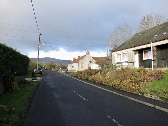
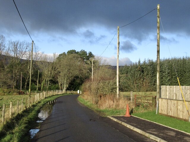
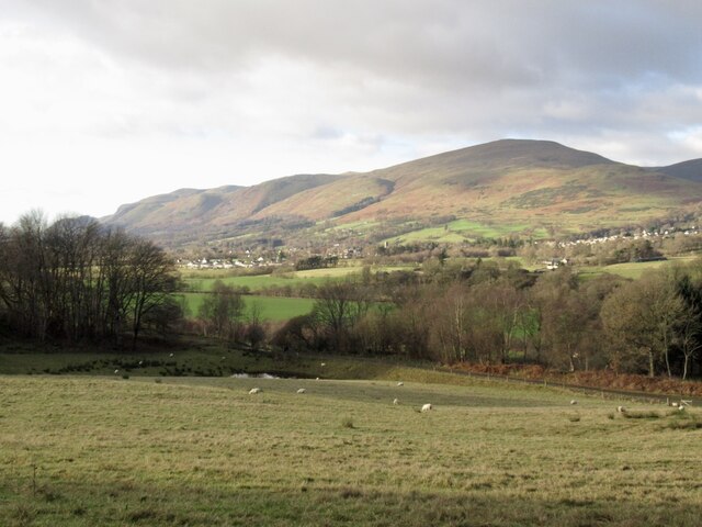
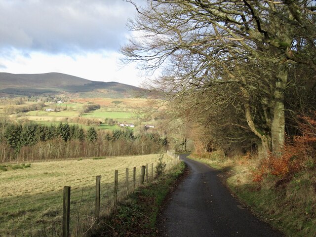
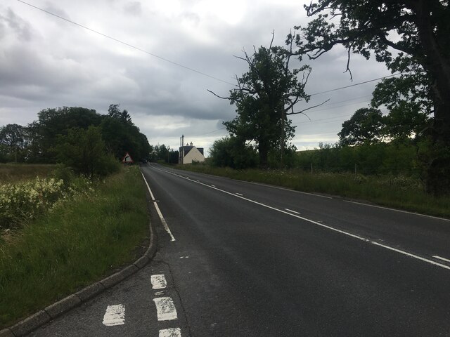
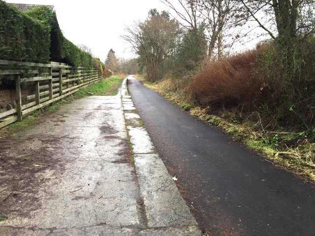
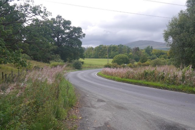
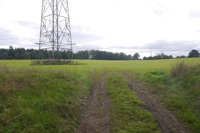
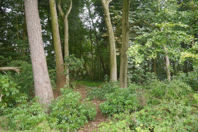
Eleanor Strip is a small wood located in Clackmannanshire, Scotland. Situated in the southern part of the county, it covers an area of approximately 20 acres. The wood is nestled within a rural landscape, surrounded by picturesque countryside and rolling hills.

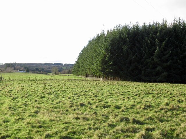
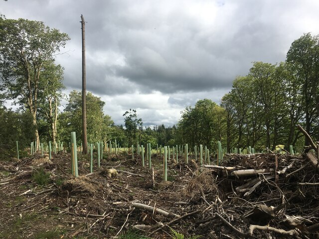
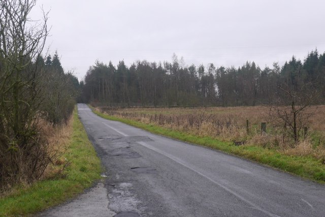
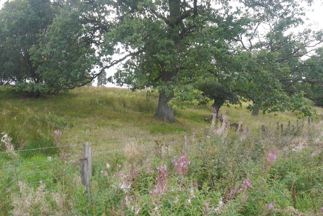
The main feature of Eleanor Strip is its dense forest, consisting primarily of native tree species such as oak, birch, and rowan. These trees create a rich and diverse ecosystem, providing habitat for numerous wildlife species, including birds, mammals, and insects. The wood is particularly known for its population of red squirrels, which thrive in the woodland environment.

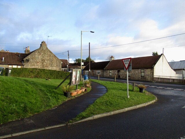
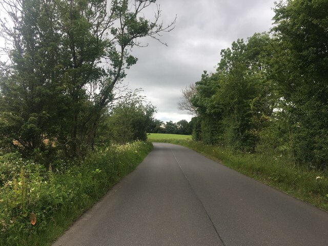
There are several trails and paths that wind their way through Eleanor Strip, offering visitors the opportunity to explore and appreciate the natural beauty of the area. The wood is a popular destination for nature enthusiasts, hikers, and families looking for a peaceful outdoor experience.

The wood is well-maintained, with careful attention given to preserving the natural environment. The local authorities, in collaboration with conservation organizations, have implemented various measures to protect the wood's biodiversity and ensure its long-term sustainability.

In addition to its natural attractions, Eleanor Strip also holds historical significance. It is believed that the wood was once part of a larger forest that covered the region in ancient times. Archaeological evidence suggests that human activity has occurred in the area for thousands of years, with traces of prehistoric settlements and burial sites discovered nearby.

Overall, Eleanor Strip in Clackmannanshire offers visitors a tranquil and scenic woodland experience, rich in natural beauty and cultural heritage.

If you have any feedback on the listing, please let us know in the comments section below.

Eleanor Strip Images

Images are sourced within 2km of 56.145665/-3.6551889 or Grid Reference NS9796. Thanks to Geograph Open Source API. All images are credited.

Vicar's Bridge Road, Blairingone
Blairingone End of Vicar's Bridge Road.
Blairingone
End of Vicar's Bridge Road.
Woodland edge, Blairingone Field beside Vicar's Bridge Road
Woodland edge, Blairingone
Field beside Vicar's Bridge Road
Vicar's Bridge Road, Blairingone The current edge of the village with new houses on the right.
Vicar's Bridge Road, Blairingone
The current edge of the village with new houses on the right.
View towards  Dollar View from Vicar's Bridge Road over the old railway, now a path towards Dollar and King's Seat Hill.
View towards Dollar
View from Vicar's Bridge Road over the old railway, now a path towards Dollar and King's Seat Hill.
Vicar's Bridge Road Descent to the bridge over the Devon with a view towards the Ochil Hills. The trees at the top of Hillfoot Hill are being felled.
Vicar's Bridge Road
Descent to the bridge over the Devon with a view towards the Ochil Hills. The trees at the top of Hillfoot Hill are being felled.
Replanted trees, Solsgirth
Minor road near Blairingone
A977 near Blairingone
Holiday Accommodation
Road and Cow Hill In the direction of Forest Mill, looking over wet pasture towards Aberdona woodlands.
Road and Cow Hill
In the direction of Forest Mill, looking over wet pasture towards Aberdona woodlands.
New hardcore, Cow Wood Newly installed timber loading point.
New hardcore, Cow Wood
Newly installed timber loading point.
Platform of Dollar Railway Station The station was closed in 1964. The line is now used as a walking and cycling path.
Platform of Dollar Railway Station
The station was closed in 1964. The line is now used as a walking and cycling path.
Track off the B9140
Track off the B9140
B913 Near Dollarbeg, a road between Saline and Dollar.
B913
Near Dollarbeg, a road between Saline and Dollar.
View from a layby Oaks beside the B913.
View from a layby
Oaks beside the B913.
Powerline, Solsgirth A late silage cut had been taken from this field. The power line runs eastwards to Lochore substation.
Powerline, Solsgirth
A late silage cut had been taken from this field. The power line runs eastwards to Lochore substation.
Woodland, Solsgirth As often near a big house, there are rhododendrons.
Woodland, Solsgirth
As often near a big house, there are rhododendrons.
Show me another place!

Eleanor Strip is located at Grid Ref: NS9796 (Lat: 56.145665, Lng: -3.6551889)

Unitary Authority: Clackmannanshire

Police Authority: Forth Valley

What 3 Words

///mutual.brotherly.hack. Near Dollar, Clackmannanshire

Related Wikis

Blairingone

Blairingone is a village in Perth and Kinross, Scotland. It lies on the A977 road at its intersection with Vicar's Bridge Road near the extreme south-westerly...

Devon Way

Devon Way is a pathway in Clackmannanshire, Central Scotland. It lies on the southern section of the former Devon Valley Railway from Dollar to Tillicoultry...

Dollar railway station

Dollar railway station served the village of Dollar, Clackmannanshire, Scotland from 1869 to 1964 on the Devon Valley Railway. == History == The station...

Dollar, Clackmannanshire

Dollar (Scottish Gaelic: Dolair) is a small town with a population of 2,800 people in Clackmannanshire, Scotland. It is 12 miles (19 kilometres) east of...

Dollar Glen

Dollar Glen is a small glen (valley) owned by the National Trust for Scotland. It is located in the Ochils that dramatically mark the Highland fault. It...

Forestmill

Forestmill (or Forest Mill) is a small hamlet in the county of Clackmannanshire, Scotland. It is situated on the A977 road between Kincardine and Kinross...
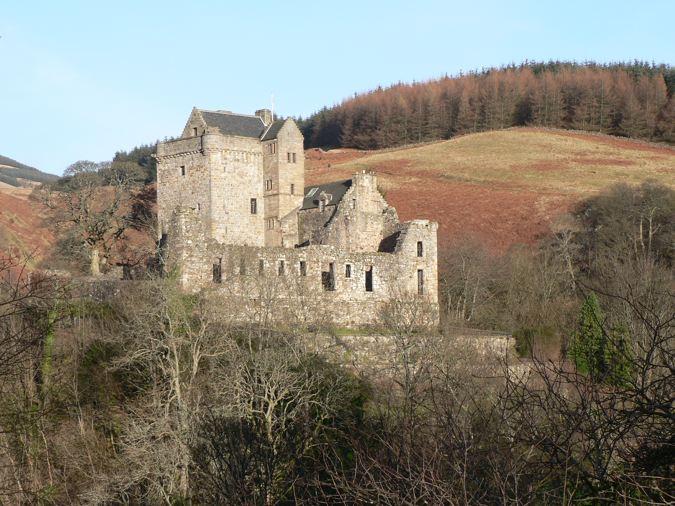
Castle Campbell

Castle Campbell is a medieval castle situated above the town of Dollar, Clackmannanshire, in central Scotland. It was the lowland seat of the earls and...

Cauldron Linn (River Devon)

Cauldron Linn, or Caldron Linn, is a waterfall on the River Devon on the border between Clackmannanshire and Perth and Kinross in Scotland. == Location... ==

Nearby Amenities

Located within 500m of 56.145665,-3.6551889
Power: tower
Lat/Long: 56.1475015/-3.6495259
Power: tower
Lat/Long: 56.1445156/-3.6491077
Power: tower
Lat/Long: 56.1440203/-3.6541916
Power: tower
Lat/Long: 56.143574/-3.6587734
Power: tower
Lat/Long: 56.1446341/-3.6509281
Power: tower
Lat/Long: 56.1424627/-3.6519898
Power: pole
Lat/Long: 56.1436958/-3.6491179
Power: pole
Lat/Long: 56.1436798/-3.6504801
Power: pole
Lat/Long: 56.1436741/-3.6518648
Power: pole
Lat/Long: 56.1436604/-3.6532803
Power: pole
Lat/Long: 56.1436558/-3.6546794
Power: pole
Lat/Long: 56.143649/-3.6559984
Power: pole
Lat/Long: 56.1436615/-3.6571657
Power: pole
Lat/Long: 56.143721/-3.6585053
Power: pole
Lat/Long: 56.143817/-3.6599598
Power: pole
Lat/Long: 56.1439358/-3.6612727
Power: pole
Lat/Long: 56.1439244/-3.6614983
Power: pole
Lat/Long: 56.1463484/-3.663002
Power: pole
Lat/Long: 56.145921/-3.6618163
Power: pole
Lat/Long: 56.1452536/-3.6616378
Power: pole
Lat/Long: 56.1445507/-3.6614594
Power: pole
Lat/Long: 56.1432535/-3.661084
Power: pole
Lat/Long: 56.1426489/-3.6609219
Power: pole
Lat/Long: 56.1468018/-3.6474026
Power: pole
Lat/Long: 56.1473827/-3.6482466
Power: pole
Lat/Long: 56.1469795/-3.6492946
Power: pole
Lat/Long: 56.1465775/-3.6502986
Power: pole
Lat/Long: 56.1463771/-3.650786
Power: pole
Lat/Long: 56.1459005/-3.6520368
Power: pole
Lat/Long: 56.1455858/-3.6533065
Power: pole
Lat/Long: 56.1453773/-3.6542415
Power: pole
Lat/Long: 56.1451302/-3.6553209
Power: pole
Lat/Long: 56.1443786/-3.6549925
Power: pole
Lat/Long: 56.1458504/-3.6557685
Power: pole
Lat/Long: 56.1465915/-3.6562454
Power: pole
Lat/Long: 56.1472871/-3.6566993
The data included in this document is from www.openstreetmap.org. The data is made available under ODbL.

Have you been to Eleanor Strip?

Leave your review of Eleanor Strip below (or comments, questions and feedback).