Orchard Plantation

Wood, Forest in Clackmannanshire

Scotland

Orchard Plantation

Vicar's Bridge Road, Blairingone
Vicar's Bridge Road, Blairingone Credit: Richard Webb

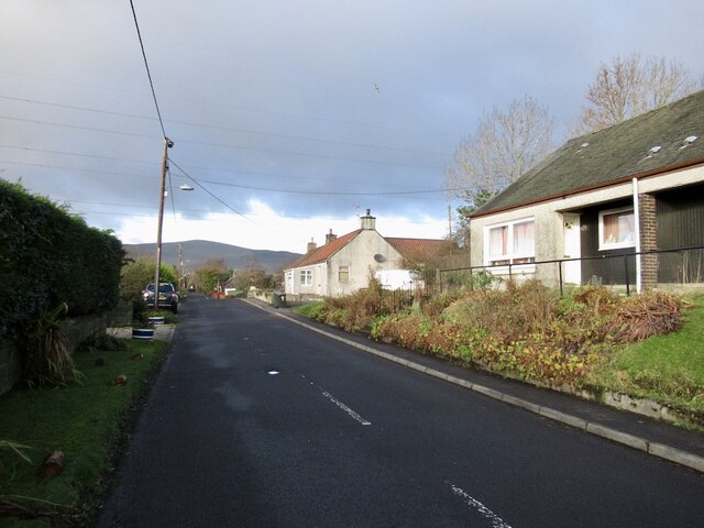
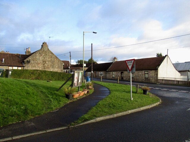
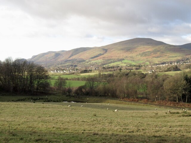
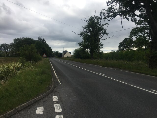
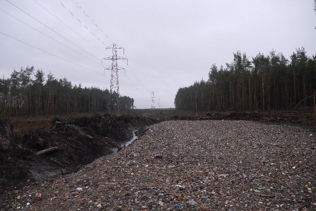
Orchard Plantation is a charming woodland area located in Clackmannanshire, Scotland. Situated near the town of Tillicoultry, it spans across a vast area of approximately 150 acres. The plantation is known for its rich history and breathtaking natural beauty.

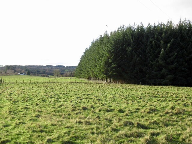
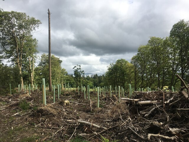
The main feature of Orchard Plantation is its dense forest, which is primarily composed of a variety of deciduous trees, including oak, beech, and birch. These trees create a vibrant and ever-changing landscape throughout the seasons, attracting nature enthusiasts and photographers alike.

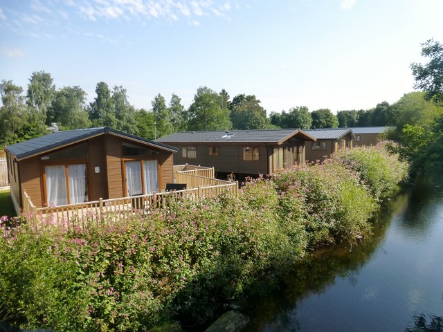
The woodland is home to a diverse range of flora and fauna, making it a haven for wildlife. Visitors can spot various bird species, including woodpeckers and owls, as well as small mammals like squirrels and rabbits. The forest floor is adorned with a carpet of wildflowers during spring, adding to its enchanting appeal.

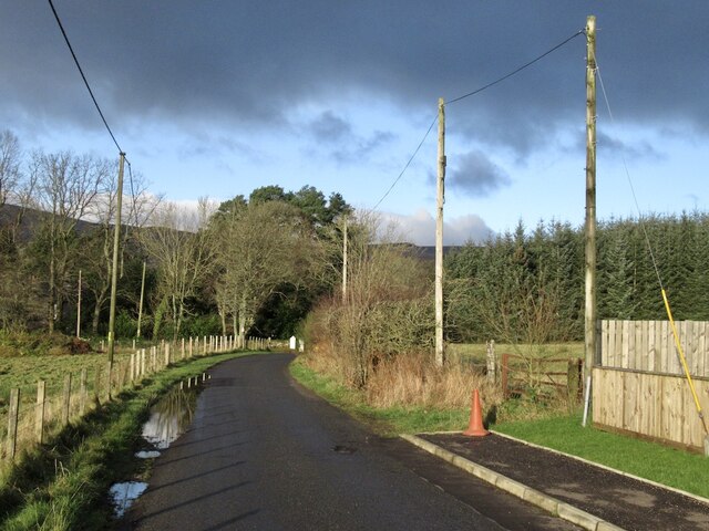
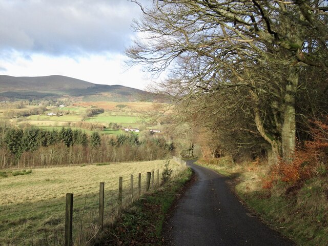
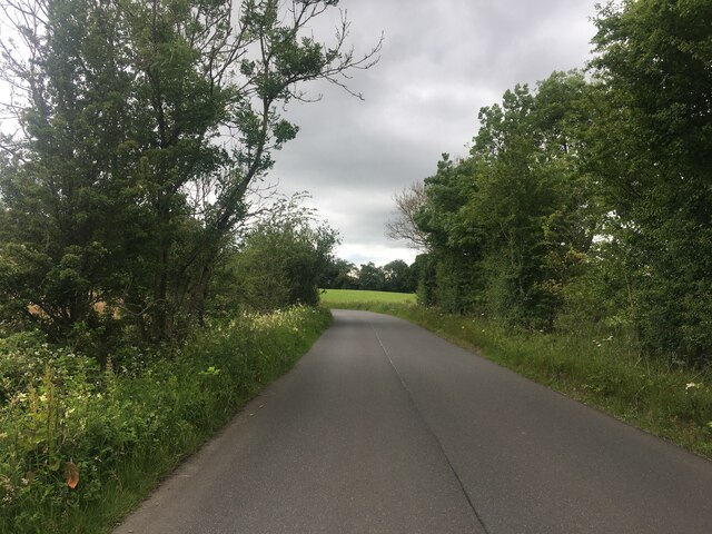
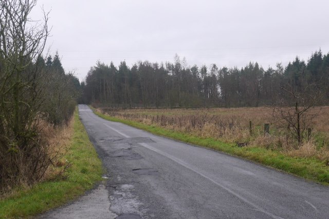
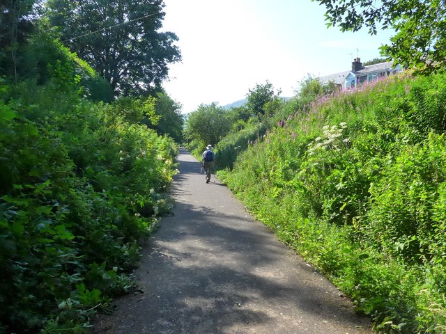
Orchard Plantation also boasts several walking trails that meander through the woods, allowing visitors to explore the area at their own pace. These trails offer stunning views of the surrounding countryside and the nearby Ochil Hills, making it a popular spot for outdoor activities such as hiking and picnicking.

The plantation has a rich history dating back to the 18th century when it was first established as a commercial orchard. Although the orchards are no longer present, the name has stuck, symbolizing the area's agricultural past. Today, Orchard Plantation serves as a tranquil retreat for locals and tourists alike, offering a peaceful escape from the hustle and bustle of daily life.

If you have any feedback on the listing, please let us know in the comments section below.

Orchard Plantation Images

Images are sourced within 2km of 56.147759/-3.6592389 or Grid Reference NS9796. Thanks to Geograph Open Source API. All images are credited.

Vicar's Bridge Road, Blairingone
Blairingone End of Vicar's Bridge Road.
Blairingone
End of Vicar's Bridge Road.
Woodland edge, Blairingone Field beside Vicar's Bridge Road
Woodland edge, Blairingone
Field beside Vicar's Bridge Road
Vicar's Bridge Road, Blairingone The current edge of the village with new houses on the right.
Vicar's Bridge Road, Blairingone
The current edge of the village with new houses on the right.
View towards  Dollar View from Vicar's Bridge Road over the old railway, now a path towards Dollar and King's Seat Hill.
View towards Dollar
View from Vicar's Bridge Road over the old railway, now a path towards Dollar and King's Seat Hill.
Vicar's Bridge Road Descent to the bridge over the Devon with a view towards the Ochil Hills. The trees at the top of Hillfoot Hill are being felled.
Vicar's Bridge Road
Descent to the bridge over the Devon with a view towards the Ochil Hills. The trees at the top of Hillfoot Hill are being felled.
Replanted trees, Solsgirth
Minor road near Blairingone
A977 near Blairingone
Old milestone One of only 2 milestones found so far in Clackmannanshire.   This one is in Dollar on the north side of Bridge Street nearly opposite the B913 junction.   It would not have been painted white originally.   But the legends on each face would have.   In Dollar, the Burn of Sorrow flows into the River Devon which then empties into the River Forth
Old milestone
One of only 2 milestones found so far in Clackmannanshire. This one is in Dollar on the north side of Bridge Street nearly opposite the B913 junction. It would not have been painted white originally. But the legends on each face would have. In Dollar, the Burn of Sorrow flows into the River Devon which then empties into the River Forth
Holiday Accommodation
Bridge Street, Dollar
Road and Cow Hill In the direction of Forest Mill, looking over wet pasture towards Aberdona woodlands.
Road and Cow Hill
In the direction of Forest Mill, looking over wet pasture towards Aberdona woodlands.
New hardcore, Cow Wood Newly installed timber loading point.
New hardcore, Cow Wood
Newly installed timber loading point.
Delicatessen, Dollar
Platform of Dollar Railway Station The station was closed in 1964. The line is now used as a walking and cycling path.
Platform of Dollar Railway Station
The station was closed in 1964. The line is now used as a walking and cycling path.
Station Road, Dollar
On the Devon Way Note - not county Devon, but river Devon!  This runs on a disused railway track-bed.
On the Devon Way
Note - not county Devon, but river Devon! This runs on a disused railway track-bed.
Show me another place!

Orchard Plantation is located at Grid Ref: NS9796 (Lat: 56.147759, Lng: -3.6592389)

Unitary Authority: Clackmannanshire

Police Authority: Forth Valley

What 3 Words

///shoelaces.composer.lunges. Near Dollar, Clackmannanshire

Related Wikis

Blairingone

Blairingone is a village in Perth and Kinross, Scotland. It lies on the A977 road at its intersection with Vicar's Bridge Road near the extreme south-westerly...
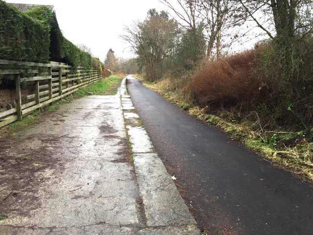
Devon Way

Devon Way is a pathway in Clackmannanshire, Central Scotland. It lies on the southern section of the former Devon Valley Railway from Dollar to Tillicoultry...

Dollar railway station

Dollar railway station served the village of Dollar, Clackmannanshire, Scotland from 1869 to 1964 on the Devon Valley Railway. == History == The station...

Dollar, Clackmannanshire

Dollar (Scottish Gaelic: Dolair) is a small town with a population of 2,800 people in Clackmannanshire, Scotland. It is 12 miles (19 kilometres) east of...

Nearby Amenities

Located within 500m of 56.147759,-3.6592389
Power: tower
Lat/Long: 56.143574/-3.6587734
Power: pole
Lat/Long: 56.143649/-3.6559984
Power: pole
Lat/Long: 56.1436615/-3.6571657
Power: pole
Lat/Long: 56.143721/-3.6585053
Power: pole
Lat/Long: 56.143817/-3.6599598
Power: pole
Lat/Long: 56.1439358/-3.6612727
Power: pole
Lat/Long: 56.1440056/-3.662922
Power: pole
Lat/Long: 56.1439244/-3.6614983
Power: pole
Lat/Long: 56.1478134/-3.6672219
Power: pole
Lat/Long: 56.1474717/-3.6662269
Power: pole
Lat/Long: 56.1471049/-3.6652073
Power: pole
Lat/Long: 56.1467175/-3.6641057
Power: pole
Lat/Long: 56.1463484/-3.663002
Power: pole
Lat/Long: 56.145921/-3.6618163
Power: pole
Lat/Long: 56.1452536/-3.6616378
Power: pole
Lat/Long: 56.1445507/-3.6614594
Power: pole
Lat/Long: 56.1459005/-3.6520368
Power: pole
Lat/Long: 56.1455858/-3.6533065
Power: pole
Lat/Long: 56.1453773/-3.6542415
Power: pole
Lat/Long: 56.1451302/-3.6553209
Power: pole
Lat/Long: 56.1443786/-3.6549925
Power: pole
Lat/Long: 56.1458504/-3.6557685
Power: pole
Lat/Long: 56.1465915/-3.6562454
Power: pole
Lat/Long: 56.1472871/-3.6566993
The data included in this document is from www.openstreetmap.org. The data is made available under ODbL.

Have you been to Orchard Plantation?

Leave your review of Orchard Plantation below (or comments, questions and feedback).