Mary Wood
Wood, Forest in Clackmannanshire
Scotland
Mary Wood
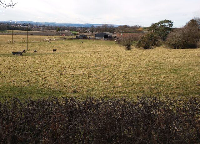
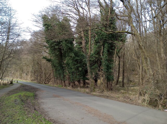
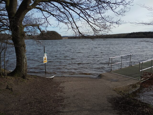
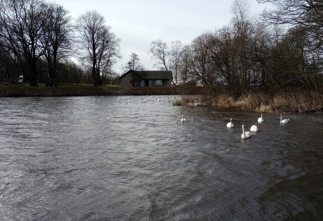
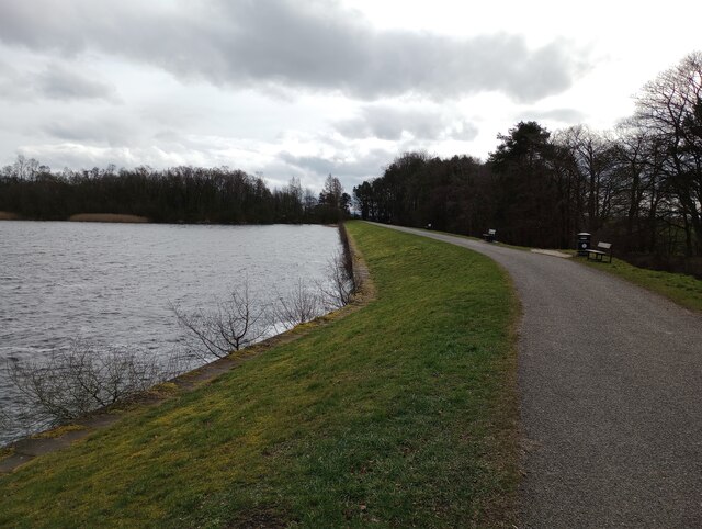
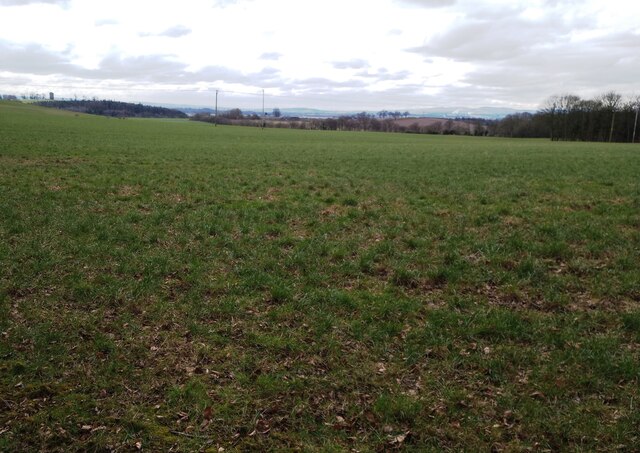
Mary Wood is a small forest located in Clackmannanshire, Scotland. Situated to the north of the town of Alloa, it covers an area of approximately 500 hectares. The forest is part of the larger Ochil Hills, which are known for their scenic beauty and diverse wildlife.
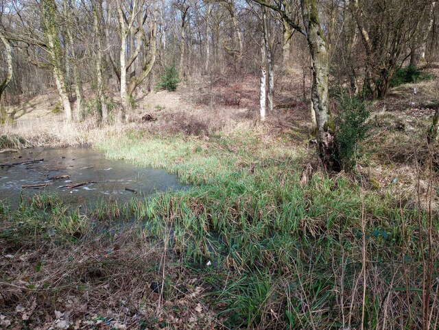
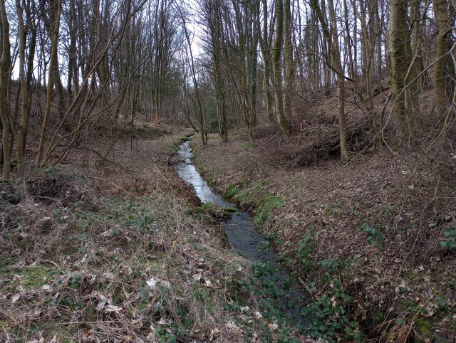
Mary Wood is predominantly composed of mixed woodland, consisting of various tree species such as oak, birch, and pine. These trees create a rich and vibrant habitat that supports a wide range of flora and fauna. The forest is home to a variety of bird species, including woodpeckers, owls, and thrushes, making it a popular spot for birdwatchers.
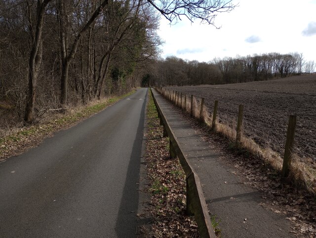
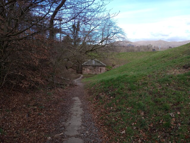
The wood is traversed by a network of well-maintained footpaths, allowing visitors to explore the area and enjoy its natural beauty. These paths provide opportunities for hiking, walking, and cycling, attracting outdoor enthusiasts and nature lovers alike. The forest also offers picnic areas and viewpoints, providing visitors with the chance to relax and take in the stunning surroundings.
In addition to its recreational value, Mary Wood plays an essential role in conservation efforts. The forest serves as a vital habitat for several protected species, including red squirrels and various bats. Its conservation management aims to preserve and enhance the biodiversity of the area, ensuring the long-term sustainability of the woodland ecosystem.
Overall, Mary Wood in Clackmannanshire is a picturesque forest that offers a peaceful retreat in the heart of Scotland. With its scenic trails, diverse wildlife, and conservation efforts, it is a place of significance for both locals and visitors seeking to connect with nature.
If you have any feedback on the listing, please let us know in the comments section below.
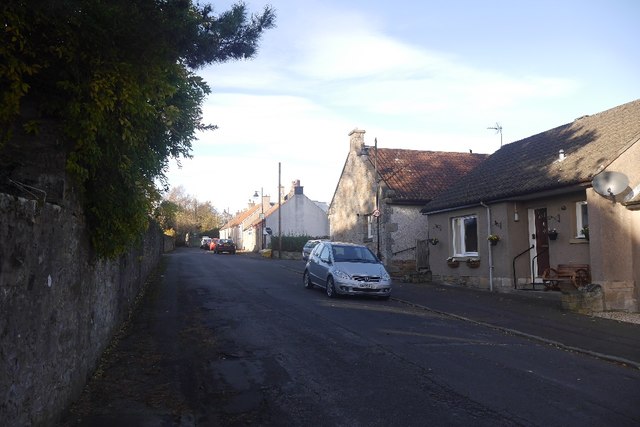
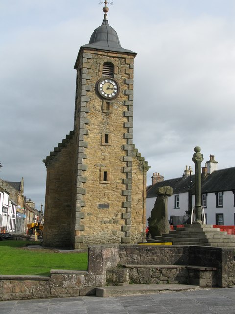
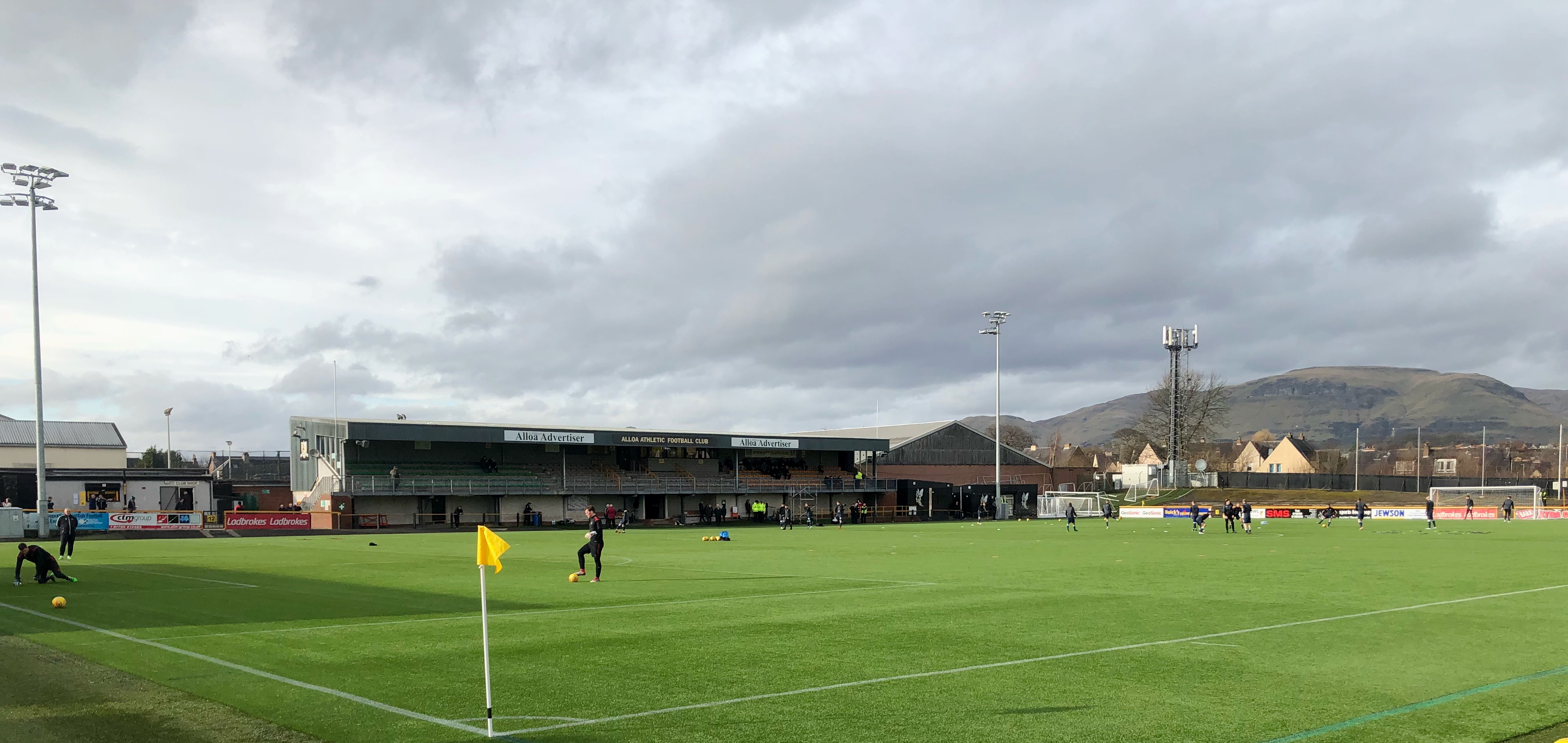
Mary Wood Images
Images are sourced within 2km of 56.112182/-3.7599452 or Grid Reference NS9092. Thanks to Geograph Open Source API. All images are credited.
Mary Wood is located at Grid Ref: NS9092 (Lat: 56.112182, Lng: -3.7599452)
Unitary Authority: Clackmannanshire
Police Authority: Forth Valley
What 3 Words
///running.bandage.detonated. Near Clackmannan, Clackmannanshire
Related Wikis

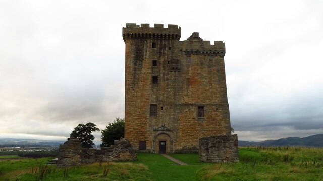
Clackmannan Tower
The Clackmannan Tower is a historic five-storey tower house situated at the summit of King's Seat Hill in Clackmannan, Clackmannanshire, Scotland. It dates...

Clackmannan House
Clackmannan House, built c. 1815, is an example of Georgian design, stone built and nestled in a secluded setting amidst garden grounds of approximately...

Clackmannan
Clackmannan ( ; Scottish Gaelic: Clach Mhanainn, perhaps meaning "Stone of Manau"), is a small town and civil parish set in the Central Lowlands of Scotland...

Clackmannan and Kennet railway station
Clackmannan and Kennet railway station served the town of Clackmannan, Clackmannanshire from 1893 to 1930 on the Kincardine Line. == History == The station...
Chapelhill Park
Chapelhill Park was a football ground in Clackmannan, Scotland. It was the home ground of Clackmannan F.C. from 1886 until the club folded in 1931. �...
Recreation Park, Alloa
Recreation Park, also known as Recreation Grounds, The Recs and The Indodrill Stadium for sponsorship reasons, is a football stadium in Alloa, Clackmannanshire...
Clackmannan Road railway station
Clackmannan Road railway station served the town of Clackmannan, Clackmannanshire, Scotland from 1850 to 1921 on the Stirling and Dunfermline Railway....
Upper Hirst
The Upper Hirst is a coal seam in central Scotland that was mined on a large scale in the 1950s through to 2002, mainly to supply Kincardine Power Station...
Nearby Amenities
Located within 500m of 56.112182,-3.7599452Have you been to Mary Wood?
Leave your review of Mary Wood below (or comments, questions and feedback).