Back Wood
Wood, Forest in Clackmannanshire
Scotland
Back Wood
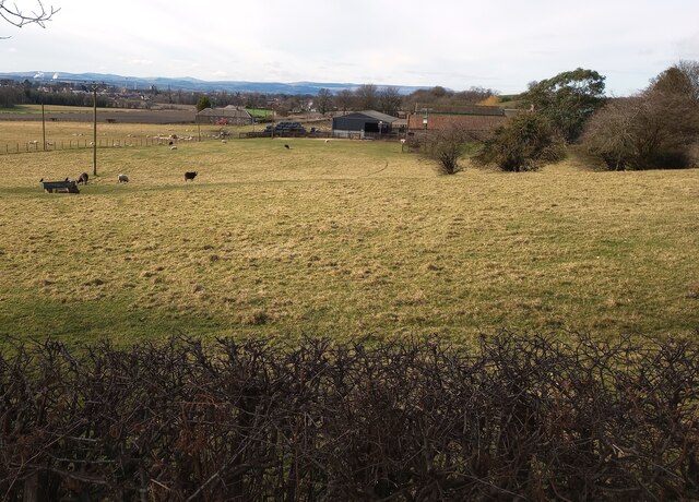
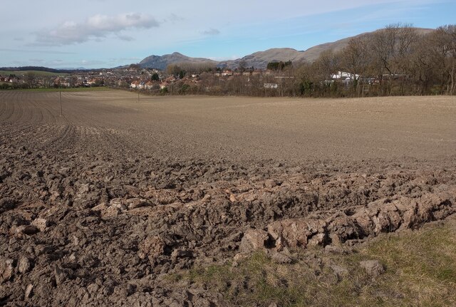
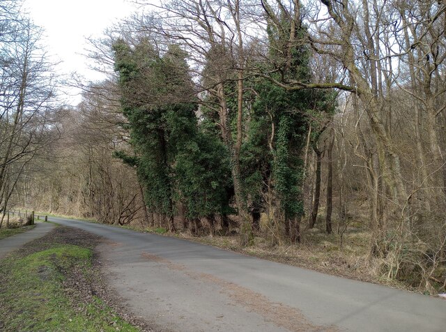
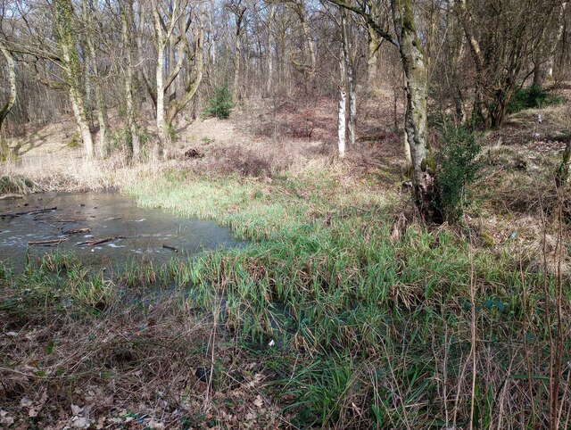
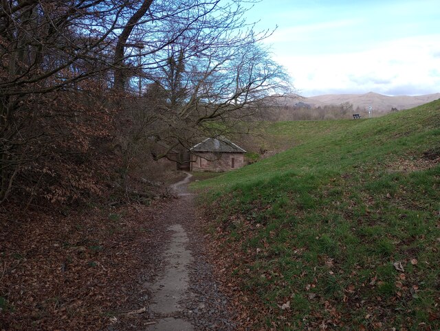
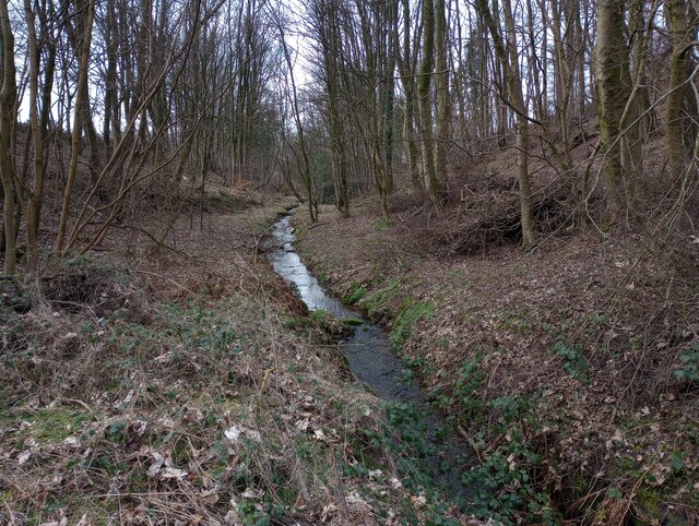
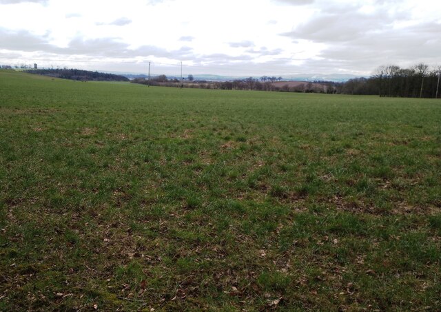
Back Wood is a small forest located in Clackmannanshire, Scotland. Situated in the heart of the county, it covers an area of approximately 50 hectares. The woodland is part of the wider Back Wood and Devon Gorge Site of Special Scientific Interest (SSSI), which is recognized for its ecological importance and biodiversity.
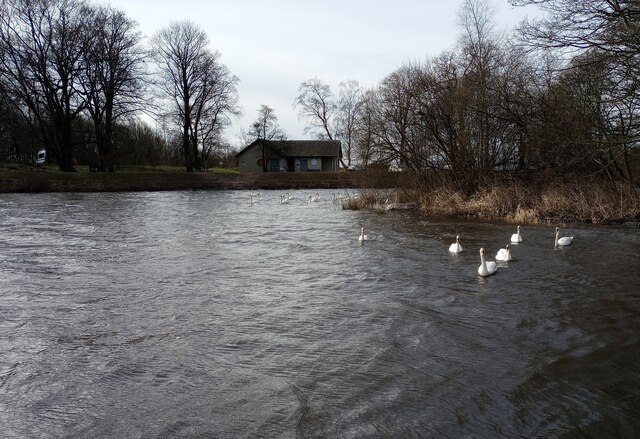
The forest is predominantly composed of native broadleaf species, such as oak, birch, and beech, creating a diverse and vibrant habitat. The dense canopy of trees provides shelter for a variety of wildlife, including birds, small mammals, and insects. It is not uncommon to spot species such as red squirrels, woodpeckers, and roe deer within the woodland.
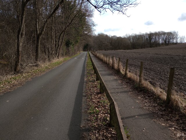
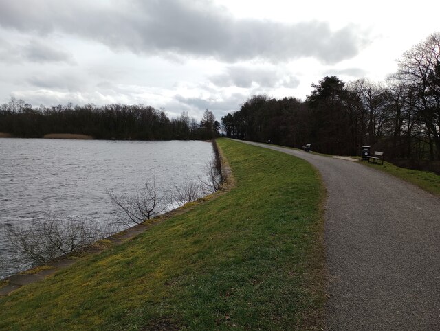
Back Wood offers several walking trails, ranging from easy strolls to more challenging hikes, allowing visitors to explore its natural beauty. The paths wind through the forest, offering stunning views of the surrounding countryside and glimpses of the Devon Gorge. There are also designated picnic areas and benches for visitors to relax and enjoy the peaceful atmosphere.
The woodland is managed by the local council, which ensures the preservation and conservation of this valuable natural resource. Regular maintenance work is carried out to control invasive species and promote the growth of native flora. Additionally, educational programs and events are organized to raise awareness about the importance of biodiversity and sustainable woodland management.
In conclusion, Back Wood is a picturesque forest in Clackmannanshire, offering a tranquil escape for nature lovers and providing a vital habitat for a wide range of plant and animal species.
If you have any feedback on the listing, please let us know in the comments section below.
Back Wood Images
Images are sourced within 2km of 56.110044/-3.7611824 or Grid Reference NS9092. Thanks to Geograph Open Source API. All images are credited.


Back Wood is located at Grid Ref: NS9092 (Lat: 56.110044, Lng: -3.7611824)
Unitary Authority: Clackmannanshire
Police Authority: Forth Valley
What 3 Words
///magazine.stars.broadcast. Near Clackmannan, Clackmannanshire
Related Wikis

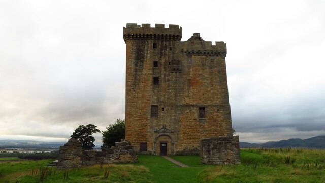
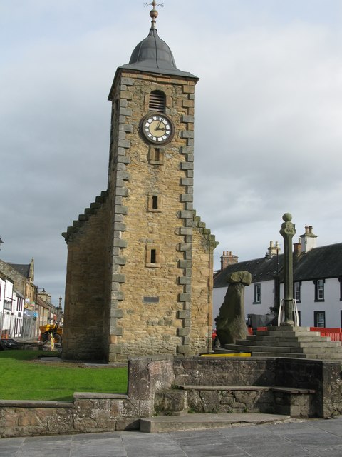
Clackmannan Tower
The Clackmannan Tower is a historic five-storey tower house situated at the summit of King's Seat Hill in Clackmannan, Clackmannanshire, Scotland. It dates...

Clackmannan House
Clackmannan House, built c. 1815, is an example of Georgian design, stone built and nestled in a secluded setting amidst garden grounds of approximately...

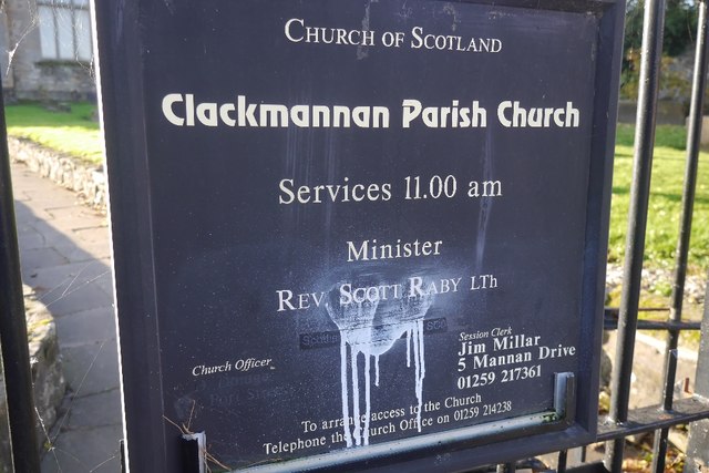
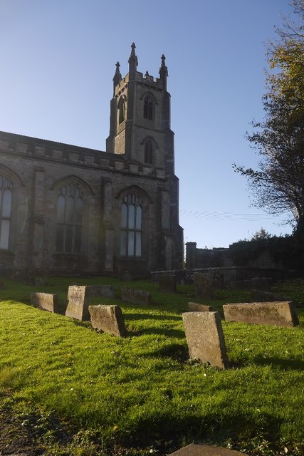
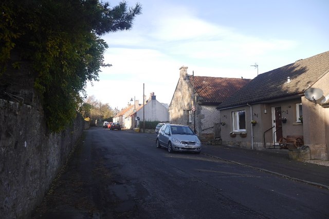
Clackmannan
Clackmannan ( ; Scottish Gaelic: Clach Mhanainn, perhaps meaning "Stone of Manau"), is a small town and civil parish set in the Central Lowlands of Scotland...

Clackmannan and Kennet railway station
Clackmannan and Kennet railway station served the town of Clackmannan, Clackmannanshire from 1893 to 1930 on the Kincardine Line. == History == The station...
Chapelhill Park
Chapelhill Park was a football ground in Clackmannan, Scotland. It was the home ground of Clackmannan F.C. from 1886 until the club folded in 1931. �...
Recreation Park, Alloa
Recreation Park, also known as Recreation Grounds, The Recs and The Indodrill Stadium for sponsorship reasons, is a football stadium in Alloa, Clackmannanshire...
Clackmannan Road railway station
Clackmannan Road railway station served the town of Clackmannan, Clackmannanshire, Scotland from 1850 to 1921 on the Stirling and Dunfermline Railway....
Upper Hirst
The Upper Hirst is a coal seam in central Scotland that was mined on a large scale in the 1950s through to 2002, mainly to supply Kincardine Power Station...
Nearby Amenities
Located within 500m of 56.110044,-3.7611824Have you been to Back Wood?
Leave your review of Back Wood below (or comments, questions and feedback).