Allan's Wood
Wood, Forest in Perthshire
Scotland
Allan's Wood
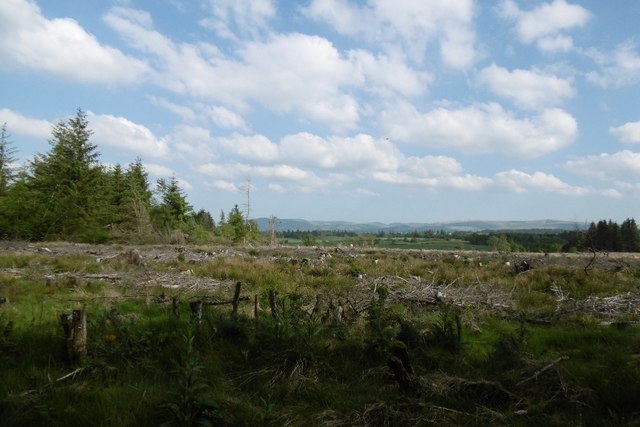
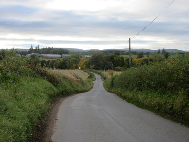
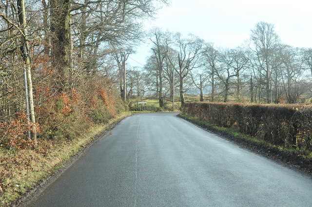
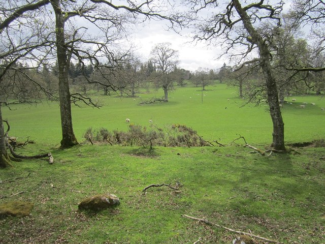
Allan's Wood is a picturesque forest located in the region of Perthshire, Scotland. Situated in the heart of the stunning countryside, this wood offers visitors a tranquil and immersive experience in nature.
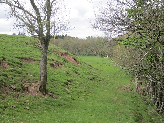
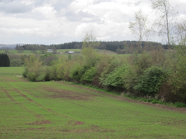
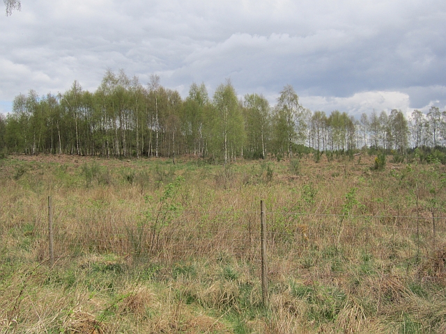
Covering an area of approximately 500 acres, Allan's Wood is a diverse and vibrant ecosystem, home to a wide range of plant and animal species. The wood is primarily composed of native trees such as oak, birch, and pine, which create a rich and varied landscape. The forest floor is adorned with a carpet of ferns, wildflowers, and mosses, adding to the enchanting atmosphere.
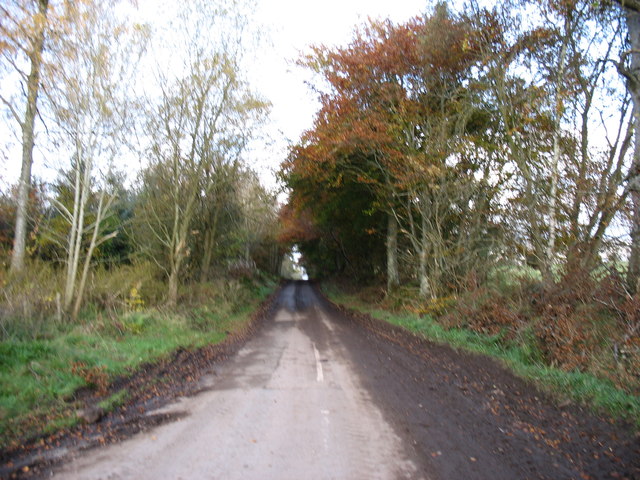
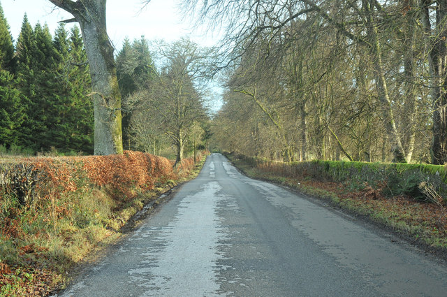
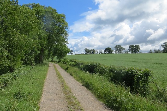
The wood is crisscrossed by a network of well-maintained trails, allowing visitors to explore its beauty at their own pace. These paths lead to hidden gems, including a charming stream that meanders through the forest, providing a soothing soundtrack to the woodland experience.
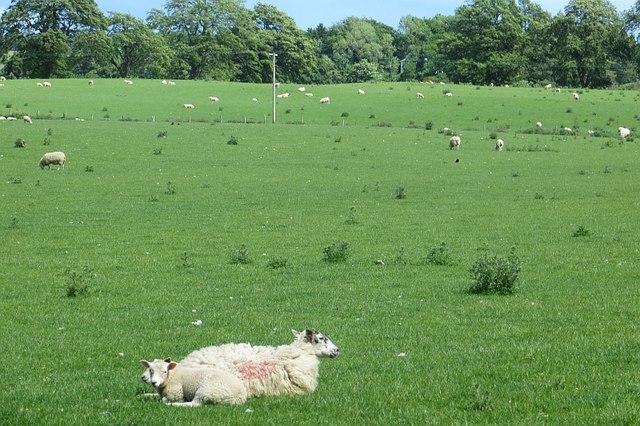
Allan's Wood is a haven for wildlife enthusiasts, as it supports a diverse array of creatures. Birdwatchers can spot species such as woodpeckers, owls, and various songbirds, while lucky visitors may even catch a glimpse of deer or red squirrels darting among the trees.
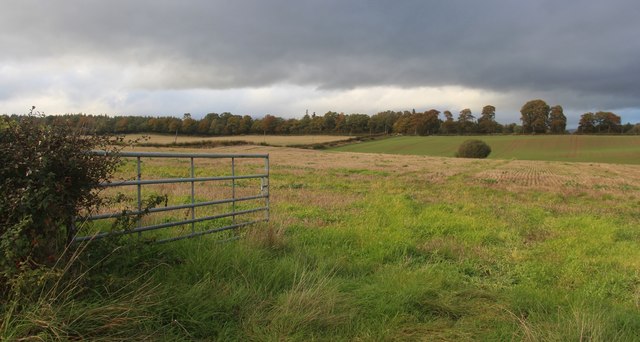
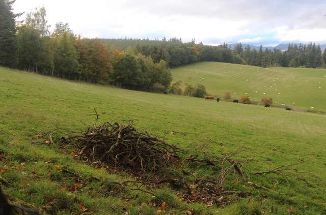
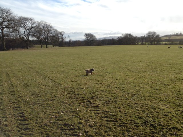
The wood is a popular destination for outdoor activities, attracting walkers, joggers, and cyclists throughout the year. Additionally, it offers excellent opportunities for photography, with breathtaking vistas and natural beauty at every turn.
Overall, Allan's Wood in Perthshire is a captivating destination for those seeking solace in nature. Its untouched beauty, diverse ecosystem, and tranquil atmosphere make it a must-visit location for outdoor enthusiasts and nature lovers alike.
If you have any feedback on the listing, please let us know in the comments section below.
Allan's Wood Images
Images are sourced within 2km of 56.329577/-3.7714445 or Grid Reference NN9016. Thanks to Geograph Open Source API. All images are credited.
Allan's Wood is located at Grid Ref: NN9016 (Lat: 56.329577, Lng: -3.7714445)
Unitary Authority: Perth and Kinross
Police Authority: Tayside
What 3 Words
///skinning.after.sped. Near Auchterarder, Perth & Kinross
Nearby Locations
Related Wikis

Muthill railway station
Muthill railway station served the village of Muthill in Scotland. The station is now the premises of James Haggart & Sons LTD (A potato grower and exporter...

Strageath
Strageath is a Roman camp near the River Earn in eastern Scotland. Strageath was one of a chain of camps that the Romans used in their march northward...
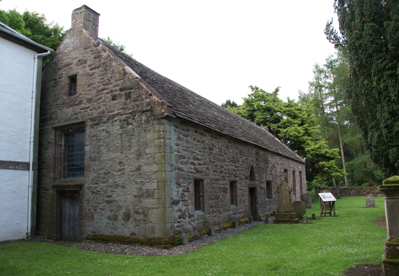
Innerpeffray Collegiate Church
Innerpeffray Collegiate Church is an ancient church building in Innerpeffray, Perth and Kinross, Scotland. Dating to 1508, it is now a scheduled monument...
Innerpeffray
Innerpeffray is a hamlet in Perthshire, Scotland, 4 miles (6.4 km) southeast of Crieff. It is located on a raised promontory among beech woodland above...
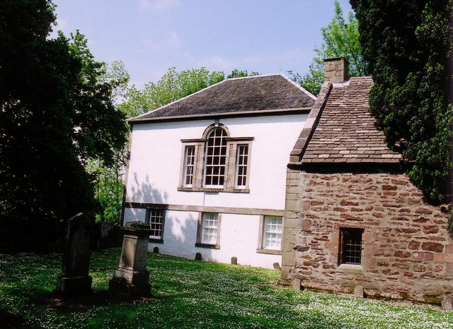
Innerpeffray Library
Innerpeffray Library was the first lending library in Scotland. It is located in the hamlet of Innerpeffray, by the River Earn in Perth and Kinross, 4...

Pow of Inchaffray
The Pow of Inchaffray (also known as the Pow Water) is a drainage ditch in Strathearn, Scotland. It is approximately 9 miles (14 km) long and drains 3...
North Mains
North Mains is a henge in Strathearn on Strathallan Estate between Crieff and Auchterarder in Perthshire, Scotland (not in the valley known as Strathallan...
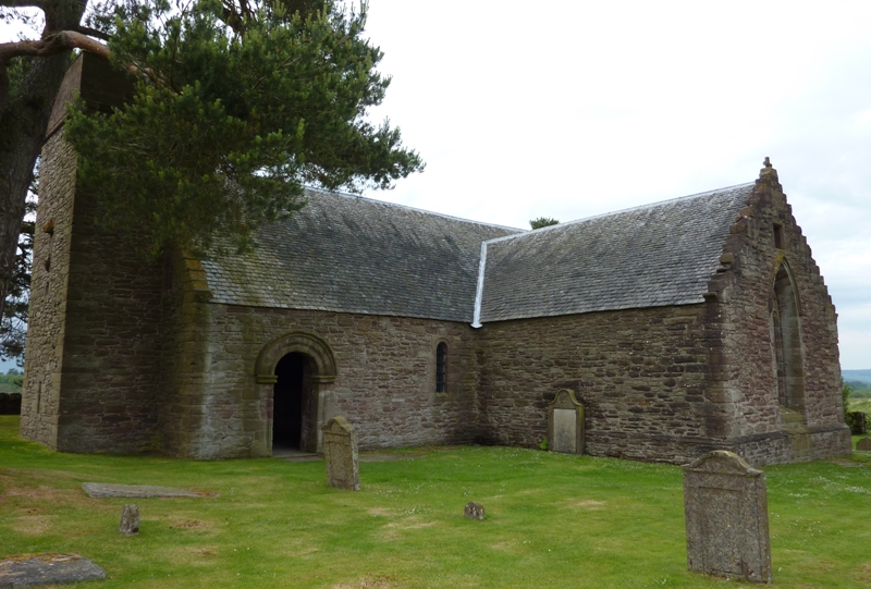
Tullibardine Chapel
Tullibardine Chapel is an ancient church building in Tullibardine, Perth and Kinross, Scotland. It is one of the most complete medieval churches in Scotland...
Related Videos

Autumn Road Trip Drive With Music To Visit To Kinkell Bridge Perthshire
Tour Scotland Autumn travel video of a road trip drive, with Scottish music, on a single track road with passing places on ancestry, ...

Road Trip Drive With Bagpipes Music On History Visit To Kinkell Bridge Perthshire Scotland
Tour Scotland 4K late Summer early Autumn travel video, with Scottish bagpipes of a road trip drive North on a narrow road on ...

Innerpeffray Library, Crieff, Perth and Kinross, Scotland
Innerpeffray Library, Crieff, Perth and Kinross, Scotland. The Innerpeffray Library, located in Perthshire, Scotland, was opened in ...
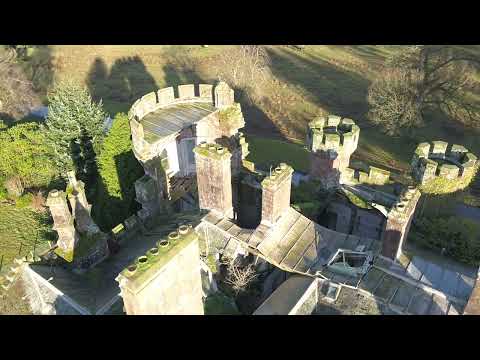
Drone Shots from Renovation Nation Show
Some drone footage kindly sent to us by @Channel4.
Nearby Amenities
Located within 500m of 56.329577,-3.7714445Have you been to Allan's Wood?
Leave your review of Allan's Wood below (or comments, questions and feedback).