Mid Plantation
Wood, Forest in West Lothian
Scotland
Mid Plantation

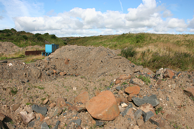
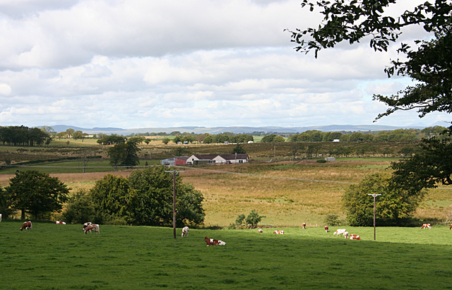
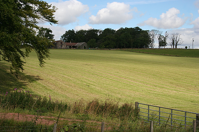
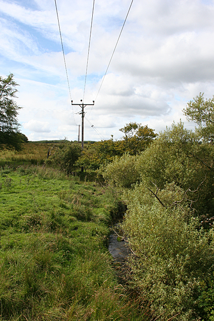
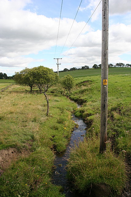
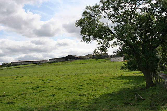
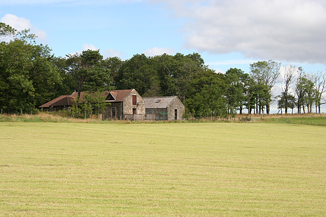
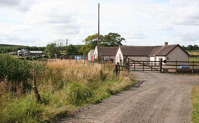
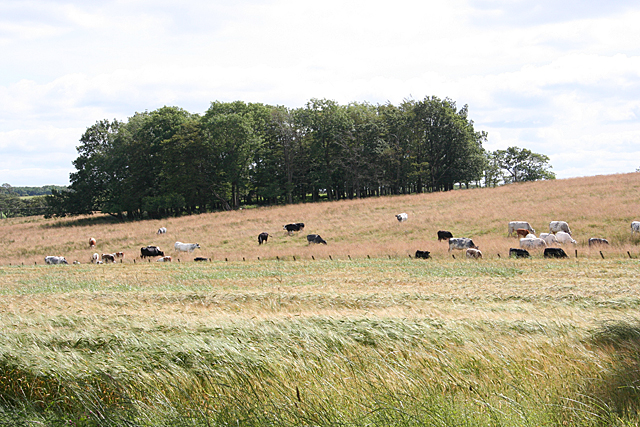
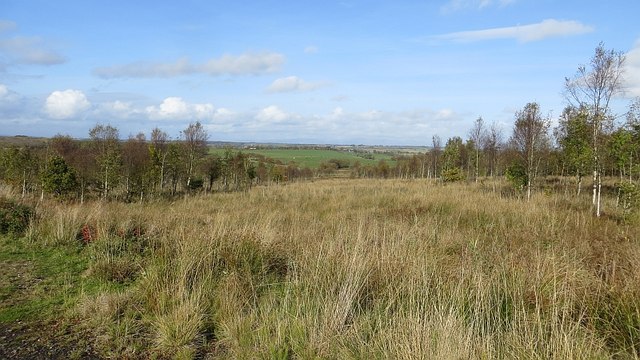
Mid Plantation is a wooded area located in West Lothian, Scotland. It is part of a larger forested region and is characterized by its dense vegetation and diverse wildlife. The plantation spans an area of approximately 100 acres and is surrounded by rolling hills and picturesque landscapes.
The woodland in Mid Plantation consists primarily of deciduous trees such as oak, beech, and birch, which provide a rich canopy cover throughout the year. The forest floor is covered in a lush carpet of ferns, mosses, and wildflowers, creating a vibrant and enchanting atmosphere.
The plantation is home to a wide variety of wildlife, making it a popular destination for nature enthusiasts and birdwatchers. Species such as red squirrels, roe deer, and foxes can be spotted roaming freely in the area. The forest also attracts a diverse array of bird species, including woodpeckers, owls, and various songbirds.
Mid Plantation offers a range of recreational activities for visitors. There are well-maintained walking trails that wind through the forest, providing opportunities for leisurely strolls and peaceful nature walks. The plantation also boasts picnic areas and viewpoints, allowing visitors to take in the scenic beauty of the surrounding countryside.
The management of Mid Plantation is overseen by local authorities, who ensure the preservation of its natural beauty and ecological balance. Efforts are made to maintain the health of the woodland through sustainable forestry practices and conservation initiatives.
Overall, Mid Plantation is a captivating woodland area in West Lothian, offering a tranquil retreat for nature lovers and a haven for diverse flora and fauna.
If you have any feedback on the listing, please let us know in the comments section below.
Mid Plantation Images
Images are sourced within 2km of 55.912533/-3.7525194 or Grid Reference NS9070. Thanks to Geograph Open Source API. All images are credited.


Mid Plantation is located at Grid Ref: NS9070 (Lat: 55.912533, Lng: -3.7525194)
Unitary Authority: West Lothian
Police Authority: The Lothians and Scottish Borders
What 3 Words
///mainframe.measure.stutter. Near Blackridge, West Lothian
Nearby Locations
Related Wikis

Avonbridge
Avonbridge (Scottish Gaelic: Drochaid na h-Aibhne) is a small village which lies within the Falkirk council area of Scotland. The village is 4.8 miles...

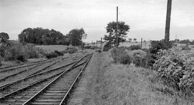
Avonbridge railway station
Avonbridge railway station was a station on the Slamannan Railway. The line connected mines and villages in the Central Scotland. == History == Opened...

Blawhorn Moss
Blawhorn Moss is a raised bog located to the northwest of the village of Blackridge, about 6 kilometres (3.7 mi) west of Armadale in the council area of...

Armadale Academy
Armadale Academy is a secondary school in Armadale, West Lothian. Opened in 1969, the academy moved to its current location in 2009. It is split into three...
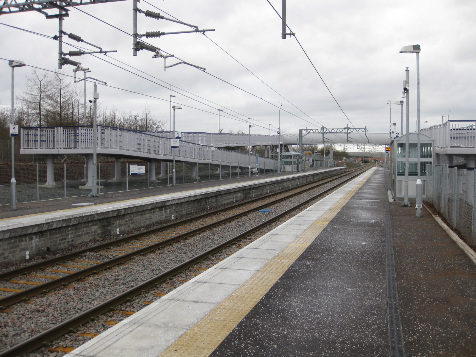
Blackridge railway station
Blackridge railway station is a railway station on the North Clyde Line. It serves the village of Blackridge in West Lothian, Scotland. == History == The...
Blackston Junction railway station
Blackston Junction railway station served the area of Blackston, Falkirk, Scotland, from 1863 to 1963 on the Slamannan Railway. == History == The station...

Blackridge, West Lothian
Blackridge (Scots: Blackrig, Scottish Gaelic: An Druim Dubh) is a small town in the western part of West Lothian, Scotland. The village name dates to 1581...
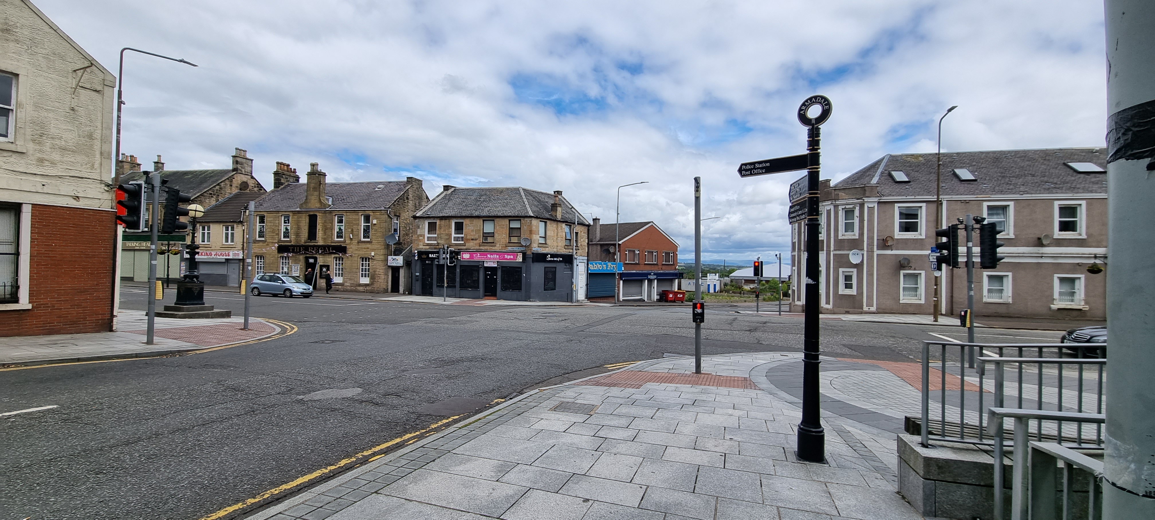
Armadale, West Lothian
Armadale (Scots: Airmadale, Scottish Gaelic: Armadal) is a town within the county of West Lothian in the Central Belt of Scotland. It lies to the west...
Have you been to Mid Plantation?
Leave your review of Mid Plantation below (or comments, questions and feedback).