North Rhodens Plantation

Wood, Forest in West Lothian

Scotland

North Rhodens Plantation

View to Wind Farm Sheep huddled at edge of field
View to Wind Farm Credit: Jim Smillie

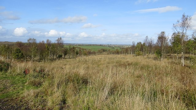
North Rhodens Plantation is a stunning woodland area located in West Lothian, Scotland. Situated in the heart of the region, this plantation is known for its picturesque landscapes and rich biodiversity. Covering an expansive area of woodland, it offers a serene escape for nature enthusiasts and outdoor lovers.

The plantation is characterized by its dense forest, consisting mainly of different species of rhododendrons, which give the area its name. These vibrant and colorful flowers bloom in abundance during the spring and early summer, creating a breathtaking sight for visitors. The plantation is also home to a wide variety of other native trees, including oak, birch, and beech, which further enhance the beauty of the landscape.

With well-maintained walking trails winding through the plantation, visitors can enjoy leisurely strolls or more adventurous hikes, immersing themselves in the natural beauty of the surroundings. The trails provide access to hidden gems within the plantation, such as tranquil ponds and small streams, adding to the peaceful ambiance of the area.

North Rhodens Plantation is a haven for wildlife, attracting a diverse range of species. Birdwatchers will be delighted to spot various species of birds, including woodpeckers, owls, and jays. The woodland also provides a habitat for mammals such as red squirrels and deer, making it an ideal spot for animal enthusiasts.

Overall, North Rhodens Plantation offers a captivating experience for those seeking tranquility and a connection with nature. Its stunning woodlands, blooming rhododendrons, and abundant wildlife make it a must-visit destination for anyone exploring the West Lothian region.

If you have any feedback on the listing, please let us know in the comments section below.

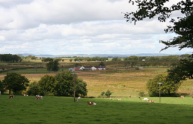
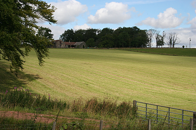
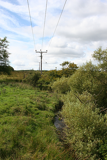
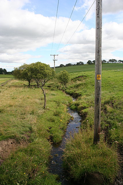
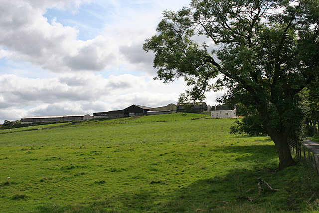
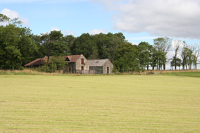
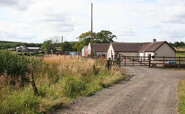
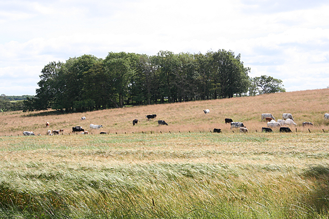
North Rhodens Plantation Images

Images are sourced within 2km of 55.914228/-3.7508518 or Grid Reference NS9070. Thanks to Geograph Open Source API. All images are credited.

View to Wind Farm Sheep huddled at edge of field
View to Wind Farm
Sheep huddled at edge of field
Turbine at Drumduff Windfarm Not being one to pore over detailed maps before heading out I assumed that the three turbines at Drumduff were part of the larger development at Burnhead, just North of here. The small windfarm is situated on the site of a former opencast coal mine. It has all been tidied up pretty well but the landscape still betrays its past, and is quite spellbinding in an industrial way. On the whole I'm all in favour of windfarms, though if several were proposed in my immediate vicinity I would probably be as hypocritical as most people! Here it seems to add to the surroundings. I always think it helps if they exist amongst what would be interesting enough surroundings anyway; it's when they are located in relatively featureless areas that they are at their bleakest.
It is getting increasingly difficult to find accurate information for free online about a particular windfarm - a lot of independent data sites now require a subscription. From what I can gather though, the height of the turbines to blade tip is around 120 metres and their combined power generation comes in at somewhere between 6 and 8.55MW. The electricity reaches the grid via a big substation at Avonbridge three or four miles away.
As usual with windfarms the ownership is a bit complicated. A company called Green Power, based in Alloa, owns a company called Green Breeze Energy which owns and manages this windfarm only. The bank Santander seems to be involved behind the scenes, though, making up the majority of the board at present.
Turbine at Drumduff Windfarm
Not being one to pore over detailed maps before heading out I assumed that the three turbines at Drumduff were part of the larger development at Burnhead, just North of here. The small windfarm is situated on the site of a former opencast coal mine. It has all been tidied up pretty well but the landscape still betrays its past, and is quite spellbinding in an industrial way. On the whole I'm all in favour of windfarms, though if several were proposed in my immediate vicinity I would probably be as hypocritical as most people! Here it seems to add to the surroundings. I always think it helps if they exist amongst what would be interesting enough surroundings anyway; it's when they are located in relatively featureless areas that they are at their bleakest. It is getting increasingly difficult to find accurate information for free online about a particular windfarm - a lot of independent data sites now require a subscription. From what I can gather though, the height of the turbines to blade tip is around 120 metres and their combined power generation comes in at somewhere between 6 and 8.55MW. The electricity reaches the grid via a big substation at Avonbridge three or four miles away. As usual with windfarms the ownership is a bit complicated. A company called Green Power, based in Alloa, owns a company called Green Breeze Energy which owns and manages this windfarm only. The bank Santander seems to be involved behind the scenes, though, making up the majority of the board at present.
Farm Ruins at Burnhead This farm was in use - or at the very least a farm was in use at this spot - for either about 200 years, or 400 years plus.
The confusion arises because maps from around 1800 up until the first OS map surveyed in the 1850s refer to this place as Easter Burnhead (the layout of the buildings is pretty much the same now as on that first OS map), no doubt to differentiate it from the nearby Wester Burnhead which these maps also show. All subsequent maps, and most pertinently those before 1800, only show a Burnhead though. So it is certainly possible that Wester Burnhead was the original Burnhead, and impossible to prove one way or the other due to the small scale of the early mapping. The original Burnhead pre-dates the oldest available online map of the area, which was drawn up around 1590.
Apart from descriptions of both Wester and Easter Burnhead in the OS naming books which were compiled alongside their initial maps - a kind of gazetteer for every local area - I have found absolutely nothing about Burnhead online. Nor are there any pictures.
While I understand the reasons why ruins like this are hardly ever afforded protected status, as opposed to, say, an unimpressive jumble of stones next to a small grassy mound believed to date from the early mediaeval period - principally there are numerous still-standing versions of the former about, along with a great deal of contemporary writing - I do think a few of these should be designated in every local area as they do greatly enhance the wonder of exploring the countryside.
Farm Ruins at Burnhead
This farm was in use - or at the very least a farm was in use at this spot - for either about 200 years, or 400 years plus. The confusion arises because maps from around 1800 up until the first OS map surveyed in the 1850s refer to this place as Easter Burnhead (the layout of the buildings is pretty much the same now as on that first OS map), no doubt to differentiate it from the nearby Wester Burnhead which these maps also show. All subsequent maps, and most pertinently those before 1800, only show a Burnhead though. So it is certainly possible that Wester Burnhead was the original Burnhead, and impossible to prove one way or the other due to the small scale of the early mapping. The original Burnhead pre-dates the oldest available online map of the area, which was drawn up around 1590. Apart from descriptions of both Wester and Easter Burnhead in the OS naming books which were compiled alongside their initial maps - a kind of gazetteer for every local area - I have found absolutely nothing about Burnhead online. Nor are there any pictures. While I understand the reasons why ruins like this are hardly ever afforded protected status, as opposed to, say, an unimpressive jumble of stones next to a small grassy mound believed to date from the early mediaeval period - principally there are numerous still-standing versions of the former about, along with a great deal of contemporary writing - I do think a few of these should be designated in every local area as they do greatly enhance the wonder of exploring the countryside.
Burnhead Moss wind farm from the air Some of the thirteen turbines at wind farm which is located west of Armadale.
Burnhead Moss wind farm from the air
Some of the thirteen turbines at wind farm which is located west of Armadale.
North-East Holehouse There are four houses on the lands of Holehouse, and this one is marked on the map as North-East Holehouse in spite of the fact that it is south-west of Holehouse! The land in the low ground in front of the house looks very rushy and is probably wet.
North-East Holehouse
There are four houses on the lands of Holehouse, and this one is marked on the map as North-East Holehouse in spite of the fact that it is south-west of Holehouse! The land in the low ground in front of the house looks very rushy and is probably wet.
Field at Holehouse The field sloping up from the burn to Holehouse looks as if it has yielded a crop of hay or silage.
Field at Holehouse
The field sloping up from the burn to Holehouse looks as if it has yielded a crop of hay or silage.
Burn near Holehouse The burn is unnamed on the map. It drains the Black Loch into the River Avon. This is looking upstream from <a href="https://www.geograph.org.uk/photo/4468429">NS8971 : Bridge south of Holehouse</a>.
Burn near Holehouse
The burn is unnamed on the map. It drains the Black Loch into the River Avon. This is looking upstream from NS8971 : Bridge south of Holehouse.
Burn near Holehouse The burn is unnamed on the map. It drains the Black Loch into the River Avon. This is looking downstream from <a href="https://www.geograph.org.uk/photo/4468429">NS8971 : Bridge south of Holehouse</a>.
Burn near Holehouse
The burn is unnamed on the map. It drains the Black Loch into the River Avon. This is looking downstream from NS8971 : Bridge south of Holehouse.
Easter Greenhill Looking uphill to Easter Greenhill from <a href="https://www.geograph.org.uk/photo/4468429">NS8971 : Bridge south of Holehouse</a>.
Easter Greenhill
Looking uphill to Easter Greenhill from NS8971 : Bridge south of Holehouse.
Holehouse It looks as if the buildings at Holehouse have been restored or renovated for use as housing.
Holehouse
It looks as if the buildings at Holehouse have been restored or renovated for use as housing.
South and North-East Holehouse The modern house nearer the camera is North-East Holehouse, and further away is South Holehouse.
South and North-East Holehouse
The modern house nearer the camera is North-East Holehouse, and further away is South Holehouse.
Beasts Beyond the Barley The crop in the nearer field is barley, separated from the grazing cattle by a stout fence.
Beasts Beyond the Barley
The crop in the nearer field is barley, separated from the grazing cattle by a stout fence.
Pipeline ride An unplanted strip along the line of a gas plantation.
Pipeline ride
An unplanted strip along the line of a gas plantation.
Drumduff Wind Farm One of three turbines that have been supplying energy since 2017.
Drumduff Wind Farm
One of three turbines that have been supplying energy since 2017.
Wind turbines north of Blackridge Four of the Burnhead wind farm's turbines.
Wind turbines north of Blackridge
Four of the Burnhead wind farm's turbines.
Drumduff Windfarm A wind turbine base and control room, and three turbines of the Burnhead windfarm.
Drumduff Windfarm
A wind turbine base and control room, and three turbines of the Burnhead windfarm.
Making hay: The sun's not shining Hay lying after recent wet weather. Hopefully a dry spell might result in it being baled
Making hay: The sun's not shining
Hay lying after recent wet weather. Hopefully a dry spell might result in it being baled
Minor road: West Lothian Road between Blackridge and Avonbridge approaching Heights Farm
Minor road: West Lothian
Road between Blackridge and Avonbridge approaching Heights Farm
Show me another place!

North Rhodens Plantation is located at Grid Ref: NS9070 (Lat: 55.914228, Lng: -3.7508518)

Unitary Authority: West Lothian

Police Authority: The Lothians and Scottish Borders

What 3 Words

///awoke.offline.recur. Near Blackridge, West Lothian

Related Wikis

Avonbridge

Avonbridge (Scottish Gaelic: Drochaid na h-Aibhne) is a small village which lies within the Falkirk council area of Scotland. The village is 4.8 miles...

Avonbridge railway station

Avonbridge railway station was a station on the Slamannan Railway. The line connected mines and villages in the Central Scotland. == History == Opened...

Blackston Junction railway station

Blackston Junction railway station served the area of Blackston, Falkirk, Scotland, from 1863 to 1963 on the Slamannan Railway. == History == The station...

Blawhorn Moss

Blawhorn Moss is a raised bog located to the northwest of the village of Blackridge, about 6 kilometres (3.7 mi) west of Armadale in the council area of...

Have you been to North Rhodens Plantation?

Leave your review of North Rhodens Plantation below (or comments, questions and feedback).