Kirk Hill

Hill, Mountain in Perthshire

Scotland

Kirk Hill

Culdees Castle May 2017 This is part of the original Culdees Castle designed by James Gillespie Graham.
Culdees Castle May 2017 Credit: Andrew Scobie

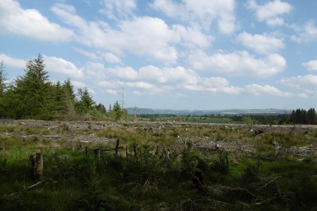
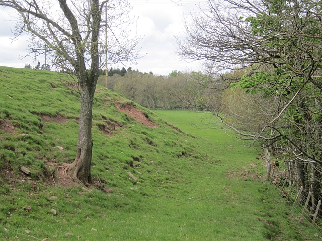
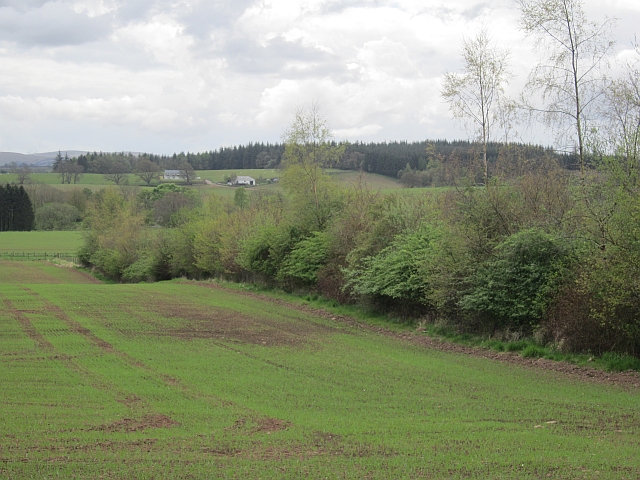
Kirk Hill, located in Perthshire, Scotland, is a prominent hill that offers stunning views and outdoor recreational opportunities. Standing at an elevation of approximately 1,370 feet (420 meters), it is situated near the village of Stanley, just north of the city of Perth.

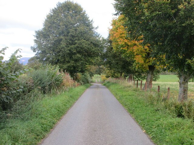
This hill is a popular destination for hikers, nature enthusiasts, and those seeking panoramic vistas. The ascent to the summit is relatively moderate, making it accessible to people of various fitness levels. The path is well-maintained and clearly marked, ensuring a safe and enjoyable experience for visitors.

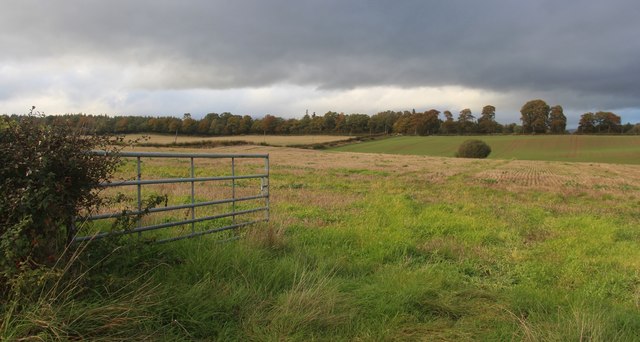
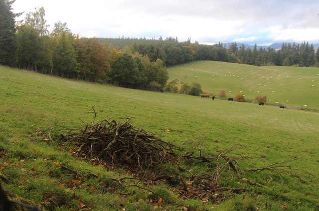
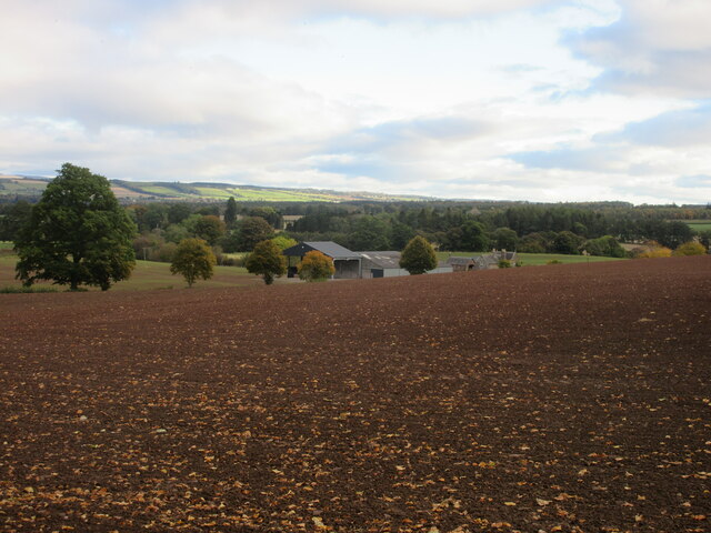
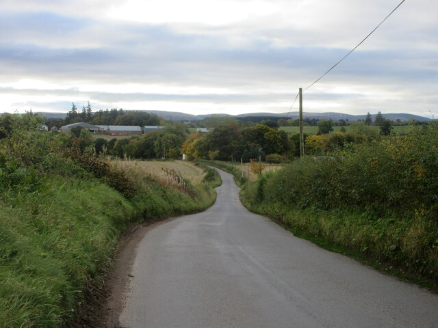
At the top of Kirk Hill, visitors are rewarded with breathtaking views of the surrounding countryside, including the picturesque River Tay and the rolling hills of Perthshire. On clear days, it is even possible to see as far as the Grampian Mountains to the north.

The hill is adorned with a variety of flora and fauna, adding to its natural beauty. Wildflowers, including heather and bluebells, dot the landscape, creating a colorful spectacle during the spring and summer months. It is also home to a diverse range of wildlife, such as red squirrels, roe deer, and various bird species.

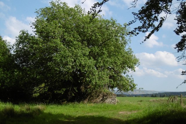
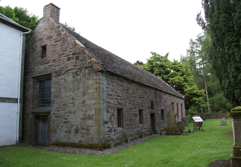
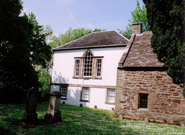
Kirk Hill is not only a destination for outdoor enthusiasts but also a place of historical significance. The hill is crowned by a small ruined chapel, believed to date back to the 12th century. This ancient structure adds a touch of intrigue and history to the site, making it an even more intriguing place to explore.

Overall, Kirk Hill in Perthshire is a captivating natural landmark that combines stunning vistas, diverse wildlife, and a touch of history, making it a must-visit destination for those seeking a memorable outdoor experience.

If you have any feedback on the listing, please let us know in the comments section below.
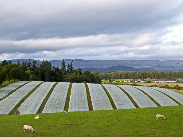
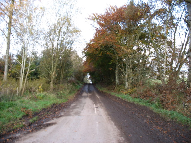
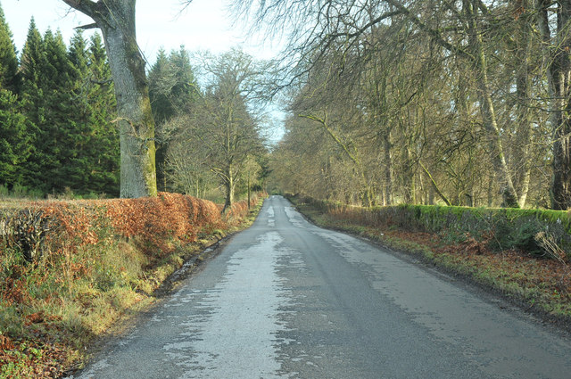
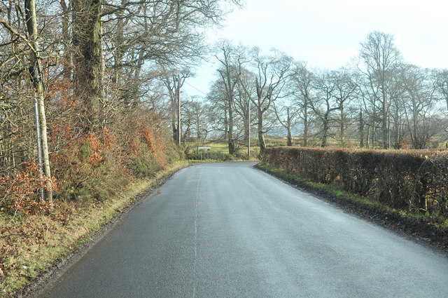
Kirk Hill Images

Images are sourced within 2km of 56.327482/-3.7778168 or Grid Reference NN9016. Thanks to Geograph Open Source API. All images are credited.

Culdees Castle May 2017 This is part of the original Culdees Castle designed by James Gillespie Graham.
Culdees Castle May 2017
This is part of the original Culdees Castle designed by James Gillespie Graham.
Crofthead Wood A big clear felled area.
Crofthead Wood
A big clear felled area.
Luckarthow Ruin on the edge of Crofthead Wood.
Luckarthow
Ruin on the edge of Crofthead Wood.
Luckarthow A ruin beside Crofthead Wood.
Luckarthow
A ruin beside Crofthead Wood.
Field access at Ladyston
Entrance to Preston Park
Sloping pastures by Drumness Wood
Road near Strageath Mains Minor road near the entrance to Strageath Mains.
Road near Strageath Mains
Minor road near the entrance to Strageath Mains.
Parkhead Farm A distant view of Parkhead from the south-west.
Parkhead Farm
A distant view of Parkhead from the south-west.
C457 (Perth and Kinross) Road near Caerlaverock The C457 road heading southwards towards the junction with the C458 road near the Machany Water.
C457 (Perth and Kinross) Road near Caerlaverock
The C457 road heading southwards towards the junction with the C458 road near the Machany Water.
Farmland near Crofthead Mixed farming near Crofthead, with grazing land in the foreground, and crops protected by agricultural fleece in the middle-distance.
Farmland near Crofthead
Mixed farming near Crofthead, with grazing land in the foreground, and crops protected by agricultural fleece in the middle-distance.
In the Culdees Estate
The lane to Strageath This minor lane goes to Strageath Mains <a href="https://www.geograph.org.uk/gridref/NN8918">NN8918</a>, and then reaches the River Earn <a href="https://www.geograph.org.uk/gridref/NN8818">NN8818</a>. There is a ford there, but I doubt that it is a practicable crossing!
The lane to Strageath
This minor lane goes to Strageath Mains NN8918, and then reaches the River Earn NN8818. There is a ford there, but I doubt that it is a practicable crossing!
Minor road at Pirnhill
Minor road near Milton of Machany
Field, Drumness Beside the Machany Water.
Field, Drumness
Beside the Machany Water.
Arable land, Caerlaverock There is a substantial farm here near the site of Muthil Station.
Arable land, Caerlaverock
There is a substantial farm here near the site of Muthil Station.
Pirnhill Plantation Mature conifers west of a logging road.
Pirnhill Plantation
Mature conifers west of a logging road.
Show me another place!

Kirk Hill is located at Grid Ref: NN9016 (Lat: 56.327482, Lng: -3.7778168)

Unitary Authority: Perth and Kinross

Police Authority: Tayside

What 3 Words

///prospers.cartoons.thinnest. Near Auchterarder, Perth & Kinross

Nearby Locations

Kirk Hill Allan's Wood

Related Wikis

Muthill railway station

Muthill railway station served the village of Muthill in Scotland. The station is now the premises of James Haggart & Sons LTD (A potato grower and exporter...

Strageath

Strageath is a Roman camp near the River Earn in eastern Scotland. Strageath was one of a chain of camps that the Romans used in their march northward...

Innerpeffray Collegiate Church

Innerpeffray Collegiate Church is an ancient church building in Innerpeffray, Perth and Kinross, Scotland. Dating to 1508, it is now a scheduled monument...

Innerpeffray

Innerpeffray is a hamlet in Perthshire, Scotland, 4 miles (6.4 km) southeast of Crieff. It is located on a raised promontory among beech woodland above...

Nearby Amenities

Located within 500m of 56.327482,-3.7778168
Give Way
Direction: backward
Lat/Long: 56.3246686/-3.7822423
Power: pole
Lat/Long: 56.3238964/-3.7826991
Power: pole
Lat/Long: 56.3244129/-3.7829694
Power: pole
Lat/Long: 56.3245639/-3.7761312
Power: pole
Lat/Long: 56.3288142/-3.7770502
Power: pole
Lat/Long: 56.3287923/-3.7778007
Power: pole
Lat/Long: 56.3287715/-3.7790524
Power: pole
Lat/Long: 56.3286044/-3.7802707
The data included in this document is from www.openstreetmap.org. The data is made available under ODbL.

Have you been to Kirk Hill?

Leave your review of Kirk Hill below (or comments, questions and feedback).