Glensone Wood
Wood, Forest in Kirkcudbrightshire
Scotland
Glensone Wood
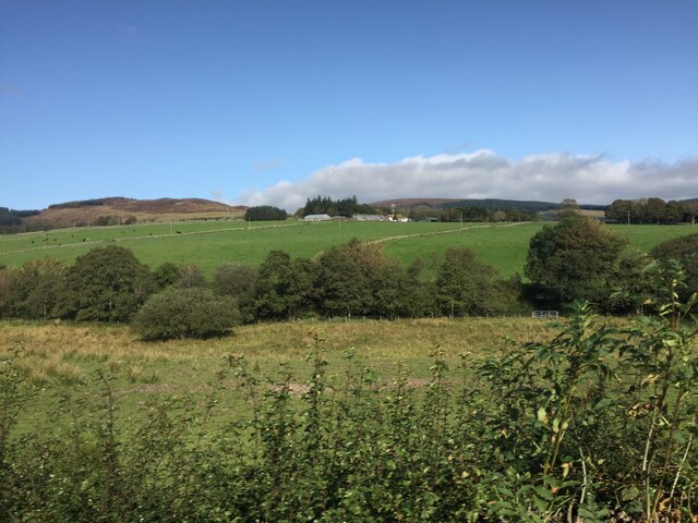
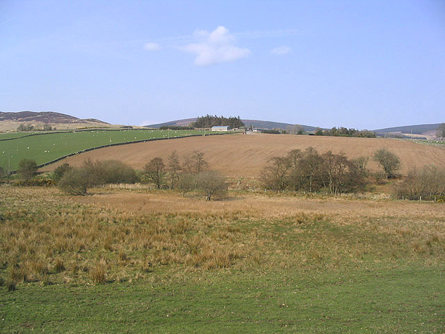
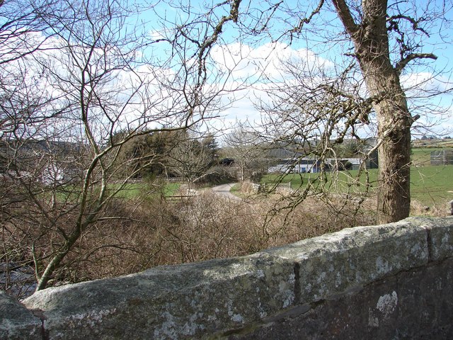
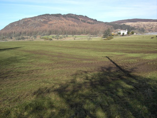
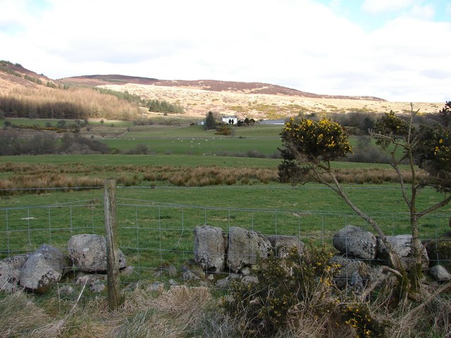
Glensone Wood is a pristine forest located in the picturesque region of Kirkcudbrightshire, Scotland. Covering an area of approximately 500 acres, it is nestled within the beautiful Glenkens valley, offering a captivating natural retreat for visitors and locals alike.
The woodland is predominantly composed of native tree species, such as oak, birch, and pine, which create a diverse and vibrant ecosystem. The lush undergrowth is carpeted with ferns, woodland flowers, and mosses, adding to the enchanting atmosphere of the wood. Glensone Wood is home to a wide variety of wildlife, including red squirrels, roe deer, and a plethora of bird species, making it a haven for nature enthusiasts and birdwatchers.
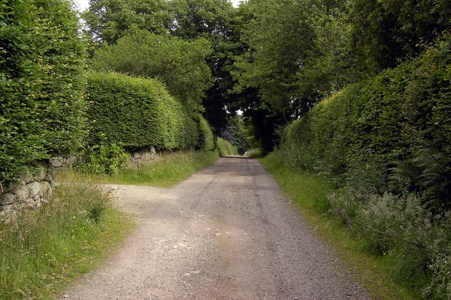
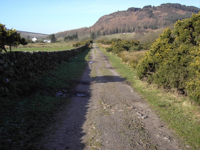
The wood is crisscrossed by well-maintained footpaths and trails, allowing visitors to explore its natural wonders at their own pace. One of the highlights is the Glensone Loop, a circular trail that takes hikers through the heart of the woodland, offering breathtaking views of the surrounding hills and valleys. The trail is suitable for all levels of fitness and provides a great opportunity to immerse oneself in the tranquility of nature.
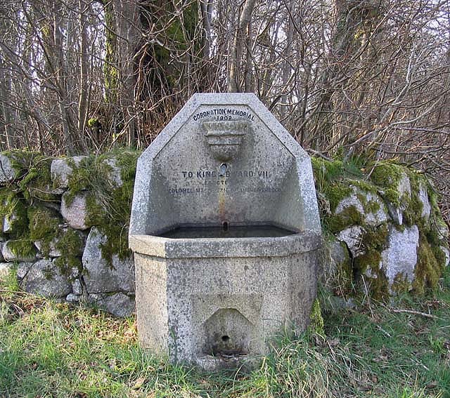
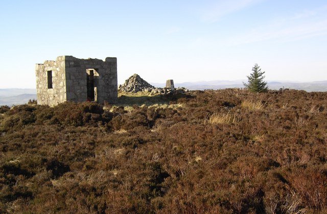
Glensone Wood is also known for its historical significance. The remnants of ancient settlements and archaeological sites, including a prehistoric fort and standing stones, can be found scattered throughout the wood, providing a glimpse into the area's rich past.
Overall, Glensone Wood is a hidden gem in Kirkcudbrightshire, offering a perfect blend of natural beauty, wildlife, and historical intrigue. It is a place where visitors can escape the hustle and bustle of everyday life and reconnect with the wonders of the natural world.
If you have any feedback on the listing, please let us know in the comments section below.
Glensone Wood Images
Images are sourced within 2km of 54.921974/-3.7076115 or Grid Reference NX9059. Thanks to Geograph Open Source API. All images are credited.


Glensone Wood is located at Grid Ref: NX9059 (Lat: 54.921974, Lng: -3.7076115)
Unitary Authority: Dumfries and Galloway
Police Authority: Dumfries and Galloway
What 3 Words
///tanked.coconuts.treatable. Near Dalbeattie, Dumfries & Galloway
Nearby Locations
Related Wikis

Criffel
Criffel is a hill in the historical county of Kirkcudbrightshire, Dumfries and Galloway, south-west Scotland. It is 570 m (1,870 ft) high but appears higher...

Southwick railway station (Scotland)
Southwick (Dumfries & Galloway) railway station served the civil parish of Colvend and Southwick, Dumfries and Galloway, Scotland from 1859 to 1965 on...

Colvend and Southwick
Colvend and Southwick is a community council area and civil parish within the Stewartry area of Dumfries and Galloway, Scotland. It is also part of the...

Kirkbean
Kirkbean (Scottish Gaelic: Cille Bheathain) is a Scottish village and civil parish on the Solway Firth, in the historic county of Kirkcudbrightshire and...

Dalbeattie Star F.C.
Dalbeattie Star Football Club is a Scottish association football club based in Dalbeattie, Dumfries and Galloway. It currently competes in the South of...

Kirkgunzeon railway station
Kirkgunzeon railway station served the village of Kirkgunzeon, Dumfries and Galloway, Scotland from 1859 to 1950 on the Castle Douglas and Dumfries Railway...

Dalbeattie
Dalbeattie (, Scots: Dawbeattie, Scottish Gaelic: Dail Bheithe meaning 'haugh of the birch' or Dail bhàite 'drowned (i.e. liable to flood) haugh') is a...
Dalbeattie Town Hall
Dalbeattie Town Hall is a municipal building in the High Street in Dalbeattie, Dumfries and Galloway, Scotland. The structure, which is used as community...
Nearby Amenities
Located within 500m of 54.921974,-3.7076115Have you been to Glensone Wood?
Leave your review of Glensone Wood below (or comments, questions and feedback).