Shothill Plantation
Wood, Forest in Kirkcudbrightshire
Scotland
Shothill Plantation
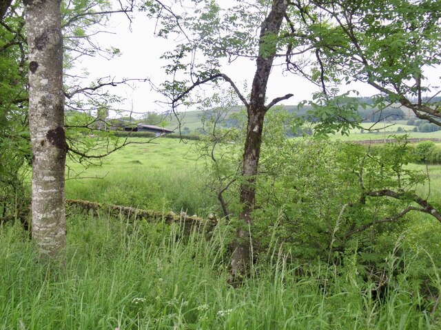
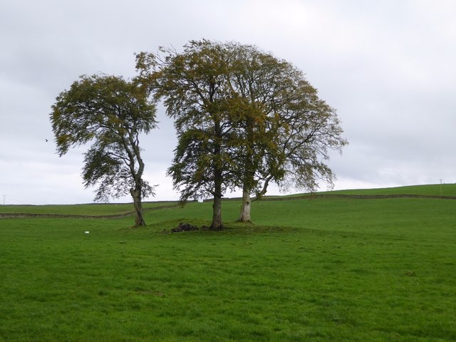
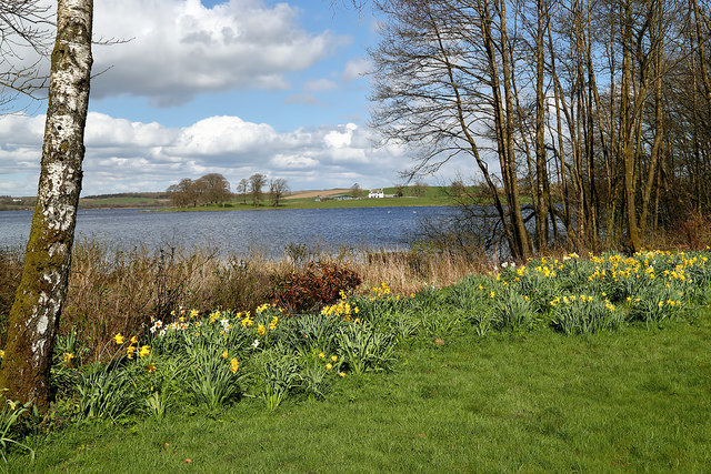
Shothill Plantation is a picturesque woodland located in the region of Kirkcudbrightshire, Scotland. Covering an area of approximately 100 acres, this plantation is a haven for nature enthusiasts and offers a serene escape from the hustle and bustle of city life.
The plantation primarily consists of a mix of coniferous and deciduous trees, creating a diverse and vibrant ecosystem. It is home to a variety of tree species, including Scots pine, oak, beech, and birch, among others. This rich vegetation provides an ideal habitat for numerous bird species, including woodpeckers, owls, and various songbirds, making it a popular destination for birdwatchers.
The terrain of Shothill Plantation is relatively hilly, with some areas featuring gentle slopes and others steeper gradients. This topography adds to the charm of the woodland and provides visitors with scenic viewpoints to enjoy the surrounding countryside.
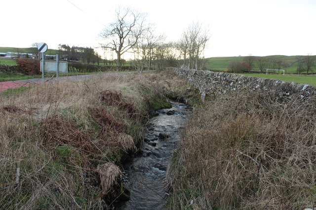
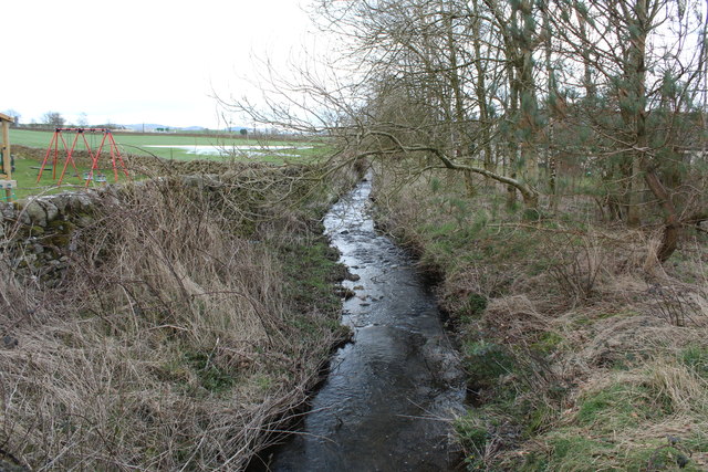
Several paths and trails wind their way through the plantation, allowing visitors to explore the area at their own pace. These trails are well-maintained and provide opportunities for walking, jogging, or cycling. Along the way, visitors may come across small streams, adding to the tranquility of the surroundings.
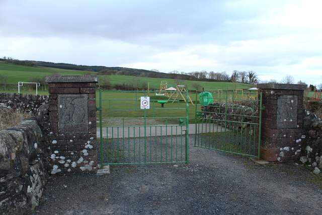
Shothill Plantation is open to the public throughout the year and is managed by local authorities to ensure its preservation and accessibility. It provides an excellent opportunity for nature lovers to immerse themselves in the beauty of Kirkcudbrightshire's natural landscape and enjoy the peace and serenity offered by this enchanting woodland.
If you have any feedback on the listing, please let us know in the comments section below.
Shothill Plantation Images
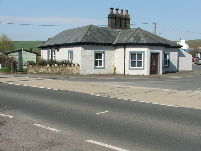
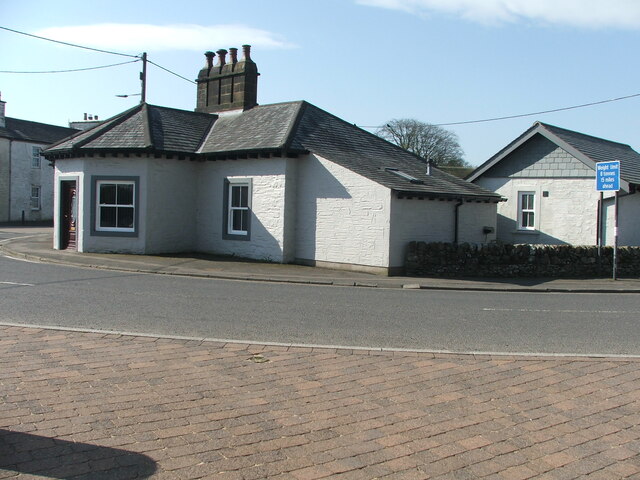
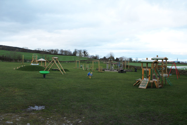
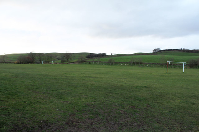
Images are sourced within 2km of 55.036229/-3.821933 or Grid Reference NX8372. Thanks to Geograph Open Source API. All images are credited.

Shothill Plantation is located at Grid Ref: NX8372 (Lat: 55.036229, Lng: -3.821933)
Unitary Authority: Dumfries and Galloway
Police Authority: Dumfries and Galloway
What 3 Words
///mice.abacus.unleashed. Near Dalbeattie, Dumfries & Galloway
Nearby Locations
Related Wikis

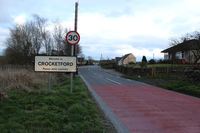
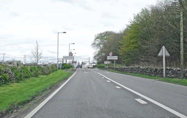
Crocketford
Crocketford (/ˈkrɒkɪtfɔːd/, also frequently /ˈkrɒkɪtfəd/) also known as Ninemile Bar (Scottish Gaelic: Ath Crogaid), as it is approximately equidistant...
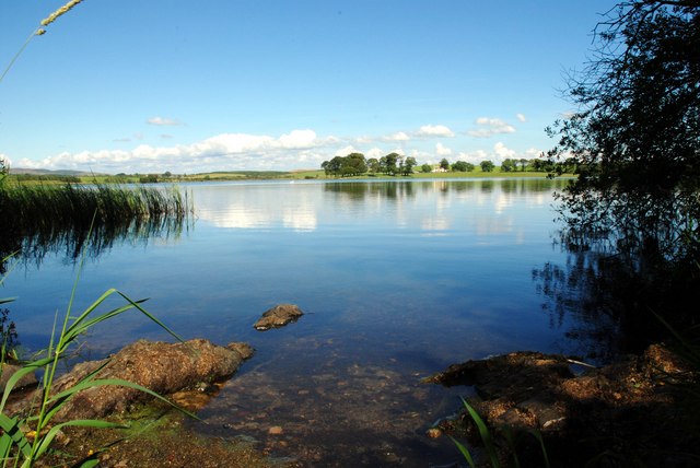
Milton Loch
Milton Loch is an alkaline freshwater loch located in Dumfries and Galloway, Scotland. In the loch and nearby are archaeological sites including three...

Springholm
Springholm is a village in the historical county of Kirkcudbrightshire in Dumfries and Galloway, Scotland. It is located 14 miles (23 km) west of Dumfries...

Glenkiln Sculpture Park
Glenkiln Sculpture Park was a sculpture landscape in the historic county of Kirkcudbrightshire in Dumfries and Galloway, south-west Scotland. After one...
Nearby Amenities
Located within 500m of 55.036229,-3.821933Have you been to Shothill Plantation?
Leave your review of Shothill Plantation below (or comments, questions and feedback).