Shot Hill

Hill, Mountain in Kirkcudbrightshire

Scotland

Shot Hill

Curious walling close to Brooklands The high wall to the right of the road (A712), west of Crocketford is unusual. It has three sections, all crenellated with the centre one being taller than the others. The part nearest to the camera has a small, now roofless building incorporated into the rear. The structure stands opposite to the entrance to the property at Brooklands.
A possible folly?
Curious walling close to Brooklands Credit: Trevor Littlewood

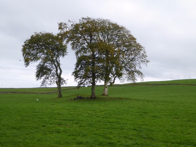
Shot Hill is a prominent hill located in the historical county of Kirkcudbrightshire, in the southwestern region of Scotland. Rising to an elevation of approximately 257 meters (843 feet), it is a notable landmark in the area.

Situated near the town of Kirkcudbright, Shot Hill offers breathtaking panoramic views of the surrounding countryside, including the rolling hills, lush green fields, and picturesque coastline. On a clear day, it is possible to see as far as the Solway Firth and even parts of the Lake District in England.

The hill is easily accessible through a network of well-maintained footpaths, making it a popular destination for hikers, nature enthusiasts, and locals looking for a peaceful retreat. The trail leading to the summit is relatively moderate, offering a pleasant and invigorating outdoor experience.

Shot Hill is also known for its diverse flora and fauna. The hillside is covered with heather, bracken, and various wildflowers, providing a colorful sight during the summer months. Birdwatchers can spot a variety of species, including buzzards, pheasants, and skylarks, while small mammals such as rabbits and hares can be seen darting across the landscape.

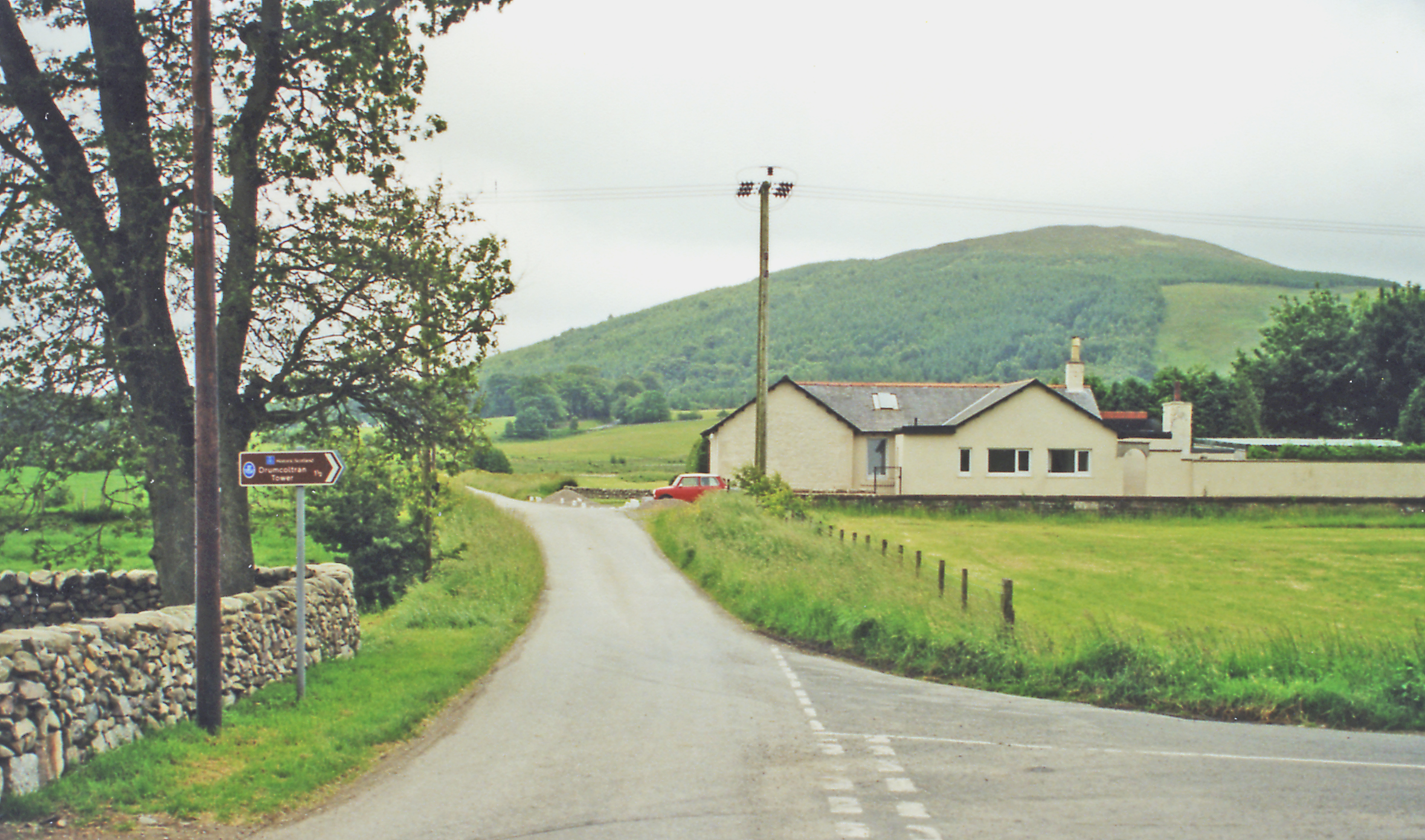
The hill holds historical significance as well, with remnants of Iron Age forts and ancient settlements scattered throughout its slopes. Archaeological excavations have uncovered artifacts and evidence of human occupation dating back thousands of years.

Overall, Shot Hill is a remarkable natural landmark, offering a unique blend of stunning scenery, outdoor activities, and a glimpse into the region's rich history.

If you have any feedback on the listing, please let us know in the comments section below.
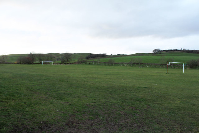
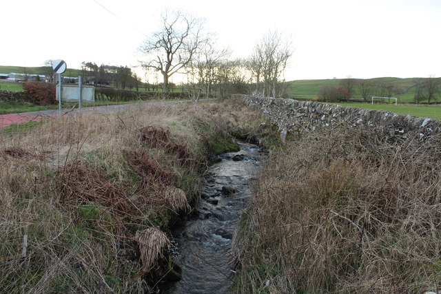
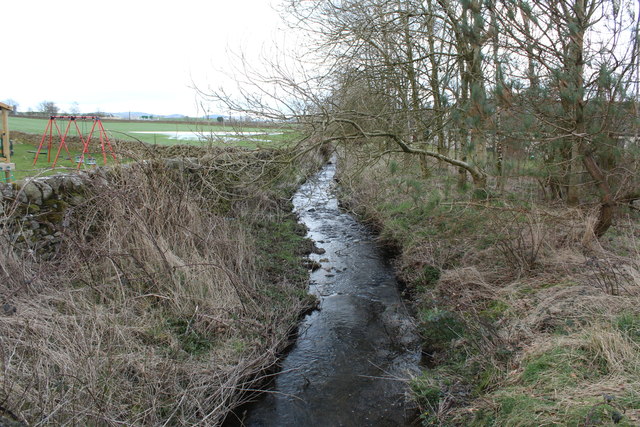
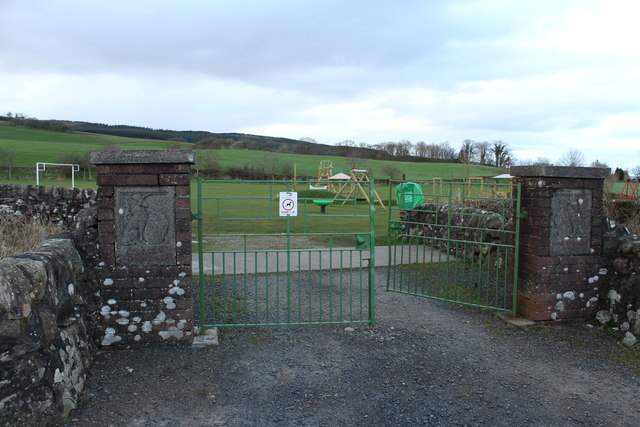
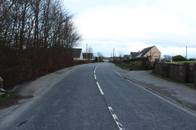
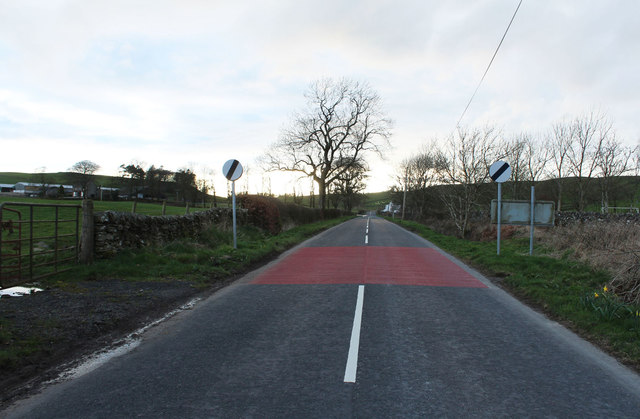
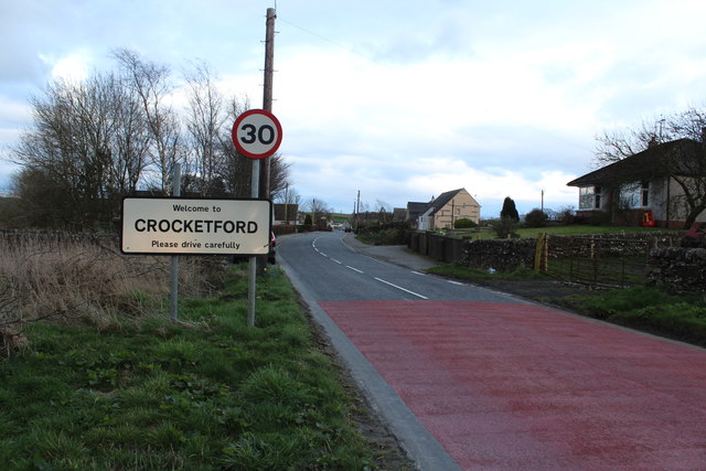
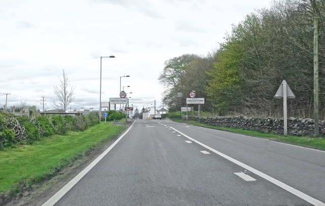
Shot Hill Images

Images are sourced within 2km of 55.036569/-3.823842 or Grid Reference NX8372. Thanks to Geograph Open Source API. All images are credited.

Curious walling close to Brooklands The high wall to the right of the road (A712), west of Crocketford is unusual. It has three sections, all crenellated with the centre one being taller than the others. The part nearest to the camera has a small, now roofless building incorporated into the rear. The structure stands opposite to the entrance to the property at Brooklands.
A possible folly?
Curious walling close to Brooklands
The high wall to the right of the road (A712), west of Crocketford is unusual. It has three sections, all crenellated with the centre one being taller than the others. The part nearest to the camera has a small, now roofless building incorporated into the rear. The structure stands opposite to the entrance to the property at Brooklands. A possible folly?
View from a layby, Larglea On the A75
View from a layby, Larglea
On the A75
A row of cottages on the A75 At the western end of Crocketford or Ninemile Bar. Known simply as Crocketford on the GB1900.org map. It is approximately equidistant between Castle Douglas and Dumfries.
A row of cottages on the A75
At the western end of Crocketford or Ninemile Bar. Known simply as Crocketford on the GB1900.org map. It is approximately equidistant between Castle Douglas and Dumfries.
Horses and a Dragon at Brass Tacks Some fine life-like sculptures at Brass Tacks at Home, a supplier of upholstery services, garden ornaments, bronzes etc., etc.
Horses and a Dragon at Brass Tacks
Some fine life-like sculptures at Brass Tacks at Home, a supplier of upholstery services, garden ornaments, bronzes etc., etc.
Bronzes at Brass Tacks, Crocketford A range of life-like sculptures at Brass Tacks at Home, a supplier of upholstery services, garden ornaments, bronzes etc., etc.
Bronzes at Brass Tacks, Crocketford
A range of life-like sculptures at Brass Tacks at Home, a supplier of upholstery services, garden ornaments, bronzes etc., etc.
Old tollhouse A view across the A75 of the tollhouse at the A75/A712 junction in Crocketford/Nine Mile Bar.   An interesting feature is the central 4 stack chimneys.   The windows are 4 pane rectangular sash.
Old tollhouse
A view across the A75 of the tollhouse at the A75/A712 junction in Crocketford/Nine Mile Bar. An interesting feature is the central 4 stack chimneys. The windows are 4 pane rectangular sash.
Old tollhouse A view of Crocketford tollhouse across the A715.   The original building was designed by A Halliday of Dumfries in 1834 with additions in later years.
Old tollhouse
A view of Crocketford tollhouse across the A715. The original building was designed by A Halliday of Dumfries in 1834 with additions in later years.
Kids Play Area, Crocketford
Football Field, Crocketford
Crocketford Burn
Crocketford Burn
Crocketford Burn
Crocketford Burn
Gateway to King Georges Field, Crocketford
Maiden Row, Crocketford
A712 to Corsock
A712 to Corsock
Welcome to Crocketford
Entering Crocketford ... via the A75
Entering Crocketford
... via the A75
Trees in a field Trees in a field opposite Auchenreoch Loch.  The same trees were photographed in snow back in December 2010 <a href="https://www.geograph.org.uk/photo/2204362">NX8271 : Copse close to Auchenreoch Loch</a>.
Trees in a field
Trees in a field opposite Auchenreoch Loch. The same trees were photographed in snow back in December 2010 NX8271 : Copse close to Auchenreoch Loch.
Layby on part of the old route of the A75, Crocketford
Show me another place!

Shot Hill is located at Grid Ref: NX8372 (Lat: 55.036569, Lng: -3.823842)

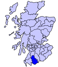
Unitary Authority: Dumfries and Galloway

Police Authority: Dumfries and Galloway

What 3 Words

///bashful.welfare.refusals. Near Dalbeattie, Dumfries & Galloway

Related Wikis

Crocketford

Crocketford (/ˈkrɒkɪtfɔːd/, also frequently /ˈkrɒkɪtfəd/) also known as Ninemile Bar (Scottish Gaelic: Ath Crogaid), as it is approximately equidistant...
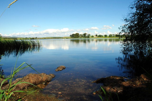
Milton Loch

Milton Loch is an alkaline freshwater loch located in Dumfries and Galloway, Scotland. In the loch and nearby are archaeological sites including three...

Springholm

Springholm is a village in the historical county of Kirkcudbrightshire in Dumfries and Galloway, Scotland. It is located 14 miles (23 km) west of Dumfries...

Glenkiln Sculpture Park

Glenkiln Sculpture Park was a sculpture landscape in the historic county of Kirkcudbrightshire in Dumfries and Galloway, south-west Scotland. After one...

Kirkpatrick Durham

Kirkpatrick Durham (Scottish Gaelic: Cill Phàdraig) is a village and parish in the historical county of Kirkcudbrightshire, Dumfries and Galloway, south...

Lochrutton Loch

Lochrutton Loch is a large, lowland freshwater loch that lies to the west of Dumfries, Scotland. The loch trends from north to south and is 0.75 mi (1...

Stewartry

Stewartry was a local government district from 1975 until 1996 within the Dumfries and Galloway region in south-west Scotland. Under the name Stewartry...

Killywhan railway station

Killywhan railway station served the hamlet of Killywhan, Dumfries and Galloway, Scotland from 1859 to 1959 on the Castle Douglas and Dumfries Railway...

Nearby Amenities

Located within 500m of 55.036569,-3.823842
Crocketford
Alt Name En: Nine Mile Bar
Alt Name Sco: Crocketford
Is In: Dumfries & Galloway, Scotland, UK
Name En: Crocketford
Name Gd: Ath Crogaid
Name Sco: Nine Mile Bar
Place: village
Lat/Long: 55.0356628/-3.8287555
Village shop
Shop: convenience
Lat/Long: 55.0360554/-3.8307506
Bus Stop
Village
Naptan AtcoCode: 680000056333
Naptan Bearing: SW
Naptan CommonName: Village
Naptan Indicator: Police Station
Naptan Landmark: Police Station
Naptan NaptanCode: 34236243
Naptan Notes: none
Naptan Street: Main Street
Naptan Verified: no
Source: naptan_import
Lat/Long: 55.0361232/-3.8282386
Bus Stop
Village
Naptan AtcoCode: 680000056444
Naptan Bearing: NE
Naptan CommonName: Village
Naptan Indicator: opp Police Station
Naptan Landmark: Police Station
Naptan NaptanCode: 34236245
Naptan Notes: none
Naptan Street: Main Street
Naptan Verified: no
Source: naptan_import
Lat/Long: 55.0362104/-3.8284147
Post Box
Post Box Type: wall
Ref: DG2 53
Royal Cypher: GVIR
Lat/Long: 55.0359454/-3.8300822
Parking
Source: survey
Lat/Long: 55.0386248/-3.8190591
Defibrillator
Access: yes
Defibrillator Location: Crocketford Village Hall. External wall, left hand side of entrance.
Emergency: defibrillator
Indoor: no
Lat/Long: 55.035782/-3.8302837
Grit Bin
Access: yes
Colour: yellow
Material: plastic
Lat/Long: 55.0358569/-3.8303946
Post Office
Crocketford Post Office
Addr City: Dumfries
Addr Country: GB
Addr Housename: Crocketford Village Hall
Addr Postcode: DG2 8RA
Addr Village: Crocketford
Brand: Post Office
Brand Wikidata: Q1783168
Check Date: 2022-05-27
Check Date Opening Hours: 2022‑05‑27
Contact Website: https://www.postoffice.co.uk/branch-finder/4774701/crocketford
Opening Hours: We 11:00-12:00; Th 11:30-13:30
Ref Pol Id: 110210
Lat/Long: 55.0356934/-3.8302346
Power: pole
Lat/Long: 55.0351999/-3.8310214
Power: pole
Lat/Long: 55.0346752/-3.8304988
Power: pole
Lat/Long: 55.033902/-3.8300272
Power: pole
Lat/Long: 55.0376528/-3.8166079
Power: pole
Lat/Long: 55.0379834/-3.8172868
Power: pole
Lat/Long: 55.0386241/-3.8178744
Power: pole
Lat/Long: 55.039176/-3.8183496
The data included in this document is from www.openstreetmap.org. The data is made available under ODbL.

Have you been to Shot Hill?

Leave your review of Shot Hill below (or comments, questions and feedback).