Yr Allt
Hill, Mountain in Cardiganshire
Wales
Yr Allt

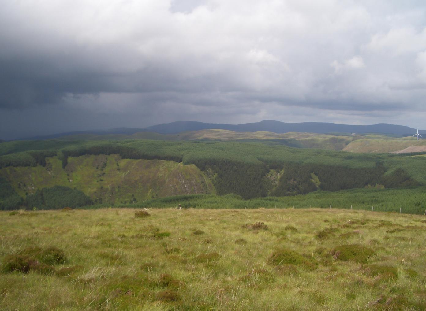
Yr Allt is a prominent hill and mountain located in Cardiganshire, a county in Wales, United Kingdom. Standing at an elevation of approximately 434 meters (1,424 feet), it is a significant landmark in the region.
The hill is situated near the village of Pontrhydfendigaid, offering breathtaking panoramic views of the surrounding countryside. Its distinctive shape and rugged terrain make it a popular spot for hiking and outdoor activities. The ascent to the summit can be challenging, but the rewarding vistas make it all worthwhile.
Yr Allt is known for its diverse flora and fauna, with heather, gorse, and bracken covering its slopes. The hill is also home to various species of birds, including buzzards and kestrels, which can often be seen soaring overhead. Additionally, the area is inhabited by an array of small mammals such as rabbits and foxes.
The hill's location within the Cambrian Mountains adds to its appeal, as it is part of a larger range that stretches across central Wales. This makes Yr Allt an excellent base for exploring the natural wonders of the region, including nearby lakes, rivers, and forests.
Visitors to Yr Allt should come prepared with appropriate footwear and clothing, as the weather can be changeable and the terrain can be challenging. However, the stunning landscapes and sense of tranquility make it a must-visit destination for nature enthusiasts and those seeking a peaceful escape in the heart of Cardiganshire.
If you have any feedback on the listing, please let us know in the comments section below.
Yr Allt Images
Images are sourced within 2km of 52.36952/-3.7121379 or Grid Reference SN8375. Thanks to Geograph Open Source API. All images are credited.


Yr Allt is located at Grid Ref: SN8375 (Lat: 52.36952, Lng: -3.7121379)
Unitary Authority: Ceredigion
Police Authority: Dyfed Powys
What 3 Words
///goose.shook.gladiators. Near Cwmystwyth, Ceredigion
Nearby Locations
Related Wikis

Elenydd
The Elenydd (Welsh: [ɛˈlɛnɨð]) is an upland area of Mid Wales, extending across parts of northern and eastern Ceredigion and Powys between Aberystwyth...

Mwyngloddfa Cwmystwyth
Mwyngloddfa Cwmystwyth is a Site of Special Scientific Interest in Ceredigion, west Wales. It comprises old mine workings located in the upper Ystwyth...
Pen y Garn
Pen y Garn is a mountain in the Cambrian Mountains, Mid Wales standing at 611 metres above sea level. Pen y Garn tops a 500–600 m high plateau, which includes...
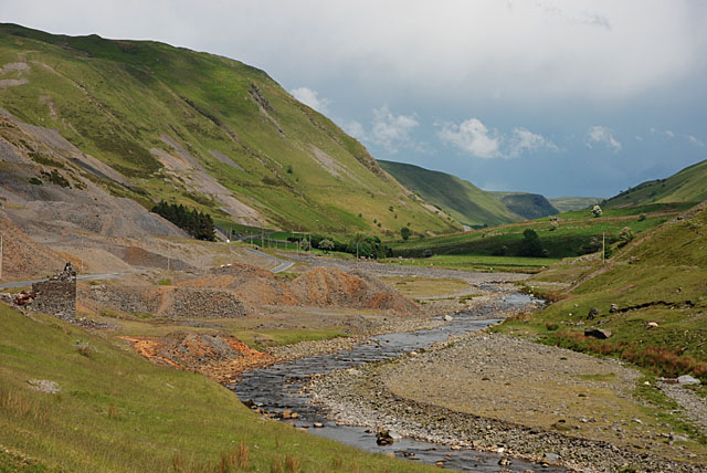
Cwmystwyth Mines
Cwmystwyth mines are located in Cwmystwyth, Ceredigion, Wales and exploited a part of the Central Wales Orefield. Cwm Ystwyth is a scheduled monument,...
Have you been to Yr Allt?
Leave your review of Yr Allt below (or comments, questions and feedback).