Cefn Llandybo
Hill, Mountain in Montgomeryshire
Wales
Cefn Llandybo

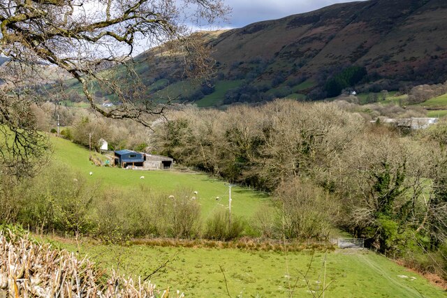
Cefn Llandybo is a prominent hill located in the county of Montgomeryshire in Wales, United Kingdom. With an elevation of approximately 1,418 feet (432 meters), it is considered one of the significant mountains in the region. The hill is situated near the village of Llandybo, hence its name, and is a distinctive feature of the surrounding landscape.
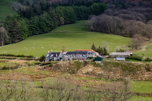
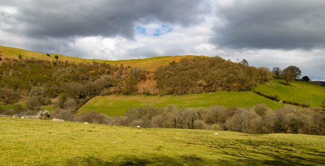
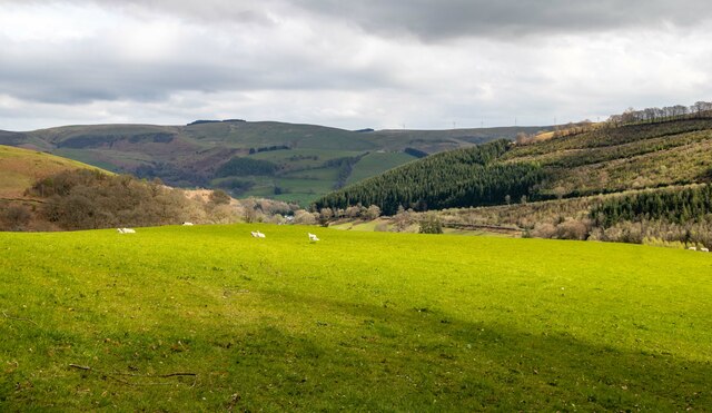
Cefn Llandybo is characterized by its rugged terrain and is mainly composed of sedimentary rocks, including sandstone and shale. The hill offers breathtaking views of the surrounding countryside, with its summit providing panoramic vistas of the Montgomeryshire countryside, including the picturesque valleys and the nearby River Severn.
The area around Cefn Llandybo is rich in biodiversity, with various plant and animal species thriving in the hill's diverse habitats. The hillside is covered in lush vegetation, including grasses, heather, and scattered woodland areas. This diverse ecosystem provides a haven for a wide range of wildlife, including birds such as buzzards, kestrels, and various songbirds.
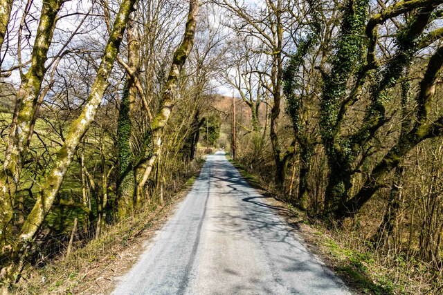
Cefn Llandybo is a popular destination for outdoor enthusiasts and nature lovers, offering opportunities for hiking, walking, and wildlife observation. Several walking trails traverse the hill, allowing visitors to explore its natural beauty and experience the tranquility of the surrounding countryside.
Overall, Cefn Llandybo is a significant natural landmark in Montgomeryshire, offering stunning views, diverse wildlife, and recreational opportunities for those seeking to immerse themselves in the natural wonders of the area.
If you have any feedback on the listing, please let us know in the comments section below.
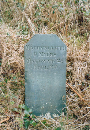
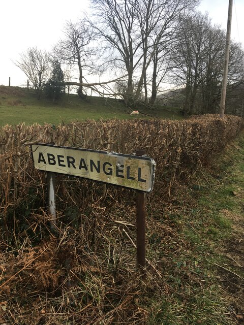
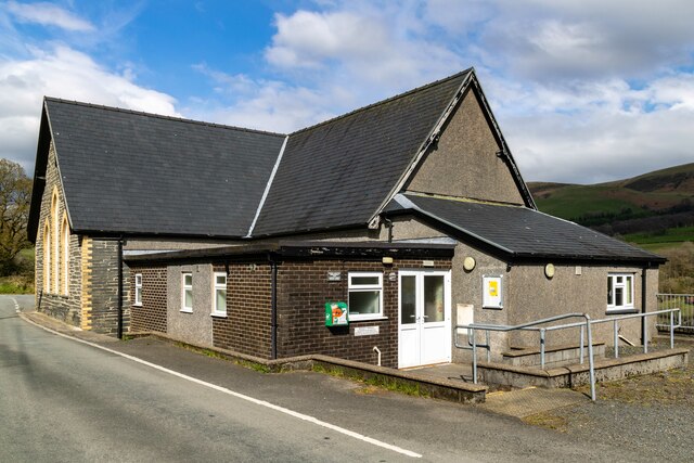
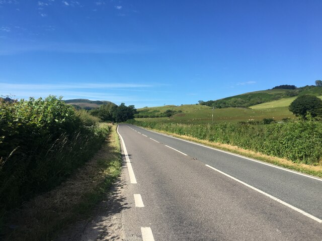
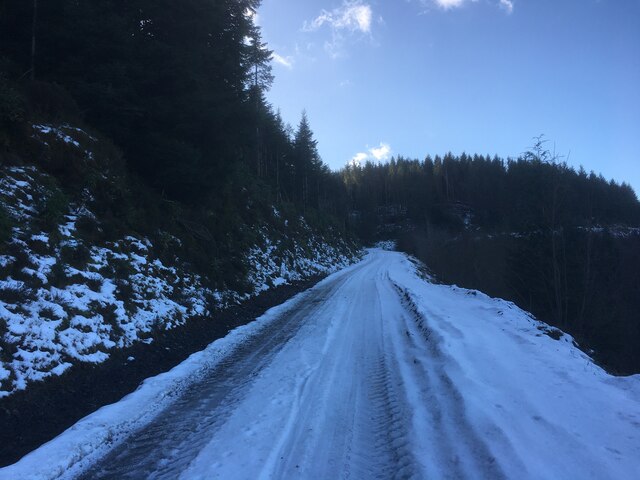
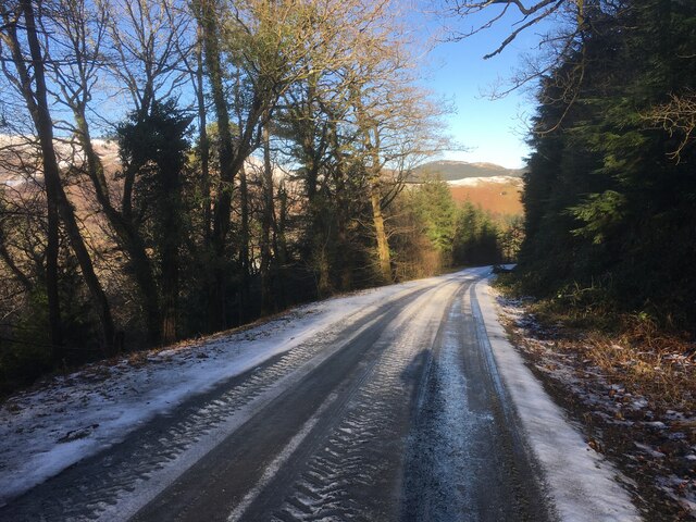
Cefn Llandybo Images
Images are sourced within 2km of 52.673789/-3.724102 or Grid Reference SH8309. Thanks to Geograph Open Source API. All images are credited.


Cefn Llandybo is located at Grid Ref: SH8309 (Lat: 52.673789, Lng: -3.724102)
Unitary Authority: Powys
Police Authority: Dyfed Powys
What 3 Words
///coping.supporter.broached. Near Cwm-Llinau, Powys
Nearby Locations
Related Wikis

Afon Angell
The Afon Angell is a river in Gwynedd, Mid Wales. The river flows eastwards from its source on the eastern flank of Mynydd Dolgoed, joining the Afon Dyfi...

Aberangell railway station
Aberangell railway station was an intermediate railway station on the Mawddwy Railway which ran from Cemmaes Road to Dinas Mawddy in the Welsh county...

Aberangell
Aberangell () is a village in Gwynedd, Wales. == Geography == Aberangell stands at the confluence of the Afon Angell and the Afon Dyfi, and lies within...
Moel y Ffridd
Moel y Ffridd (also known as Foel y Ffridd) is a mountain in Wales. It lies north-west of the village of Aberangell and west of Mallwyd and is one of the...
Nearby Amenities
Located within 500m of 52.673789,-3.724102Have you been to Cefn Llandybo?
Leave your review of Cefn Llandybo below (or comments, questions and feedback).