Barfil Moss
Downs, Moorland in Kirkcudbrightshire
Scotland
Barfil Moss
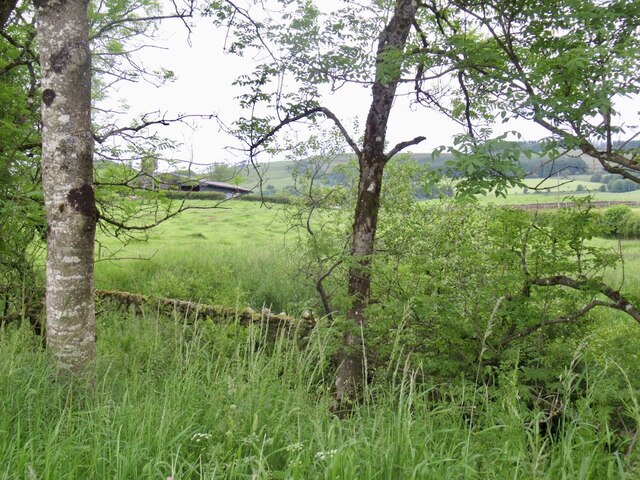
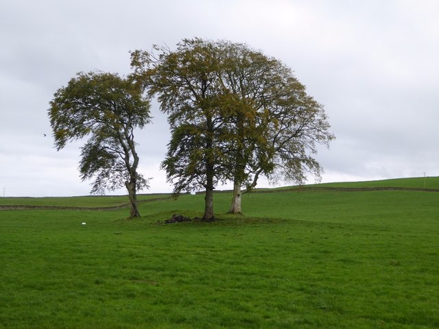
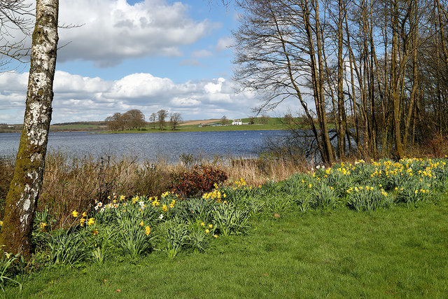
Barfil Moss is a scenic and tranquil area located in Kirkcudbrightshire, Scotland. Situated amidst the rolling hills and moorlands, it offers a picturesque and untouched natural landscape. Covering a vast expanse, Barfil Moss is known for its diverse flora and fauna, making it a popular destination for nature enthusiasts and birdwatchers.
The terrain of Barfil Moss mainly consists of wetlands and peat bogs. The area is characterized by its unique mossy vegetation, including sphagnum moss and cotton grass, which thrive in the damp conditions. The mosses create a soft and spongy ground cover, giving the landscape a unique texture and appearance.
The moorland surrounding Barfil Moss is home to a variety of bird species, making it an ideal spot for birdwatching. Visitors may spot common species such as curlews, lapwings, and red grouse, among others. The area is also known for attracting migratory birds, which stop by during their journeys.
The serenity of Barfil Moss makes it a perfect place for those seeking solitude and tranquility. The absence of urban development ensures minimal human interruption, allowing visitors to immerse themselves in the peaceful surroundings. The open sky above the moorland offers breathtaking views, especially during sunrise and sunset.
Access to Barfil Moss is possible through designated footpaths and tracks. However, it is essential to tread carefully and respect the fragile ecosystem. Visitors are encouraged to follow the countryside code and take any waste with them to preserve the natural beauty of this unique landscape.
If you have any feedback on the listing, please let us know in the comments section below.
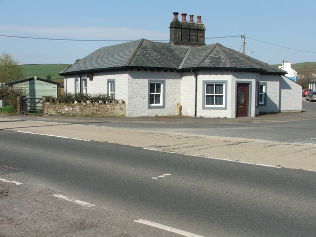
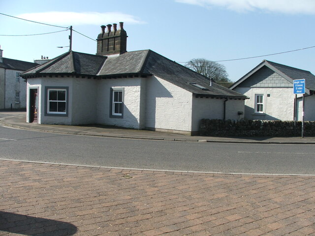
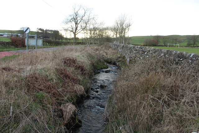
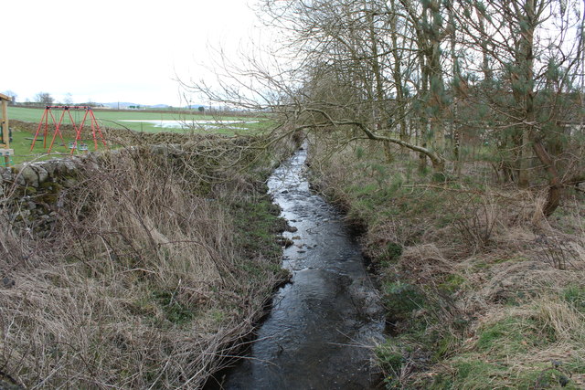
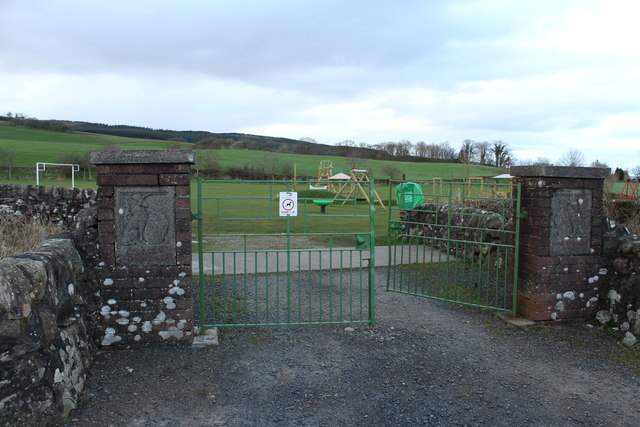
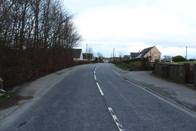
Barfil Moss Images
Images are sourced within 2km of 55.030839/-3.8169474 or Grid Reference NX8372. Thanks to Geograph Open Source API. All images are credited.

Barfil Moss is located at Grid Ref: NX8372 (Lat: 55.030839, Lng: -3.8169474)
Unitary Authority: Dumfries and Galloway
Police Authority: Dumfries and Galloway
What 3 Words
///warblers.remit.shades. Near Dalbeattie, Dumfries & Galloway
Nearby Locations
Related Wikis
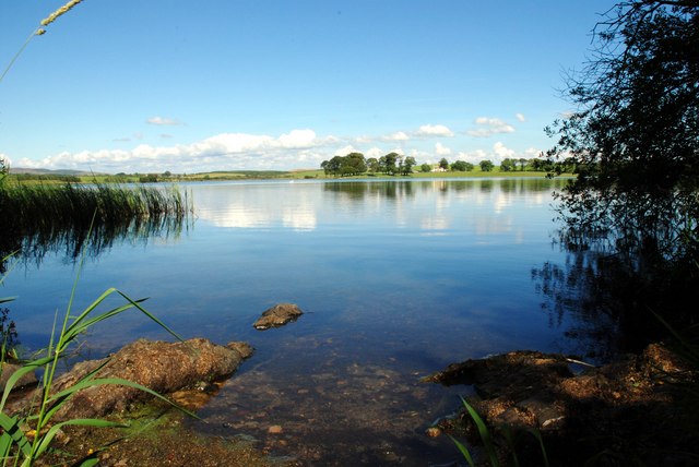
Milton Loch
Milton Loch is an alkaline freshwater loch located in Dumfries and Galloway, Scotland. In the loch and nearby are archaeological sites including three...

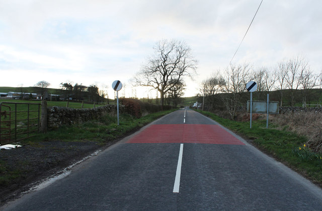
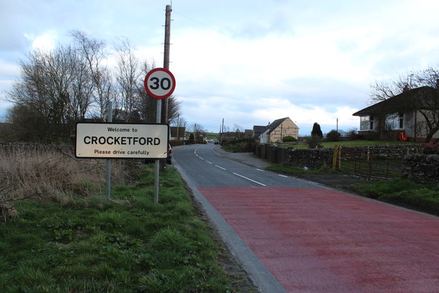
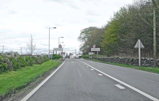
Crocketford
Crocketford (/ˈkrɒkɪtfɔːd/, also frequently /ˈkrɒkɪtfəd/) also known as Ninemile Bar (Scottish Gaelic: Ath Crogaid), as it is approximately equidistant...

Springholm
Springholm is a village in the historical county of Kirkcudbrightshire in Dumfries and Galloway, Scotland. It is located 14 miles (23 km) west of Dumfries...

Kirkpatrick Durham
Kirkpatrick Durham (Scottish Gaelic: Cill Phàdraig) is a village and parish in the historical county of Kirkcudbrightshire, Dumfries and Galloway, south...
Have you been to Barfil Moss?
Leave your review of Barfil Moss below (or comments, questions and feedback).