Stover Park

Downs, Moorland in Devon Teignbridge

England

Stover Park

Newton Abbot : Ringslade Road Looking along Ringslade Road off Bovey Tracey Road.
Newton Abbot : Ringslade Road Credit: Lewis Clarke

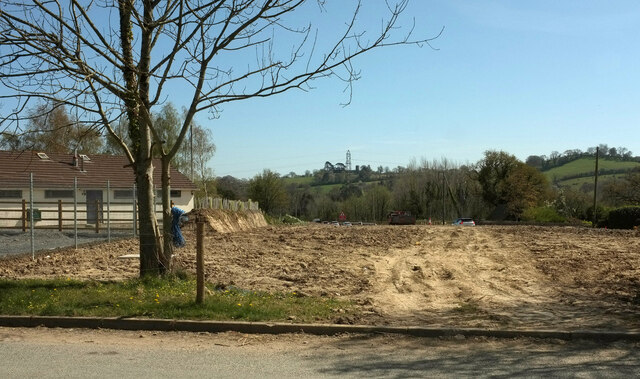
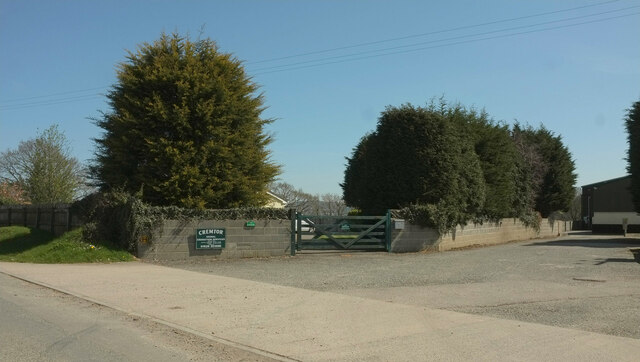
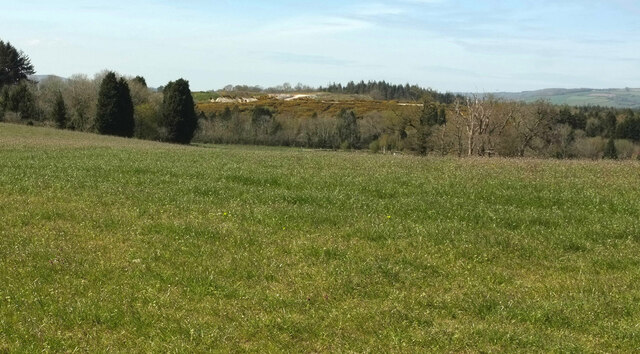
Stover Park, located in Devon, England, is a picturesque area known for its diverse natural landscapes, including downs, moorland, and woodlands. Covering an expansive area, the park offers visitors a tranquil escape from the hustle and bustle of city life.

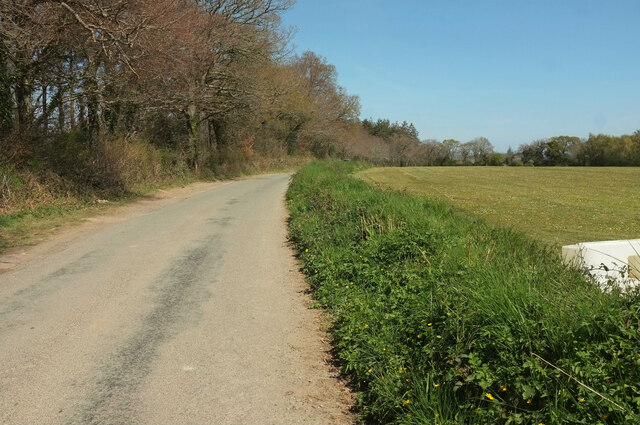
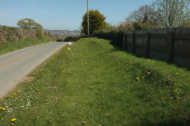
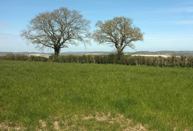
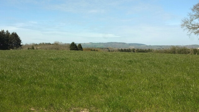
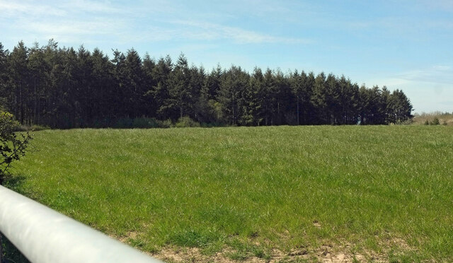
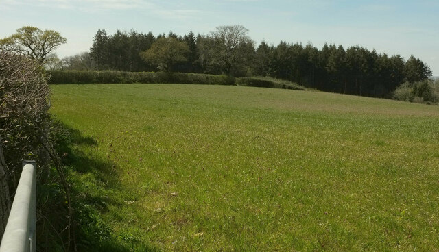
One of the main features of Stover Park is its rolling downs, which provide stunning panoramic views of the surrounding countryside. These grassy slopes are ideal for leisurely walks, picnics, or simply enjoying the peaceful ambiance that the park offers.

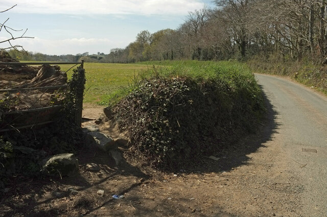
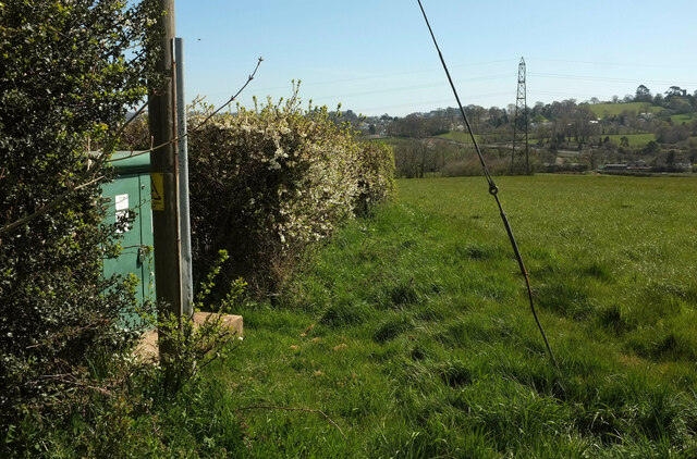
In addition to the downs, Stover Park is also home to vast stretches of moorland. This rugged terrain is characterized by open spaces, heather-covered hills, and an abundance of wildlife. Nature enthusiasts can spot a variety of bird species, such as buzzards and kestrels, as well as mammals like deer and foxes.

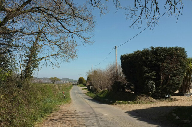
For those seeking a more immersive experience, Stover Park boasts several well-maintained walking trails that wind through the woodlands. The ancient trees and dense foliage create a serene environment, perfect for exploring or simply appreciating the beauty of nature.

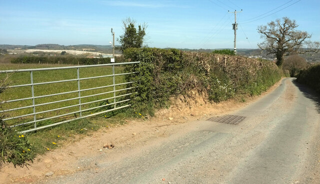
Furthermore, Stover Park offers various amenities for visitors, including picnic areas, designated parking spaces, and well-maintained facilities. The park also provides educational opportunities to learn about the local flora and fauna through guided tours and informational displays.

Overall, Stover Park in Devon is a haven for nature lovers, providing a diverse range of landscapes to explore and enjoy. Whether you prefer the open downs, the rugged moorland, or the enchanting woodlands, this park offers a truly immersive and peaceful experience in the heart of the English countryside.

If you have any feedback on the listing, please let us know in the comments section below.

Stover Park Images

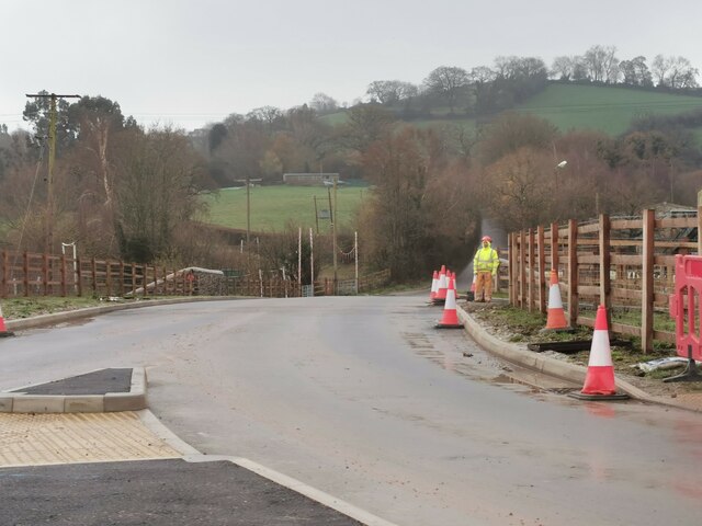
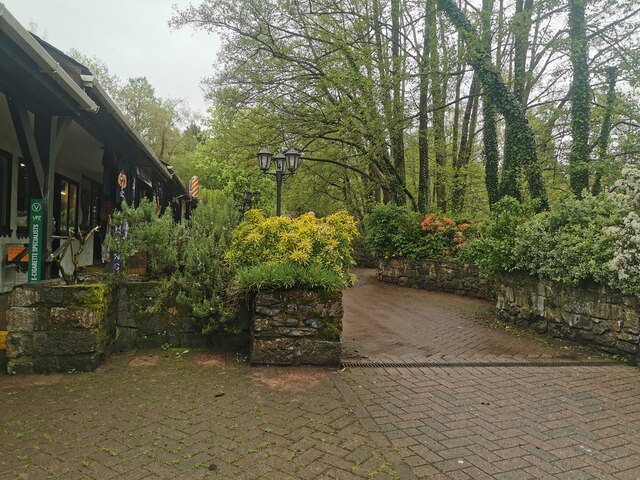
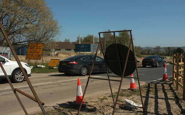
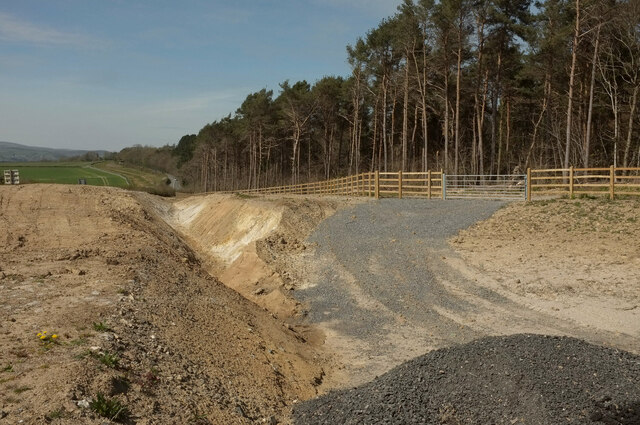
Images are sourced within 2km of 50.553998/-3.6388428 or Grid Reference SX8473. Thanks to Geograph Open Source API. All images are credited.

Newton Abbot : Ringslade Road Looking along Ringslade Road off Bovey Tracey Road.
Newton Abbot : Ringslade Road
Looking along Ringslade Road off Bovey Tracey Road.
Islington : Trago Mills A path through the shopping area.
Islington : Trago Mills
A path through the shopping area.
Roadwork queue, Forches Cross The notice reads "work starts here 10/02/20 for 43 weeks: delays possible". This was taken about 62 weeks after that date and, once the initial Covid lockdown eased and traffic returned to normal levels, prodigious queues have been a constant feature of the A382 between Drumbridges and Newton Abbot, as they were in February and March 2020. The work has now (summer 2021) been completed, with the loss of two kilometres of fine roadside hedges. However, as the smaller sign points out, this was just phase 1; there is a lot more road widening to come.
Roadwork queue, Forches Cross
The notice reads "work starts here 10/02/20 for 43 weeks: delays possible". This was taken about 62 weeks after that date and, once the initial Covid lockdown eased and traffic returned to normal levels, prodigious queues have been a constant feature of the A382 between Drumbridges and Newton Abbot, as they were in February and March 2020. The work has now (summer 2021) been completed, with the loss of two kilometres of fine roadside hedges. However, as the smaller sign points out, this was just phase 1; there is a lot more road widening to come.
Cleared woodland, Butland's Plantation A swathe of the wood has been removed in connection with road widening of the A382 (see <a href="https://www.geograph.org.uk/photo/6951962">SX8473 : Roadwork queue, Forches Cross</a>). View from Greycoat Lane.
Cleared woodland, Butland's Plantation
A swathe of the wood has been removed in connection with road widening of the A382 (see SX8473 : Roadwork queue, Forches Cross). View from Greycoat Lane.
Pavilion near Forches Cross Looking in the opposite direction from <a href="https://www.geograph.org.uk/photo/6952601">SX8473 : Cleared woodland, Butland's Plantation</a>. The playing fields relating to the pavilion are off to the left so presumably both will survive the roadworks that have caused the cleared ground on the right; traffic can be seen queuing (see <a href="https://www.geograph.org.uk/photo/6951962">SX8473 : Roadwork queue, Forches Cross</a>). On the horizon beside the central pylon is the church at Highweek <a href="https://www.geograph.org.uk/photo/902390">SX8572 : All Saints Church, Highweek</a>.
Pavilion near Forches Cross
Looking in the opposite direction from SX8473 : Cleared woodland, Butland's Plantation. The playing fields relating to the pavilion are off to the left so presumably both will survive the roadworks that have caused the cleared ground on the right; traffic can be seen queuing (see SX8473 : Roadwork queue, Forches Cross). On the horizon beside the central pylon is the church at Highweek SX8572 : All Saints Church, Highweek.
Greycoat Lane With Butland's Plantation on the left. Four months on, I forget what the white object on the right is - a plastic barrier, perhaps.
Greycoat Lane
With Butland's Plantation on the left. Four months on, I forget what the white object on the right is - a plastic barrier, perhaps.
Greycoat Lane Passing the entrance to UCZ Paintball Park in Butland's Plantation.
Greycoat Lane
Passing the entrance to UCZ Paintball Park in Butland's Plantation.
Greycoat Lane The lane curves past a field on the left and Butland's Plantation on the right.
Greycoat Lane
The lane curves past a field on the left and Butland's Plantation on the right.
Greycoat Lane Passing houses on the right. The houses in the distance are at Kingsteignton.
Greycoat Lane
Passing houses on the right. The houses in the distance are at Kingsteignton.
Entrance to pet cremation centre From Greycoat Lane.
Entrance to pet cremation centre
From Greycoat Lane.
Bank by Greycoat Lane A grassy bank just east of <a href="https://www.geograph.org.uk/photo/6952676">SX8473 : Entrance to pet cremation centre</a>.
Bank by Greycoat Lane
A grassy bank just east of SX8473 : Entrance to pet cremation centre.
Trees by Greycoat Lane Along a hedge on the north side of the road.
Trees by Greycoat Lane
Along a hedge on the north side of the road.
Field by Greycoat Lane Looking left from <a href="https://www.geograph.org.uk/photo/6952684">SX8473 : Trees by Greycoat Lane</a>. A curious parish boundary here, with a narrow extension of Newton Abbot parish extending across this field into Teigngrace.
Field by Greycoat Lane
Looking left from SX8473 : Trees by Greycoat Lane. A curious parish boundary here, with a narrow extension of Newton Abbot parish extending across this field into Teigngrace.
Butland's Plantation Looking left from <a href="https://www.geograph.org.uk/photo/6952689">SX8473 : Field by Greycoat Lane</a> across the same field.
Butland's Plantation
Looking left from SX8473 : Field by Greycoat Lane across the same field.
Greycoat Lane Passing gateways on each side as the road narrows considerably. A glimpse of the extensive clay pits in the Teign valley over the gate.
Greycoat Lane
Passing gateways on each side as the road narrows considerably. A glimpse of the extensive clay pits in the Teign valley over the gate.
Field and hedge by Greycoat Lane Looking right from <a href="https://www.geograph.org.uk/photo/6952704">SX8473 : Greycoat Lane</a>.
Field and hedge by Greycoat Lane
Looking right from SX8473 : Greycoat Lane.
Towards Butland's Plantation From the gate seen in <a href="https://www.geograph.org.uk/photo/6952704">SX8473 : Greycoat Lane</a>, looking back to the left.
Towards Butland's Plantation
From the gate seen in SX8473 : Greycoat Lane, looking back to the left.
Field by Greycoat Lane Looking right from <a href="https://www.geograph.org.uk/photo/6952729">SX8473 : Towards Butland's Plantation</a>. More clay working in evidence in the background - see also <a href="https://www.geograph.org.uk/photo/6952704">SX8473 : Greycoat Lane</a>,
Field by Greycoat Lane
Looking right from SX8473 : Towards Butland's Plantation. More clay working in evidence in the background - see also SX8473 : Greycoat Lane,
Show me another place!

Stover Park is located at Grid Ref: SX8473 (Lat: 50.553998, Lng: -3.6388428)

Administrative County: Devon

District: Teignbridge

Police Authority: Devon and Cornwall

What 3 Words

///toward.dupe.alive. Near Chudleigh Knighton, Devon

Related Wikis

Stover, Teigngrace

Stover is a historic estate in the parish of Teigngrace, about half way between the towns of Newton Abbot and Bovey Tracey in South Devon, England. It...

Teigngrace

Teigngrace is a civil parish centred on a hamlet that lies about two miles north of the town of Newton Abbot in Devon, England. According to the 2001 census...

Ventiford Brook

Ventiford Brook is a stream located in Devon, England. It was used as one of the water courses that filled the Stover Canal, when it was in use, along...

Teigngrace Halt railway station

Teigngrace Halt was a railway station opened as Teigngrace in 1867 by the Moretonhampstead and South Devon Railway. == History == The station was renamed...

Nearby Amenities

Located within 500m of 50.553998,-3.6388428
School
Stover School
Wikidata: Q67082335
Lat/Long: 50.5553771/-3.642561
The data included in this document is from www.openstreetmap.org. The data is made available under ODbL.

Have you been to Stover Park?

Leave your review of Stover Park below (or comments, questions and feedback).