Round Wood
Downs, Moorland in Dumfriesshire
Scotland
Round Wood
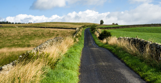
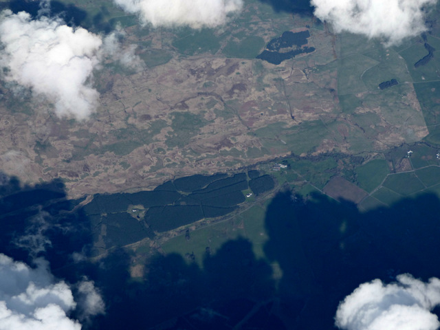
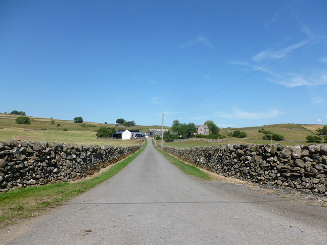
Round Wood is a picturesque area located in Dumfriesshire, Scotland. Situated amidst stunning landscapes, it is predominantly characterized by its rolling downs and expansive moorland. This natural haven offers a tranquil escape for both locals and visitors, who come to appreciate the beauty and serenity of the region.
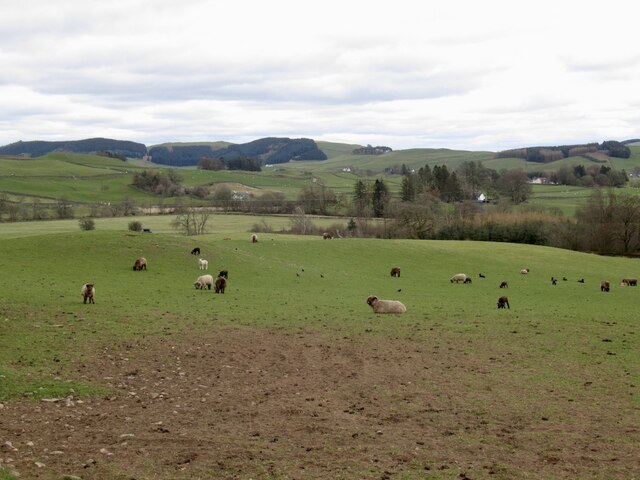
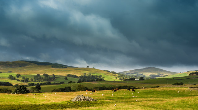
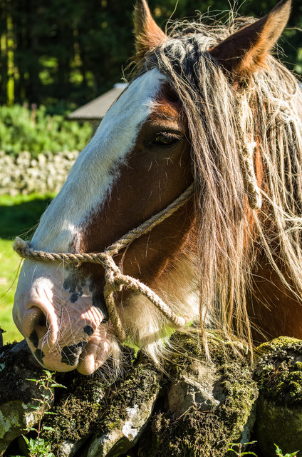
Covering a vast area, Round Wood is home to a diverse range of flora and fauna. The downs of Round Wood are known for their undulating hills and lush greenery, where visitors can enjoy leisurely walks or hikes while taking in breathtaking panoramic views. The moorland, on the other hand, presents a unique ecosystem, with heather-covered terrain and a variety of bird species, such as curlews and red grouse.
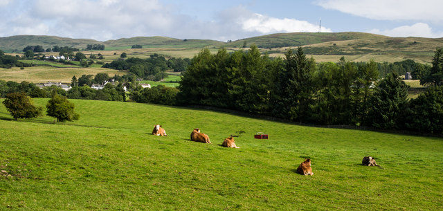
The woodlands within Round Wood add another layer of natural charm to the area. Ancient trees, including oak and birch, provide shelter to an array of wildlife, including deer and squirrels. The woodlands are also a haven for birdwatchers, with species such as woodpeckers and buzzards frequently spotted.
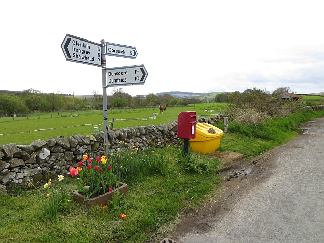
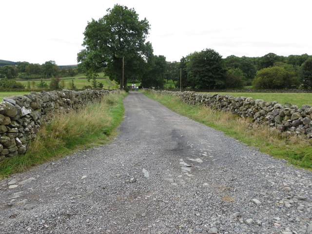
Round Wood is accessible via well-maintained footpaths and trails, allowing visitors to explore its natural wonders at their own pace. The area is also a popular spot for outdoor activities such as camping, picnicking, and wildlife photography. For those seeking a deeper connection with nature, Round Wood offers a sense of tranquility and a chance to immerse oneself in the beauty of Dumfriesshire's countryside.
Overall, Round Wood in Dumfriesshire is a captivating destination that showcases the diverse and awe-inspiring landscapes of Scotland. Whether it's the rolling downs, the expansive moorland, or the enchanting woodlands, this area is a must-visit for nature enthusiasts and those seeking a peaceful retreat.
If you have any feedback on the listing, please let us know in the comments section below.
Round Wood Images
Images are sourced within 2km of 55.146488/-3.8213378 or Grid Reference NX8485. Thanks to Geograph Open Source API. All images are credited.


Round Wood is located at Grid Ref: NX8485 (Lat: 55.146488, Lng: -3.8213378)
Unitary Authority: Dumfries and Galloway
Police Authority: Dumfries and Galloway
What 3 Words
///focus.syndicate.lighten. Near Thornhill, Dumfries & Galloway
Nearby Locations
Related Wikis

Dunscore railway station
Dunscore (NX858840) was one of the four principal stations on the Cairn Valley Light Railway (CVR) branch, from Dumfries. It served the rural area of...

Dunscore
Dunscore (['dʌnskər] / 'DUN-skur', less commonly ['dunskɔ:r] / 'DUN-score') is a small village which lies 9 miles (14 km) northwest of Dumfries on the...

Crossford railway station
Crossford is a closed station of the Cairn Valley Light Railway branch, from Dumfries. It served the rural area of Crossford in Dumfries and Galloway...
Stepford railway station
Stepford (NX864815) was one of the minor request stop stations on the Cairn Valley Light Railway branch from Dumfries. It served a very rural area in...
Nearby Amenities
Located within 500m of 55.146488,-3.8213378Have you been to Round Wood?
Leave your review of Round Wood below (or comments, questions and feedback).