Teigngrace

Settlement in Devon Teignbridge

England

Teigngrace

Newton Abbot : Ringslade Road Looking along Ringslade Road off Bovey Tracey Road.
Newton Abbot : Ringslade Road Credit: Lewis Clarke

Teigngrace is a small village located in the county of Devon, in the southwestern part of England. Situated within the Teignbridge district, it has a population of around 500 residents. The village is nestled in the beautiful Teign Valley and lies around 7 miles southwest of the city of Exeter.

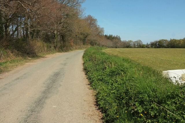
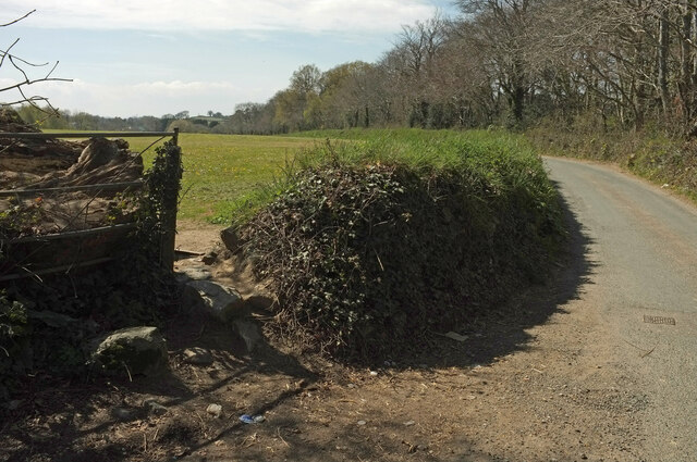
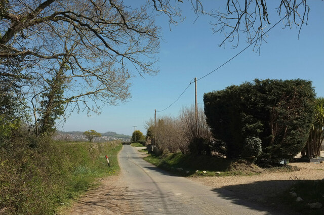
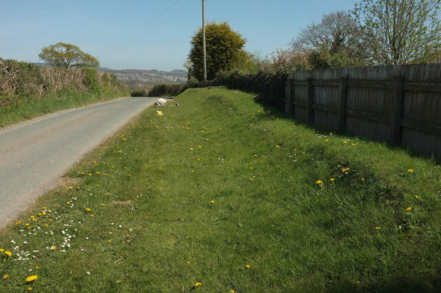
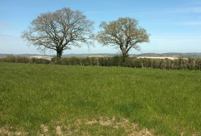
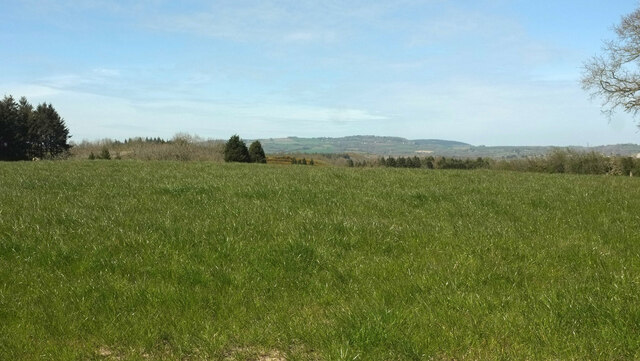
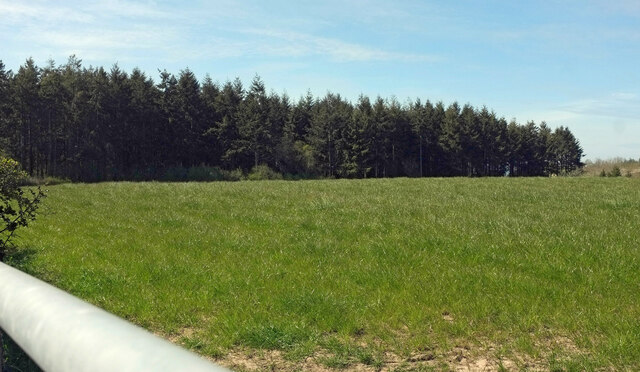
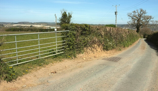
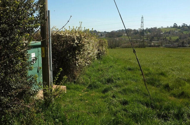
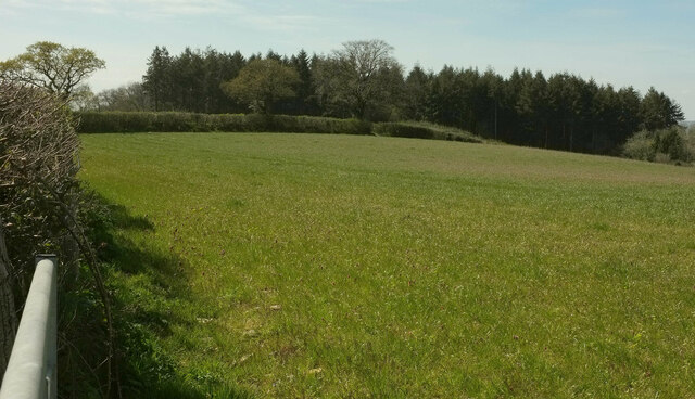
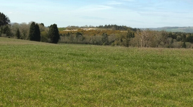
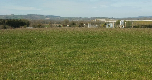
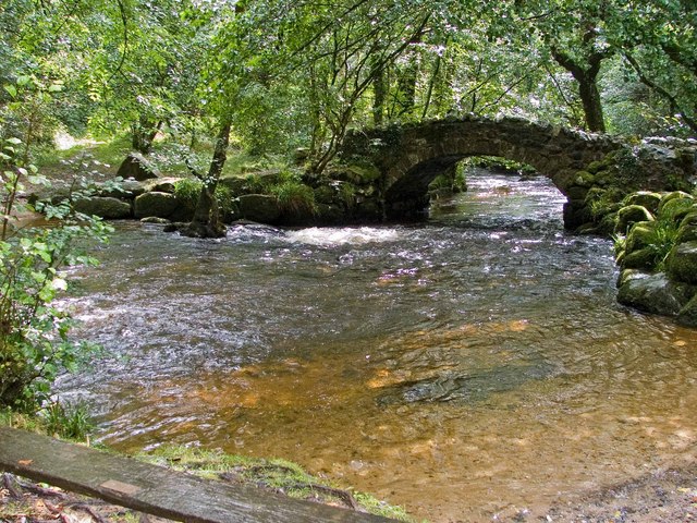
Teigngrace is known for its picturesque countryside, charming rural setting, and close proximity to Dartmoor National Park. The village is surrounded by rolling hills, green meadows, and scenic landscapes, making it an ideal destination for nature lovers and outdoor enthusiasts. The River Teign flows nearby, offering opportunities for fishing, boating, and other water activities.

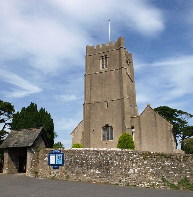
The village itself has a rich history, with evidence of human settlement dating back to the Roman era. The local parish church, St Peter's, is a historic landmark that reflects the area's heritage. Teigngrace also features a few traditional thatched cottages and old farmhouses, adding to its quaint and idyllic atmosphere.

Despite its small size, Teigngrace benefits from its proximity to nearby towns and cities. The market town of Newton Abbot is just a short drive away, offering a range of amenities, shops, and services. The village is well-connected by road, with the A380 passing through, providing easy access to the wider region.

Overall, Teigngrace provides a peaceful and rural retreat for its residents, combining natural beauty with a sense of history. It offers a tranquil escape from the hustle and bustle of city life while still enjoying the conveniences of nearby urban areas.

If you have any feedback on the listing, please let us know in the comments section below.
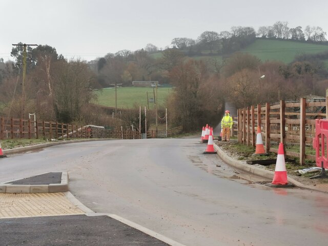
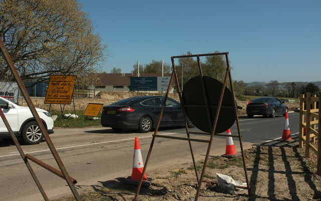
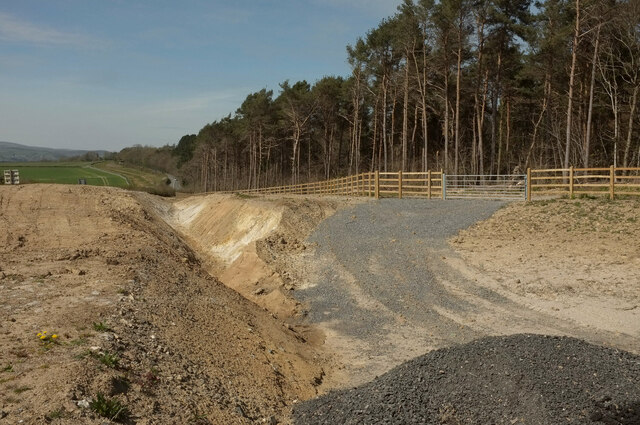
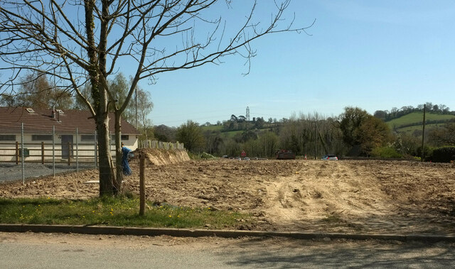
Teigngrace Images

Images are sourced within 2km of 50.5527/-3.62605 or Grid Reference SX8473. Thanks to Geograph Open Source API. All images are credited.

Newton Abbot : Ringslade Road Looking along Ringslade Road off Bovey Tracey Road.
Newton Abbot : Ringslade Road
Looking along Ringslade Road off Bovey Tracey Road.
Roadwork queue, Forches Cross The notice reads "work starts here 10/02/20 for 43 weeks: delays possible". This was taken about 62 weeks after that date and, once the initial Covid lockdown eased and traffic returned to normal levels, prodigious queues have been a constant feature of the A382 between Drumbridges and Newton Abbot, as they were in February and March 2020. The work has now (summer 2021) been completed, with the loss of two kilometres of fine roadside hedges. However, as the smaller sign points out, this was just phase 1; there is a lot more road widening to come.
Roadwork queue, Forches Cross
The notice reads "work starts here 10/02/20 for 43 weeks: delays possible". This was taken about 62 weeks after that date and, once the initial Covid lockdown eased and traffic returned to normal levels, prodigious queues have been a constant feature of the A382 between Drumbridges and Newton Abbot, as they were in February and March 2020. The work has now (summer 2021) been completed, with the loss of two kilometres of fine roadside hedges. However, as the smaller sign points out, this was just phase 1; there is a lot more road widening to come.
Cleared woodland, Butland's Plantation A swathe of the wood has been removed in connection with road widening of the A382 (see <a href="https://www.geograph.org.uk/photo/6951962">SX8473 : Roadwork queue, Forches Cross</a>). View from Greycoat Lane.
Cleared woodland, Butland's Plantation
A swathe of the wood has been removed in connection with road widening of the A382 (see SX8473 : Roadwork queue, Forches Cross). View from Greycoat Lane.
Pavilion near Forches Cross Looking in the opposite direction from <a href="https://www.geograph.org.uk/photo/6952601">SX8473 : Cleared woodland, Butland's Plantation</a>. The playing fields relating to the pavilion are off to the left so presumably both will survive the roadworks that have caused the cleared ground on the right; traffic can be seen queuing (see <a href="https://www.geograph.org.uk/photo/6951962">SX8473 : Roadwork queue, Forches Cross</a>). On the horizon beside the central pylon is the church at Highweek <a href="https://www.geograph.org.uk/photo/902390">SX8572 : All Saints Church, Highweek</a>.
Pavilion near Forches Cross
Looking in the opposite direction from SX8473 : Cleared woodland, Butland's Plantation. The playing fields relating to the pavilion are off to the left so presumably both will survive the roadworks that have caused the cleared ground on the right; traffic can be seen queuing (see SX8473 : Roadwork queue, Forches Cross). On the horizon beside the central pylon is the church at Highweek SX8572 : All Saints Church, Highweek.
Greycoat Lane With Butland's Plantation on the left. Four months on, I forget what the white object on the right is - a plastic barrier, perhaps.
Greycoat Lane
With Butland's Plantation on the left. Four months on, I forget what the white object on the right is - a plastic barrier, perhaps.
Greycoat Lane Passing the entrance to UCZ Paintball Park in Butland's Plantation.
Greycoat Lane
Passing the entrance to UCZ Paintball Park in Butland's Plantation.
Greycoat Lane The lane curves past a field on the left and Butland's Plantation on the right.
Greycoat Lane
The lane curves past a field on the left and Butland's Plantation on the right.
Greycoat Lane Passing houses on the right. The houses in the distance are at Kingsteignton.
Greycoat Lane
Passing houses on the right. The houses in the distance are at Kingsteignton.
Entrance to pet cremation centre From Greycoat Lane.
Entrance to pet cremation centre
From Greycoat Lane.
Bank by Greycoat Lane A grassy bank just east of <a href="https://www.geograph.org.uk/photo/6952676">SX8473 : Entrance to pet cremation centre</a>.
Bank by Greycoat Lane
A grassy bank just east of SX8473 : Entrance to pet cremation centre.
Trees by Greycoat Lane Along a hedge on the north side of the road.
Trees by Greycoat Lane
Along a hedge on the north side of the road.
Field by Greycoat Lane Looking left from <a href="https://www.geograph.org.uk/photo/6952684">SX8473 : Trees by Greycoat Lane</a>. A curious parish boundary here, with a narrow extension of Newton Abbot parish extending across this field into Teigngrace.
Field by Greycoat Lane
Looking left from SX8473 : Trees by Greycoat Lane. A curious parish boundary here, with a narrow extension of Newton Abbot parish extending across this field into Teigngrace.
Butland's Plantation Looking left from <a href="https://www.geograph.org.uk/photo/6952689">SX8473 : Field by Greycoat Lane</a> across the same field.
Butland's Plantation
Looking left from SX8473 : Field by Greycoat Lane across the same field.
Greycoat Lane Passing gateways on each side as the road narrows considerably. A glimpse of the extensive clay pits in the Teign valley over the gate.
Greycoat Lane
Passing gateways on each side as the road narrows considerably. A glimpse of the extensive clay pits in the Teign valley over the gate.
Field and hedge by Greycoat Lane Looking right from <a href="https://www.geograph.org.uk/photo/6952704">SX8473 : Greycoat Lane</a>.
Field and hedge by Greycoat Lane
Looking right from SX8473 : Greycoat Lane.
Towards Butland's Plantation From the gate seen in <a href="https://www.geograph.org.uk/photo/6952704">SX8473 : Greycoat Lane</a>, looking back to the left.
Towards Butland's Plantation
From the gate seen in SX8473 : Greycoat Lane, looking back to the left.
Field by Greycoat Lane Looking right from <a href="https://www.geograph.org.uk/photo/6952729">SX8473 : Towards Butland's Plantation</a>. More clay working in evidence in the background - see also <a href="https://www.geograph.org.uk/photo/6952704">SX8473 : Greycoat Lane</a>,
Field by Greycoat Lane
Looking right from SX8473 : Towards Butland's Plantation. More clay working in evidence in the background - see also SX8473 : Greycoat Lane,
Field by Greycoat Lane Looking right from <a href="https://www.geograph.org.uk/photo/6952734">SX8473 : Field by Greycoat Lane</a> with Teigngrace church right of centre. I've no idea what's to the right of that. Clay pits in the background.
Field by Greycoat Lane
Looking right from SX8473 : Field by Greycoat Lane with Teigngrace church right of centre. I've no idea what's to the right of that. Clay pits in the background.
Show me another place!

Teigngrace is located at Grid Ref: SX8473 (Lat: 50.5527, Lng: -3.62605)

Administrative County: Devon

District: Teignbridge

Police Authority: Devon and Cornwall

What 3 Words

///surprises.helping.rifled. Near Kingsteignton, Devon

Related Wikis

Teigngrace

Teigngrace is a civil parish centred on a hamlet that lies about two miles north of the town of Newton Abbot in Devon, England. According to the 2001 census...

Teigngrace Halt railway station

Teigngrace Halt was a railway station opened as Teigngrace in 1867 by the Moretonhampstead and South Devon Railway. == History == The station was renamed...

Teign Bridge

The Teign Bridge is a road bridge over the River Teign near Kingsteignton, Devon carrying the Exeter Road across the river. It has been Grade II listed...

Stover, Teigngrace

Stover is a historic estate in the parish of Teigngrace, about half way between the towns of Newton Abbot and Bovey Tracey in South Devon, England. It...

Ventiford Brook

Ventiford Brook is a stream located in Devon, England. It was used as one of the water courses that filled the Stover Canal, when it was in use, along...

Teign School

Teign School is an 11–18 academy school located in Kingsteignton, a town to the north of Newton Abbot. The original 1936 building has been expanded upon...

River Bovey

The River Bovey rises on the eastern side of Dartmoor in Devon, England, and is the largest tributary to the River Teign. The river has two main source...

Highweek

Highweek (anciently called Teignwick (alias Teyngewike, Tingwike, Teyngewyk, etc.)), less commonly called Highweek Village is an ecclesiastical parish...

Nearby Amenities

Located within 500m of 50.5527,-3.62605
Teigngrace
Is In: Devon, England, UK
Place: village
Source: npe
Lat/Long: 50.5537665/-3.6259893
Teigngrace Halt
Historic Railway: station
Railway: site
Lat/Long: 50.5564037/-3.6257337
Twelve Oaks Caravan Park
Addr City: Teigngrace
Addr Housename: Twelve Oaks Farm
Addr Postcode: TQ12 6QT
Tourism: caravan_site
Lat/Long: 50.5510416/-3.6222024
Barrier: kissing_gate
Lat/Long: 50.555863/-3.6268062
Barrier: kissing_gate
Lat/Long: 50.5551689/-3.6301115
Board Type: history
Information: board
Tourism: information
Lat/Long: 50.5551918/-3.624453
Crossing Barrier: no
Railway: level_crossing
Lat/Long: 50.5552911/-3.6249634
Post Box
Brand: Royal Mail
Brand Wikidata: Q638098
Brand Wikipedia: en:Royal Mail
Collection Times: Mo-Fr 15:30; Sa 09:30; Su off
Operator: Royal Mail
Operator Wikidata: Q638098
Post Box Mounting: telegraph_pole
Post Box Type: lamp
Ref: TQ12 42
Royal Cypher: EIIR
Royal Cypher Wikidata: Q33102113
Source: survey;streetlevel imagery;aerial imagery
Lat/Long: 50.5545252/-3.6255293
Bicycle Parking
Bicycle Parking: wall_loops
Capacity: 9
Covered: no
Lat/Long: 50.5554255/-3.6248345
Telephone
Defibrillator
Booth: K6
Covered: booth
Defibrillator Location: inside old red phon box in Teigngrace
Emergency: defibrillator
Man Made: telephone_box
Lat/Long: 50.5531091/-3.6264007
The data included in this document is from www.openstreetmap.org. The data is made available under ODbL.

Have you been to Teigngrace?

Leave your review of Teigngrace below (or comments, questions and feedback).