Glenhead Wood

Wood, Forest in Lanarkshire

Scotland

Glenhead Wood

Houses backing onto the disused rail track at Newmains
Houses backing onto the disused rail track at Newmains Credit: Elliott Simpson

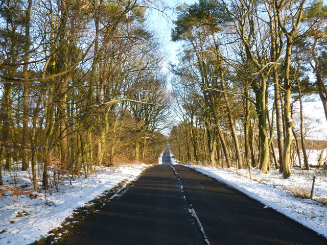
Glenhead Wood is a stunning forest located in Lanarkshire, Scotland. It covers an area of approximately 200 hectares and is renowned for its natural beauty and diverse flora and fauna. The wood is situated near the town of Lesmahagow, making it easily accessible for both locals and tourists.

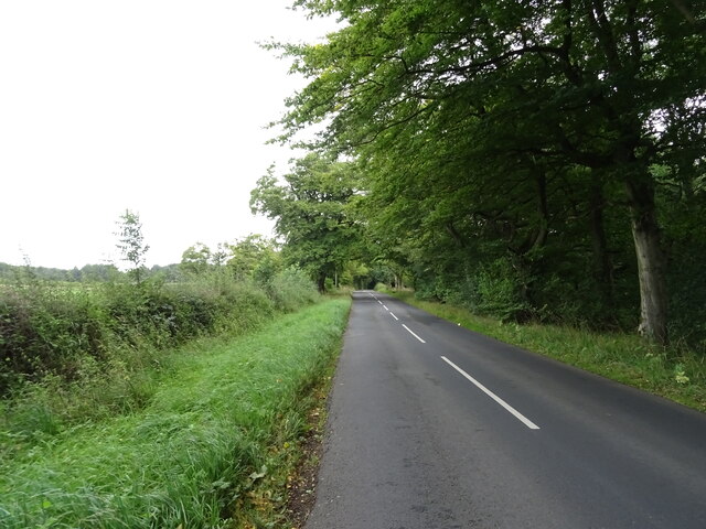
The forest is predominantly composed of native broadleaf trees, such as oak, birch, and ash, which create a dense and vibrant canopy. These trees provide a habitat for a wide range of wildlife, including birds, squirrels, and deer. Glenhead Wood is particularly known for its birdlife, with species such as woodpeckers, owls, and various songbirds frequently spotted by visitors.

The wood offers several well-maintained walking trails, allowing visitors to explore its scenic surroundings. These paths lead to picturesque viewpoints, tranquil ponds, and enchanting waterfalls, providing ample opportunities for photography and relaxation. Moreover, Glenhead Wood is part of the Clyde Valley Woodlands National Nature Reserve, ensuring its protection and preservation for future generations.

In addition to its natural beauty, Glenhead Wood also holds historical significance. The area was once inhabited by ancient settlements, and traces of their presence can still be found, such as standing stones and burial mounds. These archaeological remnants add an extra layer of intrigue to the forest, attracting history enthusiasts and archaeology buffs.

Overall, Glenhead Wood is a captivating destination for nature lovers, hikers, and those seeking a peaceful retreat. Its lush vegetation, diverse wildlife, and rich history make it a true gem of Lanarkshire.

If you have any feedback on the listing, please let us know in the comments section below.

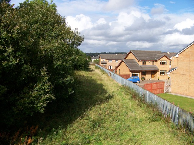
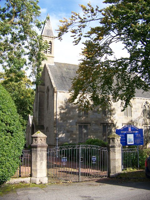
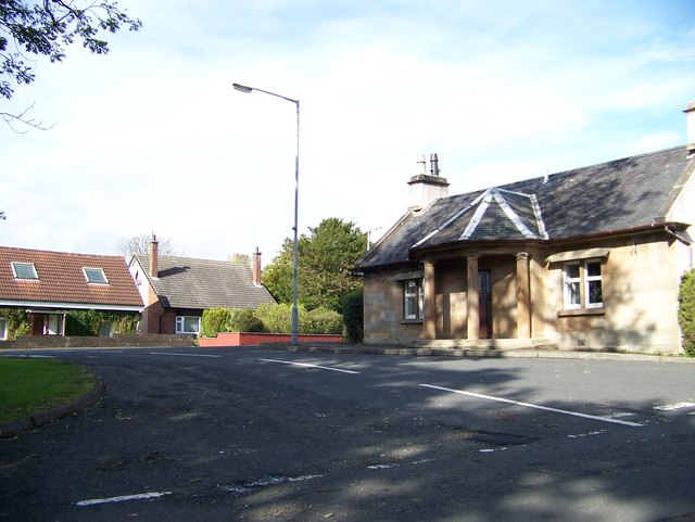
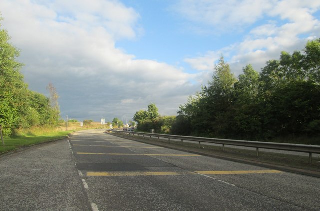
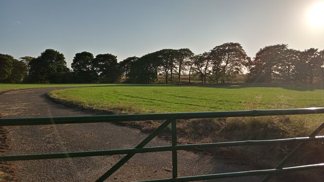
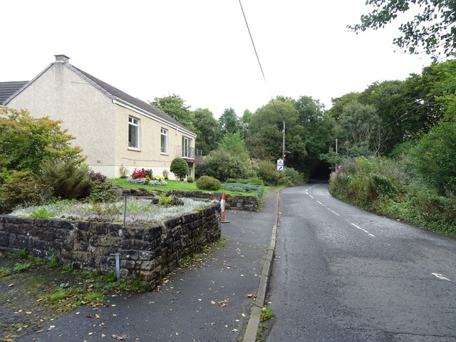
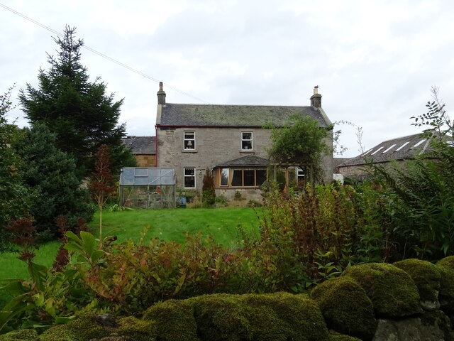
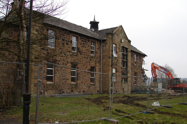
Glenhead Wood Images

Images are sourced within 2km of 55.798961/-3.8767813 or Grid Reference NS8257. Thanks to Geograph Open Source API. All images are credited.

Houses backing onto the disused rail track at Newmains
Bonkle Parish Church
A house with pillars in Bonkle I don't know if this was a gate house or a toll house
A house with pillars in Bonkle
I don't know if this was a gate house or a toll house
The A71 heading south-west At Bonkle in North Lanarkshire.
The A71 heading south-west
At Bonkle in North Lanarkshire.
Lay by on the southbound A73 Nearing Newmains.
Lay by on the southbound A73
Nearing Newmains.
Housing at Newmains in North Lanarkshire At the side of the A73.
Housing at Newmains in North Lanarkshire
At the side of the A73.
Road near Hill of Murdostoun A minor road through farmland in Lanarkshire.
Road near Hill of Murdostoun
A minor road through farmland in Lanarkshire.
A Driveway to Nowhere This driveway appears to be missing a house. It has the perfect curve for leading to a well-appointed country home, but instead just leads to a square of tarmac. There is no obvious sign of anything having burned down, and the mystery dead end is on the paper map.
It could of course just be some hardstanding for shipping containers or similar to get plonked on, but people rarely go the trouble of making things this professionally for the likes of that.
A Driveway to Nowhere
This driveway appears to be missing a house. It has the perfect curve for leading to a well-appointed country home, but instead just leads to a square of tarmac. There is no obvious sign of anything having burned down, and the mystery dead end is on the paper map. It could of course just be some hardstanding for shipping containers or similar to get plonked on, but people rarely go the trouble of making things this professionally for the likes of that.
Foulburn Railway Bridge I'm pretty sure that the bridge nameplate wrongly calls the bridge 'Fullburn', but the nameplate is too far away to tell, and my efforts to find an online exhaustive listing of railway bridge numbers and names have been unsuccessful.
I did, however, stumble across the Railway Data Centre website. I imagine trainspotters have known about it for ages, but if anyone hasn't come across it, it's quite the thing. It turns out that all railway bridges are numbered sequentially - obviously a fair proportion of the original bridges have been demolished since, leading to gaps between numbers - between railway junctions. In other words, each stand-alone section of track has its own bridge numbers. The easiest way to find out the ELR (Engineer's Line Reference) code for a certain section of track is to type in the nearest railway station. These codes almost always appear on the bridge's nameplates too.
Once armed with the ELR you can look at a table of bridges along that section of track. Distances from the datum junction are given along with the type of bridge (beam / underline), its construction material (early steel), and a grading of its condition (58%) recorded at the date of its last official inspection (2012)  Mostly, but not in this case, the bridge name is given, and occasionally, as in this case, the date of construction is given (1869).
The gradient of the track between points along the section is also given, along with a chart - it is remarkable how flat the railways actually are. On top of this, station details are included, along with those of tunnels and level crossings, though EGS2 - the ELR code for this track section (Edinburgh to Glasgow via Shotts) - has neither.
Foulburn was a farm, situated to the left of the picture, on this side of the railway. A few traces remain but the site is now in the later stages of being turned into an official gypsy site - accordingly there are plenty of horses grazing in subdivided fields directly behind the new development.
Although an unnamed drain or burn ran South into the old farm area, there is no Foul Burn marked on any maps here past or present. Since Foul Burn - of which there are a few in Scotland - seems to have always referred to a foul smelling burn, it seems odd that people would name anything after it. But maybe back then house names were like personal names and you just had to go with the name you were given!
Foulburn Railway Bridge
I'm pretty sure that the bridge nameplate wrongly calls the bridge 'Fullburn', but the nameplate is too far away to tell, and my efforts to find an online exhaustive listing of railway bridge numbers and names have been unsuccessful. I did, however, stumble across the Railway Data Centre website. I imagine trainspotters have known about it for ages, but if anyone hasn't come across it, it's quite the thing. It turns out that all railway bridges are numbered sequentially - obviously a fair proportion of the original bridges have been demolished since, leading to gaps between numbers - between railway junctions. In other words, each stand-alone section of track has its own bridge numbers. The easiest way to find out the ELR (Engineer's Line Reference) code for a certain section of track is to type in the nearest railway station. These codes almost always appear on the bridge's nameplates too. Once armed with the ELR you can look at a table of bridges along that section of track. Distances from the datum junction are given along with the type of bridge (beam / underline), its construction material (early steel), and a grading of its condition (58%) recorded at the date of its last official inspection (2012) Mostly, but not in this case, the bridge name is given, and occasionally, as in this case, the date of construction is given (1869). The gradient of the track between points along the section is also given, along with a chart - it is remarkable how flat the railways actually are. On top of this, station details are included, along with those of tunnels and level crossings, though EGS2 - the ELR code for this track section (Edinburgh to Glasgow via Shotts) - has neither. Foulburn was a farm, situated to the left of the picture, on this side of the railway. A few traces remain but the site is now in the later stages of being turned into an official gypsy site - accordingly there are plenty of horses grazing in subdivided fields directly behind the new development. Although an unnamed drain or burn ran South into the old farm area, there is no Foul Burn marked on any maps here past or present. Since Foul Burn - of which there are a few in Scotland - seems to have always referred to a foul smelling burn, it seems odd that people would name anything after it. But maybe back then house names were like personal names and you just had to go with the name you were given!
Houses on Captain's Walk
Westwood Drive
Westwood Drive
Shawstonfoot Road
Shawstonfoot Road
Hill of Murdostoun Farm
Barns, Hill of Murdostoun Farm
Grazing near Hill of Murdostoun Farm Off Shawstonfoot Road.
Grazing near Hill of Murdostoun Farm
Off Shawstonfoot Road.
Shawstonfoot Road near Hill of Murdostoun Farm
Sheep grazing off Foulburn Road
Shank Strip  Woodland beside Foulburn Road.
Shank Strip
Woodland beside Foulburn Road.
Show me another place!

Glenhead Wood is located at Grid Ref: NS8257 (Lat: 55.798961, Lng: -3.8767813)

Unitary Authority: North Lanarkshire

Police Authority: Lanarkshire

What 3 Words

///playback.pictures.quality. Near Newmains, North Lanarkshire

Related Wikis

Bonkle

Bonkle is a village 3 miles (4.8 km) north-east of Wishaw in North Lanarkshire, Scotland. It is sited on the east bank of the South Calder Water. Murdostoun...

Newmains railway station

Newmains railway station served the village of Newmains, North Lanarkshire, Scotland from 1867 to 1930 on the Cleland to Morningside Line. == History... ==

Newmains

Newmains is a village and former mining community on the eastern edge of Wishaw, North Lanarkshire, Scotland, 18 miles (29 km) south-east of Glasgow. Although...

Cleland Hospital

Cleland Hospital is a health facility in Auchinlea Drive, Cleland, North Lanarkshire, Scotland. It is managed by NHS Lanarkshire. == History == The facility...
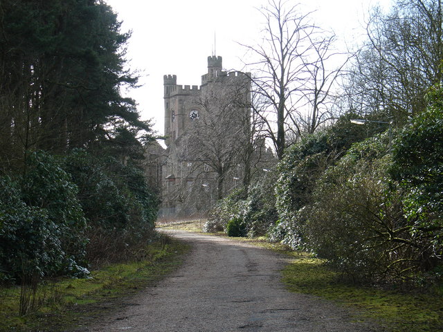
Hartwood Hospital

Hartwood Hospital was a psychiatric hospital located in the village of Hartwood near the town of Shotts in Scotland. == History == The hospital was designed...

Cleland railway station

Cleland railway station is a railway station serving the village of Cleland, near Motherwell in North Lanarkshire, Scotland. Built on the Cleland and Midcalder...

Cleland, North Lanarkshire

Cleland is a village near Motherwell and Wishaw in North Lanarkshire, Scotland, . As of 2018, it has a population of about 3,000. The village has a strong...

Cleland (Old) railway station

Cleland (Old) railway station was opened in 1867 on the Cleland to Morningside Junction line that had opened in 1864. The extension of the Cleland Branch...

Nearby Amenities

Located within 500m of 55.798961,-3.8767813
Stable Glen
Place: locality
Lat/Long: 55.7951144/-3.8793044
The data included in this document is from www.openstreetmap.org. The data is made available under ODbL.

Have you been to Glenhead Wood?

Leave your review of Glenhead Wood below (or comments, questions and feedback).