Stable Glen
Valley in Lanarkshire
Scotland
Stable Glen
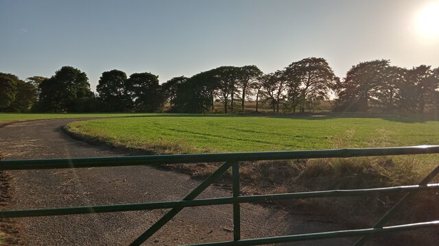
Stable Glen, located in Lanarkshire, Scotland, is a picturesque and tranquil valley that offers breathtaking natural beauty and a rich history. Nestled in the heart of the Scottish Lowlands, this charming glen is a haven for nature lovers and outdoor enthusiasts.
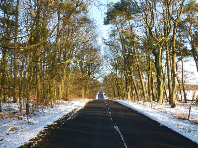
The glen is named after the stable buildings that were once used by local farmers and shepherds. Today, these historic structures stand as a reminder of the area's agricultural past. The glen is known for its lush green fields, rolling hills, and meandering streams that flow through the valley, creating a serene and idyllic atmosphere.
Visitors to Stable Glen can enjoy a variety of activities, including hiking, cycling, and birdwatching. The glen is home to a diverse range of plant and animal species, making it a haven for nature enthusiasts. The surrounding woodlands provide ample opportunities for exploring and discovering the local flora and fauna.
In addition to its natural beauty, Stable Glen also boasts a rich historical heritage. The glen is dotted with ancient ruins and archaeological sites, dating back to various periods in history. These sites offer a glimpse into the past and provide insights into the lives of the people who once inhabited the area.
Stable Glen is a popular destination for both locals and tourists looking to escape the hustle and bustle of city life. Its tranquil ambiance, stunning landscapes, and fascinating history make it a must-visit location for anyone seeking a peaceful retreat in the heart of Lanarkshire.
If you have any feedback on the listing, please let us know in the comments section below.
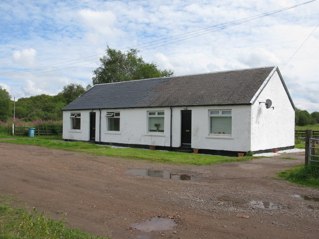
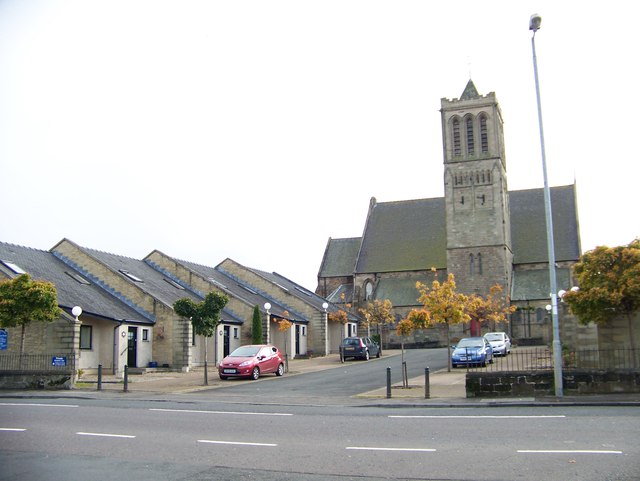
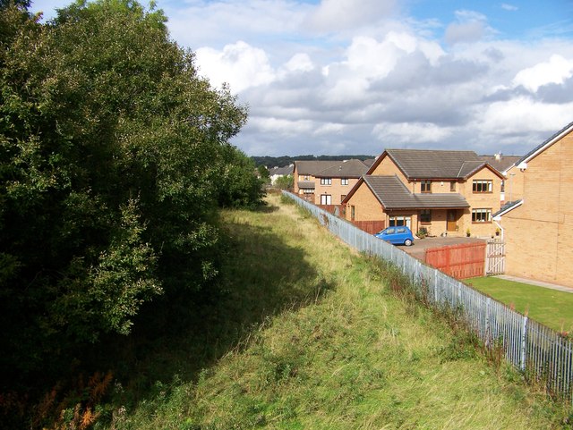
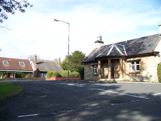
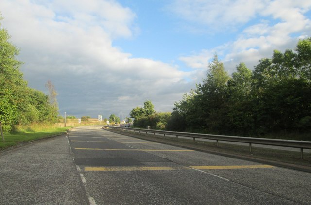
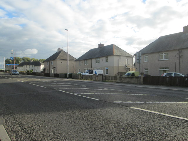
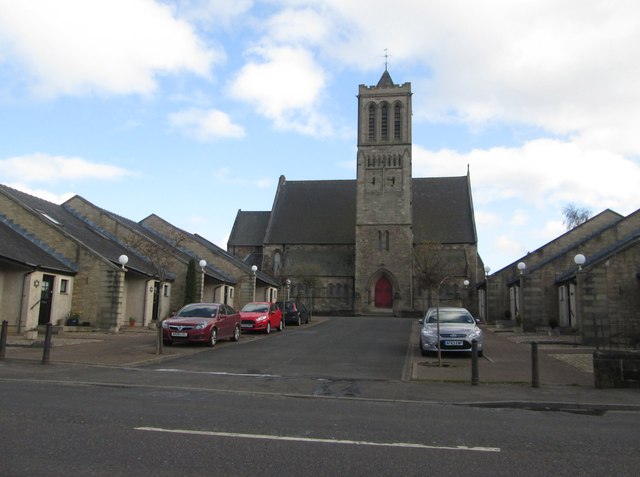
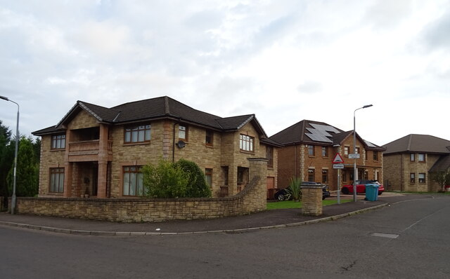
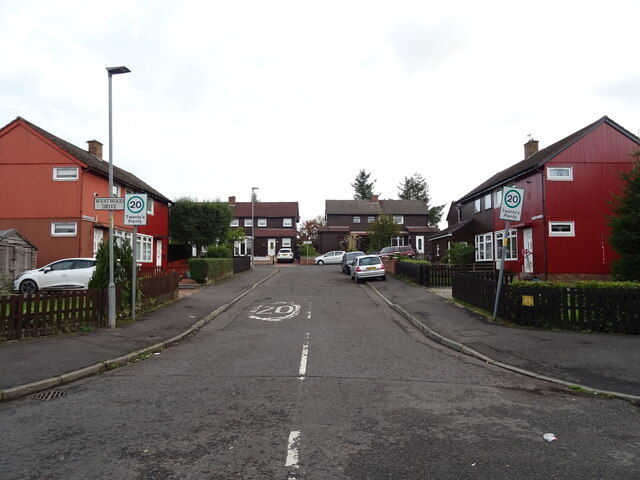
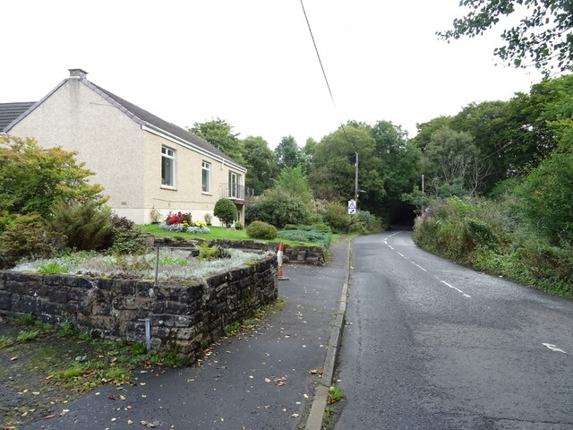
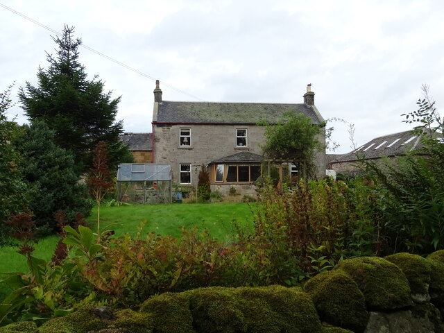
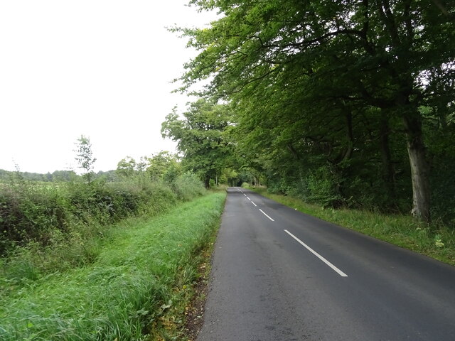
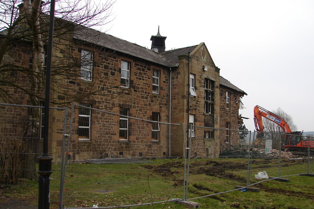
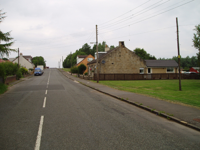
Stable Glen Images
Images are sourced within 2km of 55.795567/-3.8771604 or Grid Reference NS8257. Thanks to Geograph Open Source API. All images are credited.


Stable Glen is located at Grid Ref: NS8257 (Lat: 55.795567, Lng: -3.8771604)
Unitary Authority: North Lanarkshire
Police Authority: Lanarkshire
What 3 Words
///credit.strapped.comedy. Near Newmains, North Lanarkshire
Nearby Locations
Related Wikis

Newmains railway station
Newmains railway station served the village of Newmains, North Lanarkshire, Scotland from 1867 to 1930 on the Cleland to Morningside Line. == History... ==

Bonkle
Bonkle is a village 3 miles (4.8 km) north-east of Wishaw in North Lanarkshire, Scotland. It is sited on the east bank of the South Calder Water. Murdostoun...

Newmains
Newmains is a village and former mining community on the eastern edge of Wishaw, North Lanarkshire, Scotland, 18 miles (29 km) south-east of Glasgow. Although...
Cleland Hospital
Cleland Hospital is a health facility in Auchinlea Drive, Cleland, North Lanarkshire, Scotland. It is managed by NHS Lanarkshire. == History == The facility...
Newmains United Community F.C.
Newmains United Football Club are a Scottish football club based in the village of Newmains, near the towns of Wishaw and Motherwell. They play their home...
Morningside, North Lanarkshire
Morningside is a small village in North Lanarkshire, Scotland. It is located around 3⁄4 mile (1.2 km) south of Newmains, and 2+1⁄4 miles (3.6 km) east...
Cambusnethan railway station
Cambusnethan railway station served the village of Cambusnethan, North Lanarkshire, Scotland, from 1901 to 1917 on the Wishaw, Cambusnethan and Coltness...

Cambusnethan
Cambusnethan is a large village and suburb on the eastern edge of Wishaw, North Lanarkshire in Scotland. It is approximately 1.5 miles (2.4 km) long, straddling...
Nearby Amenities
Located within 500m of 55.795567,-3.8771604Have you been to Stable Glen?
Leave your review of Stable Glen below (or comments, questions and feedback).