South Rookery
Wood, Forest in Lanarkshire
Scotland
South Rookery
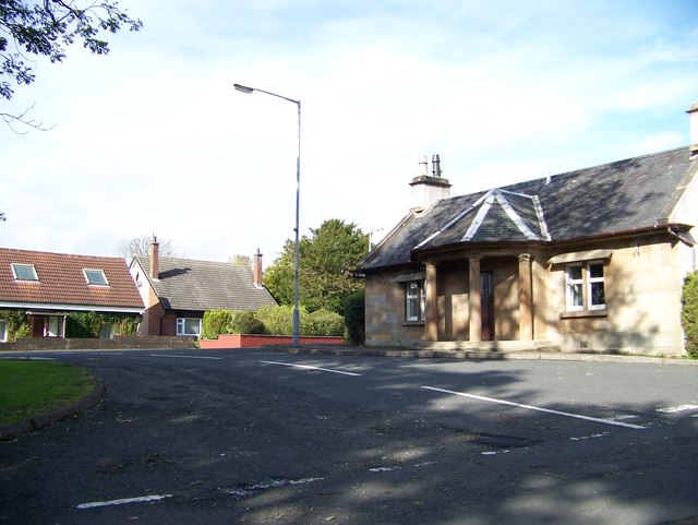
South Rookery is a small village located in the region of Lanarkshire, Scotland. Situated amidst lush woodlands and forests, it offers residents and visitors a serene and picturesque setting. The village is characterized by its natural beauty, with abundant greenery and a tranquil atmosphere.
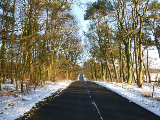
The woodlands of South Rookery are home to various species of trees, including oak, birch, and pine, creating a diverse and vibrant ecosystem. The forest cover provides a habitat for a wide range of wildlife, including deer, foxes, and numerous bird species, making it a haven for nature enthusiasts and wildlife lovers.
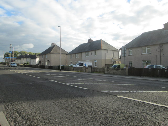
The village itself is quaint and charming, with traditional stone-built houses and narrow winding streets. The locals are known for their warm hospitality and strong sense of community, creating a welcoming and friendly atmosphere.
South Rookery is a haven for outdoor enthusiasts, offering a plethora of activities such as hiking, cycling, and nature walks. The surrounding woodlands provide numerous trails for exploration, allowing visitors to immerse themselves in the natural beauty of the area.
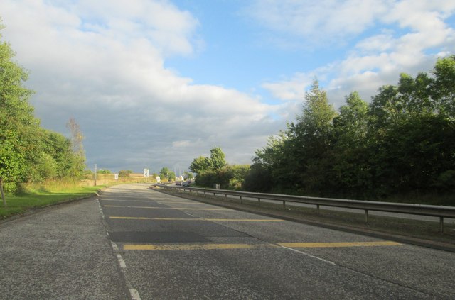
Despite its rural setting, South Rookery is well-connected to nearby towns and cities. The village has good transport links, with regular bus services and easy access to major road networks. This makes it an ideal location for those seeking a peaceful retreat while still being within reach of urban amenities.
In summary, South Rookery in Lanarkshire is a charming village nestled in woodlands and forests, offering a picturesque setting, a strong sense of community, and a range of outdoor activities for nature enthusiasts to enjoy.
If you have any feedback on the listing, please let us know in the comments section below.
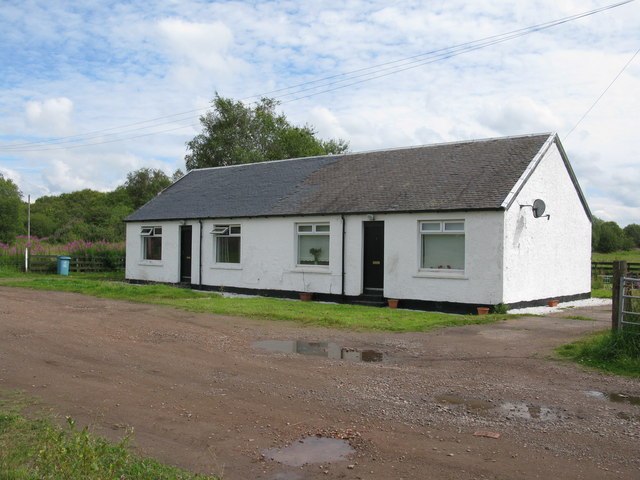
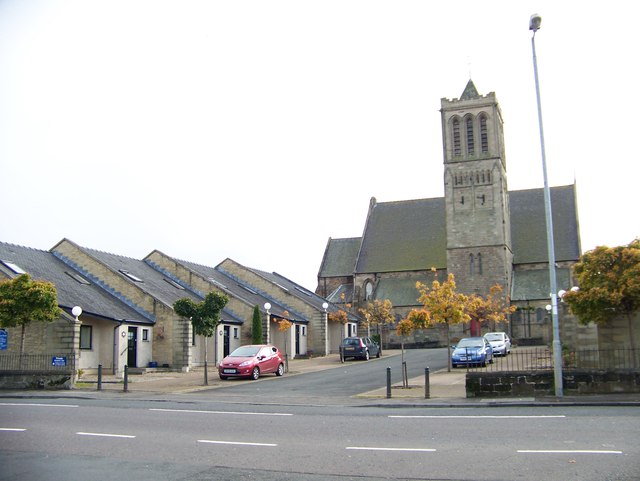
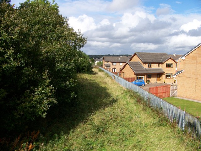
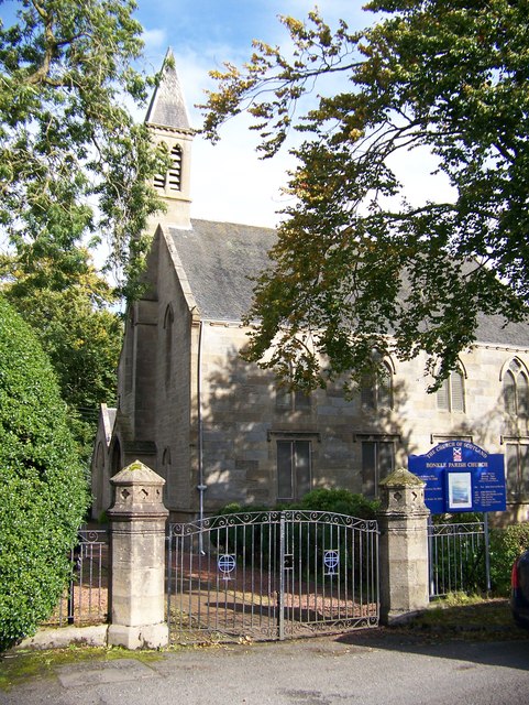
South Rookery Images
Images are sourced within 2km of 55.797665/-3.8768785 or Grid Reference NS8257. Thanks to Geograph Open Source API. All images are credited.


South Rookery is located at Grid Ref: NS8257 (Lat: 55.797665, Lng: -3.8768785)
Unitary Authority: North Lanarkshire
Police Authority: Lanarkshire
What 3 Words
///crisis.deferring.interviewer. Near Newmains, North Lanarkshire
Nearby Locations
Related Wikis

Bonkle
Bonkle is a village 3 miles (4.8 km) north-east of Wishaw in North Lanarkshire, Scotland. It is sited on the east bank of the South Calder Water. Murdostoun...

Newmains railway station
Newmains railway station served the village of Newmains, North Lanarkshire, Scotland from 1867 to 1930 on the Cleland to Morningside Line. == History... ==

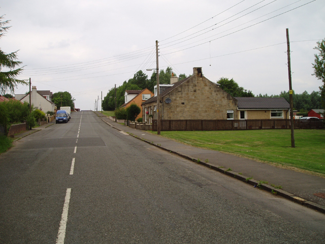
Newmains
Newmains is a village and former mining community on the eastern edge of Wishaw, North Lanarkshire, Scotland, 18 miles (29 km) south-east of Glasgow. Although...
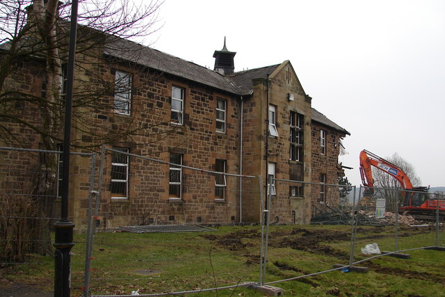
Cleland Hospital
Cleland Hospital is a health facility in Auchinlea Drive, Cleland, North Lanarkshire, Scotland. It is managed by NHS Lanarkshire. == History == The facility...
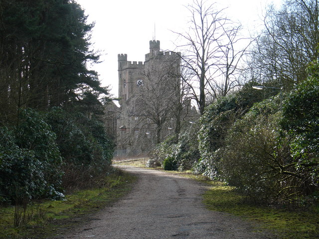
Hartwood Hospital
Hartwood Hospital was a psychiatric hospital located in the village of Hartwood near the town of Shotts in Scotland. == History == The hospital was designed...

Cleland railway station
Cleland railway station is a railway station serving the village of Cleland, near Motherwell in North Lanarkshire, Scotland. Built on the Cleland and Midcalder...
Newmains United Community F.C.
Newmains United Football Club are a Scottish football club based in the village of Newmains, near the towns of Wishaw and Motherwell. They play their home...
Morningside, North Lanarkshire
Morningside is a small village in North Lanarkshire, Scotland. It is located around 3⁄4 mile (1.2 km) south of Newmains, and 2+1⁄4 miles (3.6 km) east...
Nearby Amenities
Located within 500m of 55.797665,-3.8768785Have you been to South Rookery?
Leave your review of South Rookery below (or comments, questions and feedback).