Cuckoo Strip
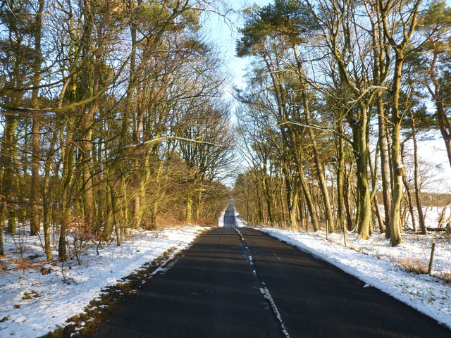
Wood, Forest in Lanarkshire
Scotland
Cuckoo Strip

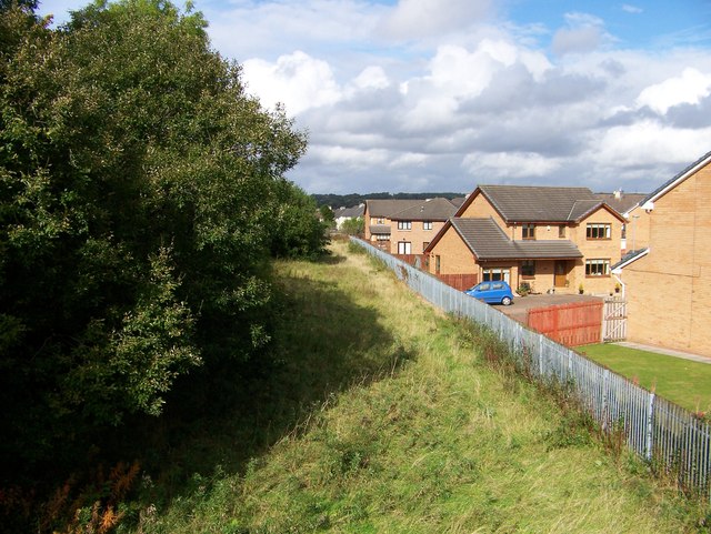
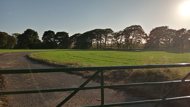
Cuckoo Strip, located in Lanarkshire, Scotland, is a picturesque woodland area known for its abundant flora and fauna. This enchanting forest offers visitors a serene and tranquil escape from the bustling city life. Spanning approximately 200 acres, Cuckoo Strip is home to a variety of tree species, including oak, birch, and pine, creating a diverse and vibrant ecosystem.
The woodland is named after the cuckoo bird, which can be heard singing its distinctive call during the spring and summer months. The area is renowned for its avian population, attracting birdwatchers and nature enthusiasts from far and wide. From great tits and woodpeckers to robins and thrushes, Cuckoo Strip provides a haven for countless bird species.
The forest floor is carpeted with a myriad of wildflowers, such as bluebells and primroses, offering a kaleidoscope of colors during the springtime. The woodland is also home to a variety of mammals, including foxes, rabbits, and deer, which can often be spotted roaming amidst the trees.
Walking trails meander through the woodland, allowing visitors to immerse themselves in the natural beauty and tranquility of the area. These trails are well-maintained and suitable for all ages and fitness levels, making Cuckoo Strip an ideal destination for a leisurely stroll or a more challenging hike.
Cuckoo Strip is a cherished natural gem within Lanarkshire, offering a peaceful retreat for those seeking solace in nature's embrace. Whether it's the melodic song of the cuckoo or the vibrant colors of wildflowers, this woodland sanctuary never fails to captivate the hearts of all who visit.
If you have any feedback on the listing, please let us know in the comments section below.
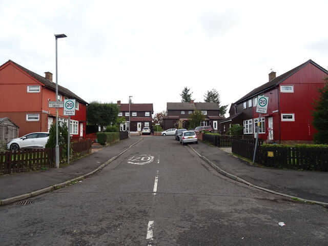
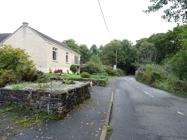
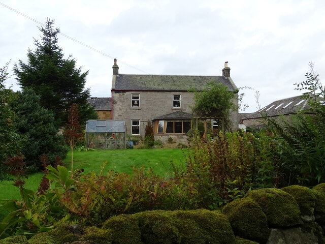
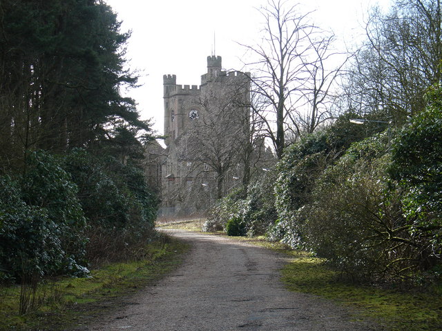
Cuckoo Strip Images
Images are sourced within 2km of 55.798545/-3.8692471 or Grid Reference NS8257. Thanks to Geograph Open Source API. All images are credited.


Cuckoo Strip is located at Grid Ref: NS8257 (Lat: 55.798545, Lng: -3.8692471)
Unitary Authority: North Lanarkshire
Police Authority: Lanarkshire
What 3 Words
///swatting.entire.lime. Near Newmains, North Lanarkshire
Nearby Locations
Related Wikis

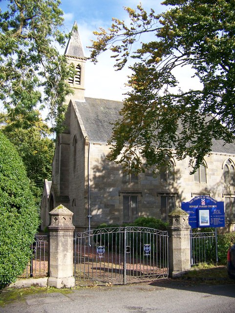
Bonkle
Bonkle is a village 3 miles (4.8 km) north-east of Wishaw in North Lanarkshire, Scotland. It is sited on the east bank of the South Calder Water. Murdostoun...

Newmains railway station
Newmains railway station served the village of Newmains, North Lanarkshire, Scotland from 1867 to 1930 on the Cleland to Morningside Line. == History... ==
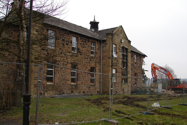
Hartwood Hospital
Hartwood Hospital was a psychiatric hospital located in the village of Hartwood near the town of Shotts in Scotland. == History == The hospital was designed...

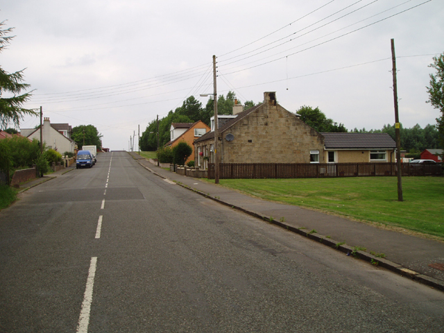
Newmains
Newmains is a village and former mining community on the eastern edge of Wishaw, North Lanarkshire, Scotland, 18 miles (29 km) south-east of Glasgow. Although...
Morningside, North Lanarkshire
Morningside is a small village in North Lanarkshire, Scotland. It is located around 3⁄4 mile (1.2 km) south of Newmains, and 2+1⁄4 miles (3.6 km) east...
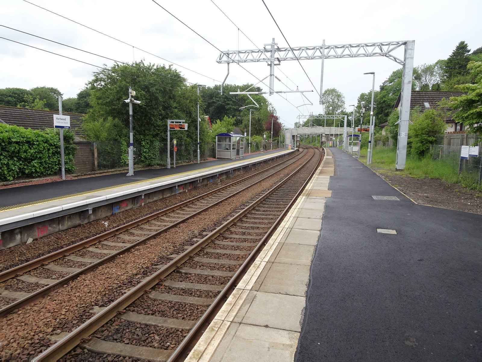
Hartwood railway station
Hartwood railway station is a railway station serving Hartwood in North Lanarkshire, Scotland. It is on the Shotts Line, 19 miles (31 km) east of Glasgow...

Hartwood
Hartwood (Scots: Hertwid, Scottish Gaelic: Coille an Daimh) is a village in North Lanarkshire, Scotland. Nearby settlements include Shotts, Allanton and...
Cleland Hospital
Cleland Hospital is a health facility in Auchinlea Drive, Cleland, North Lanarkshire, Scotland. It is managed by NHS Lanarkshire. == History == The facility...
Nearby Amenities
Located within 500m of 55.798545,-3.8692471Have you been to Cuckoo Strip?
Leave your review of Cuckoo Strip below (or comments, questions and feedback).