Townhead Wood
Wood, Forest in Perthshire
Scotland
Townhead Wood

The requested URL returned error: 429 Too Many Requests
If you have any feedback on the listing, please let us know in the comments section below.
Townhead Wood Images
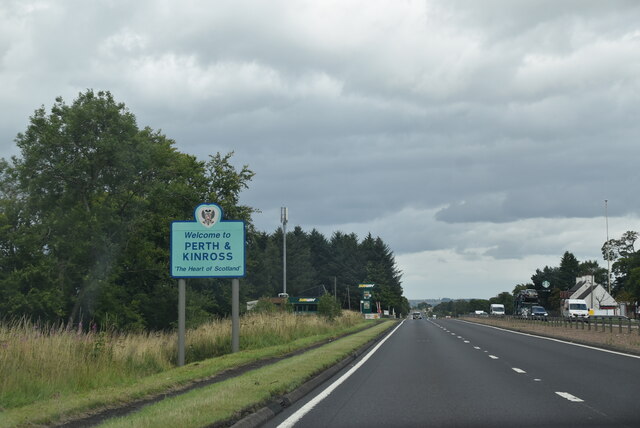
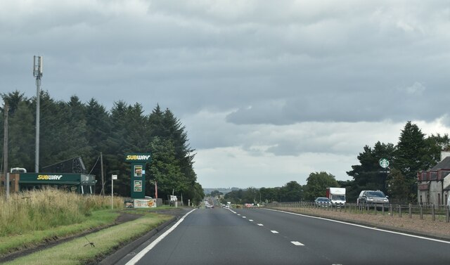
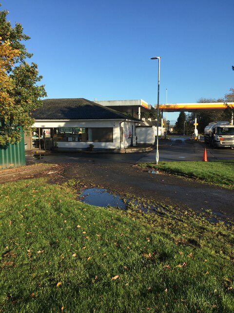
Images are sourced within 2km of 56.229146/-3.8907007 or Grid Reference NN8205. Thanks to Geograph Open Source API. All images are credited.


Townhead Wood is located at Grid Ref: NN8205 (Lat: 56.229146, Lng: -3.8907007)
Unitary Authority: Perth and Kinross
Police Authority: Tayside
What 3 Words
///goods.lifeboats.kitten. Near Dunblane, Stirling
Nearby Locations
Related Wikis

Glenbank
Glenbank was the site of a Roman fortlet associated with the Gask Ridge in Scotland. It was discovered from aerial photography by G. S. Maxwell in 1983...

Greenloaning
Greenloaning is a village in Perth and Kinross, Perthshire, Scotland. It lies by the Allan Water and the Stirling-Perth Railway line. It is 1 mile (1...
Greenloaning railway station
Greenloaning railway station served the village of Greenloaning, Perth and Kinross, Scotland from 1848 to 1956 on the Scottish Central Railway. == History... ==
Strathallan
Strathallan is the strath of the Allan Water in Scotland. The strath stretches north and north-east from Stirling through Bridge of Allan, Dunblane and...
Related Videos
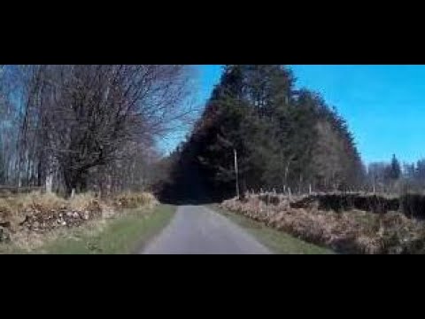
Spring Road Trip Drive With Music On History Visit To Greenloaning Strathallan Perthshhire Scotland
Tour Scotland 4K Spring travel video, with Scottish music, of a road trip drive mostly on a single track road, with passing places, ...
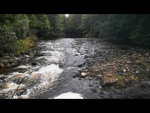
💦💦ALLAN WATER RIVER 💦💦 AMAZING Sound 👌👌
The Allan Water is a river in central Scotland. Rising in the Ochil Hills, it runs through Strathallan to Dunblane and Bridge of Allan ...
Nearby Amenities
Located within 500m of 56.229146,-3.8907007Have you been to Townhead Wood?
Leave your review of Townhead Wood below (or comments, questions and feedback).