Barlochan Wood

Wood, Forest in Kirkcudbrightshire

Scotland

Barlochan Wood

Sheep grazing beside the Doach Burn
Sheep grazing beside the Doach Burn Credit: Richard Sutcliffe

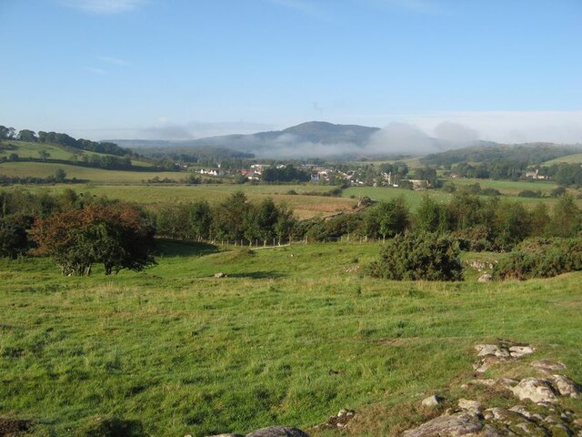
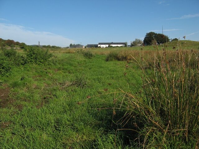
Barlochan Wood is a picturesque forest located in the region of Kirkcudbrightshire, Scotland. Covering an area of approximately 150 acres, it is a popular destination for nature enthusiasts and outdoor lovers. The woodland is situated near the village of Palnackie, offering visitors easy access to its natural wonders.

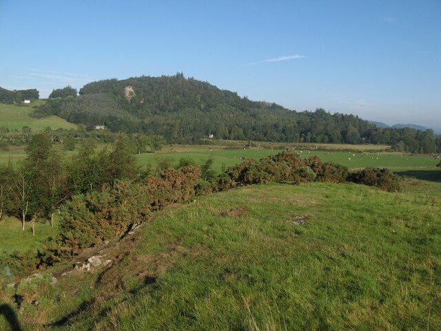
Barlochan Wood is predominantly composed of native broadleaved trees, including oak, ash, birch, and beech. These trees provide a diverse and vibrant habitat for a variety of flora and fauna. Bluebells, wild garlic, and wood anemones carpet the forest floor during spring, creating a stunning display of colors.

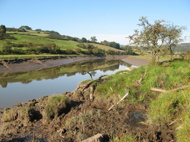
The woodland is crisscrossed by a network of well-maintained walking trails, allowing visitors to explore its beauty at their own pace. These paths meander through the forest, leading to viewpoints that offer breathtaking vistas of the surrounding countryside and the nearby Loch Ken.

The forest is also home to an abundance of wildlife. Red squirrels, roe deer, and numerous bird species can be spotted throughout the woodland. Birdwatchers will particularly appreciate the opportunity to catch a glimpse of the elusive redstarts and lesser spotted woodpeckers that inhabit the area.

Barlochan Wood is managed by the Forestry Commission Scotland, which ensures the conservation of its natural heritage and the sustainability of its resources. The commission also organizes occasional events and activities for visitors, such as guided walks and educational programs.

Overall, Barlochan Wood is a captivating destination that offers a tranquil retreat for those seeking to immerse themselves in the beauty of nature. Its diverse ecosystem, scenic trails, and abundant wildlife make it a must-visit location for anyone exploring Kirkcudbrightshire.

If you have any feedback on the listing, please let us know in the comments section below.

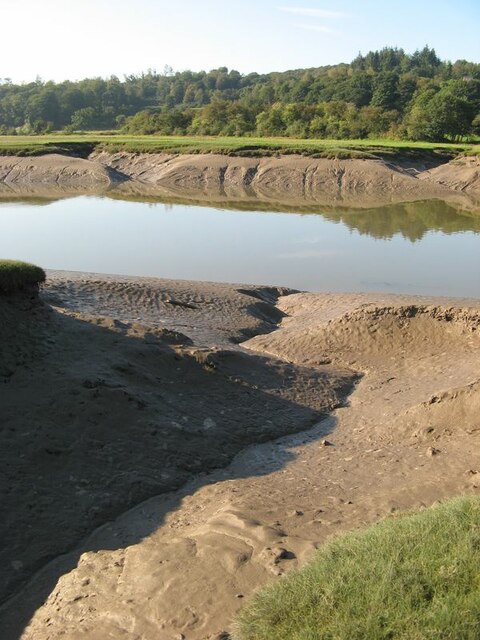
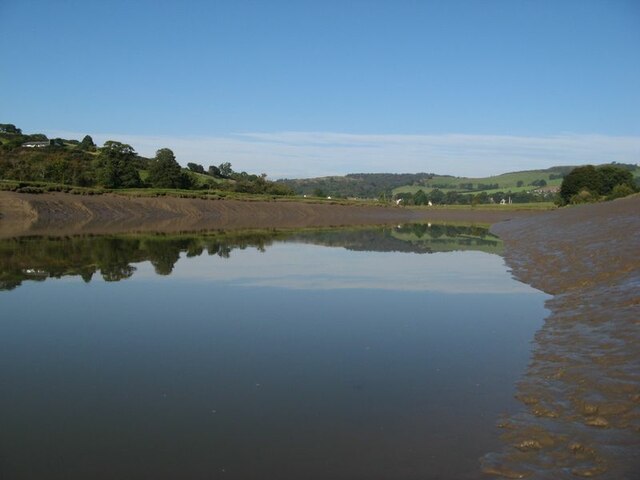
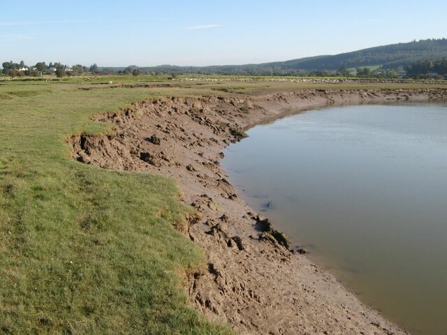
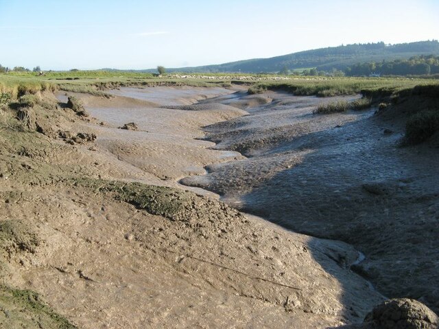
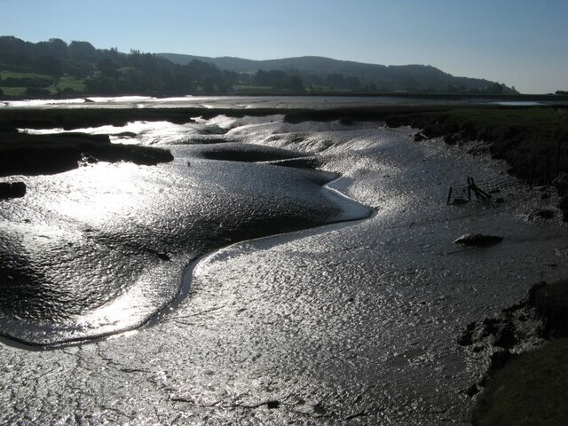
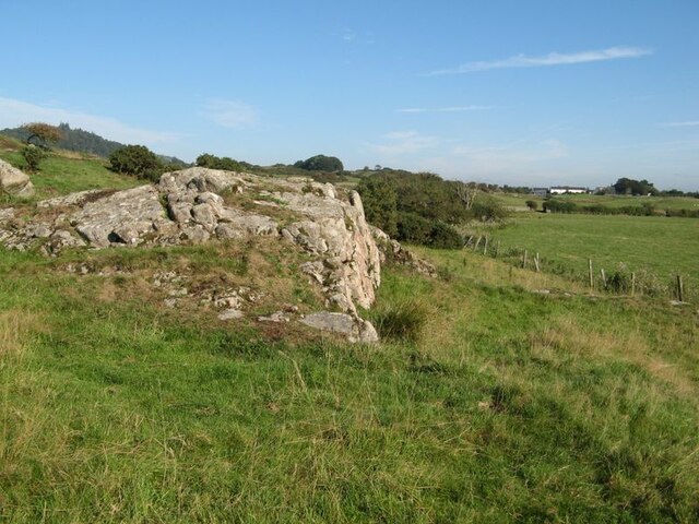
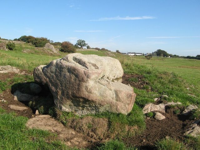
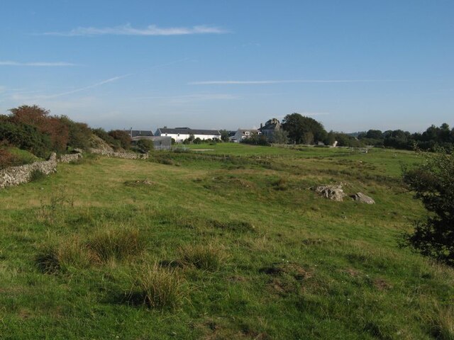
Barlochan Wood Images

Images are sourced within 2km of 54.900543/-3.8461655 or Grid Reference NX8157. Thanks to Geograph Open Source API. All images are credited.

Sheep grazing beside the Doach Burn
Tall trees, Doach Wood The wood contains some of the tallest trees in south-west Scotland, growing up to 40 metres high.
Tall trees, Doach Wood
The wood contains some of the tallest trees in south-west Scotland, growing up to 40 metres high.
Urr Water valley Despite its prominence on the map, the river is lost in the landscape of meadows, woodland and hedges. The view across the valley takes in the vision of Screel Hill rising above early mists.
Urr Water valley
Despite its prominence on the map, the river is lost in the landscape of meadows, woodland and hedges. The view across the valley takes in the vision of Screel Hill rising above early mists.
Urr Water valley 2 A view to the northwest over the valley of the Urr Water, which is invisible in its distant, incised course. Lush meadows occupy the low ground, in contrast to the granite knoll from which the image was captured.
Urr Water valley 2
A view to the northwest over the valley of the Urr Water, which is invisible in its distant, incised course. Lush meadows occupy the low ground, in contrast to the granite knoll from which the image was captured.
Urr Water by Palnackie Brae A view upstream of the river at low tide with reflections of Palnackie Brae.
Urr Water by Palnackie Brae
A view upstream of the river at low tide with reflections of Palnackie Brae.
Boulder cache The fields atop the hill of Meikle Richorn have been improved by pulling out large boulders which are gathered in clumps like this. Granite is a rock easily quarried by glacial processes, so these are not far-travelled and reflect the underlying geology, though actual rock outcrop is sparse.
Boulder cache
The fields atop the hill of Meikle Richorn have been improved by pulling out large boulders which are gathered in clumps like this. Granite is a rock easily quarried by glacial processes, so these are not far-travelled and reflect the underlying geology, though actual rock outcrop is sparse.
Muddy river banks Mud banks at the side of Urr Water on a falling tide, though there is a good way to go yet.
Muddy river banks
Mud banks at the side of Urr Water on a falling tide, though there is a good way to go yet.
Morning reflections Still water on the Urr in the early morning.
Morning reflections
Still water on the Urr in the early morning.
Riverbank and salt marsh Diverse habitats in the estuary of Urr Water, which meanders in an impressive fashion.
Riverbank and salt marsh
Diverse habitats in the estuary of Urr Water, which meanders in an impressive fashion.
Creek meanders Fabulous, sinuous forms and billowing banks in the mud of a tidal creek.
Creek meanders
Fabulous, sinuous forms and billowing banks in the mud of a tidal creek.
Mud reflections Fabulous forms highlighted by reflection in this contra-jour image of a meandering creek at low tide.
Mud reflections
Fabulous forms highlighted by reflection in this contra-jour image of a meandering creek at low tide.
Granite outcrop Rock outcrop at the edge of low ground reaching out from Meiklebob Farm. This is a pretty spot, and very different from the neighbouring prairies of silage with vast cowsheds.
Granite outcrop
Rock outcrop at the edge of low ground reaching out from Meiklebob Farm. This is a pretty spot, and very different from the neighbouring prairies of silage with vast cowsheds.
Granite boulder A large glacial erratic boulder sits close to the granite outcrop of the higher ground. This appears to be a favourite spot for the farm animals to rub themselves when needed.
Granite boulder
A large glacial erratic boulder sits close to the granite outcrop of the higher ground. This appears to be a favourite spot for the farm animals to rub themselves when needed.
Meiklebob Farm The farm occupies elevated ground around which the river flows on three sides. Divestment of the dairying business resulted in redevelopment of the older outbuildings into holiday lets which command a fine view over Rough Firth in the distance.
Meiklebob Farm
The farm occupies elevated ground around which the river flows on three sides. Divestment of the dairying business resulted in redevelopment of the older outbuildings into holiday lets which command a fine view over Rough Firth in the distance.
Wetland by a stream A small stream runs down from the farm, but it has disappeared into wet grassland at this time of low flow.
Wetland by a stream
A small stream runs down from the farm, but it has disappeared into wet grassland at this time of low flow.
Sheep at pasture Granite outcrop at the top of sheep pasture.
Sheep at pasture
Granite outcrop at the top of sheep pasture.
Trawler, Barlochan Port The tight harbour at Polnackie on the Urr estuary. The two master behind is La Malouine, a sail training vessel.
Trawler, Barlochan Port
The tight harbour at Polnackie on the Urr estuary. The two master behind is La Malouine, a sail training vessel.
Mud, Polnackie The river was running fast inland on a spring flood tide.
Mud, Polnackie
The river was running fast inland on a spring flood tide.
Show me another place!

Barlochan Wood is located at Grid Ref: NX8157 (Lat: 54.900543, Lng: -3.8461655)

Unitary Authority: Dumfries and Galloway

Police Authority: Dumfries and Galloway

What 3 Words

///workbook.dives.handfuls. Near Dalbeattie, Dumfries & Galloway

Related Wikis

Palnackie

Palnackie is a village in the parish of Buittle in the historical county of Kirkcudbrightshire in Dumfries and Galloway, Scotland. It has a population...

Buittle Bridge

Buittle Bridge, also known as Craignair Bridge is a bridge over the Urr Water just outside Dalbeattie in Dumfries and Galloway, Scotland. Completed in...

Dalbeattie High School

Dalbeattie High School is a small rural secondary school on the edge of Dalbeattie in the historical county of Kirkcudbrightshire in the local council...

Rockcliffe, Dumfries and Galloway

Rockcliffe is a small, coastal village in Kirkcudbrightshire, Dumfries and Galloway in Scotland, with a view of Rough Island, Hestan Island, the Solway...

Kippford

Kippford (/ˈkɪpfəd/; otherwise Scaur) is a small village along the Solway coast, in the historic county of Kirkcudbrightshire in Dumfries and Galloway...

Dalbeattie

Dalbeattie (, Scots: Dawbeattie, Scottish Gaelic: Dail Bheithe meaning 'haugh of the birch' or Dail bhàite 'drowned (i.e. liable to flood) haugh') is a...

Buittle Castle

Buittle Castle, also known historically as Botle or Botel Castle, is a Motte and Bailey site in Galloway, south-west Scotland with significant early and...

Dalbeattie Town Hall

Dalbeattie Town Hall is a municipal building in the High Street in Dalbeattie, Dumfries and Galloway, Scotland. The structure, which is used as community...

Nearby Amenities

Located within 500m of 54.900543,-3.8461655
Barlochan Hill
Ele: 162
Natural: peak
Lat/Long: 54.9016264/-3.8523685
Raven's Craig
Natural: rock
Lat/Long: 54.9024098/-3.8399945
The data included in this document is from www.openstreetmap.org. The data is made available under ODbL.

Have you been to Barlochan Wood?

Leave your review of Barlochan Wood below (or comments, questions and feedback).