Duns Wood

Wood, Forest in Perthshire

Scotland

Duns Wood

Road and old boundary, Braes of Doune The road appeared around the time the wind farm was built, but is not used as the main access.
Road and old boundary, Braes of Doune Credit: Richard Webb

The requested URL returned error: 429 Too Many Requests

If you have any feedback on the listing, please let us know in the comments section below.
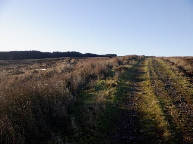
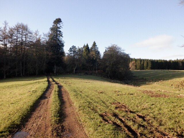
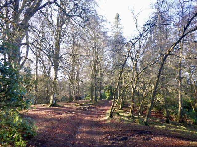
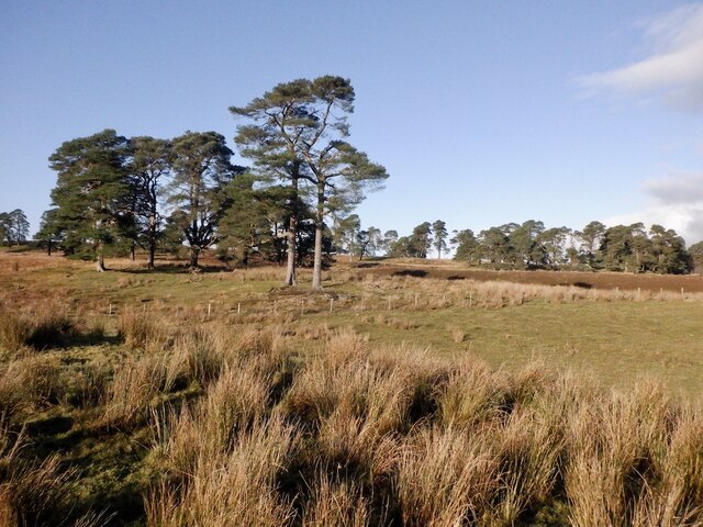
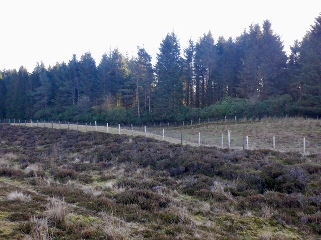
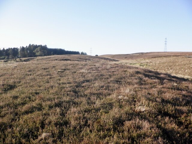
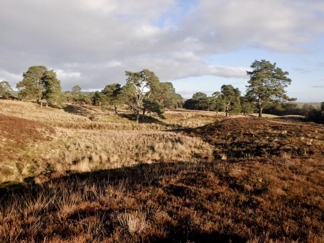
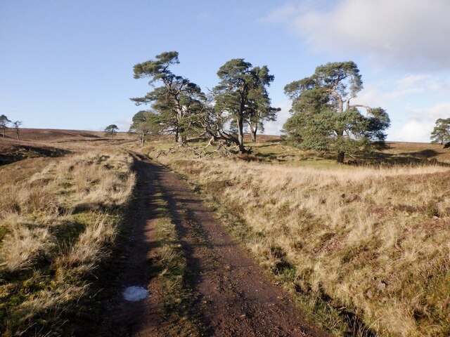
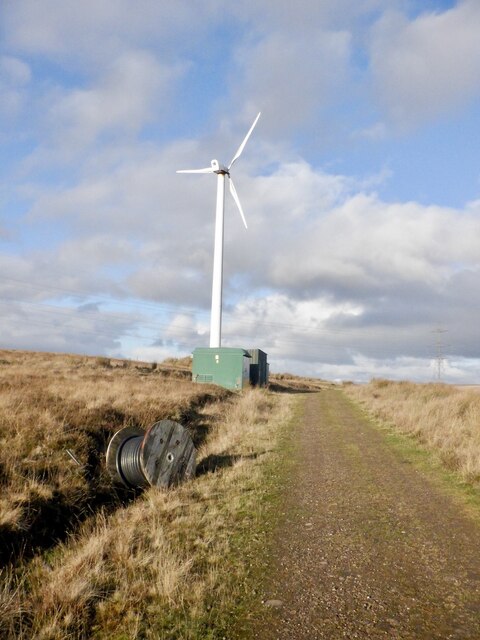
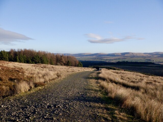
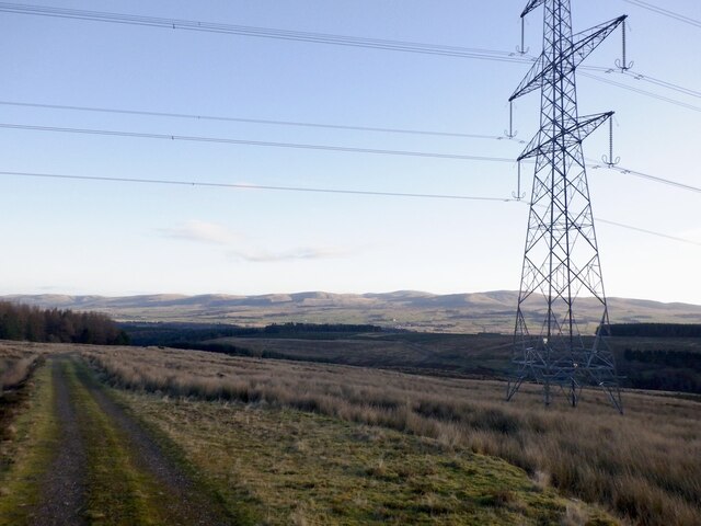
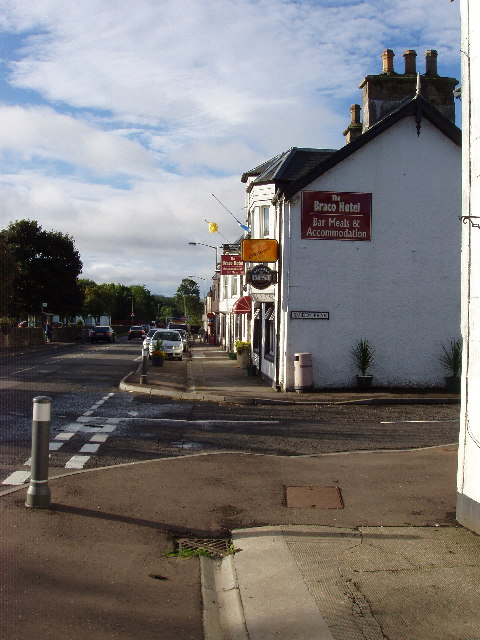
Duns Wood Images

Images are sourced within 2km of 56.276744/-3.9119154 or Grid Reference NN8111. Thanks to Geograph Open Source API. All images are credited.

Road and old boundary, Braes of Doune The road appeared around the time the wind farm was built, but is not used as the main access.
Road and old boundary, Braes of Doune
The road appeared around the time the wind farm was built, but is not used as the main access.
Road to Braco Castle
Waterfalls, River Knaik Shelves of sandstone form a series of low falls at Devil's Pool
Waterfalls, River Knaik
Shelves of sandstone form a series of low falls at Devil's Pool
Devil's Pool Shelves of sandstone form a series of low falls at Devil's Pool
Devil's Pool
Shelves of sandstone form a series of low falls at Devil's Pool
Road and parkland, Braco Castle
Parkland and Braco Castle Farm
Road sign, Braco Castle Estate The road goes on to the moorland and some through routes.
Road sign, Braco Castle Estate
The road goes on to the moorland and some through routes.
Track, Castle Park Along one of the several parallel ridges that are very much a feature here.
Track, Castle Park
Along one of the several parallel ridges that are very much a feature here.
Duns Wood, Braco Castle
Pine woods, Braco Castle Estate Mature pines above the River Knaik.
Pine woods, Braco Castle Estate
Mature pines above the River Knaik.
Moorland edge, Braco Castle Estate
Ridge, Braco Castle Estate There is some complex contour detail here, with a series of parallel ridges and long reentrants.
Ridge, Braco Castle Estate
There is some complex contour detail here, with a series of parallel ridges and long reentrants.
Pine woods, Braco Castle Estate Mature pines above the River Knaik.
Pine woods, Braco Castle Estate
Mature pines above the River Knaik.
Road to Cromlet Passing pines on the way to a couple of wind turbines and the moors beyond.
Road to Cromlet
Passing pines on the way to a couple of wind turbines and the moors beyond.
Wind turbine, Braco Castle Estate One of a pair.
Wind turbine, Braco Castle Estate
One of a pair.
Mobile telephone mast, Cromlet Newly installed with a new road up from Glenlichorn joining the road shown here.
Mobile telephone mast, Cromlet
Newly installed with a new road up from Glenlichorn joining the road shown here.
Road west of Braco A road up to the Braes of Doune wind farm. It is not the main access route and does not appear to get heavy usage.
Road west of Braco
A road up to the Braes of Doune wind farm. It is not the main access route and does not appear to get heavy usage.
Beauly Denny power line
Show me another place!

Duns Wood is located at Grid Ref: NN8111 (Lat: 56.276744, Lng: -3.9119154)

Unitary Authority: Perth and Kinross

Police Authority: Tayside

What 3 Words

///mile.fuses.circular. Near Dunblane, Stirling

Nearby Locations

Duns Wood

Related Wikis

Ardoch, Perth and Kinross

Ardoch is a community in Perth and Kinross in Scotland, the largest population of which is in the village of Braco, west-southwest of Perth. == Geography... ==

Black Hill Roman Camps

Black Hill Roman Camps are two Roman camps that are part of an extensive complex of Roman military sites centred around the fort at Ardoch, Perth and...

Braco, Perth and Kinross

Braco ( BRAY-koh) is a village in Perth and Kinross, Scotland, with a population of 515. It is located 5 miles (8 kilometres) north of Dunblane towards...

Greenloaning railway station

Greenloaning railway station served the village of Greenloaning, Perth and Kinross, Scotland from 1848 to 1956 on the Scottish Central Railway. == History... ==

Nearby Amenities

Located within 500m of 56.276744,-3.9119154
Ford: yes
Lat/Long: 56.2771813/-3.9185541
Power: pole
Lat/Long: 56.2734092/-3.911989
Power: pole
Lat/Long: 56.2737414/-3.9102319
Power: pole
Lat/Long: 56.2738877/-3.9091421
Power: pole
Lat/Long: 56.2741699/-3.9069583
The data included in this document is from www.openstreetmap.org. The data is made available under ODbL.

Have you been to Duns Wood?

Leave your review of Duns Wood below (or comments, questions and feedback).