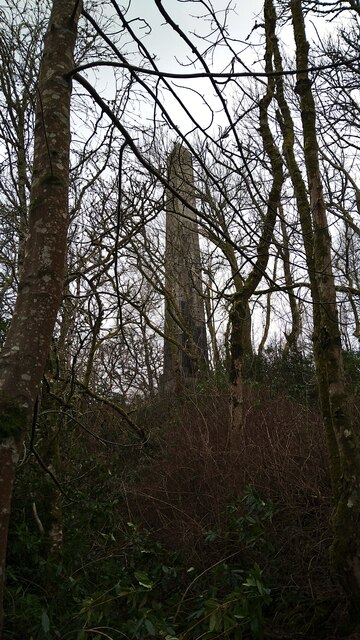
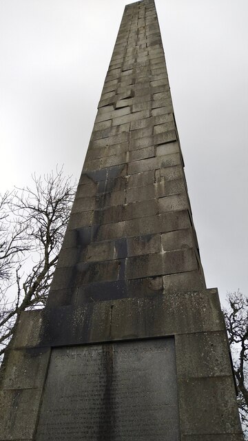
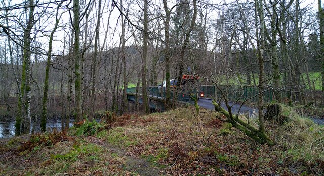
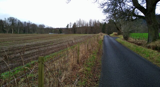
Strowan Wood

Wood, Forest in Perthshire

Scotland

Strowan Wood

General Sir David Baird's monument This monument is now so overgrown that photography is difficult.  In summer, with leaves on the trees, it would be nigh on impossible!

For more information, see <a title="https://www.geograph.org.uk/photo/60968" href="https://www.geograph.org.uk/photo/60968">Link</a>
General Sir David Baird's monument Credit: Gordon Brown

The requested URL returned error: 429 Too Many Requests

If you have any feedback on the listing, please let us know in the comments section below.
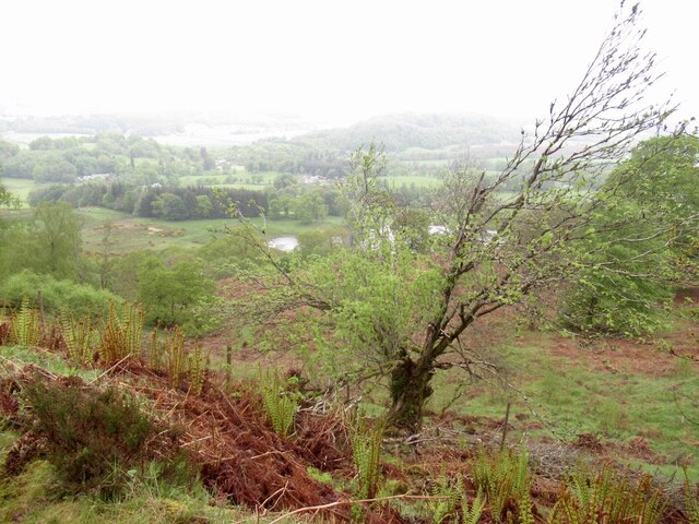
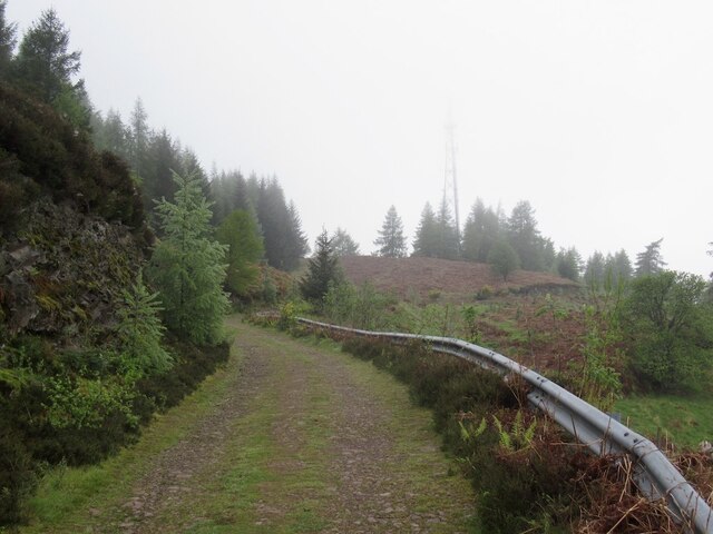
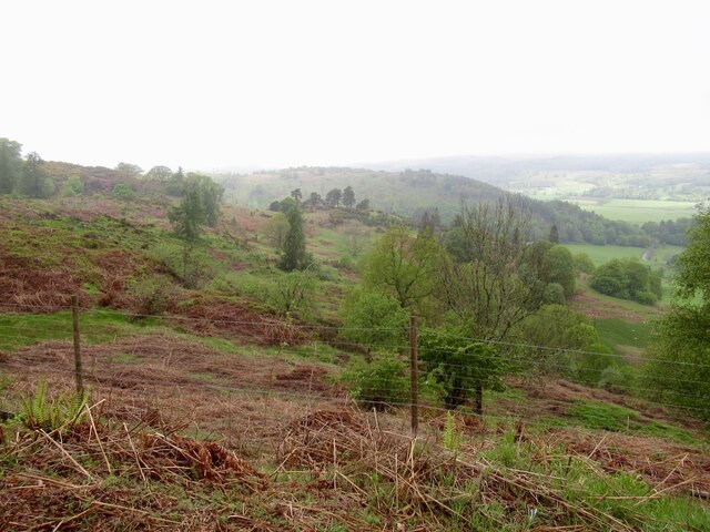
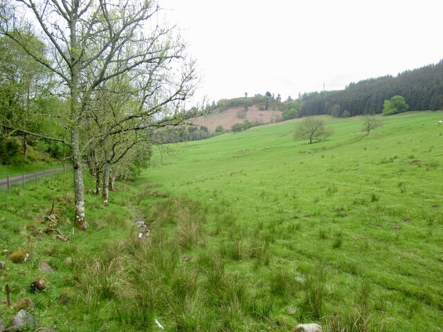
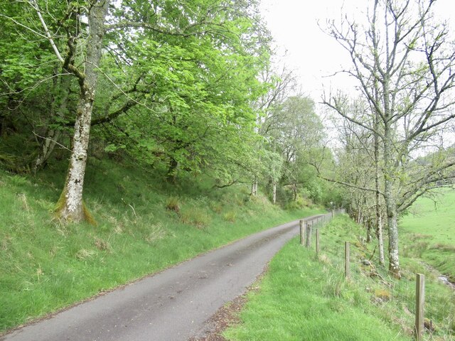
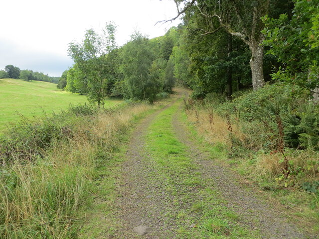
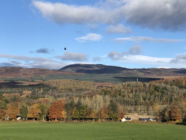
Strowan Wood Images

Images are sourced within 2km of 56.370875/-3.9164984 or Grid Reference NN8121. Thanks to Geograph Open Source API. All images are credited.
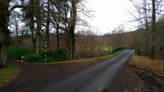
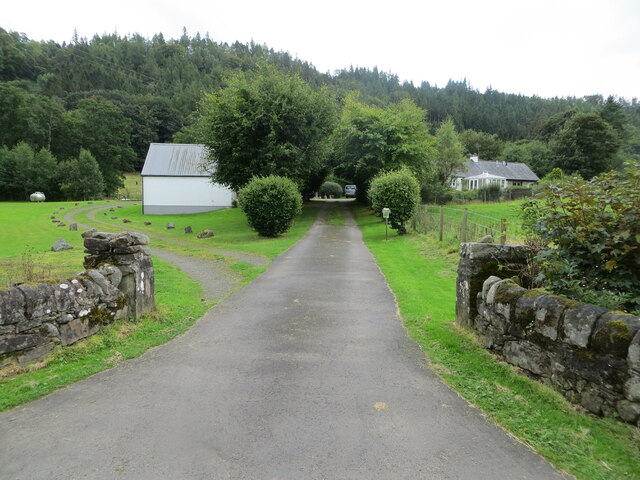
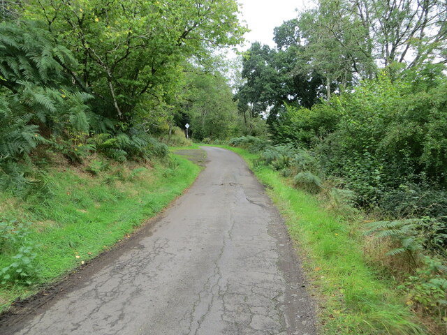
General Sir David Baird's monument This monument is now so overgrown that photography is difficult.  In summer, with leaves on the trees, it would be nigh on impossible!

For more information, see <a title="https://www.geograph.org.uk/photo/60968" href="https://www.geograph.org.uk/photo/60968">Link</a>
General Sir David Baird's monument
This monument is now so overgrown that photography is difficult. In summer, with leaves on the trees, it would be nigh on impossible! For more information, see Link
Sir David Baird Monument See also <a title="https://www.geograph.org.uk/photo/60968" href="https://www.geograph.org.uk/photo/60968">Link</a>
Sir David Baird Monument
See also Link
New Strowan Bridge, over the River Earn
Heading south from New Strowan Bridge
New Strowan Bridge and the entrance to Strowan House
Woodland above Strowan The northern slopes of Torlum.
Woodland above Strowan
The northern slopes of Torlum.
Road below Torlum The road has been here long before the television relay mast. Presumably the mast is the reason for the Armco.
Road below Torlum
The road has been here long before the television relay mast. Presumably the mast is the reason for the Armco.
Woodland above Strowan South of the road here is a dense plantation, but the downhill side is a glorious light woodland with numerous young trees.
Woodland above Strowan
South of the road here is a dense plantation, but the downhill side is a glorious light woodland with numerous young trees.
Field, Glascorrie Amongst the conifer plantations.
Field, Glascorrie
Amongst the conifer plantations.
Road, Glascorrie Beneath the young trees in Newburgh Wood.
Road, Glascorrie
Beneath the young trees in Newburgh Wood.
Track giving access to Balnalt and Norctoft Looking southward.
Track giving access to Balnalt and Norctoft
Looking southward.
Access to and parking at Strowan Woodland Cemetery Looking north-eastward.
[More details for the cemetery can be found at : <span class="nowrap"><a title="http://www.ecoburial.me/" rel="nofollow ugc noopener" href="http://www.ecoburial.me/">Link</a><img style="margin-left:2px;" alt="External link" title="External link - shift click to open in new window" src="https://s1.geograph.org.uk/img/external.png" width="10" height="10"/></span>]
Access to and parking at Strowan Woodland Cemetery
Looking north-eastward. [More details for the cemetery can be found at : LinkExternal link]
Track and path to Glentarf via Newburgh Wood Looking westward.
Track and path to Glentarf via Newburgh Wood
Looking westward.
Minor road with Passing Place near to Newburgh Cottage Looking north-eastward.
Minor road with Passing Place near to Newburgh Cottage
Looking north-eastward.
Ordnance Survey Bolt This bolt can be found on top of the parapet wall of Lennoch Burn Bridge near Balnat.
The recorded details give a height of 53.706 metres above sea level.
For more detail see : <span class="nowrap"><a title="https://www.bench-marks.org.uk/bm179764" rel="nofollow ugc noopener" href="https://www.bench-marks.org.uk/bm179764">Link</a><img style="margin-left:2px;" alt="External link" title="External link - shift click to open in new window" src="https://s1.geograph.org.uk/img/external.png" width="10" height="10"/></span>
Ordnance Survey Bolt
This bolt can be found on top of the parapet wall of Lennoch Burn Bridge near Balnat. The recorded details give a height of 53.706 metres above sea level. For more detail see : LinkExternal link
View across Strath Earn Across the fields at Strowan towards the hills around Glen Turret.
View across Strath Earn
Across the fields at Strowan towards the hills around Glen Turret.
Minor road, Strowan
Minor road, Strowan
View, Strowan Across Strath Earn towards Ben Chonzie and Càrn Chòis.
View, Strowan
Across Strath Earn towards Ben Chonzie and Càrn Chòis.
Show me another place!

Strowan Wood is located at Grid Ref: NN8121 (Lat: 56.370875, Lng: -3.9164984)

Unitary Authority: Perth and Kinross

Police Authority: Tayside

What 3 Words

///duet.drape.create. Near Comrie, Perth & Kinross

Nearby Locations

Strowan Wood

Related Wikis

Loch Monzievaird

Loch Monzievaird (Scottish Gaelic: Loch Moighidh a' Bhàird) is a loch in Scotland, located in the region of Perthshire. == History == King Kenneth III...

Monzievaird

Monzievaird () is a place in Scotland, situated 2 miles (3 km) west of Crieff in Highland District of Perth and Kinross. The village of Monzie; (pronounced...

Ochtertyre

Ochtertyre is a country house and estate in Perth and Kinross, Scotland. It is located in Strathearn, between Crieff and Loch Turret, north of the A85...

Falls of Turret

Falls of Turret is a waterfall of Scotland. == See also == Waterfalls of Scotland == References ==

Nearby Amenities

Located within 500m of 56.370875,-3.9164984
Addr City: Crieff
Addr Housename: Strowan House
Addr Postcode: PH7 4HU
Description: House and farm
Lat/Long: 56.3690188/-3.9130151
Strowan
Name Gd: Sruthan
Place: hamlet
Lat/Long: 56.367347/-3.9135825
Give Way
Direction: forward
Lat/Long: 56.3676329/-3.9215517
Power: pole
Lat/Long: 56.3738741/-3.9113062
Power: pole
Lat/Long: 56.3736001/-3.9131115
Power: pole
Lat/Long: 56.3733143/-3.9149662
Power: pole
Lat/Long: 56.3730368/-3.9167758
Power: pole
Lat/Long: 56.372764/-3.9185983
Power: pole
Lat/Long: 56.3724746/-3.9204658
Power: pole
Lat/Long: 56.3721959/-3.9222754
Power: pole
Lat/Long: 56.3719077/-3.924145
Power: pole
Lat/Long: 56.3743069/-3.9120493
Power: pole
Lat/Long: 56.3668099/-3.9166644
The data included in this document is from www.openstreetmap.org. The data is made available under ODbL.

Have you been to Strowan Wood?

Leave your review of Strowan Wood below (or comments, questions and feedback).