Barhastry Hill
Hill, Mountain in Kirkcudbrightshire
Scotland
Barhastry Hill

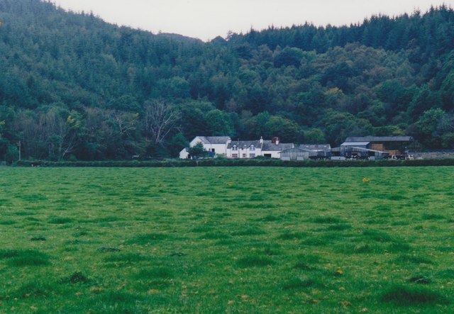
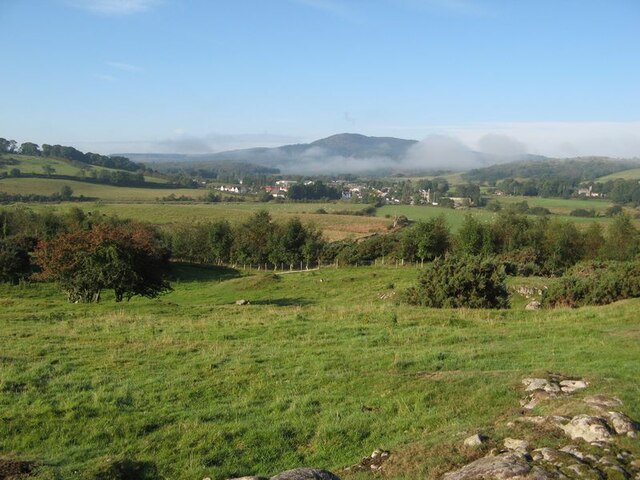
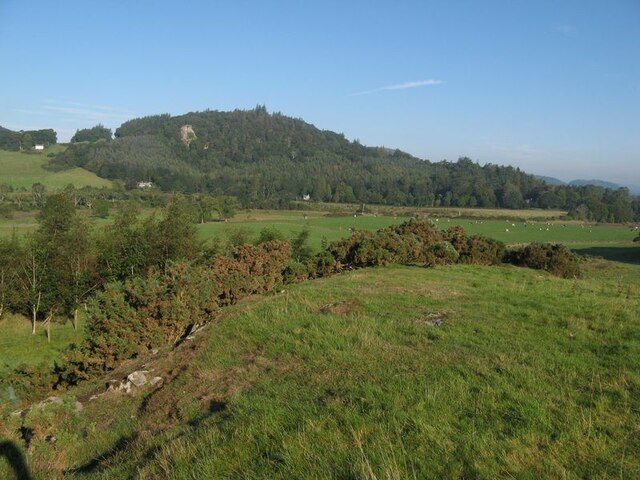
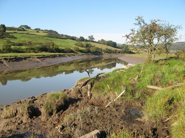
Barhastry Hill is a prominent landmark located in the county of Kirkcudbrightshire, Scotland. Rising to an elevation of approximately 248 meters (814 feet), it is classified as a hill rather than a mountain. Situated near the town of Kirkcudbright, Barhastry Hill offers stunning panoramic views of the surrounding countryside.
The hill is characterized by its gently sloping sides, covered in a patchwork of lush green vegetation. It is primarily composed of sedimentary rocks, including sandstone and shale, which have been shaped over millions of years by natural forces such as erosion and weathering.
Barhastry Hill is home to a diverse range of plant and animal species, including heather, gorse, and various wildflowers. The rich biodiversity of the area attracts a variety of birdlife, making it a popular spot for birdwatching enthusiasts.
Visitors to Barhastry Hill can explore its numerous walking trails, which wind their way through the picturesque landscape. These trails offer both leisurely strolls and more challenging hikes, providing options for all levels of fitness and experience.
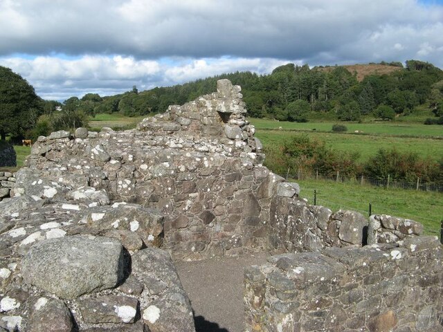
The hill also holds historical significance, with remnants of ancient settlements and burial sites scattered across its slopes. Archaeological excavations have revealed artifacts dating back thousands of years, shedding light on the region's past inhabitants.
Overall, Barhastry Hill is a natural and cultural treasure, offering visitors a chance to experience the beauty of Kirkcudbrightshire's countryside while immersing themselves in its rich history.
If you have any feedback on the listing, please let us know in the comments section below.
Barhastry Hill Images
Images are sourced within 2km of 54.89428/-3.8543464 or Grid Reference NX8157. Thanks to Geograph Open Source API. All images are credited.


Barhastry Hill is located at Grid Ref: NX8157 (Lat: 54.89428, Lng: -3.8543464)
Unitary Authority: Dumfries and Galloway
Police Authority: Dumfries and Galloway
What 3 Words
///pulsing.shorts.enclosing. Near Dalbeattie, Dumfries & Galloway
Nearby Locations
Related Wikis

Palnackie
Palnackie is a village in the parish of Buittle in the historical county of Kirkcudbrightshire in Dumfries and Galloway, Scotland. It has a population...

Rockcliffe, Dumfries and Galloway
Rockcliffe is a small, coastal village in Kirkcudbrightshire, Dumfries and Galloway in Scotland, with a view of Rough Island, Hestan Island, the Solway...

Kippford
Kippford (/ˈkɪpfəd/; otherwise Scaur) is a small village along the Solway coast, in the historic county of Kirkcudbrightshire in Dumfries and Galloway...

Gelston Castle
Gelston Castle, located near Castle Douglas in Kirkcudbrightshire in Dumfries and Galloway, Scotland, was built by Sir William Douglas of Castle Douglas...

Buittle Bridge
Buittle Bridge, also known as Craignair Bridge is a bridge over the Urr Water just outside Dalbeattie in Dumfries and Galloway, Scotland. Completed in...

Orchardton Castle
Orchardton Castle overlooks the Solway Coast. Built in the 1880s, this is a Grade B listed property formerly known as Orchardton House. Built around a...
Rough Firth
Rough Firth is an inlet on the northern coast of the Solway Firth in the Stewartry area of Dumfries and Galloway, Scotland. The firth lies between Almorness...

Buittle Castle
Buittle Castle, also known historically as Botle or Botel Castle, is a Motte and Bailey site in Galloway, south-west Scotland with significant early and...
Nearby Amenities
Located within 500m of 54.89428,-3.8543464Have you been to Barhastry Hill?
Leave your review of Barhastry Hill below (or comments, questions and feedback).