Auchencairn Wood

Wood, Forest in Kirkcudbrightshire

Scotland

Auchencairn Wood

Path to Loch Mackie Rampant bracken has taken hold following the felling of adjacent forestry, but isolated rowans have good colour with abundant berries.
Path to Loch Mackie Credit: Jonathan Wilkins

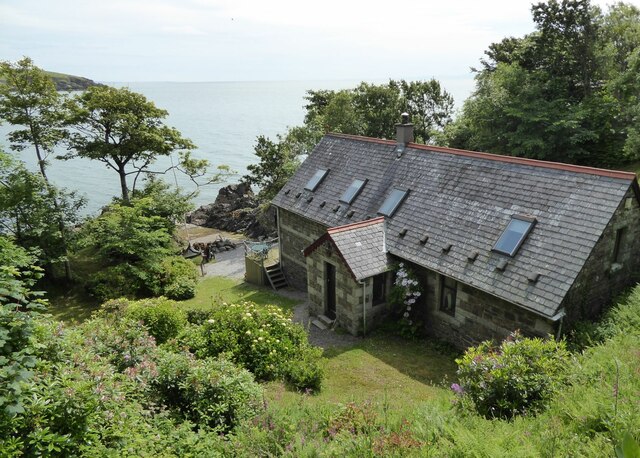
Auchencairn Wood is a picturesque forest located in Kirkcudbrightshire, Scotland. Covering an area of approximately 300 acres, the wood is a popular destination for nature lovers, hikers, and birdwatchers. The forest is home to a diverse range of flora and fauna, including oak, beech, and pine trees, as well as various species of birds, insects, and small mammals.

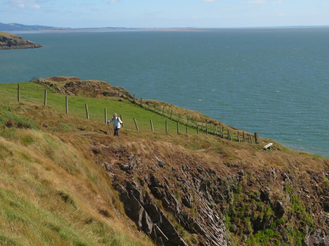
Visitors to Auchencairn Wood can enjoy a network of well-maintained walking trails that meander through the forest, offering stunning views of the surrounding countryside. The peaceful atmosphere of the wood makes it an ideal spot for a leisurely stroll or a quiet picnic.

In addition to its natural beauty, Auchencairn Wood also has a rich history. The forest has been used for timber production for centuries, and remnants of old logging operations can still be seen throughout the area. The wood is also home to several historic sites, including the ruins of an ancient castle and a burial mound dating back to the Bronze Age.

Overall, Auchencairn Wood is a hidden gem in Kirkcudbrightshire, offering visitors a tranquil escape into nature and a glimpse into Scotland's rich past.

If you have any feedback on the listing, please let us know in the comments section below.

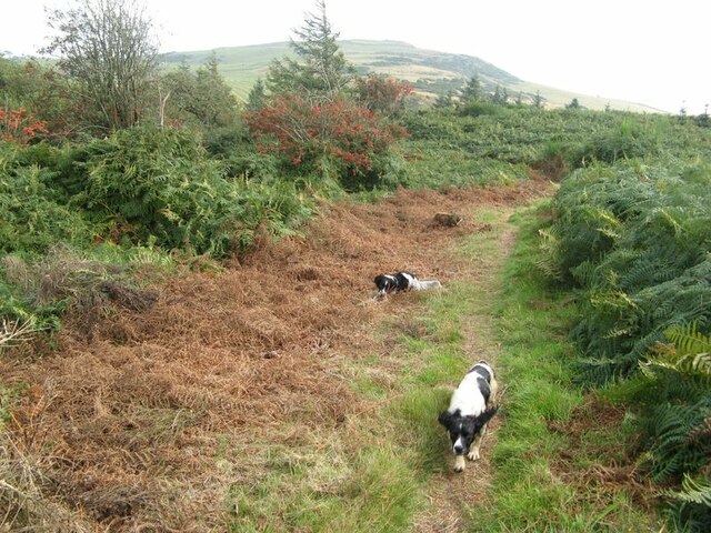
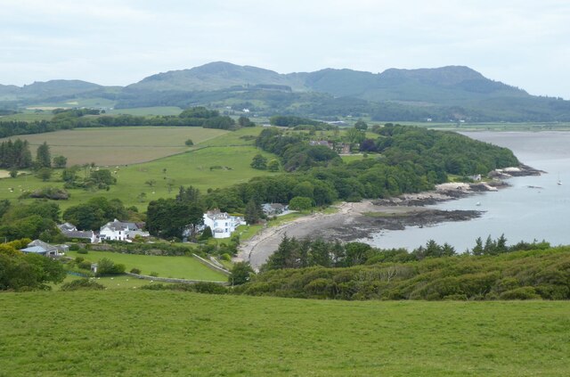
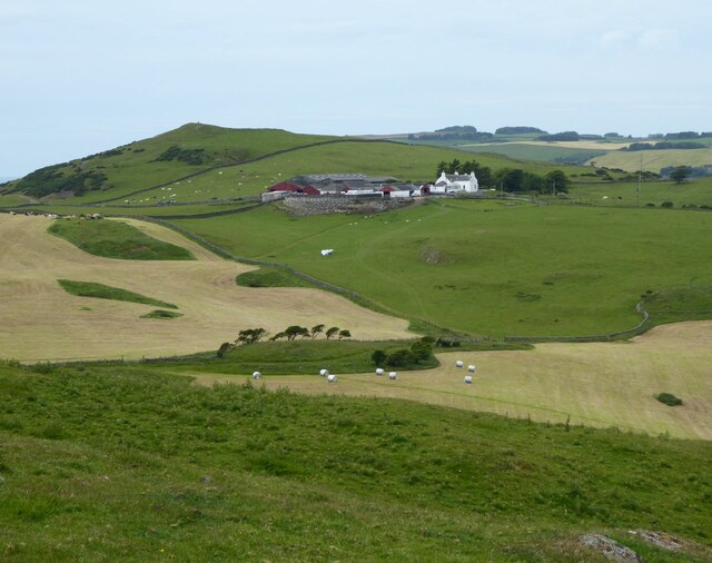
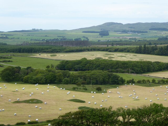
Auchencairn Wood Images

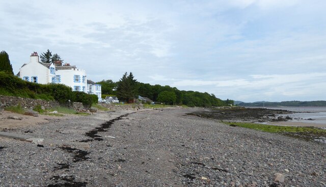
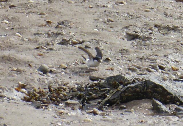
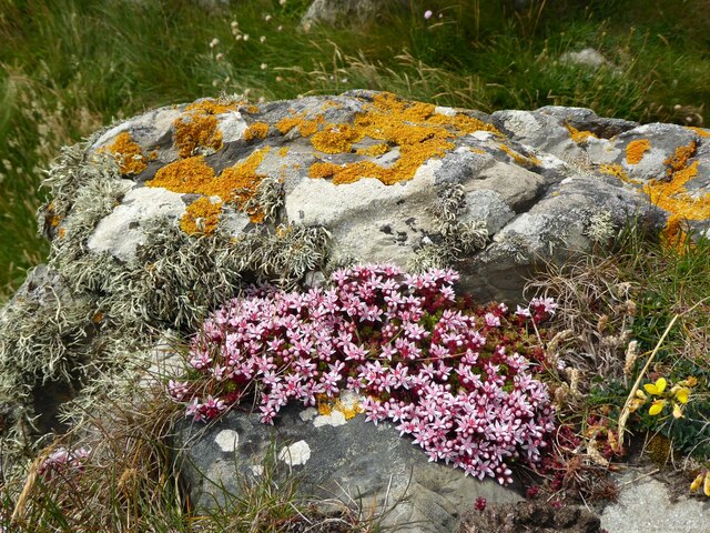
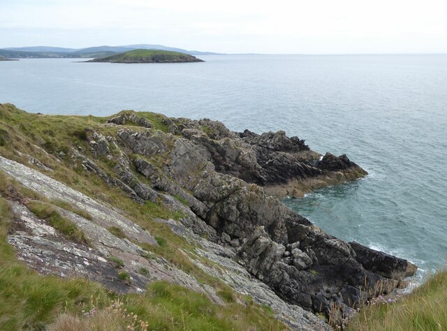
Images are sourced within 2km of 54.834845/-3.8441924 or Grid Reference NX8150. Thanks to Geograph Open Source API. All images are credited.

Path to Loch Mackie Rampant bracken has taken hold following the felling of adjacent forestry, but isolated rowans have good colour with abundant berries.
Path to Loch Mackie
Rampant bracken has taken hold following the felling of adjacent forestry, but isolated rowans have good colour with abundant berries.
Balcary Bay Hotel 'The Balcary Bay Country House Hotel which takes its name from the stunningly beautiful bay that overlooks the Solway with the Cumbrian mountains in the distance.  Each day brings a different colour spectrum to this wonderful vista.  Each night brings forth a romantic moon shimmering across the waters.' 
<span class="nowrap"><a title="https://www.balcary-bay-hotel.co.uk/" rel="nofollow ugc noopener" href="https://www.balcary-bay-hotel.co.uk/">Link</a><img style="margin-left:2px;" alt="External link" title="External link - shift click to open in new window" src="https://s1.geograph.org.uk/img/external.png" width="10" height="10"/></span>
Viewed from the top of Balcary Hill.
Balcary Bay Hotel
'The Balcary Bay Country House Hotel which takes its name from the stunningly beautiful bay that overlooks the Solway with the Cumbrian mountains in the distance. Each day brings a different colour spectrum to this wonderful vista. Each night brings forth a romantic moon shimmering across the waters.' LinkExternal link Viewed from the top of Balcary Hill.
Newly cut grass fields Some grass has been baled.
Airds Farm under Big Airds Hill in the background.
Newly cut grass fields
Some grass has been baled. Airds Farm under Big Airds Hill in the background.
No they are not sheep! The grass in the foreground has been cut and put into bales covered with white plastic. In the background, looking like a grass maze, the grass has been cut and the machine to gather it and blow it into trailers waits for a trailer.
No they are not sheep!
The grass in the foreground has been cut and put into bales covered with white plastic. In the background, looking like a grass maze, the grass has been cut and the machine to gather it and blow it into trailers waits for a trailer.
Rocks on the foreshore of Auchencairn Bay The various post on the beach are the remnants of salmon fishing nets.
How it might have looked. <a title="https://www.geograph.org.uk/photo/2242476" href="https://www.geograph.org.uk/photo/2242476">Link</a> and 
<a title="https://www.geograph.org.uk/photo/2242518" href="https://www.geograph.org.uk/photo/2242518">Link</a>
Hestan Island in the bay.
Rocks on the foreshore of Auchencairn Bay
The various post on the beach are the remnants of salmon fishing nets. How it might have looked. Link and Link Hestan Island in the bay.
Balcary Tower 'Balcary Tower was built around 1860 by Colonel Johnstone, the Laird of Auchencairn House, it is believed for his French governess and mistress. The Tower was extended in the 1960s and again in the 1970s and mostly recently was entirely professionally refurbished in 2012.'
<span class="nowrap"><a title="https://www.galbraithgroup.com/property/cad200033-balcary-tower-auchencairn-castle-douglas-dumfries-and-galloway-south-west-scotland-dg7-1qz" rel="nofollow ugc noopener" href="https://www.galbraithgroup.com/property/cad200033-balcary-tower-auchencairn-castle-douglas-dumfries-and-galloway-south-west-scotland-dg7-1qz">Link</a><img style="margin-left:2px;" alt="External link" title="External link - shift click to open in new window" src="https://s1.geograph.org.uk/img/external.png" width="10" height="10"/></span>
<span class="nowrap"><a title="https://canmore.org.uk/site/64862/the-tower?display=collection&GROUPCATEGORY=5" rel="nofollow ugc noopener" href="https://canmore.org.uk/site/64862/the-tower?display=collection&GROUPCATEGORY=5">Link</a><img style="margin-left:2px;" alt="External link" title="External link - shift click to open in new window" src="https://s1.geograph.org.uk/img/external.png" width="10" height="10"/></span>
Balcary Tower
'Balcary Tower was built around 1860 by Colonel Johnstone, the Laird of Auchencairn House, it is believed for his French governess and mistress. The Tower was extended in the 1960s and again in the 1970s and mostly recently was entirely professionally refurbished in 2012.' LinkExternal link LinkExternal link
View from the carpark Over the white plastic wrapped bales of grass.
View from the carpark
Over the white plastic wrapped bales of grass.
Agricultural traffic hazard This is one of the large tractors with a trailer load of freshly cut grass. They were moving in a convoy of four down to the fields to collect the loads and then back up the narrow road with few passing places.
Agricultural traffic hazard
This is one of the large tractors with a trailer load of freshly cut grass. They were moving in a convoy of four down to the fields to collect the loads and then back up the narrow road with few passing places.
Balcary Bay Hotel With its own beach on Balcary Bay.
<span class="nowrap"><a title="https://www.balcary-bay-hotel.co.uk/" rel="nofollow ugc noopener" href="https://www.balcary-bay-hotel.co.uk/">Link</a><img style="margin-left:2px;" alt="External link" title="External link - shift click to open in new window" src="https://s1.geograph.org.uk/img/external.png" width="10" height="10"/></span>
Balcary Bay Hotel
With its own beach on Balcary Bay. LinkExternal link
House Martin Collecting nesting materials from the beach in front of Balcary House Hotel.
House Martin
Collecting nesting materials from the beach in front of Balcary House Hotel.
On the rocks at Balcary Point English stonecrop, Sedum anglicum and yellow lichen Xanthoria parietina make a colourful addition to the rocks at the point.
On the rocks at Balcary Point
English stonecrop, Sedum anglicum and yellow lichen Xanthoria parietina make a colourful addition to the rocks at the point.
Balcary Point looking north east With Hestan Island at the mouth of Auchencairn Bay.
Balcary Point looking north east
With Hestan Island at the mouth of Auchencairn Bay.
The Boat House At Balcary Point.
The Boat House
At Balcary Point.
Airds Cottage Now a sad ruin next to the path that leads from Rascarrel Bay to Balcary.
Airds Cottage
Now a sad ruin next to the path that leads from Rascarrel Bay to Balcary.
Balcary Bay Hotel White painted country house hotel overlooking Auchencairn Bay.
Balcary Bay Hotel
White painted country house hotel overlooking Auchencairn Bay.
Balcary Point Looking east towards Hestan Island.
Balcary Point
Looking east towards Hestan Island.
Lot's Wife It would appear that this particular wife of Lot has been turned into a pillar of Silurian rock rather than salt.
Lot's Wife
It would appear that this particular wife of Lot has been turned into a pillar of Silurian rock rather than salt.
Coast path below Balcary Hill South west of Balcary Point, with the tip of Hestan Island in the distance.
Coast path below Balcary Hill
South west of Balcary Point, with the tip of Hestan Island in the distance.
Show me another place!

Auchencairn Wood is located at Grid Ref: NX8150 (Lat: 54.834845, Lng: -3.8441924)

Unitary Authority: Dumfries and Galloway

Police Authority: Dumfries and Galloway

What 3 Words

///allies.sides.event. Near Dalbeattie, Dumfries & Galloway

Nearby Locations

Auchencairn Wood Dam Wood

Related Wikis

Urr Water

Urr Water or River Urr (arc. River Orr) is a river in which flows through the counties of Dumfriesshire and Kirkcudbrightshire in southwest Scotland....

Auchencairn

Auchencairn ([ɔxən'kʰɛ:(r)n]) is a village in the historical county of Kirkcudbrightshire in the Dumfries and Galloway region of Scotland. It is located...
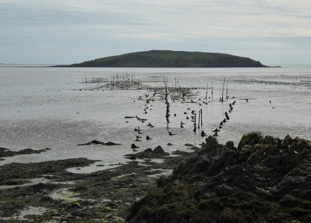
Hestan Island

Hestan Island is a small coastal island at the southern foot of the River Urr estuary in the Solway Firth, in the historical county of Kirkcudbrightshire...
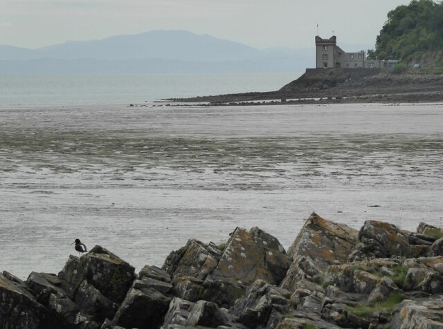
Orchardton Castle

Orchardton Castle overlooks the Solway Coast. Built in the 1880s, this is a Grade B listed property formerly known as Orchardton House. Built around a...

Nearby Amenities

Located within 500m of 54.834845,-3.8441924
Source: PGS
Lat/Long: 54.8316609/-3.8389389
Source: PGS
Lat/Long: 54.8319819/-3.8397254
Source: PGS
Lat/Long: 54.8328662/-3.8402548
Source: PGS
Lat/Long: 54.8334143/-3.840243
Source: PGS
Lat/Long: 54.833828/-3.8407693
Source: PGS
Lat/Long: 54.8341984/-3.8413132
Source: PGS
Lat/Long: 54.8344709/-3.8417392
Source: PGS
Lat/Long: 54.834762/-3.8420857
Source: PGS
Lat/Long: 54.8349315/-3.8424517
Source: PGS
Lat/Long: 54.8352714/-3.8429381
Source: PGS
Lat/Long: 54.8355201/-3.8433517
Source: PGS
Lat/Long: 54.8357256/-3.8437793
Source: PGS
Lat/Long: 54.8361312/-3.8448017
Source: PGS
Lat/Long: 54.836337/-3.8454631
Source: PGS
Lat/Long: 54.8366055/-3.8459583
Source: PGS
Lat/Long: 54.8366818/-3.8463166
Source: PGS
Lat/Long: 54.8367588/-3.8466775
Source: PGS
Lat/Long: 54.8371829/-3.8472549
Source: PGS
Lat/Long: 54.8374677/-3.8482355
Source: PGS
Lat/Long: 54.8376312/-3.8486877
Source: PGS
Lat/Long: 54.8376985/-3.8490648
Source: PGS
Lat/Long: 54.8377528/-3.8494069
Source: PGS
Lat/Long: 54.8378098/-3.8497114
Source: PGS
Lat/Long: 54.8379151/-3.8498336
Power: pole
Lat/Long: 54.8352807/-3.8505606
Power: pole
Lat/Long: 54.8341256/-3.8487909
Power: pole
Lat/Long: 54.8330415/-3.8471105
Power: pole
Lat/Long: 54.8319427/-3.8454343
Power: pole
Lat/Long: 54.8308818/-3.843807
Power: pole
Lat/Long: 54.8312538/-3.8431888
Power: pole
Lat/Long: 54.8315781/-3.8427384
Power: pole
Lat/Long: 54.8357052/-3.8504778
Power: pole
Lat/Long: 54.8361322/-3.8504034
Power: pole
Lat/Long: 54.8366094/-3.8503333
Power: pole
Lat/Long: 54.837045/-3.8502802
Power: pole
Lat/Long: 54.8375123/-3.8501995
Power: pole
Lat/Long: 54.8349026/-3.8520031
Power: pole
Lat/Long: 54.8351033/-3.8512574
Power: pole
Lat/Long: 54.8354324/-3.8499806
Power: pole
Lat/Long: 54.8357713/-3.8494814
Power: pole
Lat/Long: 54.8361127/-3.8489779
Power: pole
Lat/Long: 54.8364748/-3.8484022
Power: pole
Lat/Long: 54.8367868/-3.847939
Power: pole
Lat/Long: 54.8359389/-3.8482407
Power: pole
Lat/Long: 54.8357835/-3.8475715
Power: pole
Lat/Long: 54.8356135/-3.8468428
Power: pole
Lat/Long: 54.8354544/-3.8461333
Power: pole
Lat/Long: 54.8352843/-3.8453854
Power: pole
Lat/Long: 54.835151/-3.8447757
The data included in this document is from www.openstreetmap.org. The data is made available under ODbL.

Have you been to Auchencairn Wood?

Leave your review of Auchencairn Wood below (or comments, questions and feedback).