Merklandhill Plantation
Wood, Forest in Dumfriesshire
Scotland
Merklandhill Plantation
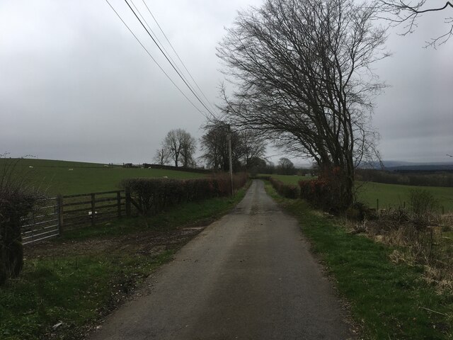
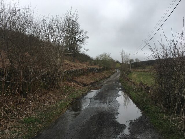
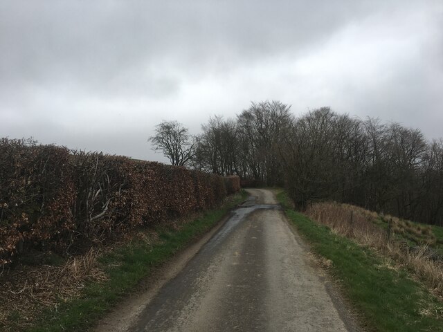
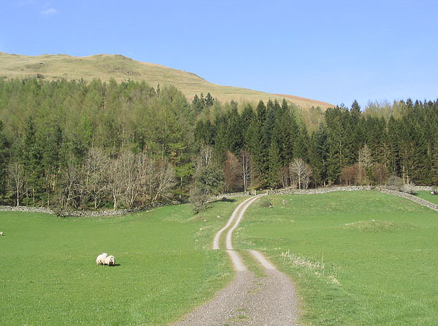
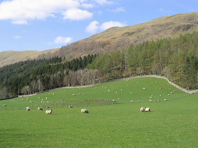
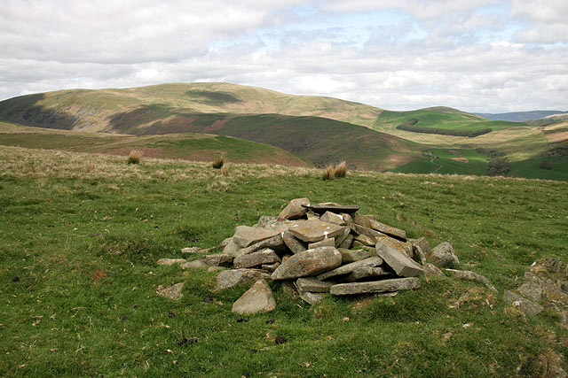
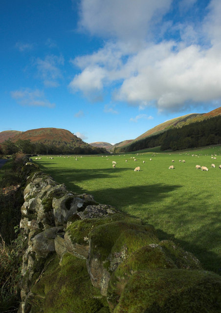
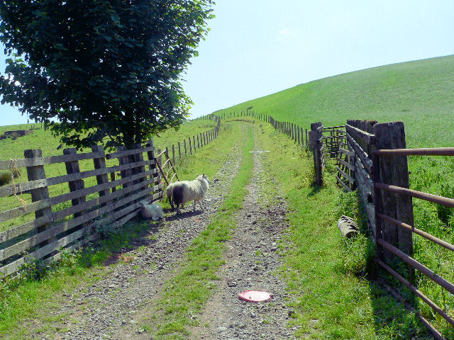
Merklandhill Plantation is a sprawling woodland area located in Dumfriesshire, Scotland. Covering an extensive area of approximately 500 acres, it is one of the largest plantations in the region. The plantation is situated on the slopes of Merkland Hill, offering breathtaking views of the surrounding countryside.
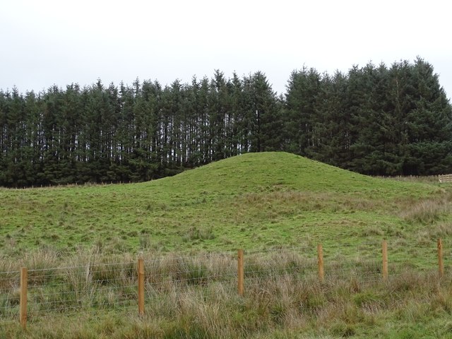
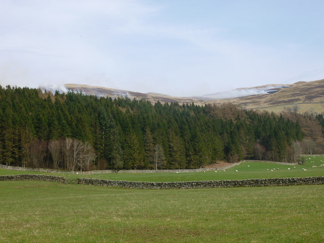
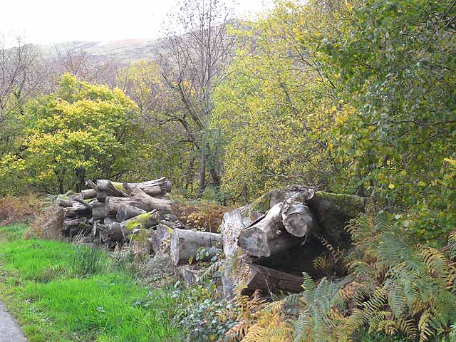
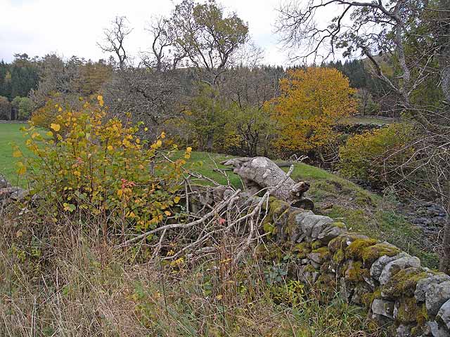
The woodland is primarily composed of diverse tree species, including oak, birch, beech, and pine. These trees create a rich and vibrant ecosystem, providing habitat for numerous wildlife species. The plantation serves as an important conservation area, supporting a wide range of flora and fauna.
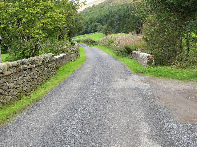
Visitors to Merklandhill Plantation can explore its many walking trails and enjoy the tranquility and beauty of nature. The well-maintained paths wind through the woodland, offering opportunities for leisurely strolls or more challenging hikes. Along the way, visitors may encounter various bird species, such as woodpeckers, owls, and finches, as well as small mammals like red squirrels and rabbits.
The plantation also offers recreational activities such as mountain biking and horse riding, catering to outdoor enthusiasts of all ages. Additionally, educational programs and guided tours are available, allowing visitors to learn about the plantation's history, ecology, and conservation efforts.
Merklandhill Plantation is a cherished natural treasure in Dumfriesshire, providing a serene escape from the hustle and bustle of everyday life. Its picturesque landscapes and diverse wildlife make it a must-visit destination for nature lovers and anyone seeking a peaceful retreat in the heart of Scotland.
If you have any feedback on the listing, please let us know in the comments section below.
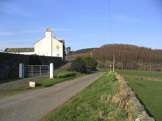
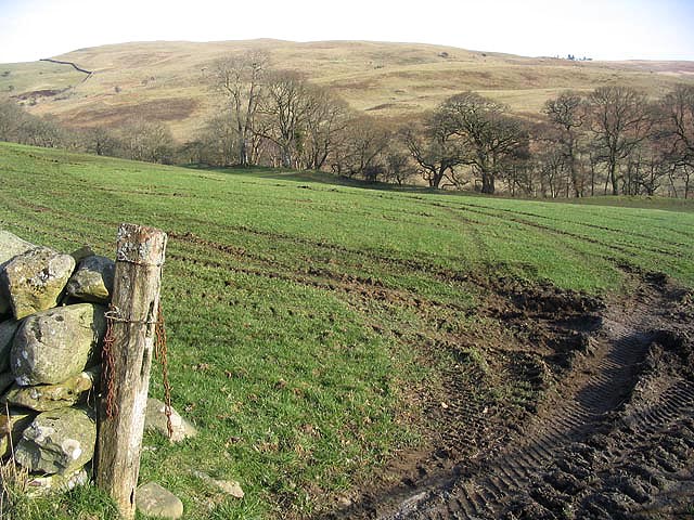
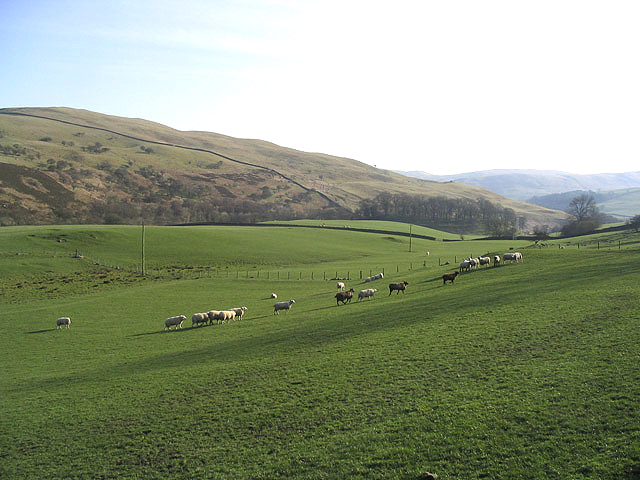
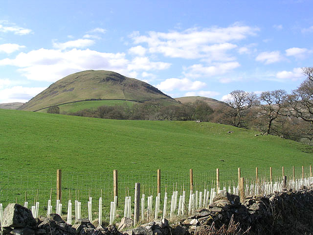
Merklandhill Plantation Images
Images are sourced within 2km of 55.275026/-3.8742112 or Grid Reference NX8199. Thanks to Geograph Open Source API. All images are credited.
Merklandhill Plantation is located at Grid Ref: NX8199 (Lat: 55.275026, Lng: -3.8742112)
Unitary Authority: Dumfries and Galloway
Police Authority: Dumfries and Galloway
What 3 Words
///internet.marker.cosmic. Near Thornhill, Dumfries & Galloway
Nearby Locations
Related Wikis

Drumlanrig Castle
Drumlanrig Castle is situated on the Queensberry Estate in Dumfries and Galloway, Scotland. The category A listed castle is the Dumfriesshire home of the...

Drumlanrig
Drumlanrig (Scottish Gaelic: Druim Lannraig) is a settlement in Dumfries and Galloway, Scotland, which is best known for nearby Drumlanrig Castle. The...
Grennan Hill
Grennan Hill is the site of an Iron Age hill fort outside Penpont in Dumfries and Galloway, Scotland. == References == Schedule "Grennan Hill, NMRS Number...

Tibbers Castle
Tibbers Castle is a motte-and-bailey castle overlooking a ford across the River Nith in Dumfries and Galloway, Scotland. To the east is the village of...
Tynron Doon
Tynron Doon is a multivallate Iron Age hill fort outside the village of Tynron in Dumfries and Galloway, Scotland. It was occupied on and off from the...

Carron Water, Dumfriesshire
The Carron Water (Scottish Gaelic: Carrann) is a tributary of the River Nith in southwest Scotland. It rises in the Dalveen Pass in the Lowther Hills as...

Penpont
Penpont is a village about 2 miles (3 km) west of Thornhill in Dumfriesshire, in the Dumfries and Galloway region of Scotland. It is near the confluence...

Carronbridge
Carronbridge is a village in the parish of Morton in Dumfries and Galloway, Scotland. The village is at the junction of the A76 and A702 roads approximately...
Nearby Amenities
Located within 500m of 55.275026,-3.8742112Have you been to Merklandhill Plantation?
Leave your review of Merklandhill Plantation below (or comments, questions and feedback).