Auchengassel Plantation
Wood, Forest in Dumfriesshire
Scotland
Auchengassel Plantation
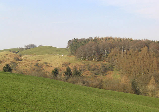
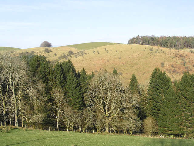
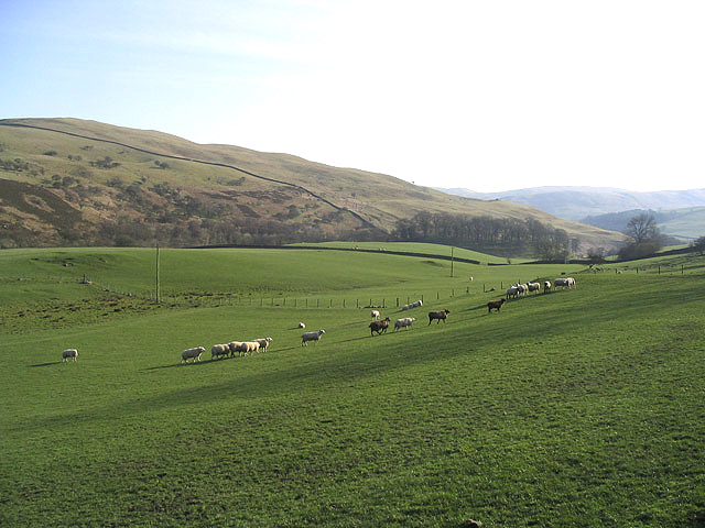
Auchengassel Plantation is a vast woodland area located in Dumfriesshire, Scotland. Spanning over several hectares, this plantation is known for its dense and diverse forest cover, making it a significant natural landmark in the region. The plantation is situated near the village of Auchengassel, which is why it bears its name.
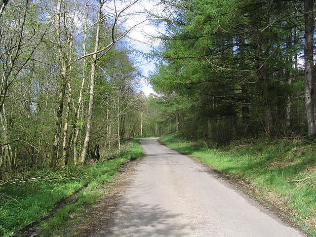
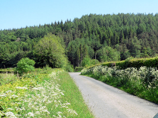
The woodland is composed of a variety of tree species, creating a rich and vibrant ecosystem. Coniferous trees, such as Scots pine and spruce, dominate the landscape, providing a dense canopy that offers shelter and protection to a wide range of flora and fauna. The plantation is also home to deciduous trees like oak, birch, and beech, adding to the overall diversity of the woodland.
Auchengassel Plantation is not only a haven for wildlife but also a popular destination for outdoor enthusiasts. The woodland features numerous walking and hiking trails, allowing visitors to explore its beauty while taking in the fresh air and serene surroundings. The plantation is well-maintained, with clear paths and signage to guide visitors through its various sections.
The plantation also serves as an important timber resource, with sustainable forestry practices implemented to ensure the long-term health and productivity of the woodland. Harvesting of trees takes place in designated areas, allowing for the regeneration of new growth and maintaining a healthy balance within the ecosystem.
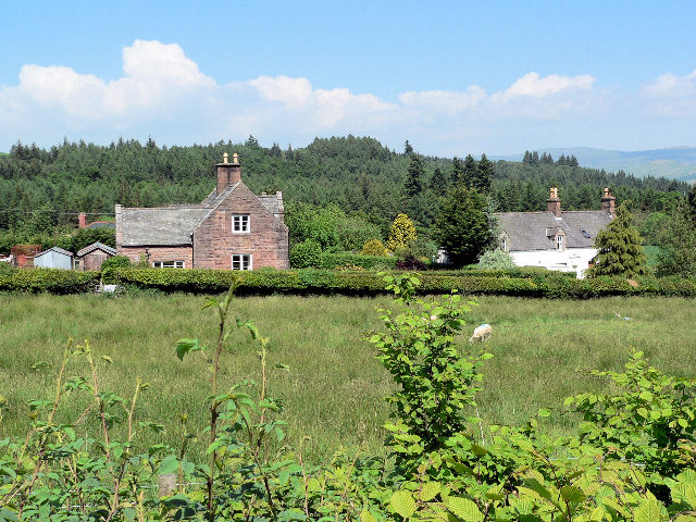
Overall, Auchengassel Plantation is a natural treasure in Dumfriesshire, offering both recreational opportunities and ecological value. Its vast expanse of woodland and diverse range of tree species make it a must-visit destination for nature lovers and those seeking a tranquil escape.
If you have any feedback on the listing, please let us know in the comments section below.
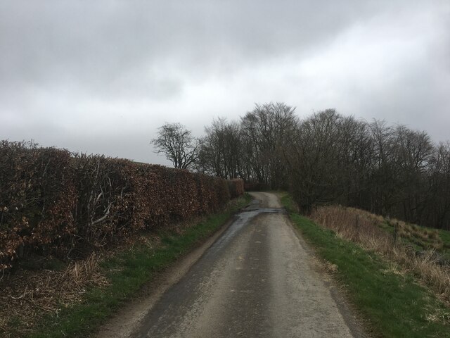
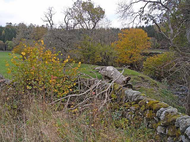
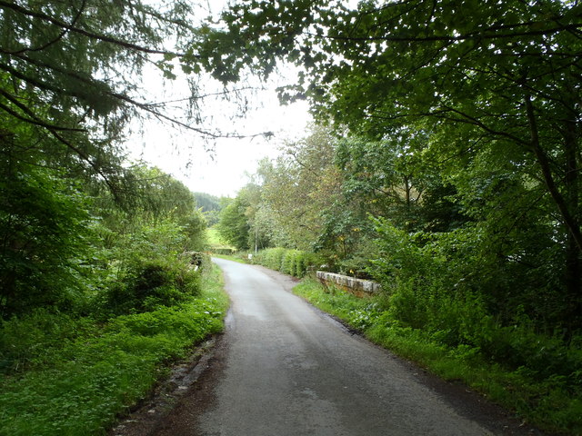
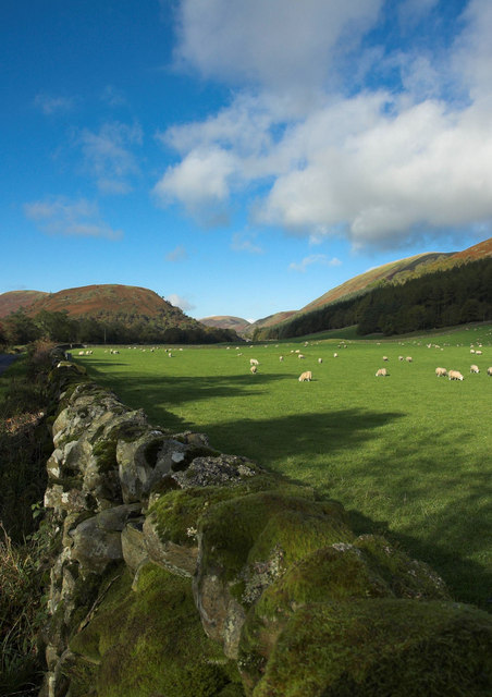
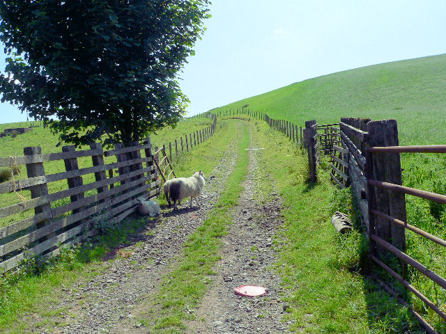
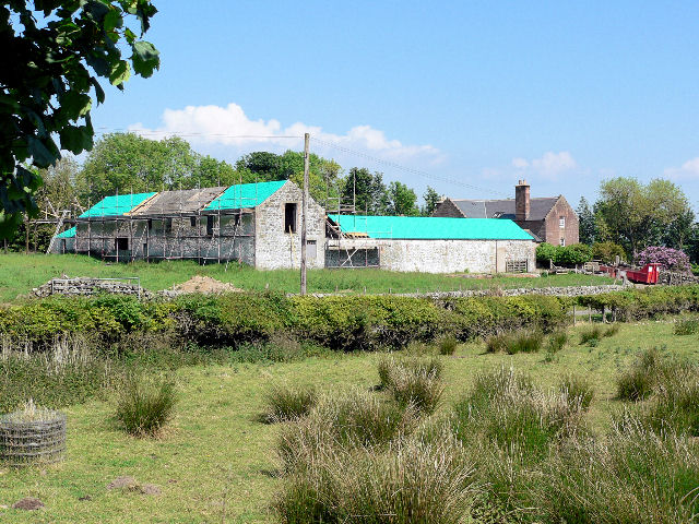
Auchengassel Plantation Images
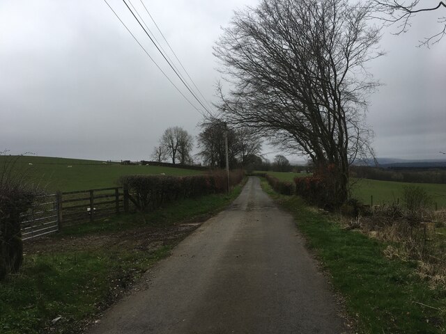
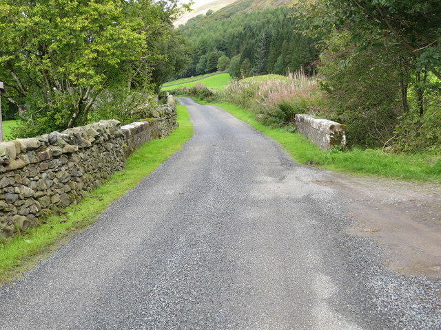
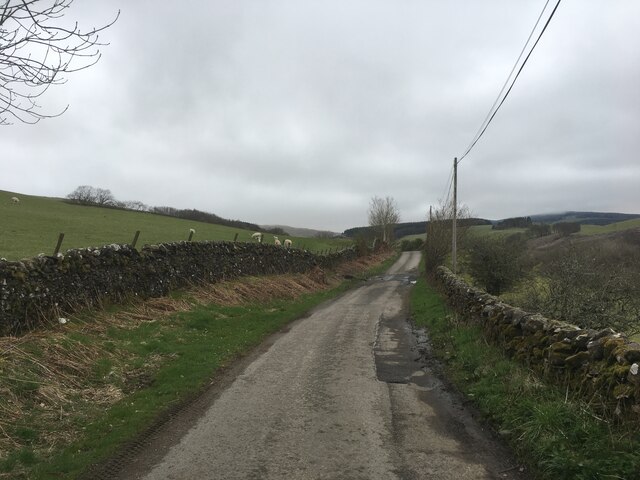
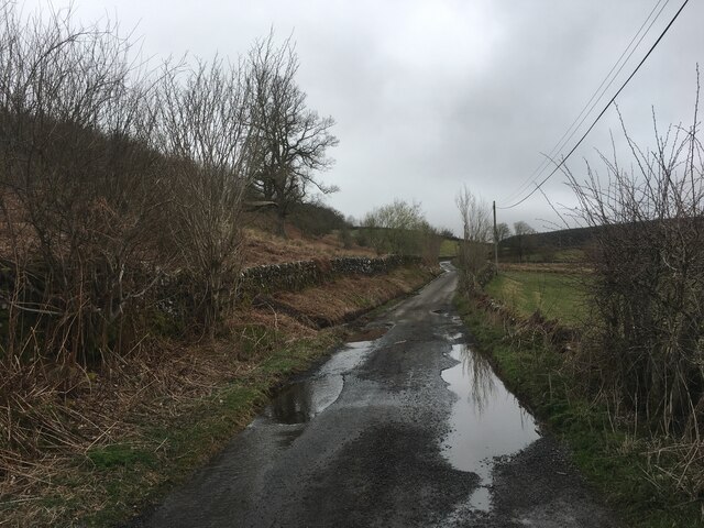
Images are sourced within 2km of 55.272755/-3.8616994 or Grid Reference NX8199. Thanks to Geograph Open Source API. All images are credited.
Auchengassel Plantation is located at Grid Ref: NX8199 (Lat: 55.272755, Lng: -3.8616994)
Unitary Authority: Dumfries and Galloway
Police Authority: Dumfries and Galloway
What 3 Words
///woodstove.retailing.unable. Near Thornhill, Dumfries & Galloway
Nearby Locations
Related Wikis

Drumlanrig Castle
Drumlanrig Castle is situated on the Queensberry Estate in Dumfries and Galloway, Scotland. The category A listed castle is the Dumfriesshire home of the...

Drumlanrig
Drumlanrig (Scottish Gaelic: Druim Lannraig) is a settlement in Dumfries and Galloway, Scotland, which is best known for nearby Drumlanrig Castle. The...

Grennan Hill
Grennan Hill is the site of an Iron Age hill fort outside Penpont in Dumfries and Galloway, Scotland. == References == Schedule "Grennan Hill, NMRS Number...

Tibbers Castle
Tibbers Castle is a motte-and-bailey castle overlooking a ford across the River Nith in Dumfries and Galloway, Scotland. To the east is the village of...
Nearby Amenities
Located within 500m of 55.272755,-3.8616994Have you been to Auchengassel Plantation?
Leave your review of Auchengassel Plantation below (or comments, questions and feedback).