Windyedge Brae
Downs, Moorland in Dumfriesshire
Scotland
Windyedge Brae
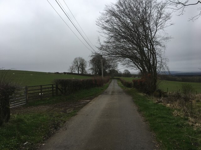
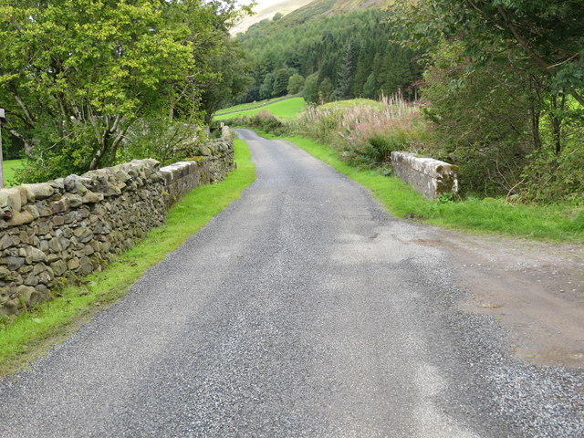
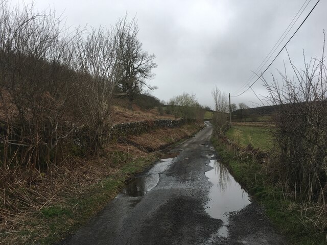
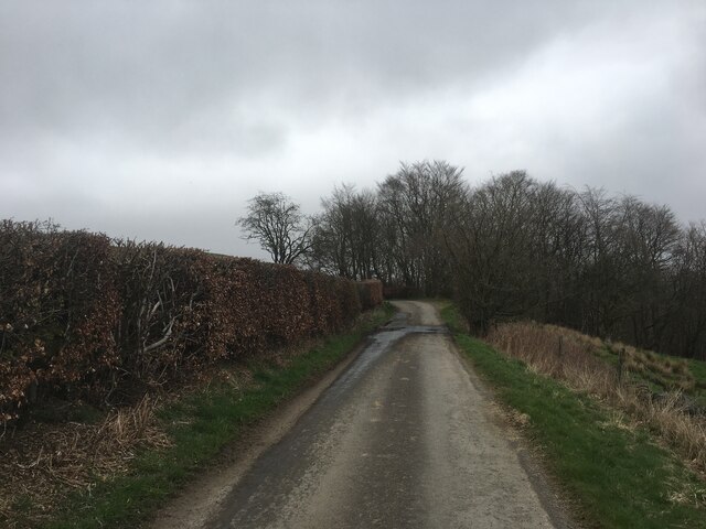
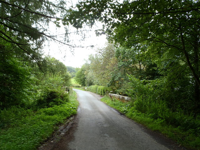
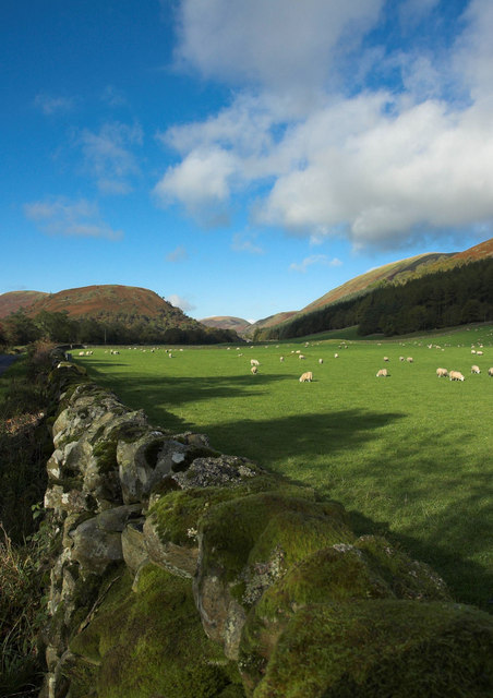
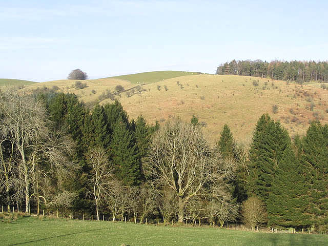
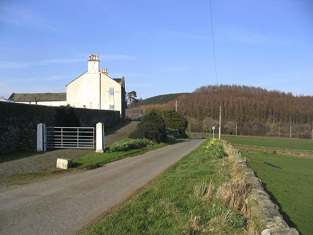
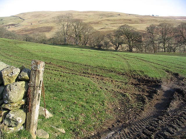
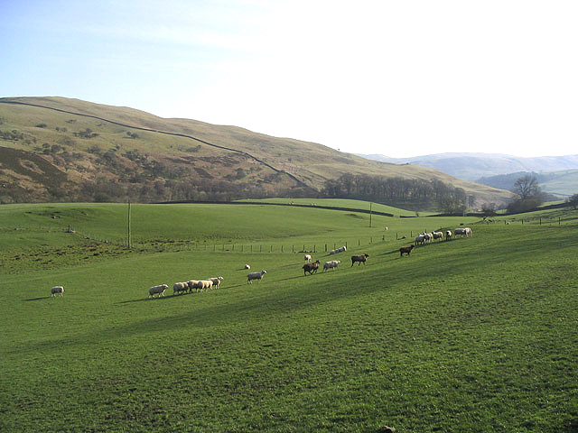
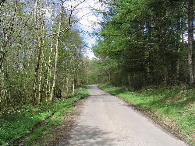
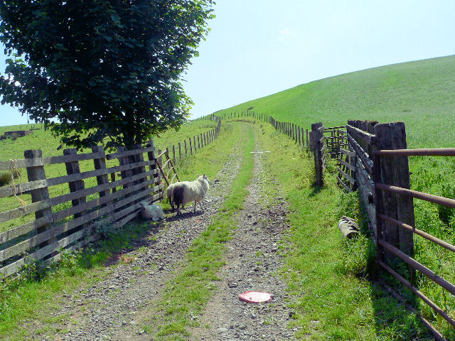
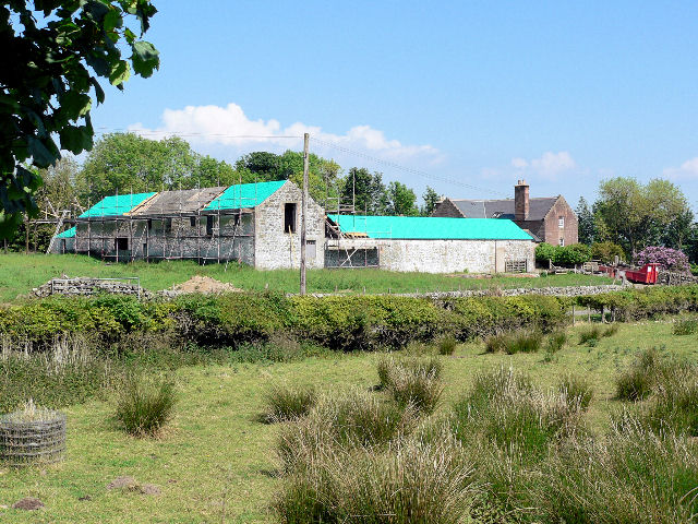
Windyedge Brae is a picturesque area located in Dumfriesshire, Scotland. Situated amidst the stunning Downs and Moorland, this region offers breathtaking views and a tranquil atmosphere. The area is known for its rugged landscapes, rolling hills, and vast open spaces that make it a perfect destination for outdoor enthusiasts and nature lovers.
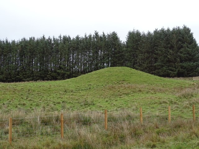
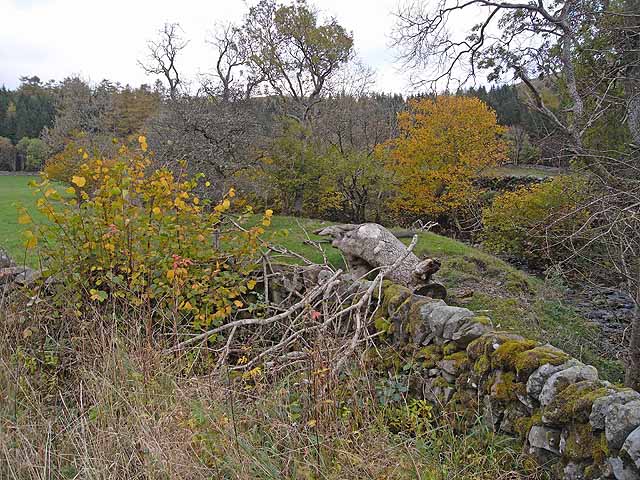
Windyedge Brae is characterized by its diverse ecosystem, which includes heather-covered moorlands, scattered woodlands, and meandering streams. The unique combination of these features creates a haven for a wide range of flora and fauna, making it an ideal spot for birdwatching and wildlife spotting.
The area is also home to numerous walking and hiking trails, allowing visitors to explore the beauty of Windyedge Brae at their own pace. Whether it's a leisurely stroll or a more challenging hike, the paths provide an opportunity to immerse oneself in the peaceful surroundings and experience the serenity of nature.
In addition to its natural charm, Windyedge Brae boasts a rich history. The region is dotted with ancient ruins, including stone circles and burial sites, which offer a glimpse into its past. These historic landmarks add a touch of intrigue and provide a fascinating insight into the area's cultural heritage.
Overall, Windyedge Brae in Dumfriesshire stands as a haven of tranquility and natural beauty. With its stunning landscapes, diverse wildlife, and rich history, this area offers a truly immersive experience for all who visit.
If you have any feedback on the listing, please let us know in the comments section below.
Windyedge Brae Images
Images are sourced within 2km of 55.277342/-3.8637877 or Grid Reference NX8199. Thanks to Geograph Open Source API. All images are credited.


Windyedge Brae is located at Grid Ref: NX8199 (Lat: 55.277342, Lng: -3.8637877)
Unitary Authority: Dumfries and Galloway
Police Authority: Dumfries and Galloway
What 3 Words
///whiplash.transfers.allergy. Near Thornhill, Dumfries & Galloway
Nearby Locations
Related Wikis

Drumlanrig Castle
Drumlanrig Castle is situated on the Queensberry Estate in Dumfries and Galloway, Scotland. The category A listed castle is the Dumfriesshire home of the...

Drumlanrig
Drumlanrig (Scottish Gaelic: Druim Lannraig) is a settlement in Dumfries and Galloway, Scotland, which is best known for nearby Drumlanrig Castle. The...
Grennan Hill
Grennan Hill is the site of an Iron Age hill fort outside Penpont in Dumfries and Galloway, Scotland. == References == Schedule "Grennan Hill, NMRS Number...

Tibbers Castle
Tibbers Castle is a motte-and-bailey castle overlooking a ford across the River Nith in Dumfries and Galloway, Scotland. To the east is the village of...

Carron Water, Dumfriesshire
The Carron Water (Scottish Gaelic: Carrann) is a tributary of the River Nith in southwest Scotland. It rises in the Dalveen Pass in the Lowther Hills as...

Carronbridge
Carronbridge is a village in the parish of Morton in Dumfries and Galloway, Scotland. The village is at the junction of the A76 and A702 roads approximately...
Tynron Doon
Tynron Doon is a multivallate Iron Age hill fort outside the village of Tynron in Dumfries and Galloway, Scotland. It was occupied on and off from the...

Penpont
Penpont is a village about 2 miles (3 km) west of Thornhill in Dumfriesshire, in the Dumfries and Galloway region of Scotland. It is near the confluence...
Nearby Amenities
Located within 500m of 55.277342,-3.8637877Have you been to Windyedge Brae?
Leave your review of Windyedge Brae below (or comments, questions and feedback).