Mòine Toll nam Broc
Downs, Moorland in Perthshire
Scotland
Mòine Toll nam Broc
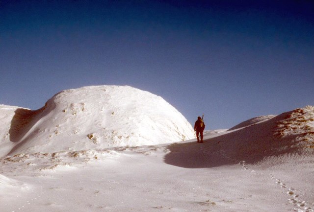
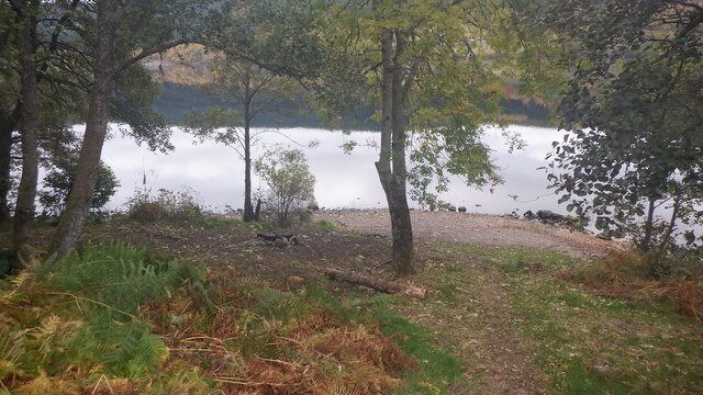
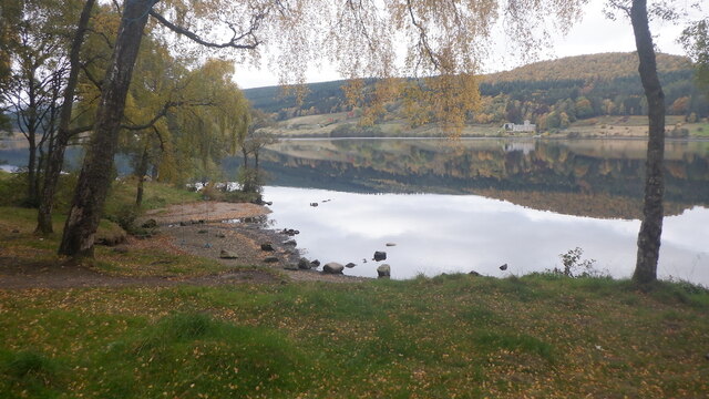
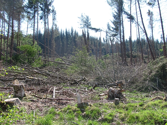
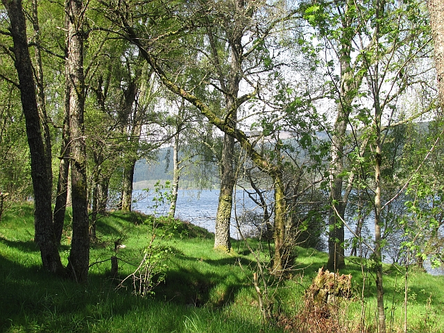
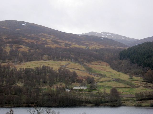
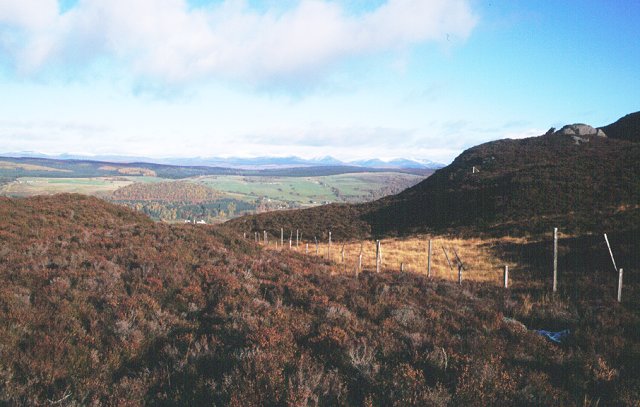
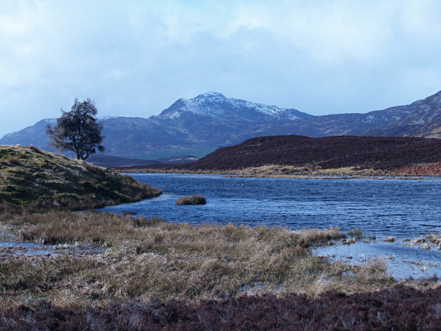
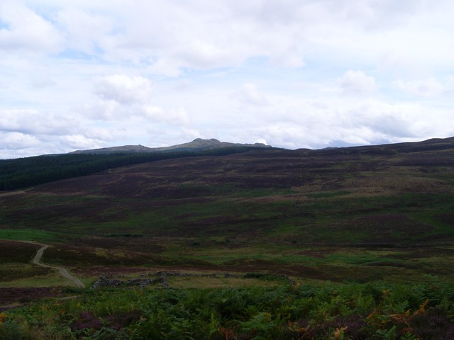
Mòine Toll nam Broc, also known as the Downs, Moorland, is a picturesque area located in Perthshire, Scotland. Spanning over vast hectares of land, this region showcases a unique landscape characterized by its rolling hills, expansive moors, and diverse wildlife.
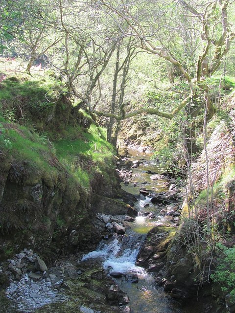
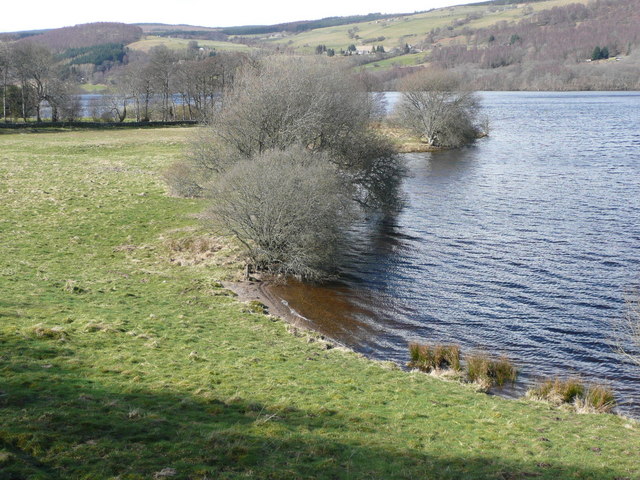
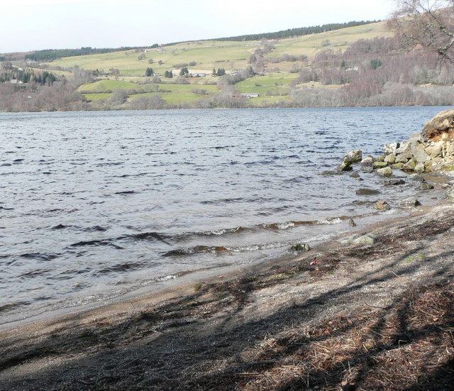
The land is predominantly covered in heather, creating a vibrant purple blanket that stretches as far as the eye can see. The moorland is interspersed with patches of peat bog, which adds to the distinctiveness of the area. These bogs act as natural filters, purifying the water that flows through them and providing a habitat for various plant species.
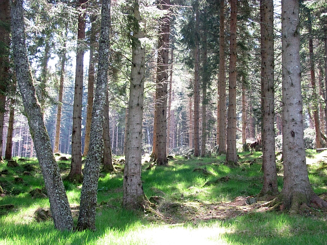
Mòine Toll nam Broc is not only visually appealing, but it is also home to a wide range of flora and fauna. Visitors may spot rare bird species such as the golden plover and the curlew, which thrive in this habitat. Other wildlife that can be observed include red deer, rabbits, and the occasional sighting of the elusive Scottish wildcat.
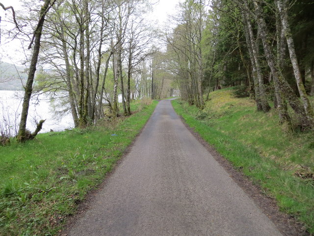
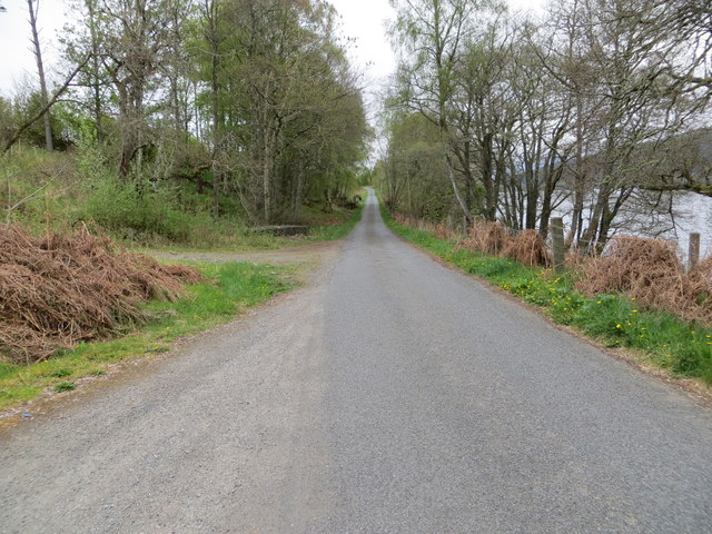
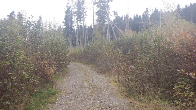
The area offers numerous walking trails and paths, making it a popular destination for hikers and nature enthusiasts. The Downs, Moorland also provides a serene and tranquil environment, inviting visitors to immerse themselves in the beauty of nature.
Overall, Mòine Toll nam Broc, Perthshire (Downs, Moorland) offers a captivating landscape, teeming with biodiversity. Whether it's the vibrant heather-covered moors, the diverse wildlife, or the peaceful ambiance, this region provides a truly remarkable experience for those seeking a connection with nature.
If you have any feedback on the listing, please let us know in the comments section below.
Mòine Toll nam Broc Images
Images are sourced within 2km of 56.692121/-3.9332537 or Grid Reference NN8157. Thanks to Geograph Open Source API. All images are credited.
Mòine Toll nam Broc is located at Grid Ref: NN8157 (Lat: 56.692121, Lng: -3.9332537)
Unitary Authority: Perth and Kinross
Police Authority: Tayside
What 3 Words
///visits.widest.strutting. Near Aberfeldy, Perth & Kinross
Nearby Locations
Related Wikis

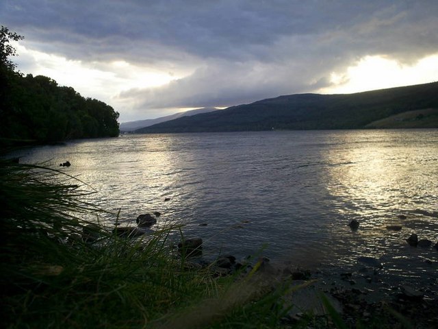
Loch Tummel
Loch Tummel (Scottish Gaelic: Loch Teimheil) is a long, narrow loch, seven kilometres (4+1⁄2 miles) northwest of Pitlochry in the council area of Perth...

Tummel hydro-electric power scheme
The Tummel hydro-electric power scheme is an interconnected network of dams, power stations, aqueducts and electric power transmission in the Grampian...
Farragon Hill
Farragon Hill (782 m) is a peak in the foothills of the Grampian Mountains of Scotland. It lies above the town of Aberfeldy in Perthshire. The hill is...
Meall Tàirneachan
Meall Tairneachan (787 m) is a mountain in the Grampian Mountains of Scotland, located northwest of Aberfeldy in Perthshire. The peak lies in an area of...

Loch Bhac
Loch Bhac (Bhaic or Vach) is a fine freshwater trout loch, located in the west part of the Allean Forest, and east part of Tay Forest park, and slightly...

Loch Derculich
Loch Derculich is a freshwater loch in central highlands of Scotland, in Perth and Kinross. Loch Tummel is located three miles to the north. == Habitation... ==

Tummel Bridge
Tummel Bridge is a double arched hump-backed former military bridge crossing the River Tummel at Tummel Bridge, Perth & Kinross, Scotland. A Category A...

Balavoulin
Balavoulin, also known as Milton Lodge, is a Category B listed building in Blair Atholl, Perth and Kinross, Scotland.The building is two storeys with an...
Nearby Amenities
Located within 500m of 56.692121,-3.9332537Have you been to Mòine Toll nam Broc?
Leave your review of Mòine Toll nam Broc below (or comments, questions and feedback).