Denbury Down
Downs, Moorland in Devon Teignbridge
England
Denbury Down

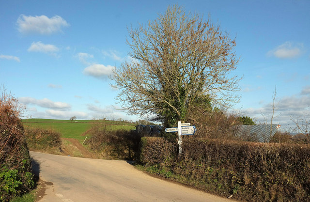
Denbury Down, located in Devon, England, is a picturesque area encompassing vast stretches of downs and moorland. Situated near the village of Denbury, this natural landscape attracts visitors from far and wide due to its scenic beauty and tranquility.
The downs of Denbury Down are characterized by rolling hills covered in lush green grass, creating a panoramic view that stretches as far as the eye can see. These hills provide a perfect setting for outdoor activities such as walking, hiking, and picnicking. The area is home to a diverse range of flora and fauna, with wildflowers dotting the landscape during the spring and summer months.
Adjacent to the downs, the moorland of Denbury Down is a captivating sight. Covered in heather, gorse, and bracken, it presents a rugged and untamed beauty. This moorland is a haven for various bird species, including the elusive Dartford warbler and the majestic buzzard. Walking trails crisscross the moorland, allowing visitors to explore and immerse themselves in its wild charm.
The peacefulness of Denbury Down is further enhanced by the absence of any major human development. This ensures that the area retains its natural splendor and provides a tranquil retreat for those seeking solace in nature.
With its stunning downs, captivating moorland, and serene ambiance, Denbury Down is a truly remarkable destination for nature enthusiasts and those looking to escape the hustle and bustle of everyday life.
If you have any feedback on the listing, please let us know in the comments section below.
Denbury Down Images
Images are sourced within 2km of 50.503453/-3.6698791 or Grid Reference SX8168. Thanks to Geograph Open Source API. All images are credited.


Denbury Down is located at Grid Ref: SX8168 (Lat: 50.503453, Lng: -3.6698791)
Administrative County: Devon
District: Teignbridge
Police Authority: Devon and Cornwall
What 3 Words
///reinvest.zealous.classic. Near Ipplepen, Devon
Nearby Locations
Related Wikis

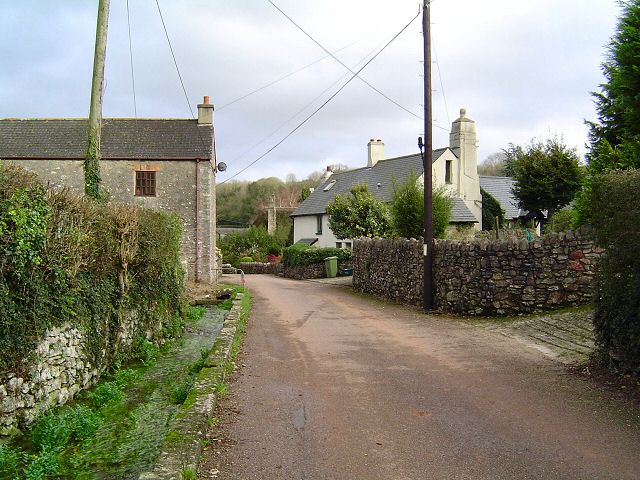
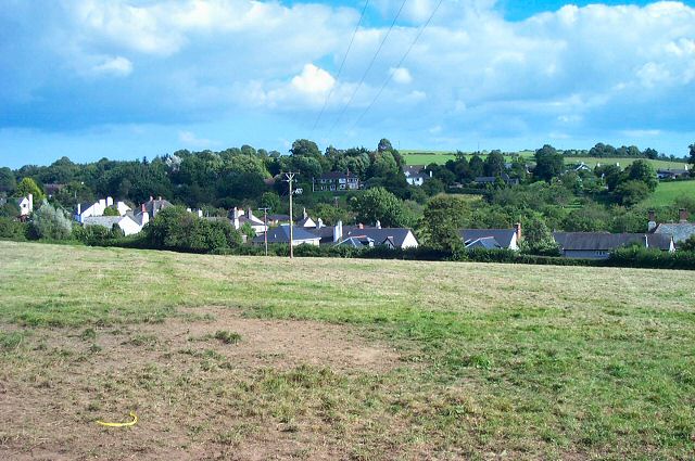
Denbury
Denbury is a village and former civil parish, now in the parish of Denbury and Torbryan, in Teignbridge district of Devon, England. The village is situated...

Denbury Hill
Denbury Hill (also known as Denbury Camp and Denbury Down) is the name of an Iron Age hill fort near the village of Denbury in Devon, England. The fort...

HM Prison Channings Wood
HM Prison Channings Wood is a Category C men's prison, located in the parish of Ogwell (near Newton Abbot) in Devon, England. The prison is operated by...

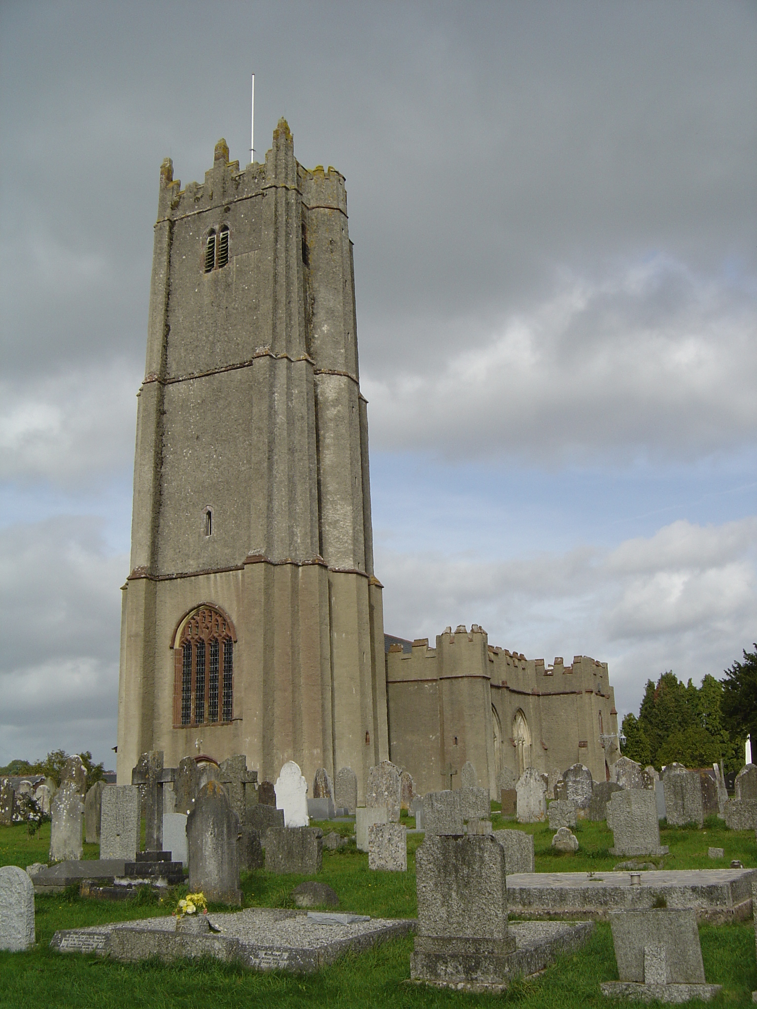
Holy Trinity Church, Torbryan
Holy Trinity Church in Torbryan, near Ipplepen in Devon, England, was built in the 15th century. It is recorded in the National Heritage List for England...
Torbryan
Torbryan is a village and former civil parish, now in the parish of Denbury and Torbryan, in the Teignbridge district, in the county of Devon, England...

West Ogwell Church
West Ogwell Church in Ogwell, Devon, England was built in the 13th century. It is recorded in the National Heritage List for England as a designated Grade...
Broadhempston
Broadhempston (alias Broad Hempston, anciently Great Hempston, Hempston Cauntelow) is a village, parish and former manor in Devon, England, situated about...
Ipplepen
Ipplepen is a village and civil parish located within the Teignbridge district of the county of Devon in south-west England. A priory was located there...
Nearby Amenities
Located within 500m of 50.503453,-3.6698791Have you been to Denbury Down?
Leave your review of Denbury Down below (or comments, questions and feedback).