Denbury Down Plantation
Wood, Forest in Devon Teignbridge
England
Denbury Down Plantation

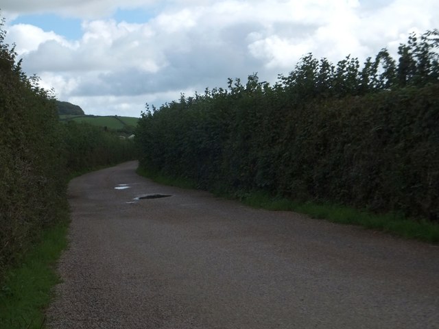
Denbury Down Plantation is a picturesque woodland located in the county of Devon, England. Situated near the village of Denbury, this enchanting forest covers an area of approximately 100 acres and is a popular destination for nature enthusiasts and hikers alike.
The plantation is predominantly composed of broadleaf trees, including oak, beech, and ash, which create a lush and vibrant canopy overhead. The forest floor is carpeted with ferns, bluebells, and other wildflowers, adding to the natural beauty of the area. Numerous walking trails wind through the woodland, allowing visitors to explore its hidden treasures and take in the breathtaking views.
Denbury Down Plantation is not only known for its natural wonders but also for its rich historical significance. The site has been a working woodland for centuries, with evidence of charcoal production and timber harvesting dating back to medieval times. It is also believed that the plantation was once used for hunting by the nobility.
Today, the woodland is carefully managed to maintain its ecological balance and preserve its unique biodiversity. Local conservation efforts have been put in place to protect the native flora and fauna, including rare species such as the lesser horseshoe bat and dormouse.
Visitors to Denbury Down Plantation can expect a tranquil and rejuvenating experience surrounded by the beauty of nature. Whether it is a leisurely stroll, birdwatching, or simply enjoying a picnic amidst the trees, this woodland sanctuary offers a perfect escape from the hustle and bustle of city life.
If you have any feedback on the listing, please let us know in the comments section below.
Denbury Down Plantation Images
Images are sourced within 2km of 50.504831/-3.6716341 or Grid Reference SX8168. Thanks to Geograph Open Source API. All images are credited.


Denbury Down Plantation is located at Grid Ref: SX8168 (Lat: 50.504831, Lng: -3.6716341)
Administrative County: Devon
District: Teignbridge
Police Authority: Devon and Cornwall
What 3 Words
///coughed.defected.traffic. Near Ipplepen, Devon
Nearby Locations
Related Wikis

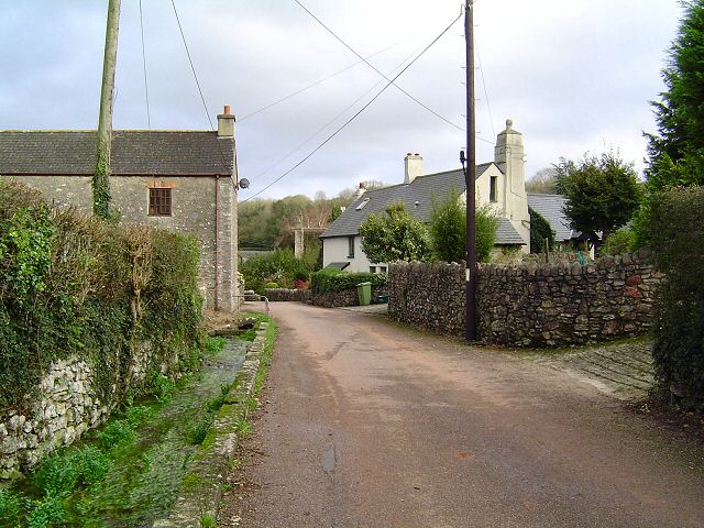
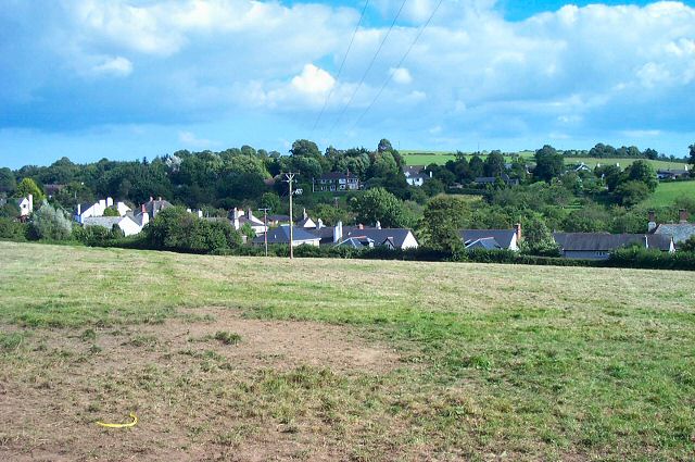
Denbury
Denbury is a village and former civil parish, now in the parish of Denbury and Torbryan, in Teignbridge district of Devon, England. The village is situated...

HM Prison Channings Wood
HM Prison Channings Wood is a Category C men's prison, located in the parish of Ogwell (near Newton Abbot) in Devon, England. The prison is operated by...

West Ogwell Church
West Ogwell Church in Ogwell, Devon, England was built in the 13th century. It is recorded in the National Heritage List for England as a designated Grade...

Denbury Hill
Denbury Hill (also known as Denbury Camp and Denbury Down) is the name of an Iron Age hill fort near the village of Denbury in Devon, England. The fort...

Holy Trinity Church, Torbryan
Holy Trinity Church in Torbryan, near Ipplepen in Devon, England, was built in the 15th century. It is recorded in the National Heritage List for England...
Torbryan
Torbryan is a village and former civil parish, now in the parish of Denbury and Torbryan, in the Teignbridge district, in the county of Devon, England...
Broadhempston
Broadhempston (alias Broad Hempston, anciently Great Hempston, Hempston Cauntelow) is a village, parish and former manor in Devon, England, situated about...
Ipplepen
Ipplepen is a village and civil parish located within the Teignbridge district of the county of Devon in south-west England. A priory was located there...
Nearby Amenities
Located within 500m of 50.504831,-3.6716341Have you been to Denbury Down Plantation?
Leave your review of Denbury Down Plantation below (or comments, questions and feedback).