Sawmill Wood

Wood, Forest in Dumfriesshire

Scotland

Sawmill Wood

Benchmark at Ryehill Benchmark on the corner of a building at Ryehill.
Benchmark at Ryehill Credit: Rab McMurdo

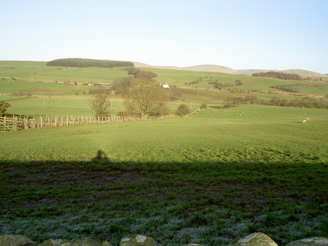
Sawmill Wood is a picturesque forest located in Dumfriesshire, Scotland. Covering an area of approximately 50 acres, this woodland is a haven for nature enthusiasts and outdoor adventurers alike.

The wood is predominantly made up of native species such as oak, birch, and beech trees, creating a diverse and vibrant ecosystem. These towering trees provide a dense canopy, allowing for a cool and shaded atmosphere even on hot summer days. The forest floor is covered with a lush carpet of ferns, moss, and wildflowers, adding to the enchanting beauty of the woodland.

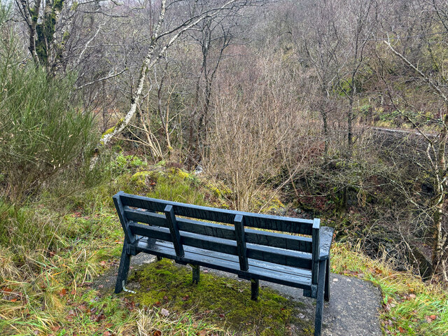
The wood is crisscrossed with several well-maintained walking trails, offering visitors the opportunity to explore its natural wonders. The paths wind through the forest, leading to hidden clearings and tranquil streams that meander through the landscape. The secluded nature of Sawmill Wood provides a peaceful and serene environment, perfect for those seeking a break from the hustle and bustle of everyday life.

Wildlife thrives within the wood, with a range of animals calling it home. Visitors may be lucky enough to spot red squirrels darting through the trees, or catch a glimpse of deer grazing in the distance. Birdwatchers will delight in the variety of avian species that can be observed, including woodpeckers, owls, and songbirds.

Sawmill Wood is not only a natural haven but also plays an important role in the local economy. The wood is managed sustainably, with timber from selective logging being used in the local sawmill for various purposes such as construction and furniture making.

Overall, Sawmill Wood in Dumfriesshire offers a breathtaking natural experience, combining stunning landscapes, diverse wildlife, and a rich history of sustainable timber usage. It is a must-visit destination for nature lovers and outdoor enthusiasts seeking tranquility and beauty.

If you have any feedback on the listing, please let us know in the comments section below.
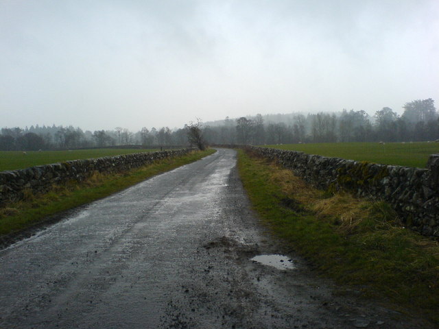
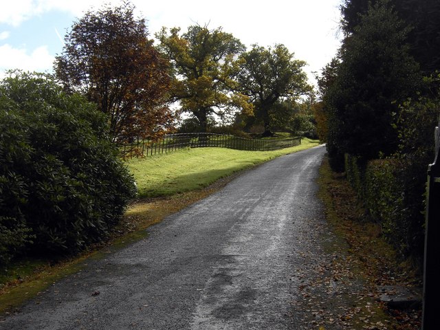
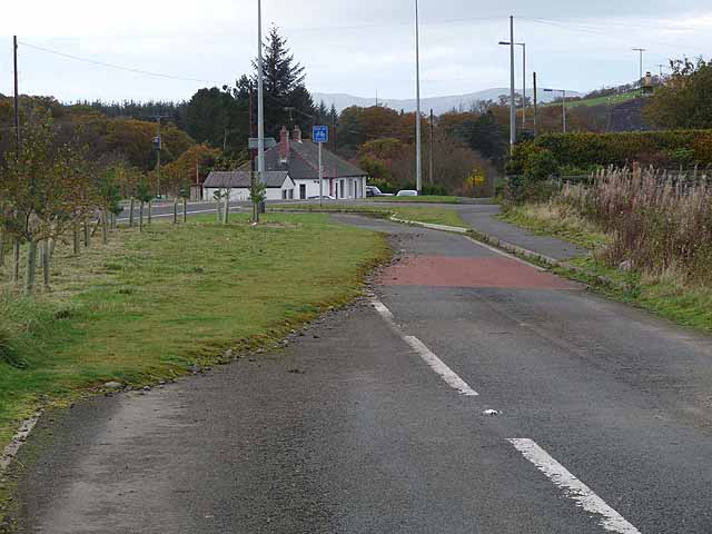
Sawmill Wood Images

Images are sourced within 2km of 55.347106/-3.8776309 or Grid Reference NS8107. Thanks to Geograph Open Source API. All images are credited.

Benchmark at Ryehill Benchmark on the corner of a building at Ryehill.
Benchmark at Ryehill
Benchmark on the corner of a building at Ryehill.
A76 towards Sanquhar
Seat with not much of a view Geocaching is a type of global treasure hunt of people looking for caches, or hidden stashes of objects. Geocaching may also be described as a series of hide-and-seek games, where hiders provide online clues for seekers. Seekers use global positioning system (GPS) devices to find hidden caches
Seat with not much of a view
Geocaching is a type of global treasure hunt of people looking for caches, or hidden stashes of objects. Geocaching may also be described as a series of hide-and-seek games, where hiders provide online clues for seekers. Seekers use global positioning system (GPS) devices to find hidden caches
Mennock Remembers
Mennock Remembers
View from Goose Hill Farm
The road on the southside of the River Nith
The track leading to the forest
Looking across the field
Hungry sheep Sheep tend to run a mile at my approach, except when they think they might get fed. But I had nothing for them!
Hungry sheep
Sheep tend to run a mile at my approach, except when they think they might get fed. But I had nothing for them!
The track leading to the forest Under very different conditions from <a href="https://www.geograph.org.uk/photo/774986">NS7907 : The track leading to the forest</a>.
The track leading to the forest
Under very different conditions from NS7907 : The track leading to the forest.
Driveway to Eliock House The driveway which leads to Eliock House.
Driveway to Eliock House
The driveway which leads to Eliock House.
Twentyshilling Burn Unusual name!
Twentyshilling Burn
Unusual name!
Confluence of burns The Minny E' Burn (mid-right) is a tributary of the Twentyshilling Burn. The structure on the left is a make-shift bridge.
Confluence of burns
The Minny E' Burn (mid-right) is a tributary of the Twentyshilling Burn. The structure on the left is a make-shift bridge.
Eliock Burn Tributary of Twentyshilling Burn.
Eliock Burn
Tributary of Twentyshilling Burn.
After The Rain After a heavy shower of rain the late afternoon sunshine light up the farm track which leads up into Eliock Woods.
After The Rain
After a heavy shower of rain the late afternoon sunshine light up the farm track which leads up into Eliock Woods.
Down freight on the Nithsdale Anglo-Scottish main line View SE just south of Sanquhar, towards Dumfries and Carlisle on the ex-Glasgow & South Western Carlisle - Dumfries - Glasgow main line. The locomotive is Hughes/Fowler 5P4F 2-6-0 No. 42746. See also <a href="https://www.geograph.org.uk/photo/2165305">NS7908 : Down freight train in Nithsdale south of Sanquhar</a>. (I was on our honeymoon and my bride was very tolerant!)
Down freight on the Nithsdale Anglo-Scottish main line
View SE just south of Sanquhar, towards Dumfries and Carlisle on the ex-Glasgow & South Western Carlisle - Dumfries - Glasgow main line. The locomotive is Hughes/Fowler 5P4F 2-6-0 No. 42746. See also NS7908 : Down freight train in Nithsdale south of Sanquhar. (I was on our honeymoon and my bride was very tolerant!)
End of the cycle route! A short way back along this length of old road at Mennock, a signpost indicates this as a cycle route to Kilmarnock about 50 km away.  But after 250 metres, cyclists are mercilessly tipped out onto the fast and busy A76.
End of the cycle route!
A short way back along this length of old road at Mennock, a signpost indicates this as a cycle route to Kilmarnock about 50 km away. But after 250 metres, cyclists are mercilessly tipped out onto the fast and busy A76.
Show me another place!

Sawmill Wood is located at Grid Ref: NS8107 (Lat: 55.347106, Lng: -3.8776309)

Unitary Authority: Dumfries and Galloway

Police Authority: Dumfries and Galloway

What 3 Words

///tablets.bitter.tadpoles. Near Sanquhar, Dumfries & Galloway

Related Wikis

Mennock Lye Goods Depot

Mennock Lye Goods Depot or Mennock Siding was a railway freight facility located off the A76 in the hamlet of Mennock that lies circa two miles (three...

Mennock

Mennock is a small village or hamlet which lies 2 miles (3.2 km) south-east of Sanquhar on the A76, in Dumfriesshire, in the District Council Region of...

Sanquhar Castle

Sanquhar Castle, now a ruin, was built in the 13th century; the ruins are situated north east of Dumfries overlooking the River Nith. Situated on the southern...

Sanquhar

Sanquhar (Scots: Sanchar, Scottish Gaelic: Seanchair) is a village on the River Nith in Dumfries and Galloway, Scotland, north of Thornhill and west of...

Sanquhar Tolbooth

Sanquhar Tolbooth is a municipal building in the High Street in Sanquhar, Dumfries and Galloway, Scotland. The structure, which accommodates a local history...

Sanquhar railway station

Sanquhar railway station is a railway station in the village of Sanquhar, Dumfries and Galloway, Scotland. The station is owned by Network Rail and managed...

Nithsdale Wanderers F.C.

Nithsdale Wanderers Football Club are a Scottish football club based in Sanquhar, Dumfries and Galloway. Their home ground is Lorimer Park and they currently...

Holm House and the Crawick Glen

Holm House and the Crawick Glen were originally part of a small estate in the parishes of Kirkconnel and Sanquhar and lay less than a 1 mile (1.6 km) upstream...

Nearby Amenities

Located within 500m of 55.347106,-3.8776309
Bus Stop
Village
Naptan AtcoCode: 680000138111
Naptan Bearing: NW
Naptan CommonName: Village
Naptan Indicator: opp Braehead
Naptan Landmark: Braehead
Naptan NaptanCode: 34232346
Naptan Notes: none
Naptan Street: A76
Naptan Verified: no
Source: naptan_import
Lat/Long: 55.3510874/-3.8804406
Bus Stop
Village
Naptan AtcoCode: 680000138222
Naptan Bearing: SE
Naptan CommonName: Village
Naptan Indicator: o/s Braehead
Naptan Landmark: Braehead
Naptan NaptanCode: 34232347
Naptan Notes: none
Naptan Street: A76
Naptan Verified: no
Source: naptan_import
Lat/Long: 55.3511527/-3.8802859
Overtown Farm
Naptan AtcoCode: 680000705111
Naptan Bearing: NE
Naptan BusStopType: CUS
Naptan CommonName: Overtown Farm
Naptan Indicator: opp Road End
Naptan Landmark: Overtown
Naptan NaptanCode: 34232345
Naptan Notes: none
Naptan Street: B797
Naptan Verified: no
Source: naptan_import
Lat/Long: 55.3489626/-3.8742515
Overtown Farm
Naptan AtcoCode: 680000705222
Naptan Bearing: SW
Naptan BusStopType: CUS
Naptan CommonName: Overtown Farm
Naptan Indicator: Road End
Naptan Landmark: Overtown
Naptan NaptanCode: 34232343
Naptan Notes: none
Naptan Street: B797
Naptan Verified: no
Source: naptan_import
Lat/Long: 55.3490267/-3.8741757
Defibrillator
Defibrillator Location: Mennock: External wall of double garage, facing road
Emergency: defibrillator
Indoor: no
Lat/Long: 55.3511701/-3.8808136
Power: pole
Lat/Long: 55.3496766/-3.8782762
Power: pole
Lat/Long: 55.3503279/-3.8778222
Power: pole
Lat/Long: 55.3506162/-3.8776228
Power: pole
Lat/Long: 55.3509744/-3.8773767
Power: pole
Lat/Long: 55.3465199/-3.8707408
Power: pole
Lat/Long: 55.3470229/-3.871984
Power: pole
Lat/Long: 55.3474475/-3.8729705
Power: pole
Lat/Long: 55.3478479/-3.873957
Power: pole
Lat/Long: 55.3482593/-3.8749434
Power: pole
Lat/Long: 55.3486139/-3.8757984
Power: pole
Lat/Long: 55.3491422/-3.877014
Power: pole
Lat/Long: 55.3501844/-3.8793306
Power: pole
Lat/Long: 55.3507814/-3.8805737
Power: pole
Lat/Long: 55.3464234/-3.8709721
Power: pole
Lat/Long: 55.3455898/-3.8715746
Power: pole
Lat/Long: 55.345047/-3.872735
Power: pole
Lat/Long: 55.3446899/-3.8735008
Power: pole
Lat/Long: 55.344398/-3.8741076
Power: pole
Lat/Long: 55.3439142/-3.8751471
Power: pole
Lat/Long: 55.3432772/-3.8764963
Power: pole
Lat/Long: 55.3428767/-3.8773852
Power: pole
Lat/Long: 55.3427645/-3.8789233
Power: pole
Lat/Long: 55.3431542/-3.8772134
Power: pole
Lat/Long: 55.3434389/-3.87705
Power: pole
Lat/Long: 55.3440059/-3.8767063
Power: pole
Lat/Long: 55.3444112/-3.8765006
Power: pole
Lat/Long: 55.344708/-3.8757835
Power: pole
Lat/Long: 55.350887/-3.8760487
Power: pole
Lat/Long: 55.3501958/-3.8751768
Power: pole
Lat/Long: 55.3494709/-3.8742561
Power: pole
Lat/Long: 55.3493949/-3.873749
Power: pole
Lat/Long: 55.3492972/-3.873119
The data included in this document is from www.openstreetmap.org. The data is made available under ODbL.

Have you been to Sawmill Wood?

Leave your review of Sawmill Wood below (or comments, questions and feedback).