Avenue Wood

Wood, Forest in Stirlingshire

Scotland

Avenue Wood

Minor road between Kingsburgh and Craigend Looking south-westward.
Minor road between Kingsburgh and Craigend Credit: Peter Wood

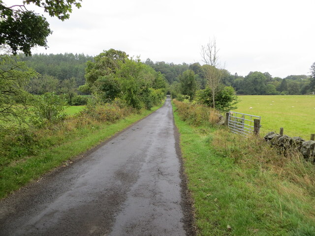
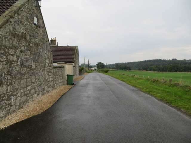
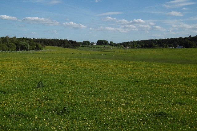
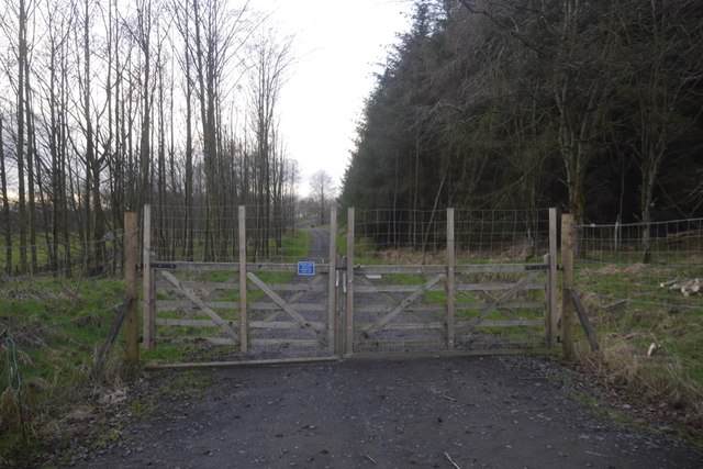
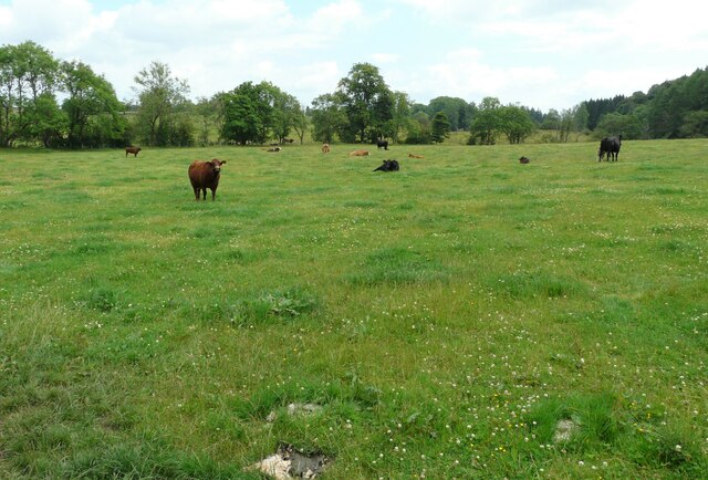
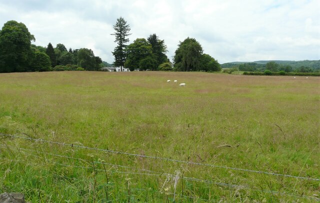
Avenue Wood is a picturesque forest located in Stirlingshire, Scotland. Covering an area of approximately 100 acres, it is home to a diverse range of flora and fauna, making it a popular destination for nature enthusiasts and hikers alike.

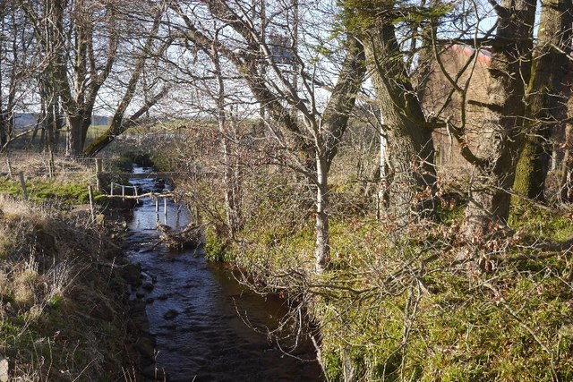
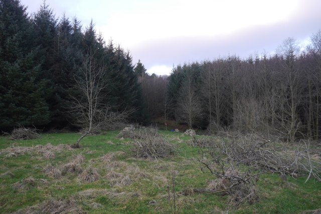
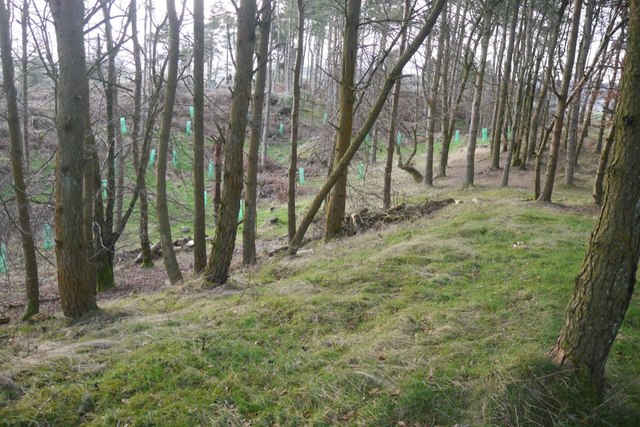
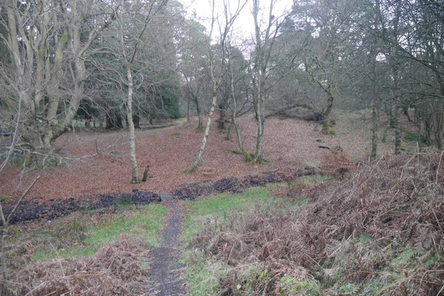
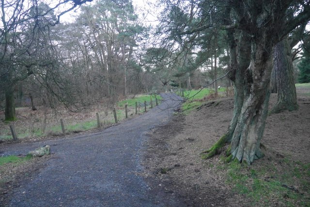
The wood is characterized by its dense canopy of tall, mature trees, predominantly consisting of native species such as oak, beech, and birch. These majestic trees provide a tranquil and serene atmosphere, offering a welcome respite from the hustle and bustle of everyday life.

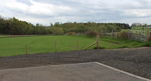
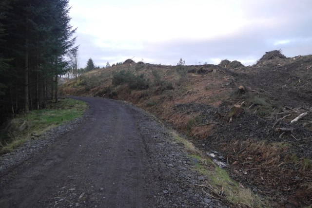
As visitors explore the wood, they will discover a network of well-maintained trails that wind their way through the forest. These paths offer opportunities to observe the local wildlife, including an array of bird species, small mammals, and even occasional sightings of deer.

The wood is also home to a variety of plant life, with an abundance of wildflowers, ferns, and mosses carpeting the forest floor. In springtime, the woods burst into a riot of color as bluebells and primroses bloom, creating a stunning display.

In addition to its natural beauty, Avenue Wood holds historical significance. It is believed that the area was once part of a larger estate and has been managed by various landowners throughout its history. Today, it is owned and maintained by the local council, who ensure its preservation for future generations to enjoy.

Overall, Avenue Wood offers a peaceful and captivating experience for those seeking a connection with nature. Its combination of scenic beauty, abundant wildlife, and historical charm make it a must-visit destination for anyone exploring Stirlingshire.

If you have any feedback on the listing, please let us know in the comments section below.
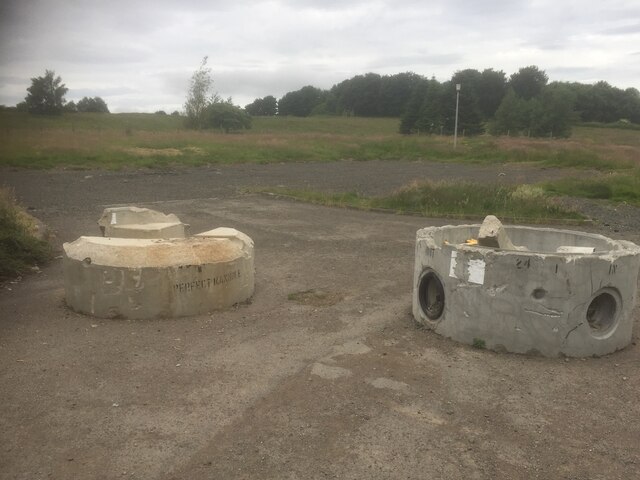
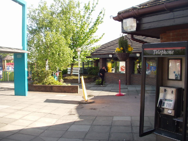
Avenue Wood Images

Images are sourced within 2km of 56.065918/-3.9152461 or Grid Reference NS8087. Thanks to Geograph Open Source API. All images are credited.

Minor road between Kingsburgh and Craigend Looking south-westward.
Minor road between Kingsburgh and Craigend
Looking south-westward.
Minor road at Cauldbarns Looking south-eastward.
Minor road at Cauldbarns
Looking south-eastward.
Ordnance Survey Cut Mark with Rivet This mark can be found on top of the parapet wall of a road bridge near Auchenbowie.
The recorded details give a height of 79.35 metres above sea level.
For more detail see : <span class="nowrap"><a title="https://www.bench-marks.org.uk/bm179739" rel="nofollow ugc noopener" href="https://www.bench-marks.org.uk/bm179739">Link</a><img style="margin-left:2px;" alt="External link" title="External link - shift click to open in new window" src="https://s1.geograph.org.uk/img/external.png" width="10" height="10"/></span>
Ordnance Survey Cut Mark with Rivet
This mark can be found on top of the parapet wall of a road bridge near Auchenbowie. The recorded details give a height of 79.35 metres above sea level. For more detail see : LinkExternal link
Ordnance Survey Flush Bracket S8923 This bracket can be found on the wall of West Byre at Cauldbarns.
The recorded details give a height of 90.7886 metres above sea level.
For more detail see : <span class="nowrap"><a title="https://www.bench-marks.org.uk/bm21295" rel="nofollow ugc noopener" href="https://www.bench-marks.org.uk/bm21295">Link</a><img style="margin-left:2px;" alt="External link" title="External link - shift click to open in new window" src="https://s1.geograph.org.uk/img/external.png" width="10" height="10"/></span>
Ordnance Survey Flush Bracket S8923
This bracket can be found on the wall of West Byre at Cauldbarns. The recorded details give a height of 90.7886 metres above sea level. For more detail see : LinkExternal link
M80 and M9 (at M9 Junction 9) Looking in the direction of Glasgow at the point where the M9 becomes the M80. The M9 itself branches off on the slip road to the left. The long queue of traffic was due to an accident further down the M80.
M80 and M9 (at M9 Junction 9)
Looking in the direction of Glasgow at the point where the M9 becomes the M80. The M9 itself branches off on the slip road to the left. The long queue of traffic was due to an accident further down the M80.
Buttercups, Cauldbarns
Drainage, Auchenbowie A straightened out burn.
Drainage, Auchenbowie
A straightened out burn.
New parking opposite Rosehall on New Line Road
New road, Barr Wood The road, which is new and not on the latest edition of the orienteering map runs up to a shelter at NS790867. It has been used to extract timber and services the scout camp without destroying the wild feel of the part of the camp most often used.
New road, Barr Wood
The road, which is new and not on the latest edition of the orienteering map runs up to a shelter at NS790867. It has been used to extract timber and services the scout camp without destroying the wild feel of the part of the camp most often used.
Barr Wood By the new road on the edge of the woodland. This is a small commercial plantation and does not appear to be used by the Scout camp.
Barr Wood
By the new road on the edge of the woodland. This is a small commercial plantation and does not appear to be used by the Scout camp.
New road and felled area, Barr Wood The road is of very recent construction.
New road and felled area, Barr Wood
The road is of very recent construction.
Barr Wood Near the summit. The last orienteering map showed the summit to be almost inaccessible due to windthrow, but in the past two years the place has been tidied up. The trees in the foreground survived.
Barr Wood
Near the summit. The last orienteering map showed the summit to be almost inaccessible due to windthrow, but in the past two years the place has been tidied up. The trees in the foreground survived.
Barr Wood Much of the wood is used as a Scout camp, so best visited in Winter.
Barr Wood
Much of the wood is used as a Scout camp, so best visited in Winter.
Path, Barr Wood Newly upgraded path. The wood is used as a Scout camp.
Path, Barr Wood
Newly upgraded path. The wood is used as a Scout camp.
Closed caravan site, Auchenbowie
Field with cattle
Field with cattle
Field with sheep Craigend is in amongst the trees in the distance.
Field with sheep
Craigend is in amongst the trees in the distance.
Brucefields Family Golf Club Now closed and the buildings demolished. It looked like this once <a href="https://www.geograph.org.uk/photo/55045">NS8089 : Driving Range, Bannockburn</a>
Brucefields Family Golf Club
Now closed and the buildings demolished. It looked like this once NS8089 : Driving Range, Bannockburn
Show me another place!

Avenue Wood is located at Grid Ref: NS8087 (Lat: 56.065918, Lng: -3.9152461)

Unitary Authority: Stirling

Police Authority: Forth Valley

What 3 Words

///nuptials.thrones.views. Near Plean, Stirling

Related Wikis

Battle of Sauchieburn

The Battle of Sauchieburn was fought on 11 June 1488, at the side of Sauchie Burn, a stream about two miles (3 km) south of Stirling, Scotland. The battle...
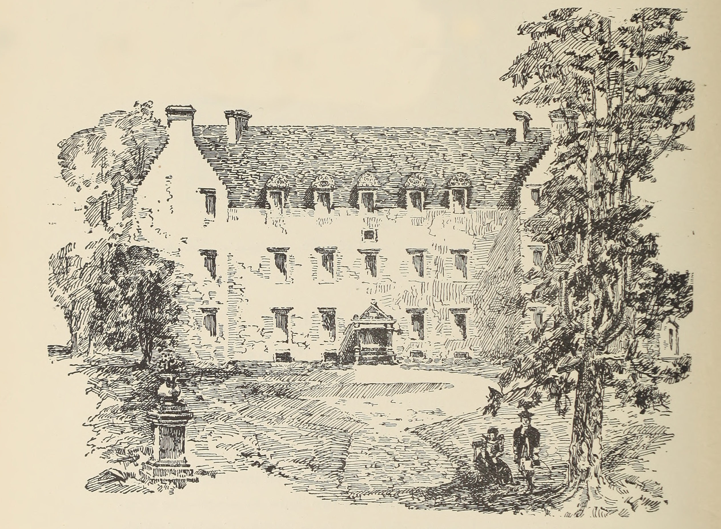
Auchenbowie House

Auchenbowie House is a laird's house (mansion) in Stirling, Scotland. The location is about 3.5 miles (5.6 km) south of Stirling, on minor road west of...

Stirling services

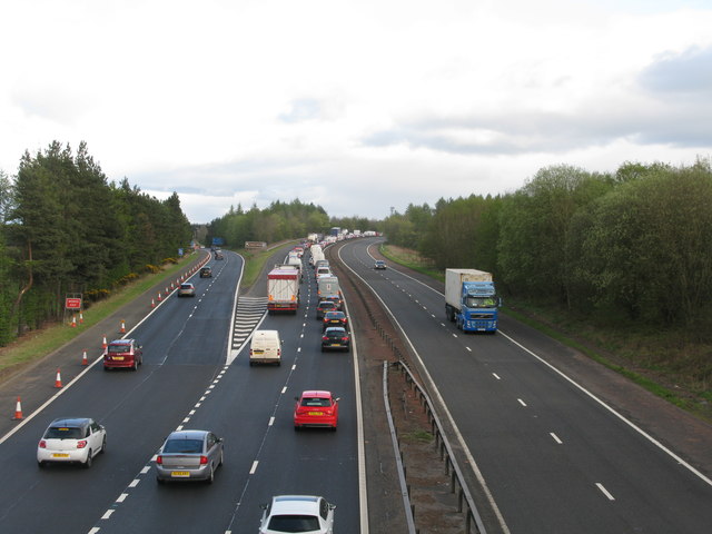
Stirling services is a motorway service station near Stirling, Scotland. The service station is located where the M9 motorway and M80 motorway join. It...

Bannockburn House

Bannockburn House is a property of historical significance in the town of Bannockburn. It is a Category A listed building. == History == Bannockburn House...

Howietoun Fishery

Howietoun Fishery was created by Sir James Ramsay Gibson Maitland; it is a Victorian fish farm that specialised in the study of trout and salmon farming...

Bannockburn

Bannockburn (Scottish Gaelic Allt a' Bhonnaich) is an area immediately south of the centre of Stirling in Scotland. It is part of the City of Stirling...

Plean

Plean is a village, in the Stirling council area of central Scotland, located on the main A9 road from Falkirk. At the 2001 census, Plean had a population...

Broomridge

Broomridge is a district in the south of the city of Stirling, Scotland, located north of Bannockburn and east of St. Ninians. It is home to Bannockburn...

Nearby Amenities

Located within 500m of 56.065918,-3.9152461
Motorway Junction
Pirnhall Interchange
Ref: 9
Lat/Long: 56.0679815/-3.9223801
Entrance: main
Lat/Long: 56.06553/-3.9096944
Power: pole
Lat/Long: 56.0657151/-3.9075514
Battle of Sauchieburn (1488)
Historic: battlefield
Lat/Long: 56.0667164/-3.9168041
Power: pole
Lat/Long: 56.0654454/-3.9197901
Power: pole
Lat/Long: 56.0644862/-3.9192663
Power: pole
Lat/Long: 56.0639551/-3.9190107
Power: pole
Lat/Long: 56.0634205/-3.9182752
Power: pole
Lat/Long: 56.0627291/-3.9173679
Power: pole
Lat/Long: 56.0621208/-3.916559
Power: pole
Lat/Long: 56.0616119/-3.9155218
The data included in this document is from www.openstreetmap.org. The data is made available under ODbL.

Have you been to Avenue Wood?

Leave your review of Avenue Wood below (or comments, questions and feedback).