Sheriffmuir Big Wood
Wood, Forest in Perthshire
Scotland
Sheriffmuir Big Wood

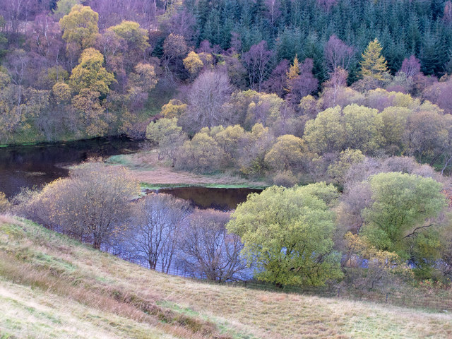
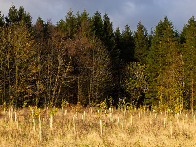
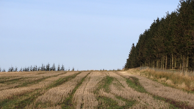
Sheriffmuir Big Wood is a majestic forest located in Perthshire, Scotland. Covering an expansive area of approximately 1,200 hectares, this woodland stretches across the hills and valleys of the Sheriffmuir area. The forest is part of the larger Ochil Hills, which is renowned for its outstanding natural beauty.
The wood is characterized by its diverse range of tree species, including Scots pine, oak, birch, and beech. These tall, ancient trees create a dense canopy that provides a haven for a variety of wildlife. Walking through the woodland, visitors can spot numerous bird species, such as woodpeckers, owls, and buzzards. Deer, foxes, and squirrels also call this woodland home.
Sheriffmuir Big Wood offers an idyllic setting for outdoor enthusiasts. With a network of well-maintained trails, visitors can explore the forest at their leisure. The paths wind through the wood, offering breathtaking views of the surrounding countryside and the distant mountains. In the spring, the forest floor comes alive with vibrant wildflowers, creating a colorful tapestry.
The wood has a rich history, with remnants of ancient settlements and burial sites scattered throughout. It is also famous for its connection to the Battle of Sheriffmuir, which took place in 1715 during the Jacobite uprising. Today, the woodland serves as a reminder of the area's historical significance.
Sheriffmuir Big Wood is a cherished natural gem in Perthshire, offering tranquility, beauty, and a glimpse into the region's past. Whether for a leisurely stroll, wildlife observation, or a delve into history, this forest is a must-visit destination for nature lovers and history enthusiasts alike.
If you have any feedback on the listing, please let us know in the comments section below.
Sheriffmuir Big Wood Images
Images are sourced within 2km of 56.197514/-3.9210596 or Grid Reference NN8002. Thanks to Geograph Open Source API. All images are credited.


Sheriffmuir Big Wood is located at Grid Ref: NN8002 (Lat: 56.197514, Lng: -3.9210596)
Unitary Authority: Stirling
Police Authority: Forth Valley
What 3 Words
///taped.reconnect.flamingo. Near Dunblane, Stirling
Nearby Locations
Related Wikis

Battle of Sheriffmuir
The Battle of Sheriffmuir (Scottish Gaelic: Blàr Sliabh an t-Siorraim, [pl̪ˠaɾ ˈʃʎiəv əɲ ˈtʲʰirˠəm]) was an engagement in 1715 at the height of the Jacobite...
St Mary's Episcopal Church, Dunblane
St Mary's Episcopal Church is a medium-sized church of the Scottish Episcopal Church in Dunblane, Scotland. It is situated by the Fourways roundabout....

Diocese of Dunblane
The Diocese of Dunblane or Diocese of Strathearn was one of the thirteen historical dioceses of Scotland, before the abolition of episcopacy in the Scottish...
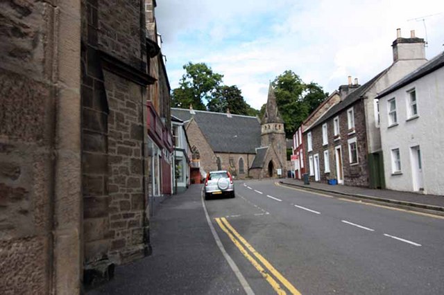
St Blane's Church, Dunblane
St Blane's is a Church of Scotland church located in Dunblane, Scotland. The evangelical congregation is within the Church of Scotland's Presbytery of...

Dunblane Museum
Dunblane Museum is a historic building in the Scottish town of Dunblane, Stirling. Located in The Cross, immediately to the south of Dunblane Cathedral...
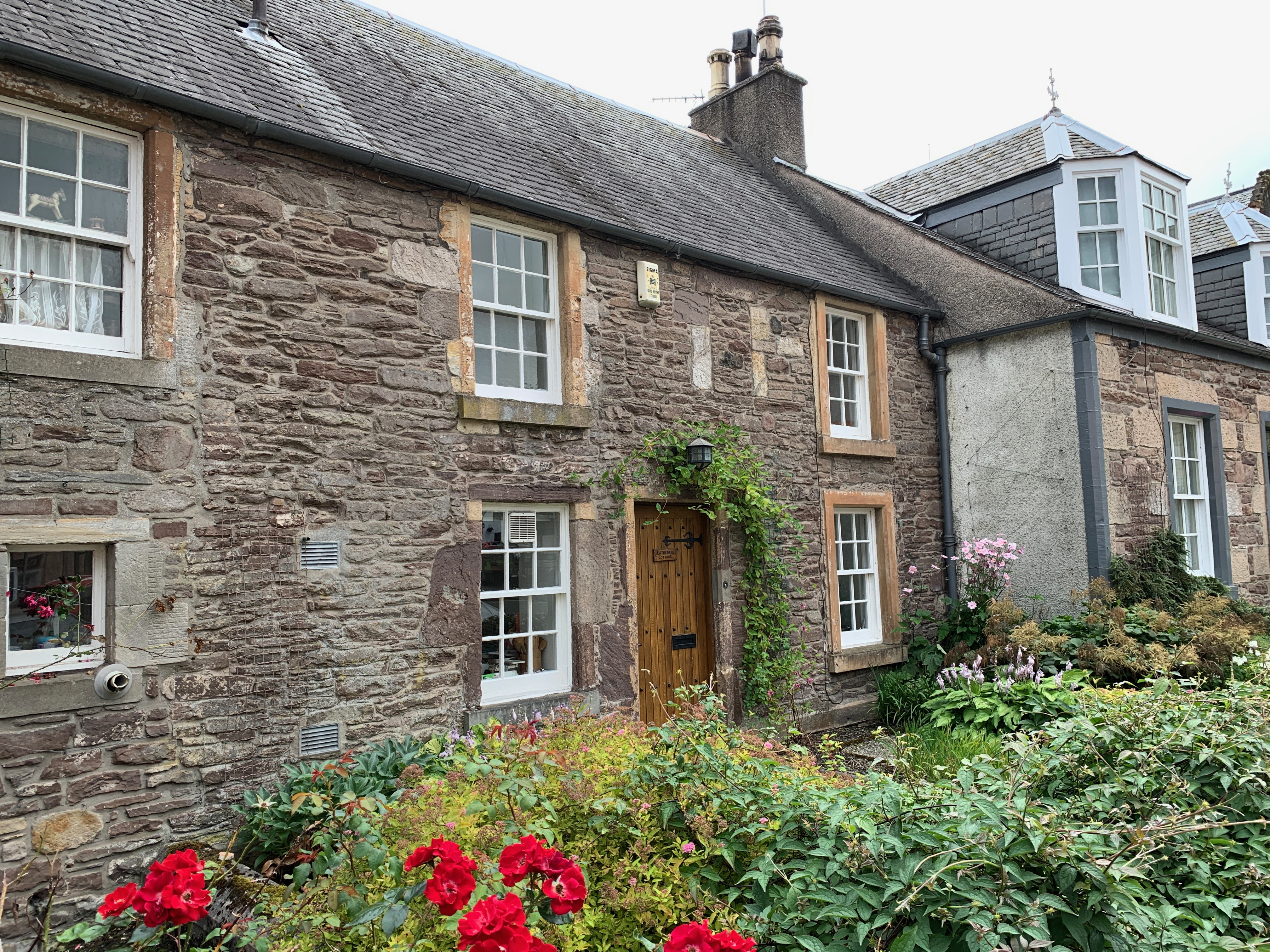
St Clement's Cottage
St Clement's Cottage is a building in the Scottish town of Dunblane, Stirling. Located in The Cross, immediately to the south of Dunblane Cathedral, it...
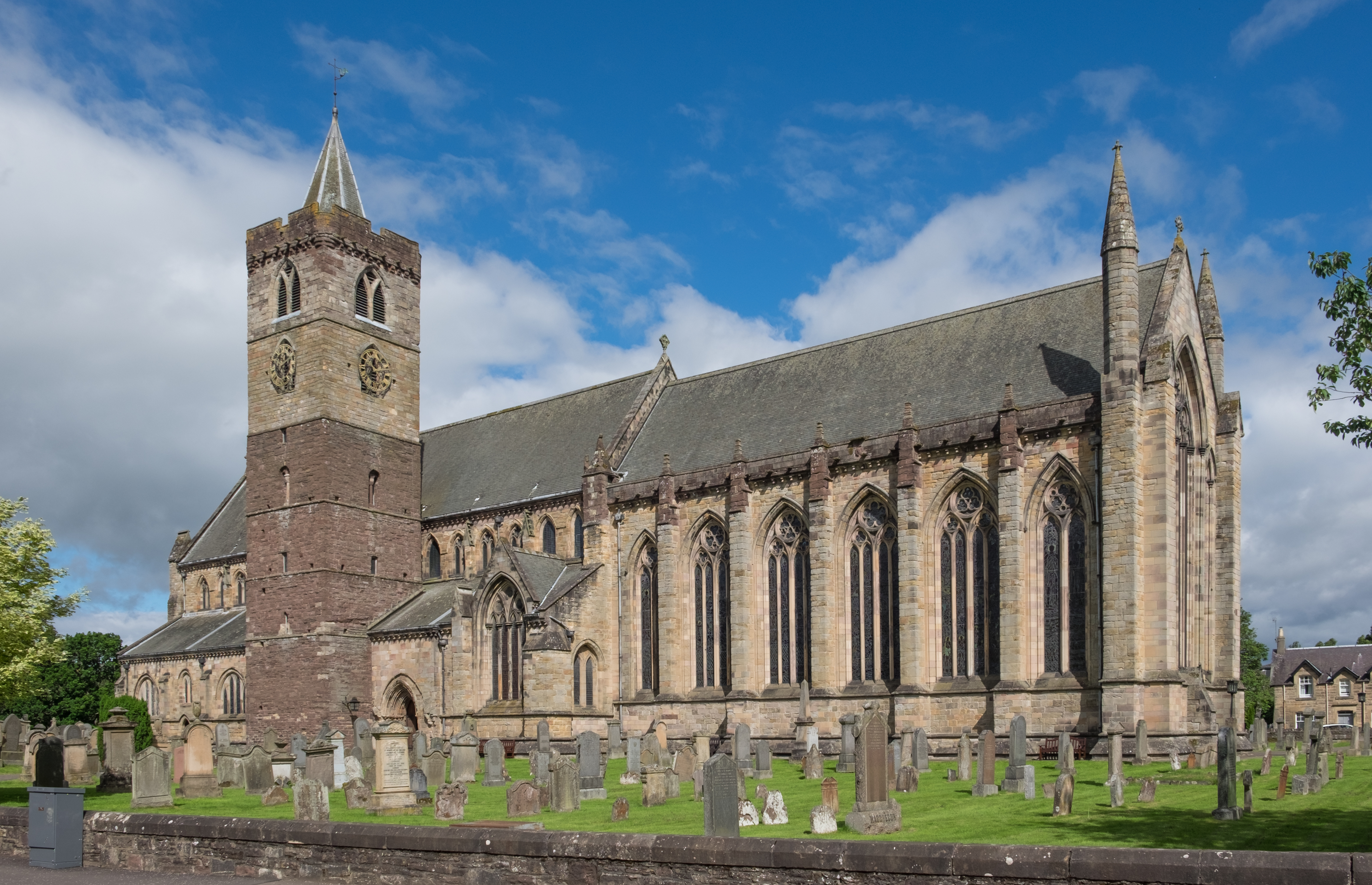
Dunblane Cathedral
Dunblane Cathedral is the larger of the two Church of Scotland parish churches serving Dunblane, near the city of Stirling, in central Scotland. The lower...
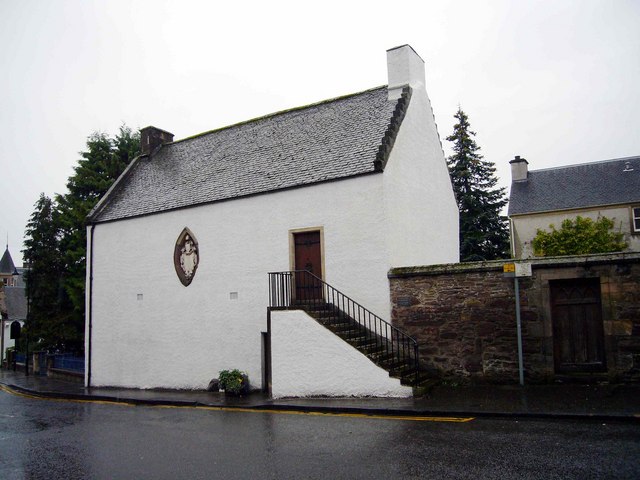
Leighton Library
The Leighton Library, or Bibliotheca Leightoniana, in The Cross, Dunblane, is the oldest purpose built library in Scotland and also has a well-documented...
Nearby Amenities
Located within 500m of 56.197514,-3.9210596Have you been to Sheriffmuir Big Wood?
Leave your review of Sheriffmuir Big Wood below (or comments, questions and feedback).