Red Brae
Wood, Forest in Kirkcudbrightshire
Scotland
Red Brae

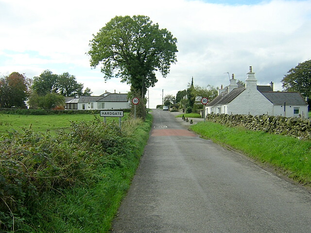
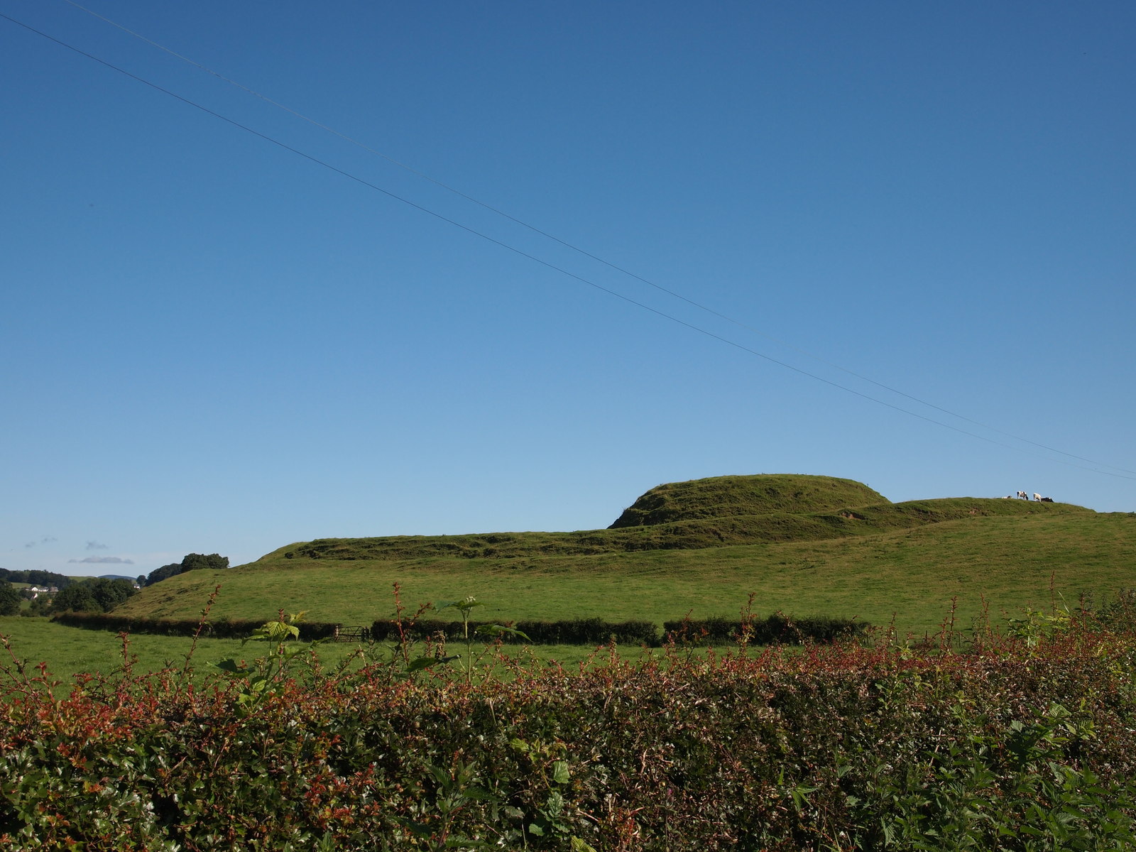
Red Brae is a picturesque woodland area located in the historic county of Kirkcudbrightshire, Scotland. Situated amidst the rolling hills and green landscapes, this wood or forest is known for its stunning natural beauty and its diverse ecosystem.
Covering an expansive area of approximately 100 acres, Red Brae is characterized by its dense canopy of tall trees, mainly comprising native species such as oak, birch, and beech. The wood is particularly renowned for its vibrant autumn colors when the leaves turn into various shades of red, orange, and gold, creating a captivating spectacle for visitors.
Walking through Red Brae, one can find a well-maintained network of trails that meander through the woodland, offering visitors the opportunity to immerse themselves in nature and explore the area's biodiversity. The forest floor is covered with a rich carpet of mosses, ferns, and wildflowers, providing a haven for various small animals, insects, and birds.
The wood is also home to a variety of wildlife, including squirrels, rabbits, and an array of bird species such as woodpeckers, owls, and songbirds. Nature enthusiasts and birdwatchers often flock to Red Brae to catch a glimpse of these creatures in their natural habitat.
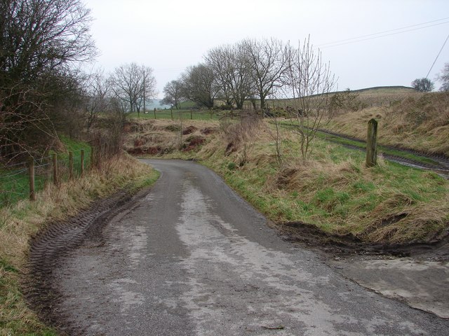
In addition to its natural splendor, Red Brae offers a peaceful and tranquil atmosphere, making it an ideal spot for picnics, leisurely walks, or simply finding solace in the beauty of nature. The wood is easily accessible, with well-marked paths and ample parking facilities nearby.
Overall, Red Brae in Kirkcudbrightshire is a stunning woodland that not only provides a respite from the hustle and bustle of everyday life but also serves as a haven for a rich and diverse range of plant and animal life.
If you have any feedback on the listing, please let us know in the comments section below.
Red Brae Images
Images are sourced within 2km of 54.973438/-3.8630403 or Grid Reference NX8065. Thanks to Geograph Open Source API. All images are credited.


Red Brae is located at Grid Ref: NX8065 (Lat: 54.973438, Lng: -3.8630403)
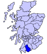
Unitary Authority: Dumfries and Galloway
Police Authority: Dumfries and Galloway
What 3 Words
///exotic.defers.drum. Near Dalbeattie, Dumfries & Galloway
Nearby Locations
Related Wikis

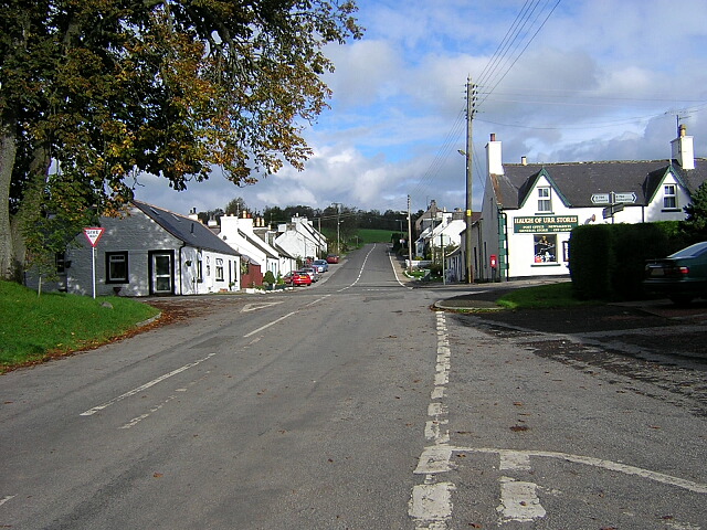
Haugh of Urr
Haugh of Urr (), is a village in the historical county of Kirkcudbrightshire in Dumfries and Galloway, Scotland. It is approximately 4 miles (6 kilometres...
Motte of Urr
The Motte of Urr is the remains of a 12th-century motte-and-bailey castle located near the Haugh of Urr in Dumfries and Galloway, Scotland. == History... ==
Buittle railway station
Buittle railway station, also known as Buittle Halt, Buittle Mill and Buittle Mill Halt, served the civil parish of Buittle, Dumfries and Galloway, Scotland...
Stewartry
Stewartry was a local government district from 1975 until 1996 within the Dumfries and Galloway region in south-west Scotland. Under the name Stewartry...

Buittle
Buittle is an ecclesiastical and civil parish in Dumfries and Galloway, southwest Scotland, in the traditional county of Kirkcudbrightshire. It lies to...

A75 road
The A75 is a primary trunk road in Scotland, linking Stranraer and its ferry ports at Cairnryan with the A74(M) at Gretna, close to the border with England...

Springholm
Springholm is a village in the historical county of Kirkcudbrightshire in Dumfries and Galloway, Scotland. It is located 14 miles (23 km) west of Dumfries...

Buittle Castle
Buittle Castle, also known historically as Botle or Botel Castle, is a Motte and Bailey site in Galloway, south-west Scotland with significant early and...
Nearby Amenities
Located within 500m of 54.973438,-3.8630403Have you been to Red Brae?
Leave your review of Red Brae below (or comments, questions and feedback).