Auchenbowie Wood

Wood, Forest in Stirlingshire

Scotland

Auchenbowie Wood

Nearing the end of the M80 The M80 joins Glasgow to Stirling. It runs 25 miles from Glasgow to Bannockburn.
<span class="nowrap"><a title="https://www.sabre-roads.org.uk/wiki/index.php?title=M80" rel="nofollow ugc noopener" href="https://www.sabre-roads.org.uk/wiki/index.php?title=M80">Link</a><img style="margin-left:2px;" alt="External link" title="External link - shift click to open in new window" src="https://s1.geograph.org.uk/img/external.png" width="10" height="10"/></span>
Nearing the end of the M80 Credit: N Chadwick

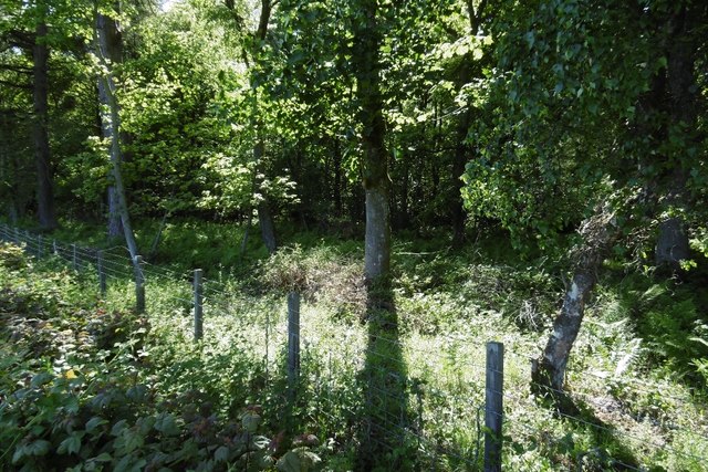
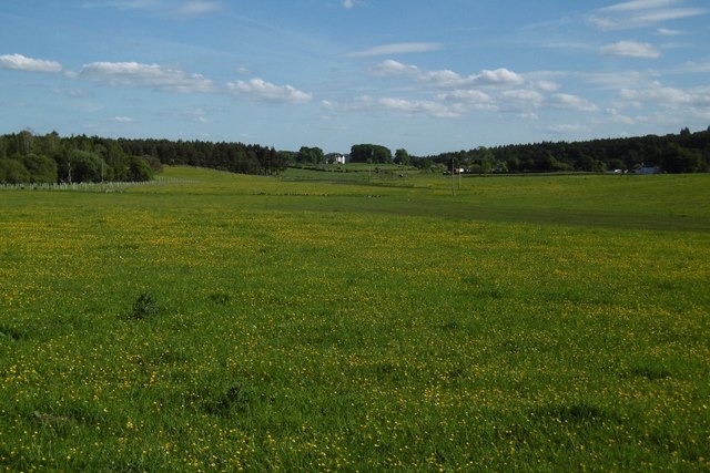
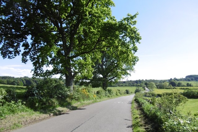
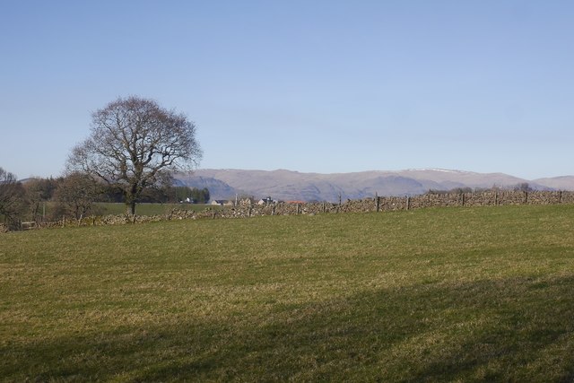
Auchenbowie Wood is a picturesque woodland located in Stirlingshire, Scotland. Nestled within the countryside, this enchanting forest covers an area of approximately 140 hectares. The wood is part of the wider Auchenbowie Estate and is renowned for its natural beauty and diverse wildlife.

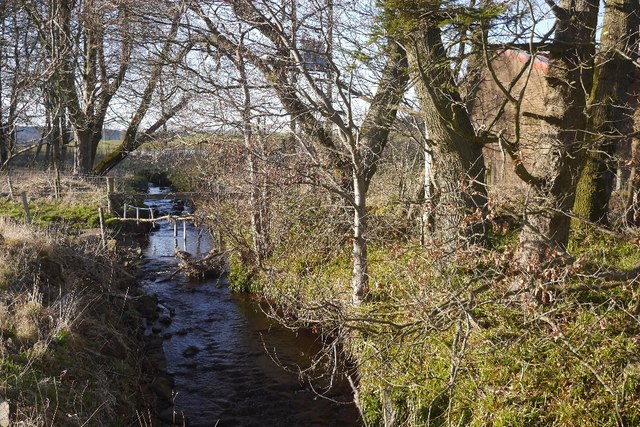
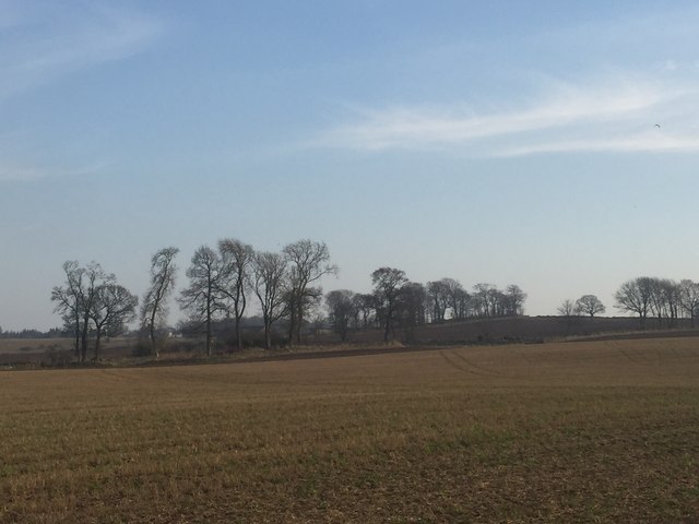
The wood is primarily composed of native broadleaf trees, including oak, birch, and ash, which create a rich and vibrant canopy. The forest floor is adorned with a carpet of wildflowers, ferns, and mosses, adding to its magical allure.

Auchenbowie Wood offers an ideal habitat for a wide range of wildlife species. Bird enthusiasts can spot numerous species, such as woodpeckers, owls, and various songbirds, nesting among the branches. Small mammals like red squirrels and badgers roam the forest, while larger mammals like deer and foxes can also be occasionally sighted.

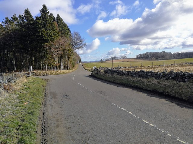
The wood features a network of well-maintained trails, allowing visitors to explore its beauty on foot. These paths wind through the forest, offering breathtaking views of the surrounding landscape. Nature enthusiasts can enjoy peaceful walks, birdwatching, or simply immerse themselves in the tranquil atmosphere.

Auchenbowie Wood is not only cherished for its natural splendor but also for its historical significance. The woodland has been a part of the Auchenbowie Estate for centuries and has witnessed the passage of time. It provides visitors with a glimpse into the rich cultural heritage of the area.

Overall, Auchenbowie Wood is a captivating destination for nature lovers, offering a serene escape and an opportunity to connect with the beauty of the Scottish countryside.

If you have any feedback on the listing, please let us know in the comments section below.

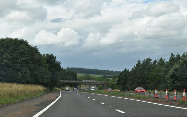
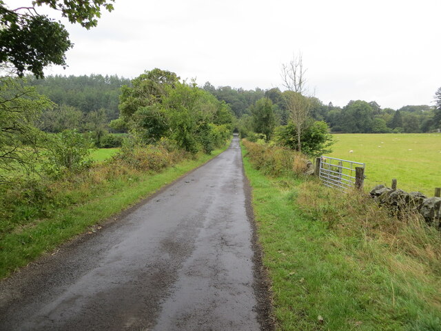
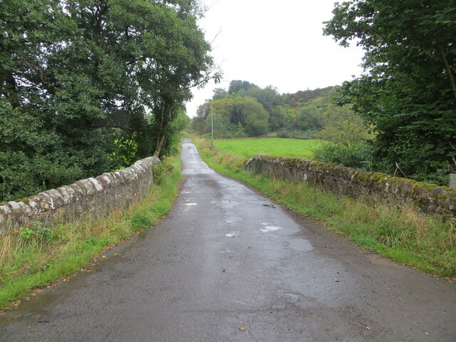
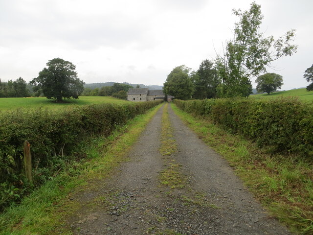
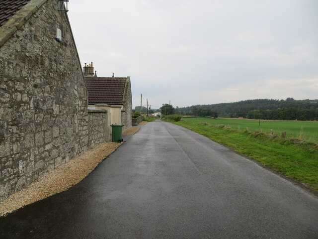
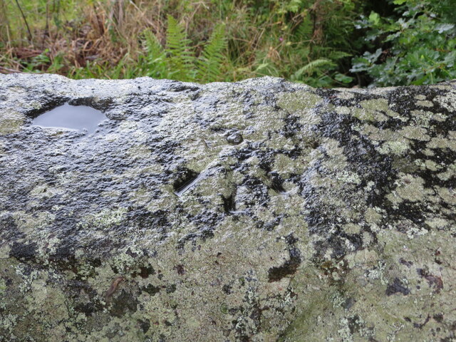
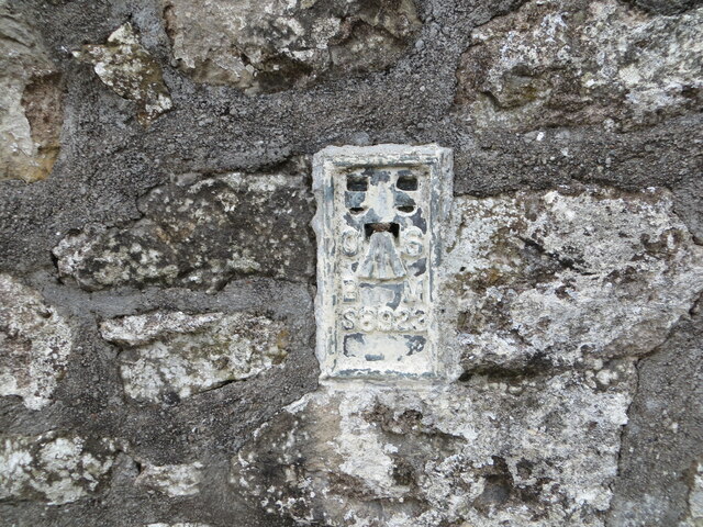
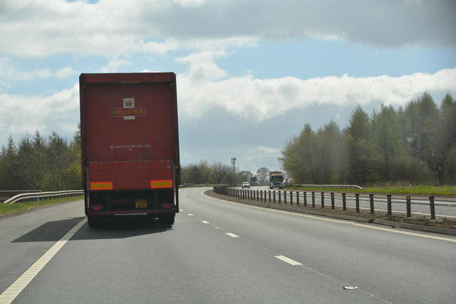
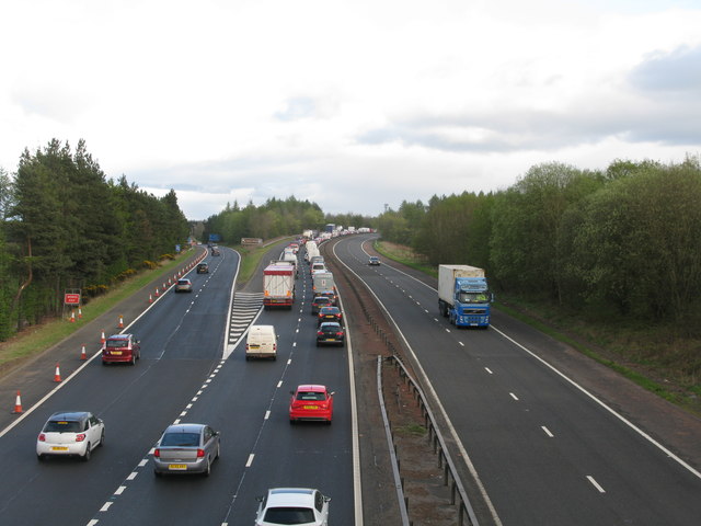
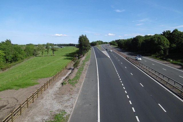
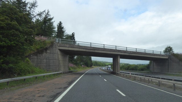
Auchenbowie Wood Images

Images are sourced within 2km of 56.067331/-3.9243125 or Grid Reference NS8087. Thanks to Geograph Open Source API. All images are credited.

Nearing the end of the M80 The M80 joins Glasgow to Stirling. It runs 25 miles from Glasgow to Bannockburn.
<span class="nowrap"><a title="https://www.sabre-roads.org.uk/wiki/index.php?title=M80" rel="nofollow ugc noopener" href="https://www.sabre-roads.org.uk/wiki/index.php?title=M80">Link</a><img style="margin-left:2px;" alt="External link" title="External link - shift click to open in new window" src="https://s1.geograph.org.uk/img/external.png" width="10" height="10"/></span>
Nearing the end of the M80
The M80 joins Glasgow to Stirling. It runs 25 miles from Glasgow to Bannockburn. LinkExternal link
Minor road between Kingsburgh and Craigend Looking south-westward.
Minor road between Kingsburgh and Craigend
Looking south-westward.
Minor road and bridge crossing a small burn near to Milnholm Looking south-eastward.
Minor road and bridge crossing a small burn near to Milnholm
Looking south-eastward.
Hedge-lined track giving access to Old Sauchie Mill and Cottages Looking north-westward.
Hedge-lined track giving access to Old Sauchie Mill and Cottages
Looking north-westward.
Minor road at Cauldbarns Looking south-eastward.
Minor road at Cauldbarns
Looking south-eastward.
Ordnance Survey Cut Mark with Rivet This mark can be found on top of the parapet wall of a road bridge near Auchenbowie.
The recorded details give a height of 79.35 metres above sea level.
For more detail see : <span class="nowrap"><a title="https://www.bench-marks.org.uk/bm179739" rel="nofollow ugc noopener" href="https://www.bench-marks.org.uk/bm179739">Link</a><img style="margin-left:2px;" alt="External link" title="External link - shift click to open in new window" src="https://s1.geograph.org.uk/img/external.png" width="10" height="10"/></span>
Ordnance Survey Cut Mark with Rivet
This mark can be found on top of the parapet wall of a road bridge near Auchenbowie. The recorded details give a height of 79.35 metres above sea level. For more detail see : LinkExternal link
Ordnance Survey Flush Bracket S8923 This bracket can be found on the wall of West Byre at Cauldbarns.
The recorded details give a height of 90.7886 metres above sea level.
For more detail see : <span class="nowrap"><a title="https://www.bench-marks.org.uk/bm21295" rel="nofollow ugc noopener" href="https://www.bench-marks.org.uk/bm21295">Link</a><img style="margin-left:2px;" alt="External link" title="External link - shift click to open in new window" src="https://s1.geograph.org.uk/img/external.png" width="10" height="10"/></span>
Ordnance Survey Flush Bracket S8923
This bracket can be found on the wall of West Byre at Cauldbarns. The recorded details give a height of 90.7886 metres above sea level. For more detail see : LinkExternal link
Stirling : The M9 The M9 Motorway heading through Stirling.
Stirling : The M9
The M9 Motorway heading through Stirling.
M80 and M9 (at M9 Junction 9) Looking in the direction of Glasgow at the point where the M9 becomes the M80. The M9 itself branches off on the slip road to the left. The long queue of traffic was due to an accident further down the M80.
M80 and M9 (at M9 Junction 9)
Looking in the direction of Glasgow at the point where the M9 becomes the M80. The M9 itself branches off on the slip road to the left. The long queue of traffic was due to an accident further down the M80.
M9, Pirnhall M9 and M80 junction. There is a new fence and drain on the left which meant taking a few trees out.
M9, Pirnhall
M9 and M80 junction. There is a new fence and drain on the left which meant taking a few trees out.
Fiveyates Wood A small wood behind a counter strung barbed wire fence.
Fiveyates Wood
A small wood behind a counter strung barbed wire fence.
Buttercups, Cauldbarns
Stirling to Carron Bridge road
Field, Craigend A view towards Ben Cleuch.
Field, Craigend
A view towards Ben Cleuch.
Drainage, Auchenbowie A straightened out burn.
Drainage, Auchenbowie
A straightened out burn.
Carron Bridge to Stirling road
New Line Road crossing the M9
Field by Foot o' the Green Above the M9 near Bannockburn.
Field by Foot o' the Green
Above the M9 near Bannockburn.
Show me another place!

Auchenbowie Wood is located at Grid Ref: NS8087 (Lat: 56.067331, Lng: -3.9243125)

Unitary Authority: Stirling

Police Authority: Forth Valley

What 3 Words

///ulterior.squad.tolerable. Near Bannockburn, Stirling

Related Wikis

Battle of Sauchieburn

The Battle of Sauchieburn was fought on 11 June 1488, at the side of Sauchie Burn, a stream about two miles (3 km) south of Stirling, Scotland. The battle...
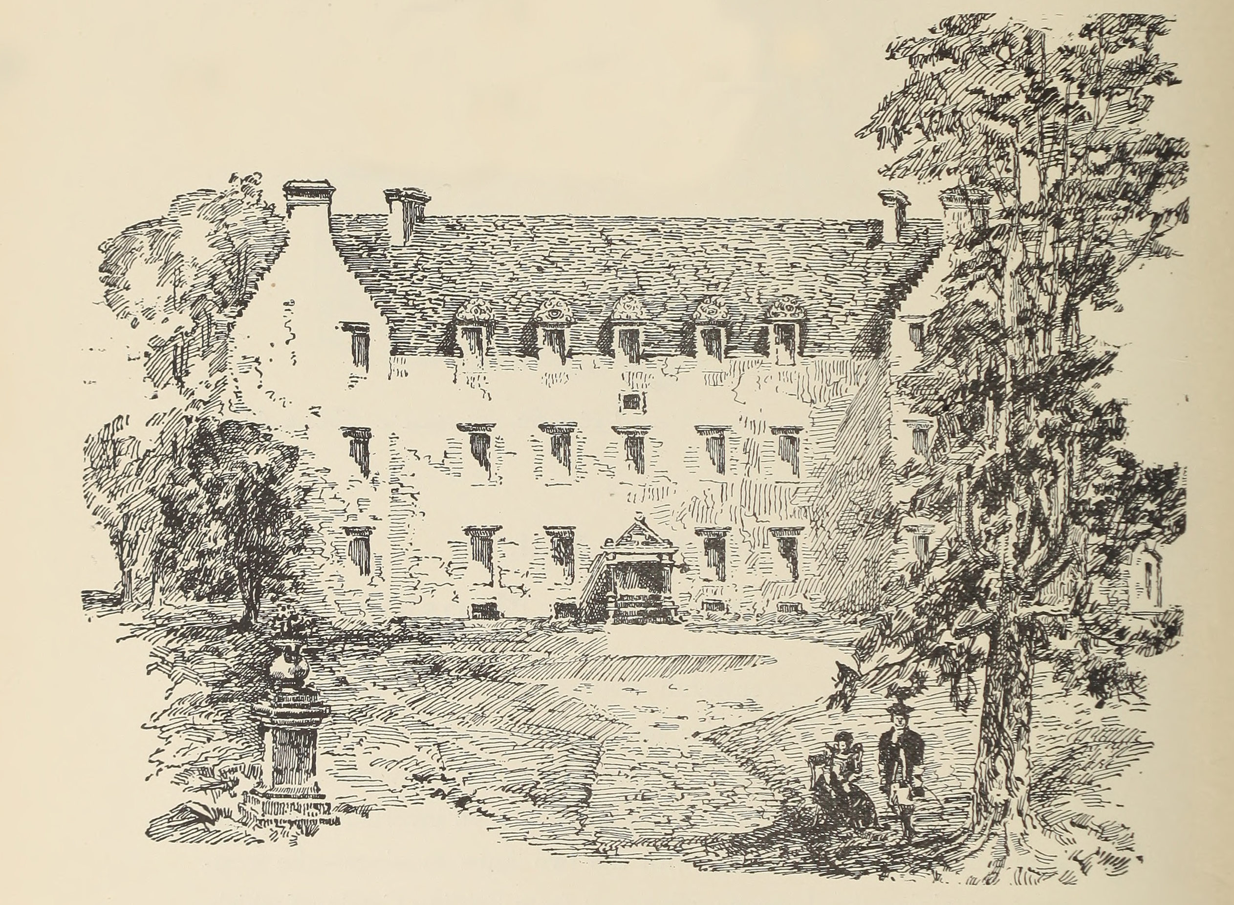
Auchenbowie House

Auchenbowie House is a laird's house (mansion) in Stirling, Scotland. The location is about 3.5 miles (5.6 km) south of Stirling, on minor road west of...
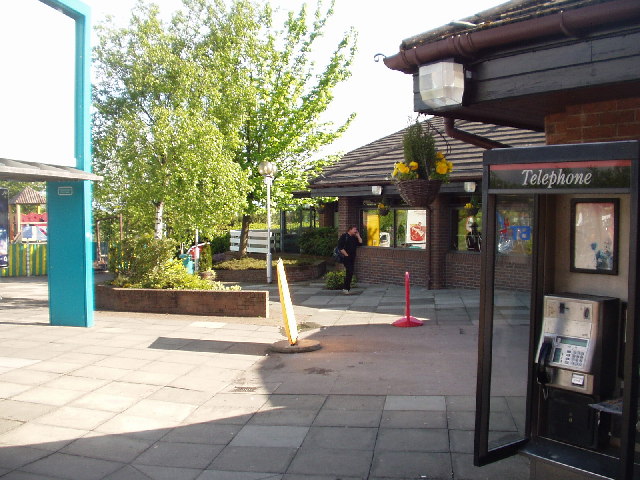
Stirling services

Stirling services is a motorway service station near Stirling, Scotland. The service station is located where the M9 motorway and M80 motorway join. It...

Bannockburn House

Bannockburn House is a property of historical significance in the town of Bannockburn. It is a Category A listed building. == History == Bannockburn House...

Howietoun Fishery

Howietoun Fishery was created by Sir James Ramsay Gibson Maitland; it is a Victorian fish farm that specialised in the study of trout and salmon farming...

Broomridge

Broomridge is a district in the south of the city of Stirling, Scotland, located north of Bannockburn and east of St. Ninians. It is home to Bannockburn...

Bannockburn

Bannockburn (Scottish Gaelic Allt a' Bhonnaich) is an area immediately south of the centre of Stirling in Scotland. It is part of the City of Stirling...

Battle of Bannockburn

The Battle of Bannockburn (Scottish Gaelic: Blàr Allt nam Bànag or Blàr Allt a' Bhonnaich) was fought on 23–24 June 1314, between the army of Robert the...

Nearby Amenities

Located within 500m of 56.067331,-3.9243125
Motorway Junction
Pirnhall Interchange
Ref: 9
Lat/Long: 56.0679815/-3.9223801
Battle of Sauchieburn (1488)
Historic: battlefield
Lat/Long: 56.0667164/-3.9168041
Power: pole
Lat/Long: 56.0644493/-3.929472
Power: pole
Lat/Long: 56.0648517/-3.9302672
Power: pole
Lat/Long: 56.0655056/-3.9304495
Power: pole
Lat/Long: 56.0662718/-3.9306632
Power: pole
Lat/Long: 56.0670157/-3.9308811
Power: pole
Lat/Long: 56.0675901/-3.931229
Power: pole
Lat/Long: 56.0681655/-3.9315831
Power: pole
Lat/Long: 56.0683574/-3.9317298
Power: pole
Lat/Long: 56.0654454/-3.9197901
Power: pole
Lat/Long: 56.0644862/-3.9192663
Power: pole
Lat/Long: 56.0639551/-3.9190107
The data included in this document is from www.openstreetmap.org. The data is made available under ODbL.

Have you been to Auchenbowie Wood?

Leave your review of Auchenbowie Wood below (or comments, questions and feedback).